Furze Plantation

Wood, Forest in Norfolk Broadland

England

Furze Plantation

Wood Farm Vernacular farm buildings at Wood Farm
Wood Farm Credit: P Gaskell

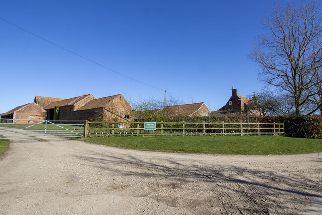
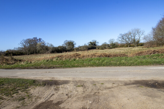
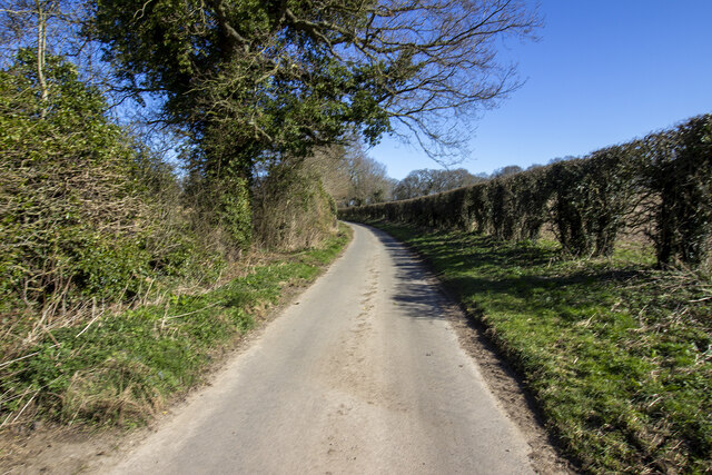
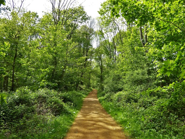
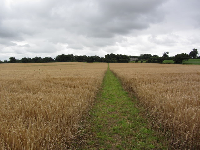
Furze Plantation is a picturesque woodland located in Norfolk, England. Covering an area of approximately 100 acres, this plantation is renowned for its lush greenery, diverse wildlife, and tranquil atmosphere. It is a popular destination for nature enthusiasts, walkers, and birdwatchers.

The woodland is primarily composed of furze, a flowering plant native to the region. With its vibrant yellow flowers and thorny branches, the furze plant adds a distinctive charm to the landscape, particularly during the spring and summer months. Alongside the furze, the plantation also features a variety of other tree species, including oak, beech, and pine, which contribute to the overall biodiversity of the area.

Furze Plantation is home to a wide range of wildlife species, making it a haven for nature lovers. Visitors may encounter various birds, such as woodpeckers, jays, and owls, as well as small mammals like rabbits, squirrels, and foxes. The woodland also provides a habitat for numerous insects, butterflies, and bees, enhancing the ecological value of the area.

The plantation offers several walking trails, allowing visitors to explore its natural beauty at their own pace. These paths wind through the woodland, offering glimpses of scenic views, tranquil ponds, and ancient trees. Additionally, there are picnic areas and benches scattered throughout the plantation, providing ideal spots for relaxation and enjoying the serene surroundings.

Overall, Furze Plantation in Norfolk is a hidden gem, offering a peaceful retreat for those seeking a connection with nature. Its diverse flora and fauna, combined with its well-maintained trails, make it a true haven for outdoor enthusiasts and a must-visit destination for anyone in search of tranquility amidst the beauty of a woodland environment.

If you have any feedback on the listing, please let us know in the comments section below.

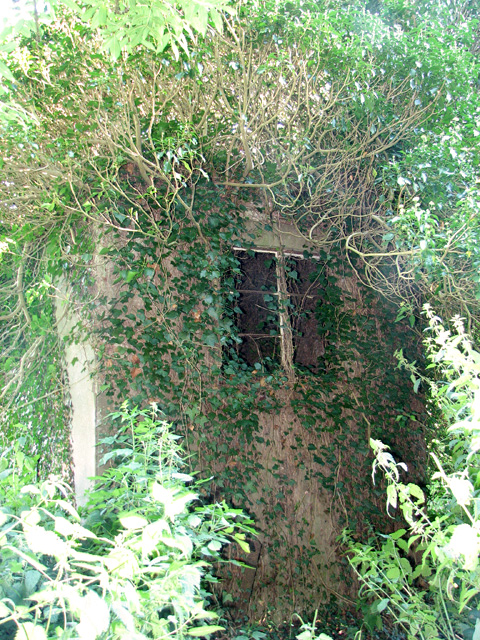
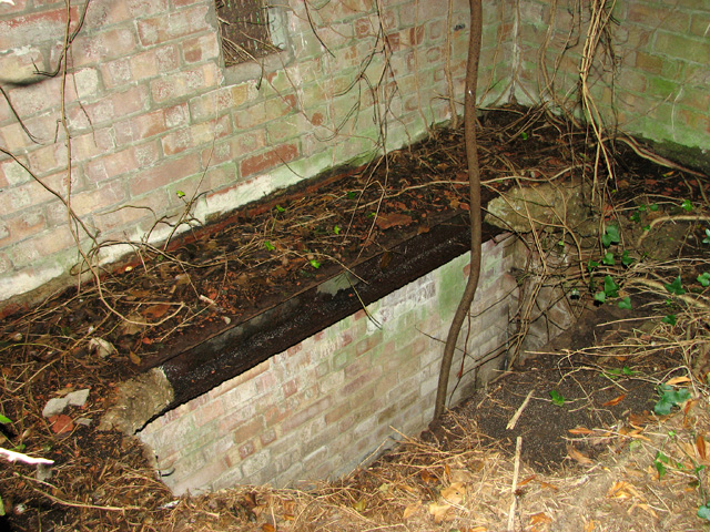
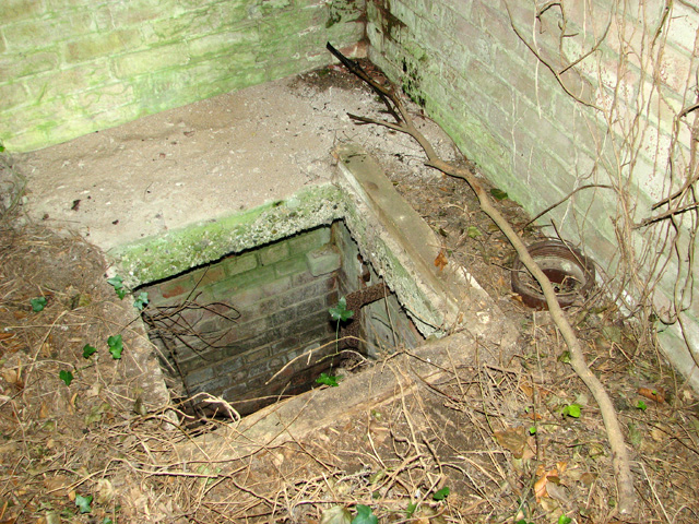
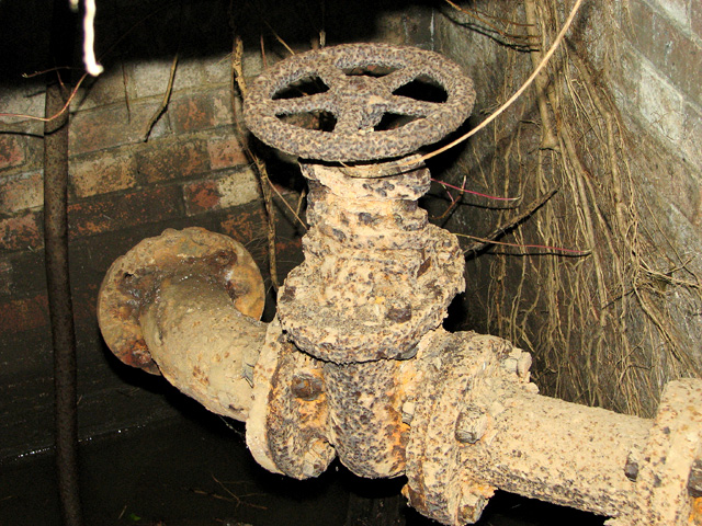
Furze Plantation Images

Images are sourced within 2km of 52.793253/1.2136628 or Grid Reference TG1626. Thanks to Geograph Open Source API. All images are credited.

Wood Farm Vernacular farm buildings at Wood Farm
Wood Farm
Vernacular farm buildings at Wood Farm
Abel Heath Open access land at Abel Heath
Abel Heath
Open access land at Abel Heath
Aylsham Road Hedgerows and hedgerow trees on Aylsham Road
Aylsham Road
Hedgerows and hedgerow trees on Aylsham Road
Blickling Estate Boundary Walk Entering the Long Plantation heading towards The Tower
Blickling Estate Boundary Walk
Entering the Long Plantation heading towards The Tower
Ivy-clad building on the edge of Oulton Belt See also > <a title="https://www.geograph.org.uk/photo/687213" href="https://www.geograph.org.uk/photo/687213">Link</a>. This was a pumping station serving the RAF Oulton campsites adjoining it in the west and south-west.
Ivy-clad building on the edge of Oulton Belt
See also > Link. This was a pumping station serving the RAF Oulton campsites adjoining it in the west and south-west.
Pumphouse interior Vandals have smashed the thick concrete cover, making the building dangerous to enter. There is no telling as to how deep the drop or the accumulation of black liquid at the bottom might be. For an exterior view see > <a title="https://www.geograph.org.uk/photo/687213" href="https://www.geograph.org.uk/photo/687213">Link</a>.
Pumphouse interior
Vandals have smashed the thick concrete cover, making the building dangerous to enter. There is no telling as to how deep the drop or the accumulation of black liquid at the bottom might be. For an exterior view see > Link.
Pumphouse interior Vandals have smashed the thick concrete cover and the adjoining manhole cover has been removed, making the building dangerous to enter. There is no telling as to how deep the drop or the accumulation of black liquid at the bottom might be. For an exterior view see > <a title="https://www.geograph.org.uk/photo/687213" href="https://www.geograph.org.uk/photo/687213">Link</a>.
Pumphouse interior
Vandals have smashed the thick concrete cover and the adjoining manhole cover has been removed, making the building dangerous to enter. There is no telling as to how deep the drop or the accumulation of black liquid at the bottom might be. For an exterior view see > Link.
Pumphouse interior Vandals have smashed the thick concrete cover, making the building dangerous to enter. There is no telling as to how deep the drop or the accumulation of black liquid at the bottom might be. This is one of the underground pipes. For an exterior view see > <a title="https://www.geograph.org.uk/photo/687213" href="https://www.geograph.org.uk/photo/687213">Link</a>.
Pumphouse interior
Vandals have smashed the thick concrete cover, making the building dangerous to enter. There is no telling as to how deep the drop or the accumulation of black liquid at the bottom might be. This is one of the underground pipes. For an exterior view see > Link.
On the Weaver's Way leading towards Silvergate, northwest  of Aylsham
On the Weaver's Way leading towards Silvergate, northwest of Aylsham
Converted windmill
Converted windmill
Marriott's Way near Alysham
Marriott's Way at Woodgate's Crossing
A stunning field of Purple Allium flowers
Bees actively gathering food from Purple Allium plants
Track past Manor Farm
Track near Stonegate Farm
Bridleway past Cawston Hospital
Cottage beside the B1145 road
Show me another place!

Furze Plantation is located at Grid Ref: TG1626 (Lat: 52.793253, Lng: 1.2136628)

Administrative County: Norfolk

District: Broadland

Police Authority: Norfolk

What 3 Words

///fiery.straddled.fetching. Near Aylsham, Norfolk

Nearby Locations

Furze Plantation Fir Grove

Related Wikis

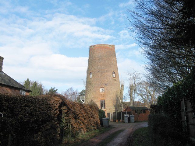
Cawston Road Mill, Aylsham

Cawston Road Mill is a tower mill at Aylsham, Norfolk, England which has been truncated and converted for use as a holiday home. == History == Cawston...

The Mermaid (river)

The Mermaid (river) is a minor tributary of the River Bure in Norfolk, England, and is approximately 6 kilometres (3.7 mi) in length. == Course == The...

Blickling

Blickling is a village and civil parish in the Broadland district of Norfolk, England, about 1.5 miles (2.4 km) north-west of Aylsham. In the 2011 census...

RAF Oulton

Royal Air Force Oulton or more simply RAF Oulton is a former Royal Air Force satellite station located 3 miles (4.8 km) west of Aylsham, Norfolk and 12...

Blickling Hall

Blickling Hall is a Jacobean stately home situated in 5,000 acres of parkland in a loop of the River Bure, near the village of Blickling north of Aylsham...

Church of St Michael, Aylsham

The Church of St Michael and All Angels, Aylsham, Norfolk, is a church of medieval origins that was built in the 14th century under the patronage of John...

Aylsham Town Hall

Aylsham Town Hall is a municipal building in the Market Place in Aylsham, Norfolk, England. The structure, which accommodates the offices and meeting place...

Bluestone railway station

Bluestone railway station was a station in Norfolk, England. It was on the Midland and Great Northern Joint Railway between Corpusty and Aylsham North...

Nearby Amenities

Located within 500m of 52.793253,1.2136628
Power: pole
Lat/Long: 52.7933927/1.2079114
Power: pole
Lat/Long: 52.7937089/1.2096441
Power: pole
Lat/Long: 52.7940317/1.2113902
Power: pole
Lat/Long: 52.7943788/1.2131792
Power: pole
Lat/Long: 52.7947031/1.2150755
Power: pole
Lat/Long: 52.7950924/1.2170175
Power: pole
Lat/Long: 52.795583/1.2183076
The data included in this document is from www.openstreetmap.org. The data is made available under ODbL.

Have you been to Furze Plantation?

Leave your review of Furze Plantation below (or comments, questions and feedback).