Chestnut Spinney

Wood, Forest in Suffolk Babergh

England

Chestnut Spinney

Coxhall Road Towards Holbrook.
Coxhall Road Credit: Robin Webster

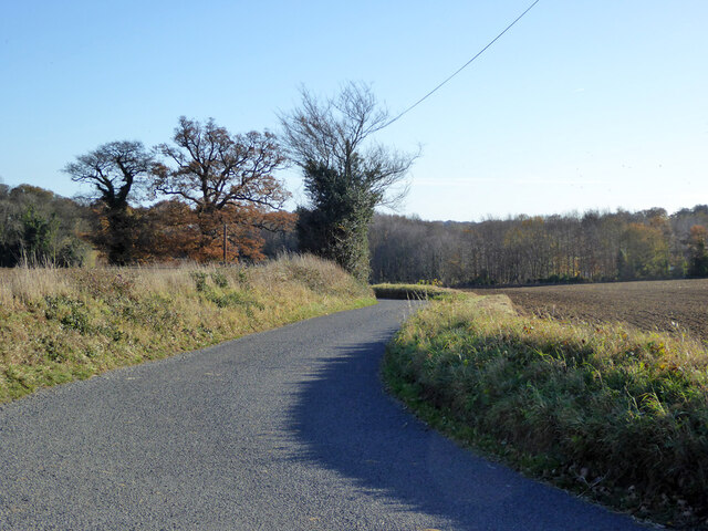
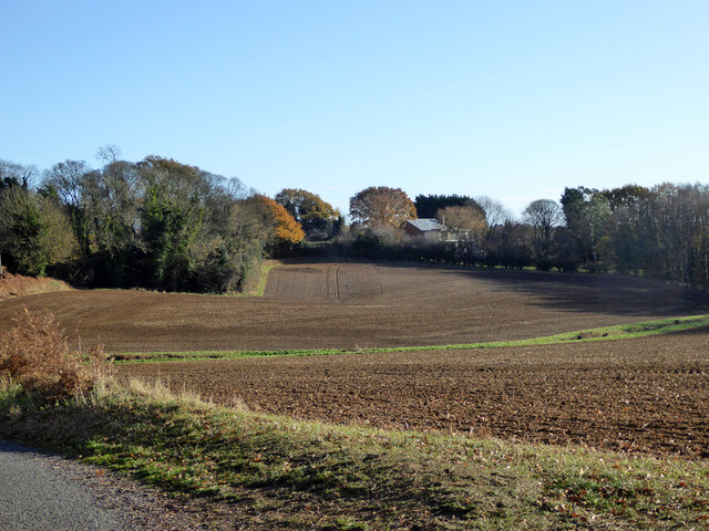
Chestnut Spinney is a picturesque woodland located in Suffolk, England. Covering an area of approximately 20 acres, it is classified as a spinney, which is a small wood or copse.

The woodland is primarily composed of chestnut trees, hence its name, but also features a variety of other tree species such as oak, birch, and beech. The dense canopy created by these trees provides a cool and shady atmosphere, making it an ideal place for a leisurely stroll or a peaceful picnic.

Chestnut Spinney is known for its rich biodiversity, serving as a habitat for a wide range of flora and fauna. The forest floor is carpeted with a diverse array of wildflowers, including bluebells and primroses, which bloom in abundance during the spring months. The wood is also home to a variety of bird species, including woodpeckers and owls, making it a popular spot for birdwatchers.

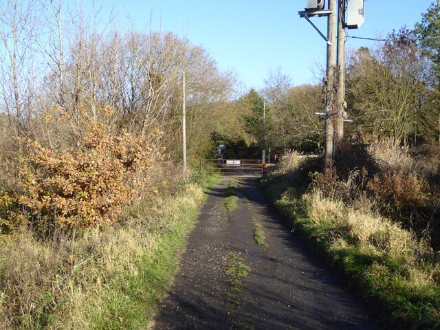
The woodland is easily accessible, with well-maintained footpaths winding through the trees, allowing visitors to explore and enjoy the natural beauty of the area. Interpretive signs are placed along the paths, providing information about the different tree species and wildlife that can be found within the spinney.

Chestnut Spinney is a popular destination for nature lovers and outdoor enthusiasts alike, offering a tranquil escape from the hustle and bustle of everyday life. It provides a peaceful and serene environment where visitors can connect with nature and appreciate the beauty of the Suffolk countryside.

If you have any feedback on the listing, please let us know in the comments section below.

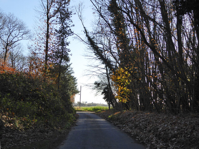
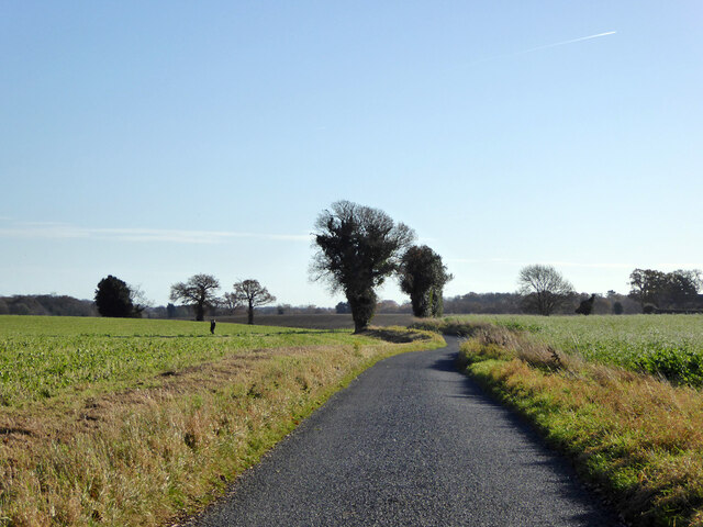
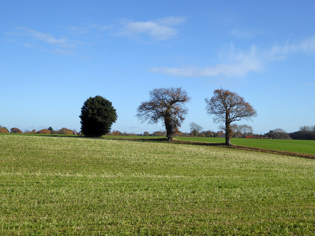
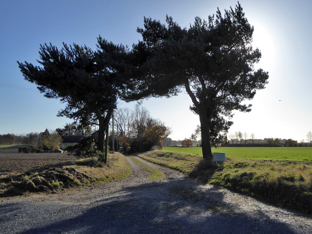
Chestnut Spinney Images

Images are sourced within 2km of 51.977088/1.1509529 or Grid Reference TM1635. Thanks to Geograph Open Source API. All images are credited.

Coxhall Road Towards Holbrook.
Coxhall Road
Towards Holbrook.
Hyams Lane Towards Holbrook.
Hyams Lane
Towards Holbrook.
Farmland with trees West of Holbrook.
Farmland with trees
West of Holbrook.
Track to Alton Hall Cottages Also a footpath to and over the Alton Water dam.
Track to Alton Hall Cottages
Also a footpath to and over the Alton Water dam.
Hyams Lane Towards Holbrook.
Hyams Lane
Towards Holbrook.
Fields SW of Holbrook
War memorial, Holbrook Grade II listed, 1921.
War memorial, Holbrook
Grade II listed, 1921.
B1080 Ipswich Road by The Compasses, Holbrook
Corner house, Admirals Quarter development, Holbrook At the time (2017), building was in hand, this corner was completed first.
Corner house, Admirals Quarter development, Holbrook
At the time (2017), building was in hand, this corner was completed first.
Fishponds Lane Crossing the dam of the largest fish pond (to the left).
Fishponds Lane
Crossing the dam of the largest fish pond (to the left).
View east from Harkstead Road Towards the Royal Hospital School.
View east from Harkstead Road
Towards the Royal Hospital School.
Cottages, Harkstead Road A grade II listed building, the right end older, 16th/17th century or earlier.
Cottages, Harkstead Road
A grade II listed building, the right end older, 16th/17th century or earlier.
Track up from Alton Wharf A public footpath.
Track up from Alton Wharf
A public footpath.
Alton Wharf, Holbrook Creek Off the Stour estuary.
Alton Wharf, Holbrook Creek
Off the Stour estuary.
Alton Wharf, Holbrook Creek Off the Stour estuary.
Alton Wharf, Holbrook Creek
Off the Stour estuary.
Boat, Holbrook Creek, low tide Just off Alton Wharf.
Boat, Holbrook Creek, low tide
Just off Alton Wharf.
Boats, Holbrook Creek, low tide The tower of the Royal Hospital School is in the distance.
Boats, Holbrook Creek, low tide
The tower of the Royal Hospital School is in the distance.
Very low cliff, Holbrook Bay Since late Victorian times, about 30 m of land has been lost here.
Very low cliff, Holbrook Bay
Since late Victorian times, about 30 m of land has been lost here.
Show me another place!

Chestnut Spinney is located at Grid Ref: TM1635 (Lat: 51.977088, Lng: 1.1509529)

Administrative County: Suffolk

District: Babergh

Police Authority: Suffolk

What 3 Words

///extreme.thousands.compiler. Near Holbrook, Suffolk

Related Wikis

Royal Hospital School

The Royal Hospital School (usually shortened as "RHS" and historically nicknamed "The Cradle of the Navy") is a British co-educational fee-charging boarding...

Holbrook, Suffolk

Holbrook is a village situated close to the northern shore of the estuary of the River Stour, in Suffolk, England. It is located on the Shotley Peninsula...

Alton Water

Alton Water (or Alton Reservoir) is a manmade reservoir located on the Shotley peninsula. It is the largest in Suffolk, with a perimeter of over 8 miles...

Holbrook Academy, Suffolk

Holbrook Academy is a secondary school with academy status located in the village of Holbrook, 5 miles (8 km) south of Ipswich in the English county of...

Nearby Amenities

Located within 500m of 51.977088,1.1509529
Bus Stop
Hospital School
Local Ref: opp
Naptan AtcoCode: 390010664
Naptan Bearing: NE
Naptan CommonName: Hospital School
Naptan Landmark: Hospital School
Naptan NaptanCode: sufjdjgm
Naptan Street: Primrose Hill
Naptan Verified: yes
Public Transport: platform
Shelter: yes
Source: naptan_import
Lat/Long: 51.9739883/1.1500592
Hospital School
Local Ref: o/s
Naptan AtcoCode: 390010665
Naptan Bearing: SW
Naptan BusStopType: CUS
Naptan CommonName: Hospital School
Naptan Landmark: Hospital School
Naptan NaptanCode: sufjdjgp
Naptan Street: Primrose Hill
Naptan Verified: no
Public Transport: platform
Source: naptan_import
Lat/Long: 51.9739049/1.1502332
Power: pole
Lat/Long: 51.9787021/1.153968
Power: pole
Lat/Long: 51.9792373/1.1572808
Power: pole
Lat/Long: 51.9800343/1.1558754
Location Transition: yes
Power: pole
Lat/Long: 51.978224/1.1524423
Power: pole
Lat/Long: 51.9799799/1.1558727
Power: pole
Lat/Long: 51.9792721/1.1558022
Power: pole
Lat/Long: 51.9797664/1.1563478
Power: pole
Lat/Long: 51.9784853/1.1532156
Power: pole
Lat/Long: 51.9789172/1.1546602
Information: map
Tourism: information
Lat/Long: 51.9755191/1.1464472
Man Made: flagpole
Lat/Long: 51.9755394/1.1464197
Hiking: yes
Information: guidepost
Tourism: information
Lat/Long: 51.9797189/1.1460174
Bench
Backrest: yes
Lat/Long: 51.9755809/1.1466068
Bench
Backrest: yes
Lat/Long: 51.9756067/1.1466477
Information: guidepost
Tourism: information
Lat/Long: 51.9757302/1.1468093
The data included in this document is from www.openstreetmap.org. The data is made available under ODbL.

Have you been to Chestnut Spinney?

Leave your review of Chestnut Spinney below (or comments, questions and feedback).