Long Covert

Wood, Forest in Suffolk Babergh

England

Long Covert

Hyams Lane Towards Holbrook.
Hyams Lane Credit: Robin Webster

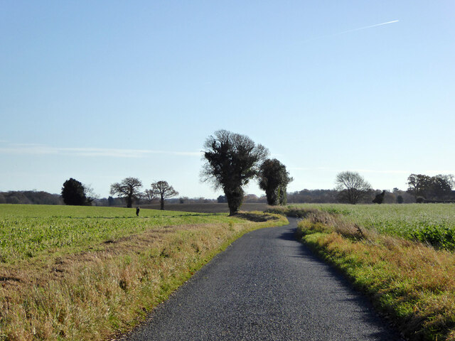
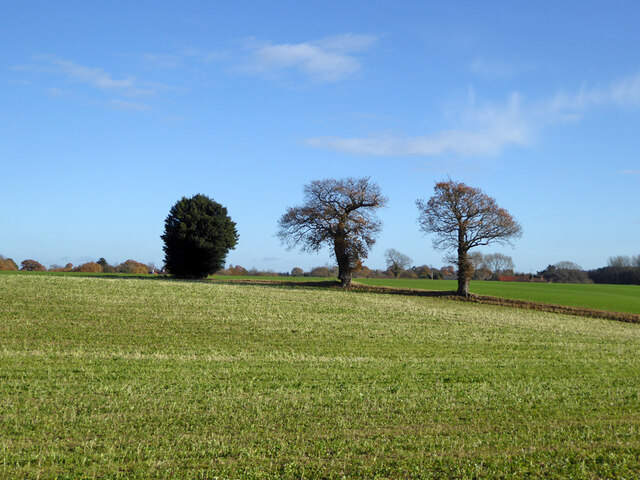
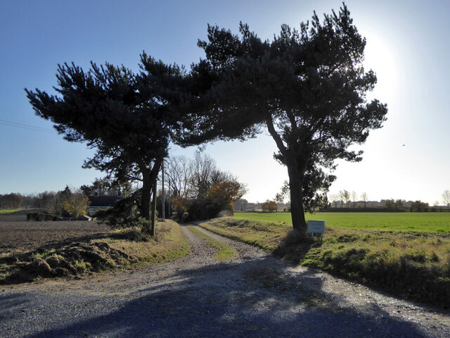
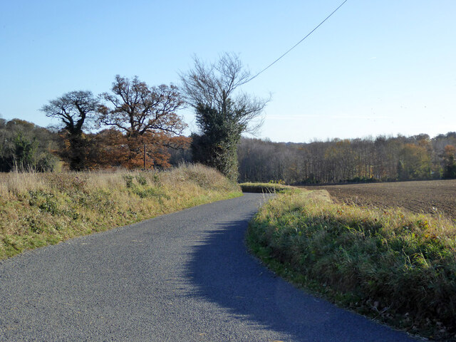
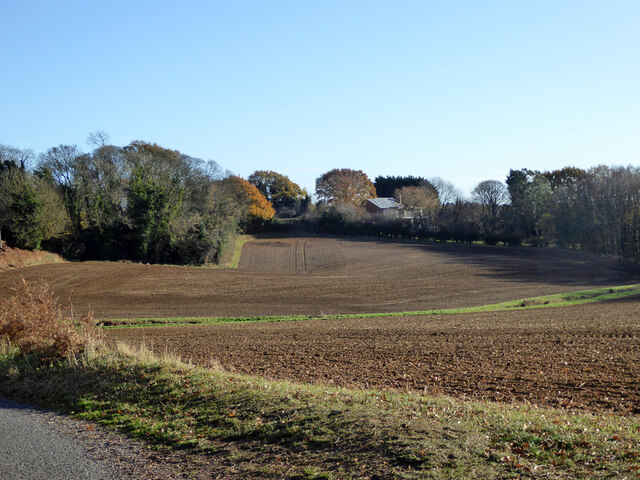
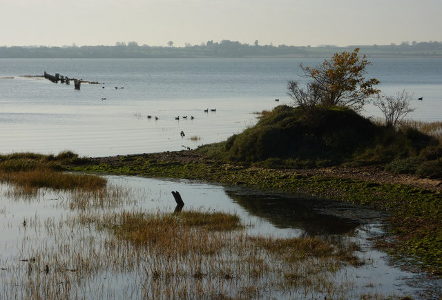
Long Covert is a dense woodland located in Suffolk, England. Situated in the heart of the county, it covers an expansive area of approximately 100 hectares. The forest is predominantly made up of deciduous trees, including oak, beech, birch, and ash, creating a lush and diverse ecosystem.

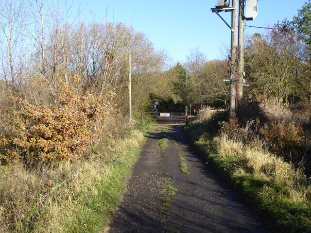
The woodland is known for its thick undergrowth, comprised of ferns, bracken, and wildflowers, which contribute to its vibrant and enchanting appearance. Several walking trails wind through the forest, offering visitors the opportunity to explore its hidden wonders. These paths are well-maintained and provide access to various viewpoints, where one can admire the stunning scenery and observe the local wildlife.

Long Covert is home to an array of wildlife species, making it a popular destination for nature enthusiasts. The forest is inhabited by deer, foxes, badgers, and numerous bird species, including woodpeckers, owls, and various songbirds. The diverse ecosystem also supports a wide range of insects, amphibians, and reptiles.

The woodland has a rich history, with evidence of human habitation dating back centuries. Archaeological discoveries, such as ancient burial mounds and remnants of old settlements, have been found within the forest. These historical artifacts contribute to the area's cultural significance and intrigue.

Long Covert is a tranquil and serene location, offering a peaceful escape from the hustle and bustle of everyday life. Whether one is seeking a leisurely walk, birdwatching, or simply a place to connect with nature, this Suffolk woodland provides a captivating and rejuvenating experience.

If you have any feedback on the listing, please let us know in the comments section below.

Long Covert Images

Images are sourced within 2km of 51.97404/1.1539427 or Grid Reference TM1635. Thanks to Geograph Open Source API. All images are credited.

Hyams Lane Towards Holbrook.
Hyams Lane
Towards Holbrook.
Farmland with trees West of Holbrook.
Farmland with trees
West of Holbrook.
Track to Alton Hall Cottages Also a footpath to and over the Alton Water dam.
Track to Alton Hall Cottages
Also a footpath to and over the Alton Water dam.
Hyams Lane Towards Holbrook.
Hyams Lane
Towards Holbrook.
Fields SW of Holbrook
War memorial, Holbrook Grade II listed, 1921.
War memorial, Holbrook
Grade II listed, 1921.
B1080 Ipswich Road by The Compasses, Holbrook
Corner house, Admirals Quarter development, Holbrook At the time (2017), building was in hand, this corner was completed first.
Corner house, Admirals Quarter development, Holbrook
At the time (2017), building was in hand, this corner was completed first.
Fishponds Lane Crossing the dam of the largest fish pond (to the left).
Fishponds Lane
Crossing the dam of the largest fish pond (to the left).
View east from Harkstead Road Towards the Royal Hospital School.
View east from Harkstead Road
Towards the Royal Hospital School.
Cottages, Harkstead Road A grade II listed building, the right end older, 16th/17th century or earlier.
Cottages, Harkstead Road
A grade II listed building, the right end older, 16th/17th century or earlier.
Track up from Alton Wharf A public footpath.
Track up from Alton Wharf
A public footpath.
Alton Wharf, Holbrook Creek Off the Stour estuary.
Alton Wharf, Holbrook Creek
Off the Stour estuary.
Alton Wharf, Holbrook Creek Off the Stour estuary.
Alton Wharf, Holbrook Creek
Off the Stour estuary.
Boat, Holbrook Creek, low tide Just off Alton Wharf.
Boat, Holbrook Creek, low tide
Just off Alton Wharf.
Boats, Holbrook Creek, low tide The tower of the Royal Hospital School is in the distance.
Boats, Holbrook Creek, low tide
The tower of the Royal Hospital School is in the distance.
Very low cliff, Holbrook Bay Since late Victorian times, about 30 m of land has been lost here.
Very low cliff, Holbrook Bay
Since late Victorian times, about 30 m of land has been lost here.
Royal Hospital School A grade II*(star) listed building of the 1920s/30s.
Royal Hospital School
A grade II*(star) listed building of the 1920s/30s.
Show me another place!

Long Covert is located at Grid Ref: TM1635 (Lat: 51.97404, Lng: 1.1539427)

Administrative County: Suffolk

District: Babergh

Police Authority: Suffolk

What 3 Words

///game.viewer.roughness. Near Holbrook, Suffolk

Related Wikis

Royal Hospital School

The Royal Hospital School (usually shortened as "RHS" and historically nicknamed "The Cradle of the Navy") is a British co-educational fee-charging boarding...

Holbrook, Suffolk

Holbrook is a village situated close to the northern shore of the estuary of the River Stour, in Suffolk, England. It is located on the Shotley Peninsula...

Alton Water

Alton Water (or Alton Reservoir) is a manmade reservoir located on the Shotley peninsula. It is the largest in Suffolk, with a perimeter of over 8 miles...

Holbrook Academy, Suffolk

Holbrook Academy is a secondary school with academy status located in the village of Holbrook, 5 miles (8 km) south of Ipswich in the English county of...

Stutton, Suffolk

Stutton is a small village and a civil parish approximately seven miles south of Ipswich in Suffolk, United Kingdom, on the Shotley peninsula. The village...

Harkstead

Harkstead is a village and civil parish in the county of Suffolk, England. The village is located on the northern bank of the River Stour estuary at Holbrook...

Shotley Peninsula

The Shotley Peninsula is a rural area east of the A137 Ipswich-Colchester road located between the rivers Stour and Orwell in Suffolk, England. The peninsula...

Stour Estuary

Stour Estuary is a 2,523 hectare biological and geological Site of Special Scientific Interest which stretches from Manningtree to Harwich in Essex and...

Nearby Amenities

Located within 500m of 51.97404,1.1539427
Bus Stop
Royal Hospital School
Local Ref: opp
Naptan AtcoCode: 390010041
Naptan Bearing: NE
Naptan CommonName: Royal Hospital School
Naptan Landmark: Royal Hospital School
Naptan NaptanCode: sufadatp
Naptan Street: B1080
Naptan Verified: no
Public Transport: platform
Source: naptan_import
Lat/Long: 51.9728794/1.1475737
Bus Stop
Royal Hospital School
Local Ref: o/s
Naptan AtcoCode: 390010042
Naptan Bearing: SW
Naptan CommonName: Royal Hospital School
Naptan Landmark: Royal Hospital School
Naptan NaptanCode: sufadatw
Naptan Street: B1080
Naptan Verified: no
Public Transport: platform
Source: naptan_import
Lat/Long: 51.9725395/1.1473561
Bus Stop
Hospital School
Local Ref: opp
Naptan AtcoCode: 390010664
Naptan Bearing: NE
Naptan CommonName: Hospital School
Naptan Landmark: Hospital School
Naptan NaptanCode: sufjdjgm
Naptan Street: Primrose Hill
Naptan Verified: yes
Public Transport: platform
Shelter: yes
Source: naptan_import
Lat/Long: 51.9739883/1.1500592
Hospital School
Local Ref: o/s
Naptan AtcoCode: 390010665
Naptan Bearing: SW
Naptan BusStopType: CUS
Naptan CommonName: Hospital School
Naptan Landmark: Hospital School
Naptan NaptanCode: sufjdjgp
Naptan Street: Primrose Hill
Naptan Verified: no
Public Transport: platform
Source: naptan_import
Lat/Long: 51.9739049/1.1502332
Location Transition: yes
Power: pole
Lat/Long: 51.978224/1.1524423
Power: pole
Lat/Long: 51.9784853/1.1532156
Post Box
Collection Times: Mo-Fr 16:30; Sa 09:30
Operator: Royal Mail
Operator Type: private
Operator Wikidata: Q638098
Post Box Mounting: brick_wall
Post Box Type: wall
Ref: IP9 1267
Royal Cypher: GR
Royal Cypher Wikidata: Q33102273
Lat/Long: 51.9729398/1.1477497
Public Bookcase
Booth: K6
Covered: booth
Listed Status: Grade II
Man Made: telephone_box
Operator: Royal Hospital School
Public Bookcase Type: phone_box
Lat/Long: 51.97291/1.1477014
Restaurant
Lat/Long: 51.9725453/1.1500965
The data included in this document is from www.openstreetmap.org. The data is made available under ODbL.

Have you been to Long Covert?

Leave your review of Long Covert below (or comments, questions and feedback).