Barton Wood
Wood, Forest in Kent Canterbury
England
Barton Wood
Barton Wood, located in Kent, England, is a picturesque woodland area that spans over a vast expanse. With its lush greenery, diverse flora and fauna, and tranquil atmosphere, it is a popular destination for nature lovers and outdoor enthusiasts alike. The wood is part of the larger Barton Estate, which encompasses several other natural areas and historical sites.
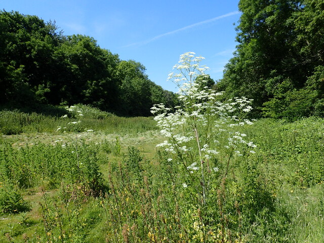
Covering an area of approximately 500 acres, Barton Wood is primarily composed of deciduous trees such as oak, beech, and birch. These trees provide a vibrant display of colors during the autumn months, attracting visitors from far and wide. The wood is also home to a variety of wildlife, including deer, rabbits, squirrels, and a vast array of bird species.
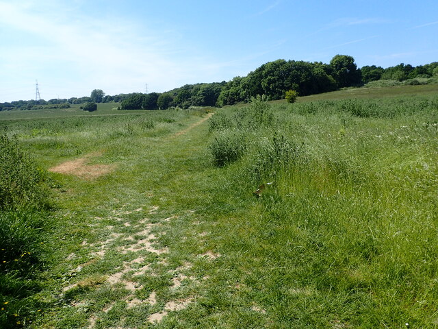
A network of well-maintained walking trails winds through Barton Wood, allowing visitors to explore its beauty at their own pace. These trails offer breathtaking views of the surrounding countryside and provide opportunities for birdwatching and photography. The wood is particularly popular in the spring when it becomes a haven for wildflowers, creating a stunning spectacle of colors.
Barton Wood is also rich in history, with evidence of human activity dating back centuries. The remains of an Iron Age hillfort can be found within the wood, providing insights into the area's ancient past. Additionally, there are remnants of old buildings and structures that serve as a reminder of the wood's former use as a hunting ground for the nobility.
Overall, Barton Wood in Kent is a natural treasure that offers visitors an escape from the hustle and bustle of the modern world. Its beauty, biodiversity, and historical significance make it a must-visit destination for nature enthusiasts and history buffs alike.
If you have any feedback on the listing, please let us know in the comments section below.
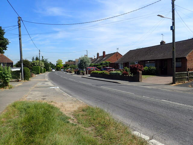
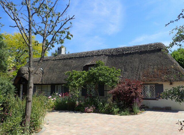
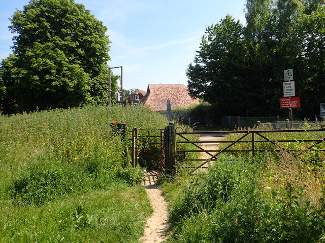
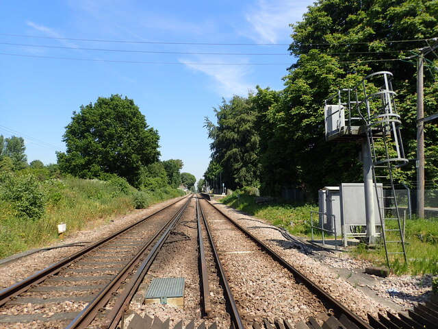
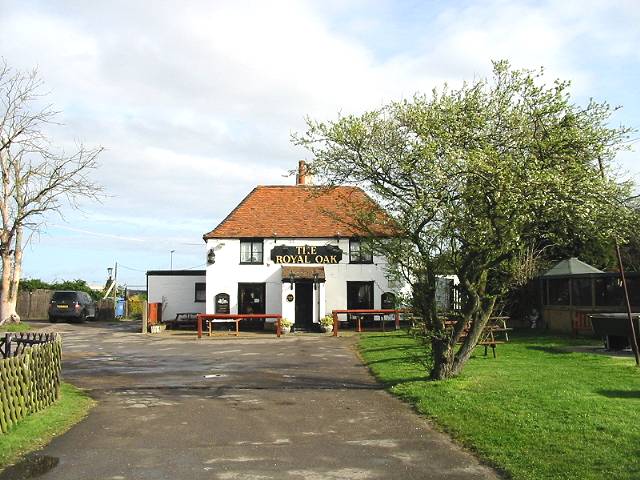
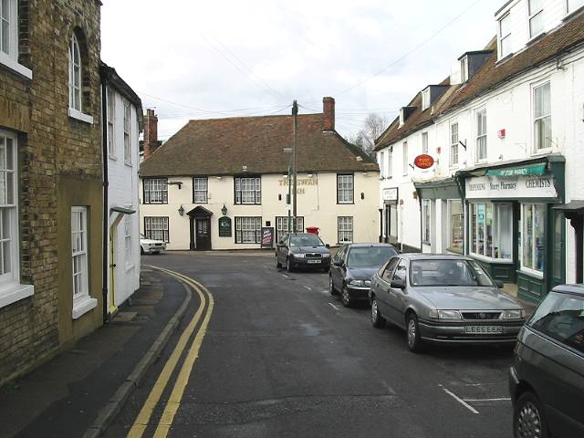
Barton Wood Images
Images are sourced within 2km of 51.306798/1.0951208 or Grid Reference TR1560. Thanks to Geograph Open Source API. All images are credited.


Barton Wood is located at Grid Ref: TR1560 (Lat: 51.306798, Lng: 1.0951208)
Administrative County: Kent
District: Canterbury
Police Authority: Kent
What 3 Words
///crossword.burden.puts. Near Sturry, Kent
Nearby Locations
Related Wikis
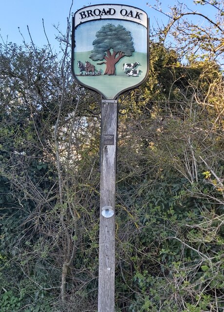
Broad Oak, Kent
Broad Oak is a village in Sturry parish, Kent, England. It lies west of the A291 road to Herne Bay; the centre of the village is about half a mile northwest...

Hackington
Hackington is an area of Canterbury in Kent, England, also known (especially historically) as St Stephen's, incorporating the northern part of the city...

Hales Place
The residential area known as Hales Place is part of the civil parish of Hackington, and lies to the north of the city of Canterbury in Kent, England....

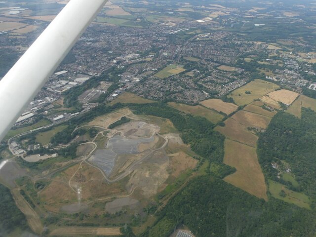
Sturry Pit
Sturry Pit is a 0.7 hectares (1.7 acres) geological Site of Special Scientific Interest north-east of Canterbury in Kent. It is a Geological Conservation...
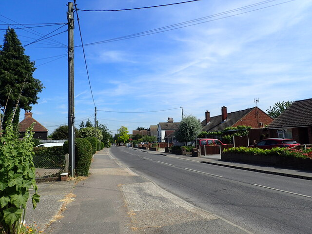
Tyler Hill, Kent
Tyler Hill is a small village on the northern outskirts of Canterbury, Kent in England. The population is included in the civil parish of Hackington. Its...
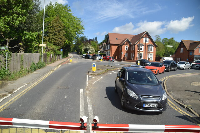
Sturry
Sturry is a village on the Great Stour river situated 3 miles (4.8 km) northeast of Canterbury in Kent. Its large civil parish incorporates several hamlets...

Tithe Barn, Sturry
The Tithe Barn, Sturry, Kent, England is a barn dating from the early 16th century. The barn was built as the tithe barn for the grange of St Augustine...

St Nicholas' Church, Sturry
St Nicholas' Church, Sturry, is a joint Anglican and Methodist church standing on a bank beside the River Stour, in the village of Sturry, near Canterbury...
Nearby Amenities
Located within 500m of 51.306798,1.0951208Have you been to Barton Wood?
Leave your review of Barton Wood below (or comments, questions and feedback).