Little Birch Wood
Wood, Forest in Suffolk Babergh
England
Little Birch Wood
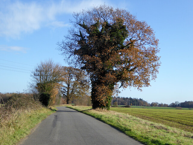
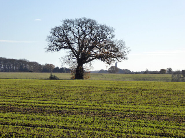
Little Birch Wood is a charming woodland located in the county of Suffolk, England. Situated near the village of Little Birch, the wood covers an area of approximately 150 acres, making it an ideal destination for nature enthusiasts and outdoor enthusiasts.
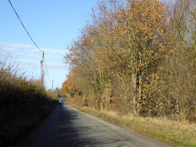
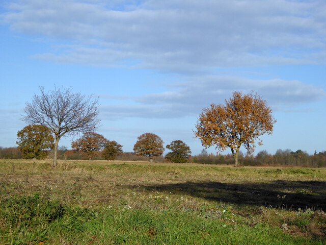
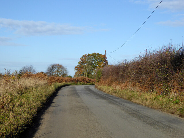
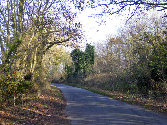
This forested area is characterized by its diverse range of tree species, including oak, beech, ash, and birch trees, which collectively create a picturesque and serene environment. The wood is also home to a variety of wildlife, such as deer, rabbits, foxes, and a plethora of bird species, making it a popular spot for birdwatchers and nature photographers.
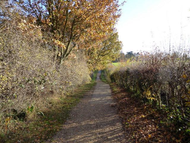
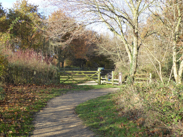
Little Birch Wood boasts several well-maintained walking trails that wind through its enchanting landscape, providing visitors with the opportunity to explore and immerse themselves in the beauty of nature. These paths are suitable for all ages and fitness levels, offering a pleasant and accessible outdoor experience.
The wood is managed by a dedicated team of conservationists who strive to maintain its natural beauty and protect its wildlife. They regularly organize educational events and guided walks, allowing visitors to learn about the flora and fauna that inhabit the woodland.
Additionally, the wood features several picnic spots and benches, allowing visitors to relax and enjoy a peaceful meal amidst the tranquil surroundings. There are also designated areas for camping and barbecues, providing a chance for overnight stays and family gatherings.
Overall, Little Birch Wood in Suffolk is a delightful destination for those seeking a serene and immersive experience in nature. Its diverse range of trees, abundance of wildlife, and well-maintained trails make it a must-visit location for nature lovers and outdoor enthusiasts alike.
If you have any feedback on the listing, please let us know in the comments section below.
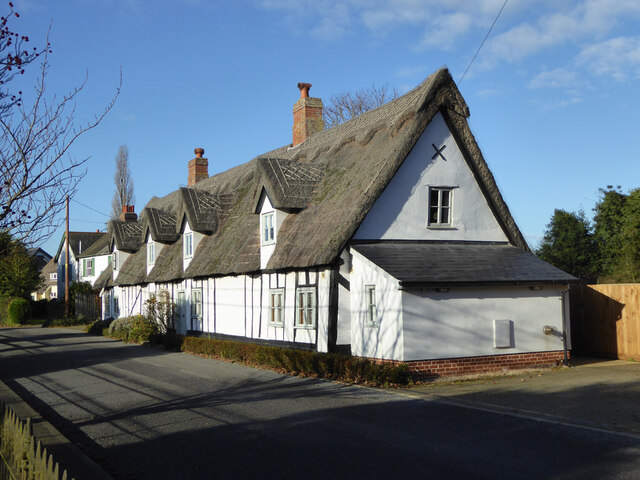
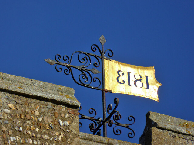
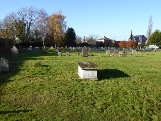
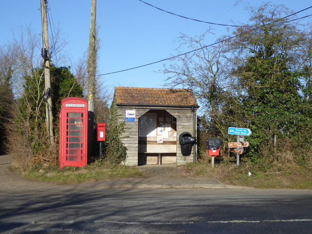
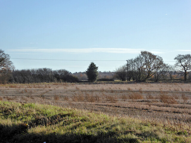
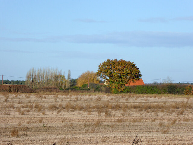
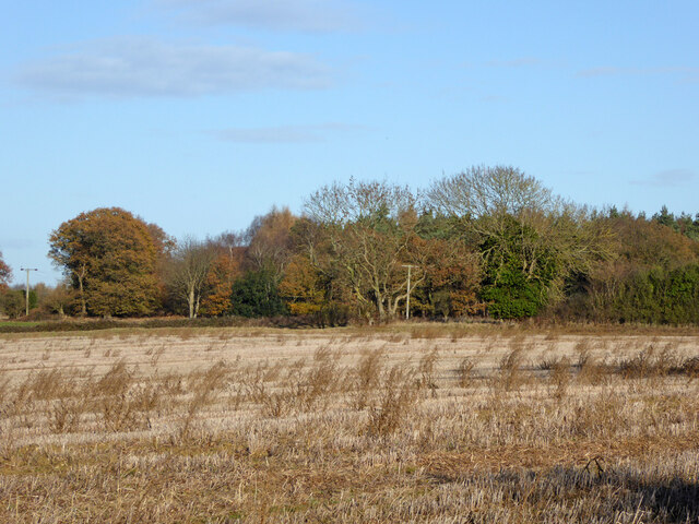
Little Birch Wood Images
Images are sourced within 2km of 51.990582/1.1319858 or Grid Reference TM1537. Thanks to Geograph Open Source API. All images are credited.
Little Birch Wood is located at Grid Ref: TM1537 (Lat: 51.990582, Lng: 1.1319858)
Administrative County: Suffolk
District: Babergh
Police Authority: Suffolk
What 3 Words
///dads.refusals.guarding. Near Holbrook, Suffolk
Nearby Locations
Related Wikis

Alton Water
Alton Water (or Alton Reservoir) is a manmade reservoir located on the Shotley peninsula. It is the largest in Suffolk, with a perimeter of over 8 miles...
Tattingstone Wonder
The Tattingstone Wonder is a folly at Tattingstone in Suffolk, England. Located some 6 miles (9.7 km) south of Ipswich the Tattingstone Wonder was originally...

Tattingstone
Tattingstone is a village and civil parish in Suffolk, England. It is situated on the Shotley peninsula, about 5 miles (8 km) south of Ipswich. The 2011...

Holbrook Academy, Suffolk
Holbrook Academy is a secondary school with academy status located in the village of Holbrook, 5 miles (8 km) south of Ipswich in the English county of...
Blackbourn Hundred
Blackbourn was a hundred of Suffolk, consisting of 66,272 acres (26,819 ha). Blackbourn hundred was situated in the north-west of Suffolk. Its northern...
Samford Hundred
Samford was a hundred of Suffolk, consisting of 44,940 acres (181.9 km2). It was situated to the south and south west of Ipswich. The hundred was bounded...

Holbrook, Suffolk
Holbrook is a village situated close to the northern shore of the estuary of the River Stour, in Suffolk, England. It is located on the Shotley Peninsula...

Stutton, Suffolk
Stutton is a small village and a civil parish approximately seven miles south of Ipswich in Suffolk, United Kingdom, on the Shotley peninsula. The village...
Nearby Amenities
Located within 500m of 51.990582,1.1319858Have you been to Little Birch Wood?
Leave your review of Little Birch Wood below (or comments, questions and feedback).