Hale's Grove
Wood, Forest in Suffolk Babergh
England
Hale's Grove
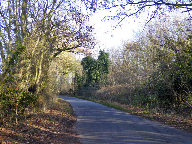
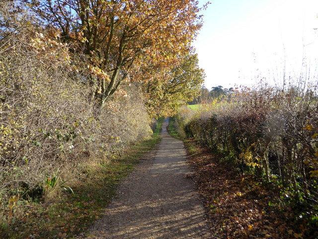
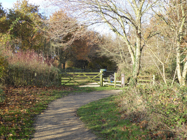
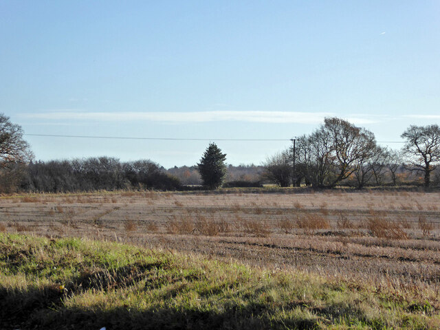
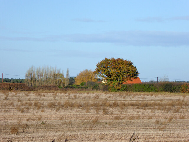
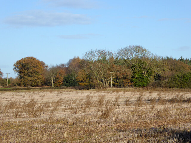
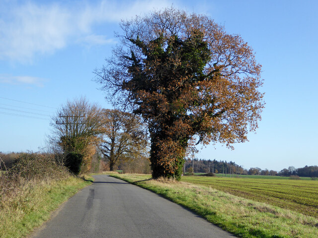
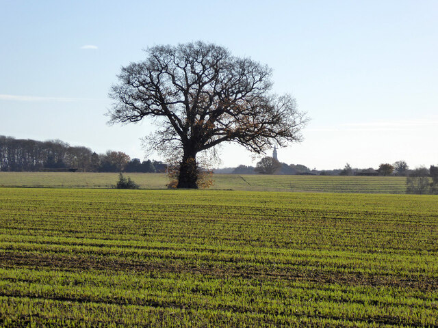
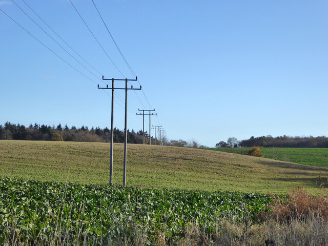
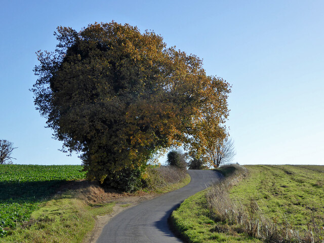
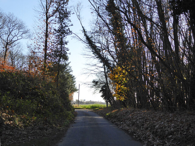
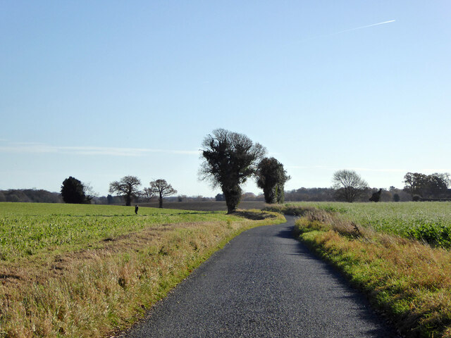
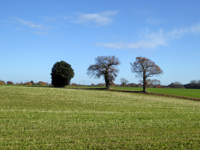
Hale's Grove, located in Suffolk, England, is a picturesque woodland area known for its natural beauty and diverse flora and fauna. Covering an expansive area, the grove is often referred to as a forest due to its dense and extensive tree coverage. It is nestled in the heart of the countryside, offering a tranquil and serene setting for visitors to explore and enjoy.
The woodland of Hale's Grove is primarily composed of deciduous trees, such as oak, beech, and birch, which create a rich and vibrant canopy overhead. The forest floor is adorned with a variety of wildflowers, ferns, and mosses, adding to the area's enchanting atmosphere. The grove is also home to numerous species of wildlife, including deer, foxes, badgers, and a wide range of bird species.
Visitors to Hale's Grove can partake in a range of activities, such as hiking, birdwatching, and nature photography. There are well-maintained paths that wind through the forest, allowing visitors to explore its hidden corners and discover its natural wonders. Along the trails, there are also designated picnic areas, providing an opportunity for visitors to relax and soak in the peaceful surroundings.
Hale's Grove is a popular destination for nature enthusiasts and those seeking a retreat from the hustle and bustle of urban life. Its unspoiled beauty and tranquil ambiance make it an ideal location for individuals and families looking to reconnect with nature and enjoy the peacefulness of the countryside.
If you have any feedback on the listing, please let us know in the comments section below.
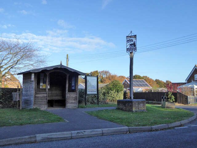
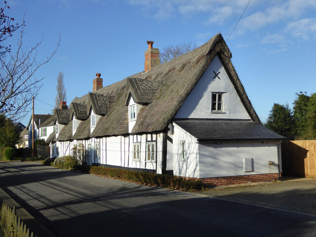
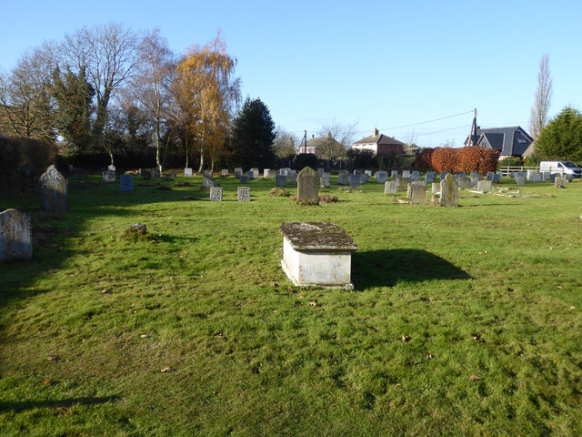
Hale's Grove Images
Images are sourced within 2km of 51.991016/1.137319 or Grid Reference TM1537. Thanks to Geograph Open Source API. All images are credited.
Hale's Grove is located at Grid Ref: TM1537 (Lat: 51.991016, Lng: 1.137319)
Administrative County: Suffolk
District: Babergh
Police Authority: Suffolk
What 3 Words
///tester.nurses.pedicure. Near Holbrook, Suffolk
Nearby Locations
Related Wikis

Alton Water
Alton Water (or Alton Reservoir) is a manmade reservoir located on the Shotley peninsula. It is the largest in Suffolk, with a perimeter of over 8 miles...

Holbrook Academy, Suffolk
Holbrook Academy is a secondary school with academy status located in the village of Holbrook, 5 miles (8 km) south of Ipswich in the English county of...

Holbrook, Suffolk
Holbrook is a village situated close to the northern shore of the estuary of the River Stour, in Suffolk, England. It is located on the Shotley Peninsula...
Tattingstone Wonder
The Tattingstone Wonder is a folly at Tattingstone in Suffolk, England. Located some 6 miles (9.7 km) south of Ipswich the Tattingstone Wonder was originally...
Shotley Peninsula
The Shotley Peninsula is a rural area east of the A137 Ipswich-Colchester road located between the rivers Stour and Orwell in Suffolk, England. The peninsula...

Tattingstone
Tattingstone is a village and civil parish in Suffolk, England. It is situated on the Shotley peninsula, about 5 miles (8 km) south of Ipswich. The 2011...

Freston and Cutler's Woods with Holbrook Park
Freston and Cutler's Woods with Holbrook Park is a 142 hectare biological Site of Special Scientific Interest south of Ipswich in Suffolk. The site is...
Blackbourn Hundred
Blackbourn was a hundred of Suffolk, consisting of 66,272 acres (26,819 ha). Blackbourn hundred was situated in the north-west of Suffolk. Its northern...
Nearby Amenities
Located within 500m of 51.991016,1.137319Have you been to Hale's Grove?
Leave your review of Hale's Grove below (or comments, questions and feedback).