Bowhill Shaw
Wood, Forest in Kent Canterbury
England
Bowhill Shaw
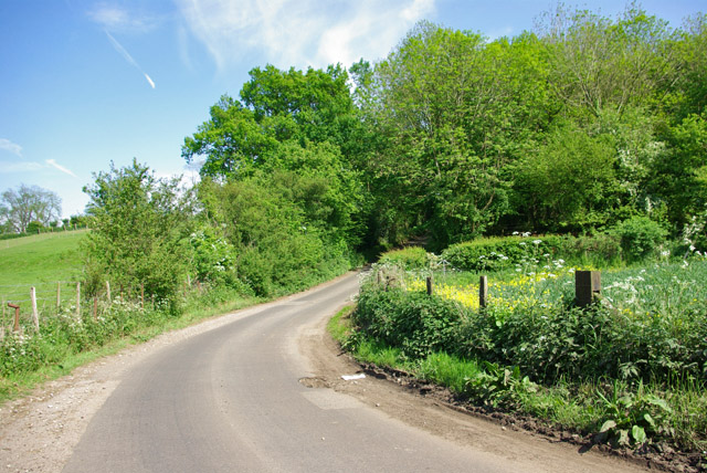
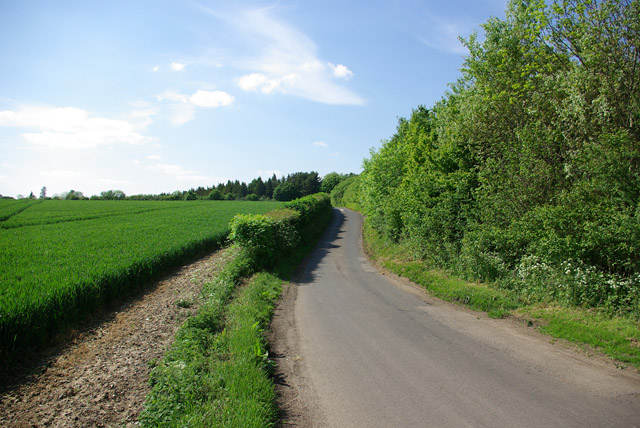
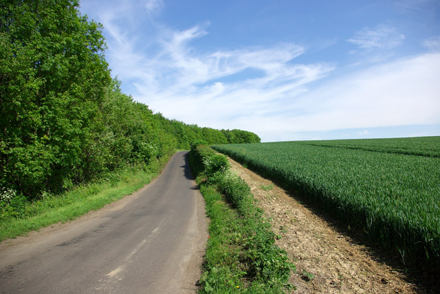
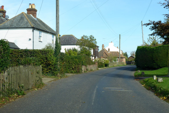
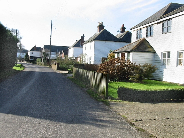
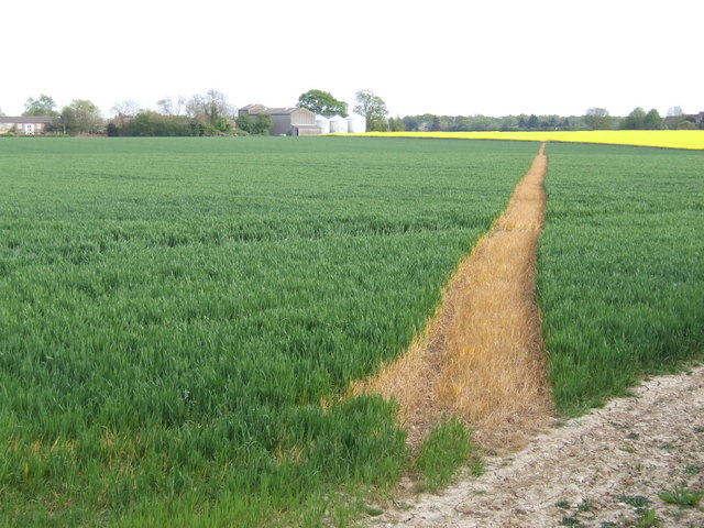
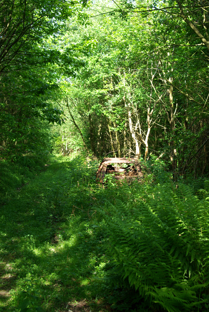
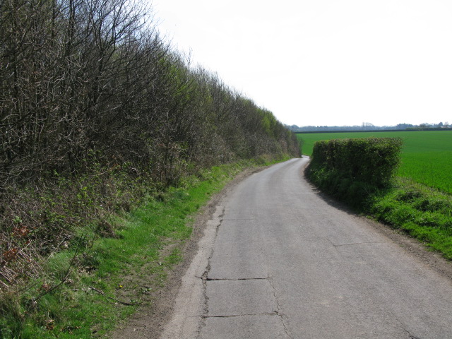
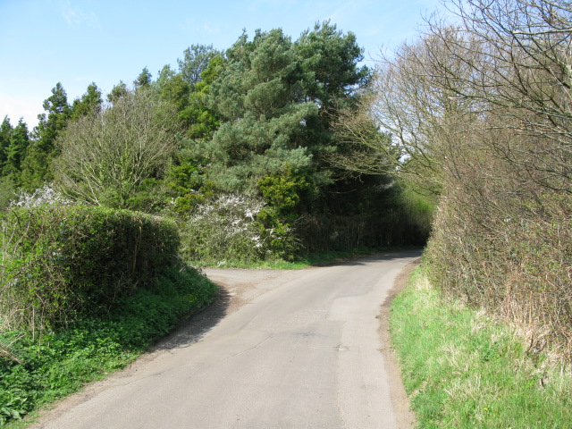
Bowhill Shaw, located in Kent, is a picturesque woodland area renowned for its natural beauty and rich biodiversity. Spanning approximately 200 acres, it is a popular destination for nature enthusiasts, hikers, and photographers.
The woodland comprises a mix of broadleaf and coniferous trees, creating a diverse ecosystem that supports a wide range of flora and fauna. The dominant tree species include oak, beech, and Scots pine, providing a dense canopy that offers shade and shelter to a variety of wildlife.
Bowhill Shaw is home to a plethora of wildlife, including numerous bird species, such as woodpeckers, owls, and warblers, which can be spotted throughout the year. The woodland's ancient trees provide nesting sites for these avian creatures. Additionally, mammals like deer, foxes, and squirrels roam freely within the forest, adding to its natural charm.
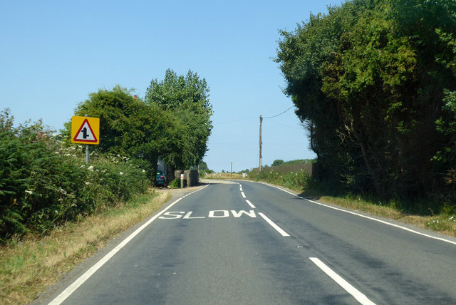
Visitors to Bowhill Shaw can explore its many walking trails, which wind through the woodland, offering stunning views of the surrounding countryside. The peaceful ambience, coupled with the sounds of birdsong and rustling leaves, makes it an ideal place for relaxation and nature appreciation.
The woodland is also of historical significance, with evidence of ancient human activity in the form of prehistoric burial mounds and remnants of Iron Age settlements. These archaeological features contribute to Bowhill Shaw's cultural heritage.
Overall, Bowhill Shaw in Kent is a captivating woodland retreat that offers an immersive experience in nature, providing visitors with a tranquil escape from the bustle of everyday life.
If you have any feedback on the listing, please let us know in the comments section below.
Bowhill Shaw Images
Images are sourced within 2km of 51.216492/1.0736462 or Grid Reference TR1450. Thanks to Geograph Open Source API. All images are credited.


Bowhill Shaw is located at Grid Ref: TR1450 (Lat: 51.216492, Lng: 1.0736462)
Administrative County: Kent
District: Canterbury
Police Authority: Kent
What 3 Words
///damage.winks.shimmered. Near Bridge, Kent
Nearby Locations
Related Wikis

Upper Hardres
Upper Hardres is a village and civil parish in the City of Canterbury, in the district of Kent, England. The name of the Hardres family is perpetuated...

Pett Bottom (Canterbury)
Pett Bottom is a small settlement about five miles (8 km) south of Canterbury, Kent, England. The nearest village is Lower Hardres. It is in the civil...

Bossingham
Bossingham is a large hamlet in the parish of Upper Hardres and the district of the City of Canterbury, Kent, England. It is located about five miles...

Petham
Petham is a rural village and civil parish in the North Downs, five miles south of Canterbury in Kent, South East England. The village church is All Saints...

Lower Hardres
Lower Hardres is a village and former civil parish, now in the parish of Lower Hardres and Nackington, in the City of Canterbury district of Kent, England...

Reed Mill, Kingston
Reed Mill is a tower mill in Kingston, Kent, England that was built in the early nineteenth century and worked until 1915, after which the mill was derelict...

Lynsore Bottom
Lynsore Bottom is a 70.6-hectare (174-acre) biological Site of Special Scientific Interest north of Folkestone in Kent.These coppice with standards woods...

Nackington
Nackington is an English village and former civil parish, now in the parish of Lower Hardres and Nackington, south of Canterbury in the Canterbury district...
Nearby Amenities
Located within 500m of 51.216492,1.0736462Have you been to Bowhill Shaw?
Leave your review of Bowhill Shaw below (or comments, questions and feedback).