Hunt's Wood
Wood, Forest in Kent Canterbury
England
Hunt's Wood

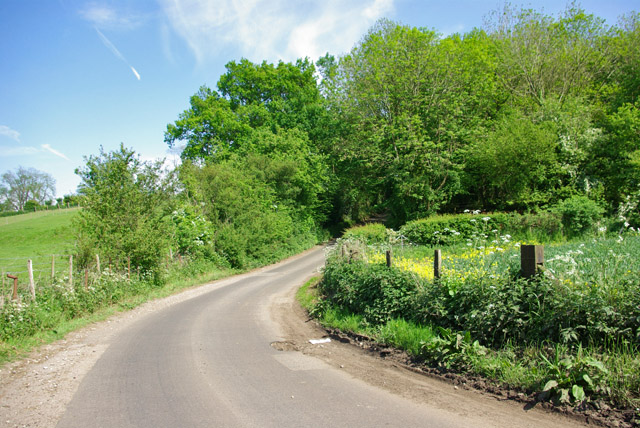
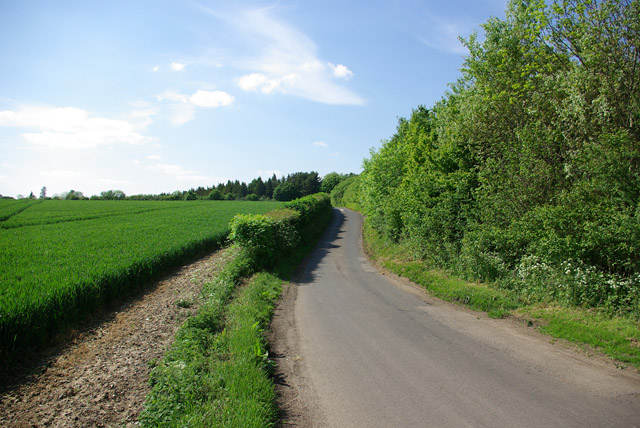
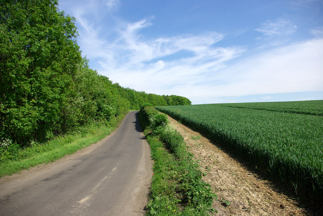
Hunt's Wood is a picturesque woodland located in Kent, England. Stretching over an area of approximately 100 acres, this enchanting forest is a haven for nature lovers and outdoor enthusiasts alike.
The wood is characterized by its dense canopy of towering trees, predominantly consisting of oak, beech, and birch. These majestic trees provide a tranquil and serene ambiance, allowing visitors to immerse themselves in the beauty of nature. The wood is also home to a diverse array of wildlife, including deer, foxes, and a variety of bird species, making it a popular spot for wildlife enthusiasts and birdwatchers.
Hunt's Wood offers a network of well-maintained footpaths, enabling visitors to explore and discover the hidden gems within the forest. Meandering through the wood, these pathways showcase stunning views, secret clearings, and babbling brooks, providing endless opportunities for peaceful walks, picnics, and photography.
The wood is well-preserved and managed, with conservation efforts in place to protect its natural beauty and biodiversity. It is a designated Site of Special Scientific Interest (SSSI), recognized for its importance in preserving the local ecosystem and supporting rare and endangered species.
Throughout the year, Hunt's Wood offers a constantly changing landscape, with vibrant bluebells carpeting the forest floor in spring, lush green foliage in summer, and a stunning array of warm hues in autumn. This makes it an ideal place for nature enthusiasts to witness the beauty of the changing seasons.
Overall, Hunt's Wood in Kent is a captivating forest that offers a tranquil escape from the hustle and bustle of everyday life. Its natural beauty, wildlife, and well-maintained trails make it a must-visit destination for those seeking a serene and immersive woodland experience.
If you have any feedback on the listing, please let us know in the comments section below.
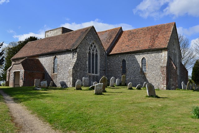
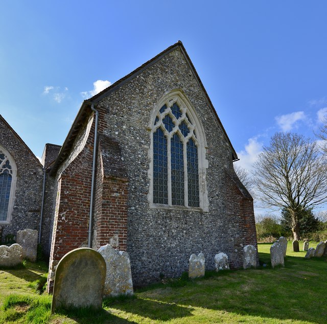
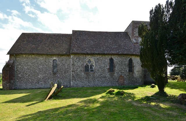
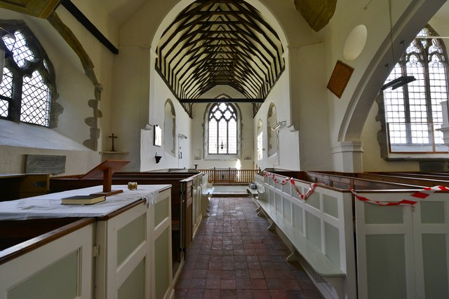
Hunt's Wood Images
Images are sourced within 2km of 51.209013/1.0731049 or Grid Reference TR1450. Thanks to Geograph Open Source API. All images are credited.


Hunt's Wood is located at Grid Ref: TR1450 (Lat: 51.209013, Lng: 1.0731049)
Administrative County: Kent
District: Canterbury
Police Authority: Kent
What 3 Words
///composts.splits.void. Near Bridge, Kent
Nearby Locations
Related Wikis

Upper Hardres
Upper Hardres is a village and civil parish in the City of Canterbury, in the district of Kent, England. The name of the Hardres family is perpetuated...

Bossingham
Bossingham is a large hamlet in the parish of Upper Hardres and the district of the City of Canterbury, Kent, England. It is located about five miles...

Petham
Petham is a rural village and civil parish in the North Downs, five miles south of Canterbury in Kent, South East England. The village church is All Saints...

Pett Bottom (Canterbury)
Pett Bottom is a small settlement about five miles (8 km) south of Canterbury, Kent, England. The nearest village is Lower Hardres. It is in the civil...

Lynsore Bottom
Lynsore Bottom is a 70.6-hectare (174-acre) biological Site of Special Scientific Interest north of Folkestone in Kent.These coppice with standards woods...

Reed Mill, Kingston
Reed Mill is a tower mill in Kingston, Kent, England that was built in the early nineteenth century and worked until 1915, after which the mill was derelict...

Lower Hardres
Lower Hardres is a village and former civil parish, now in the parish of Lower Hardres and Nackington, in the City of Canterbury district of Kent, England...

Yockletts Bank
Yockletts Bank is a 25.4-hectare (63-acre) biological Site of Special Scientific Interest west of Stelling Minnis in Kent. It is managed by KWT and is...
Have you been to Hunt's Wood?
Leave your review of Hunt's Wood below (or comments, questions and feedback).