Cattshill Wood

Wood, Forest in Kent Canterbury

England

Cattshill Wood

View N along the Stone Street From junction with Lime Kiln Lane.
View N along the Stone Street Credit: Nick Smith

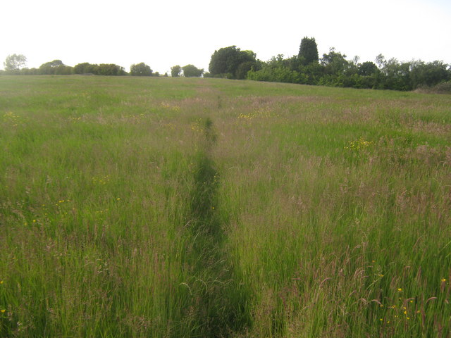
Cattshill Wood, located in Kent, England, is a picturesque forest that covers an area of approximately 100 acres. Nestled in the heart of the Kent countryside, this wood is renowned for its natural beauty, tranquility, and rich biodiversity. It is a popular destination for nature enthusiasts, hikers, and photographers.

The wood is predominantly populated by a variety of broadleaf trees, including oak, beech, ash, and chestnut. These towering trees create a dense canopy that provides shade and shelter to the various flora and fauna that call the wood home. Bluebells, primroses, and wild garlic carpet the forest floor during the spring, creating a stunning display of colors.

Cattshill Wood is also known for its diverse wildlife. The wood is a haven for numerous bird species, such as woodpeckers, jays, and various songbirds. Visitors may also spot various mammals, including foxes, badgers, and deer. The wood’s quiet and secluded nature provides an ideal habitat for these creatures.

Visitors can explore the wood through a network of well-maintained footpaths that wind their way through the trees. These paths lead to scenic viewpoints, hidden clearings, and peaceful picnic spots. The wood is also home to a small pond, providing a tranquil spot for reflection.

Cattshill Wood offers a retreat from the hustle and bustle of everyday life, allowing visitors to reconnect with nature and enjoy the serenity of the forest. Whether it's a leisurely stroll, a family picnic, or birdwatching, Cattshill Wood provides an idyllic setting for outdoor activities and appreciation of the natural world.

If you have any feedback on the listing, please let us know in the comments section below.

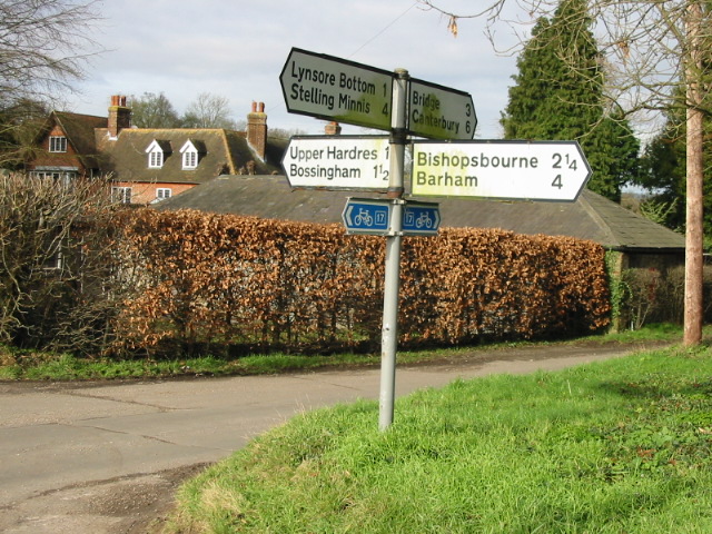
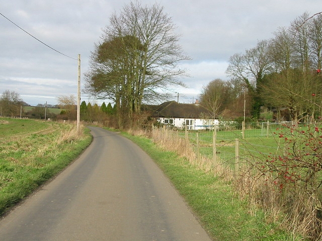
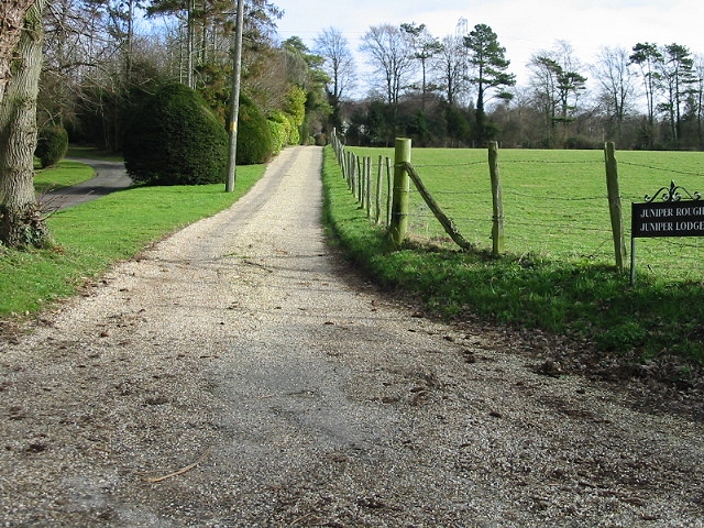
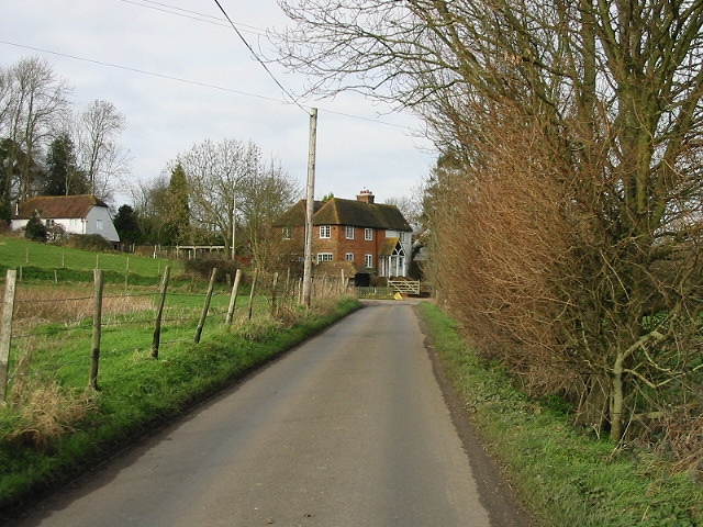
Cattshill Wood Images

Images are sourced within 2km of 51.220225/1.0739523 or Grid Reference TR1451. Thanks to Geograph Open Source API. All images are credited.

View N along the Stone Street From junction with Lime Kiln Lane.
View N along the Stone Street
From junction with Lime Kiln Lane.
Entrance into Upper Hardres Wood
View from Lime Kiln Lane The Roman Road, the Stone Street, follows the line of hedgerow to the left of the field.
View from Lime Kiln Lane
The Roman Road, the Stone Street, follows the line of hedgerow to the left of the field.
Footpath towards Petham This long footpath leads from the B2068 Stone Street heading towards Church Lane.
Footpath towards Petham
This long footpath leads from the B2068 Stone Street heading towards Church Lane.
Dane Chantry Originally called Deppdene. Dom William Gracian who was the founder of the
Poor Priests Hospital in Canterbury founded a chantry chapel here in the 15th Century. Now a Grade II listed building.
See <span class="nowrap"><a title="http://www.britishlistedbuildings.co.uk/en-171387-dane-chantry-petham" rel="nofollow ugc noopener" href="http://www.britishlistedbuildings.co.uk/en-171387-dane-chantry-petham">Link</a><img style="margin-left:2px;" alt="External link" title="External link - shift click to open in new window" src="https://s1.geograph.org.uk/img/external.png" width="10" height="10"/></span> for more details.
Dane Chantry
Originally called Deppdene. Dom William Gracian who was the founder of the Poor Priests Hospital in Canterbury founded a chantry chapel here in the 15th Century. Now a Grade II listed building. See LinkExternal link for more details.
Valley near Upper Hardres Wood Looking northwards from the permissive path.
Upper Hardres Wood is on the left.
Valley near Upper Hardres Wood
Looking northwards from the permissive path. Upper Hardres Wood is on the left.
Permissive bridleway  past Upper Hardres Wood A permissive bridleway leads around this large wood near Bossingham heading towards Hogg Lane and Stone Street.

See <span class="nowrap"><a title="http://cwr.naturalengland.org.uk/Default.aspx?Module=CountryWalkDetails&Site=4241" rel="nofollow ugc noopener" href="http://cwr.naturalengland.org.uk/Default.aspx?Module=CountryWalkDetails&Site=4241">Link</a><img style="margin-left:2px;" alt="External link" title="External link - shift click to open in new window" src="https://s1.geograph.org.uk/img/external.png" width="10" height="10"/></span> for more details about the path.
Permissive bridleway past Upper Hardres Wood
A permissive bridleway leads around this large wood near Bossingham heading towards Hogg Lane and Stone Street. See LinkExternal link for more details about the path.
Permissive bridleway past Upper Hardres Wood (2) A permissive bridleway leads around this large wood near Bossingham heading towards Hogg Lane and Stone Street.

See <span class="nowrap"><a title="http://cwr.naturalengland.org.uk/Default.aspx?Module=CountryWalkDetails&Site=4241" rel="nofollow ugc noopener" href="http://cwr.naturalengland.org.uk/Default.aspx?Module=CountryWalkDetails&Site=4241">Link</a><img style="margin-left:2px;" alt="External link" title="External link - shift click to open in new window" src="https://s1.geograph.org.uk/img/external.png" width="10" height="10"/></span> for more details about the route.
Permissive bridleway past Upper Hardres Wood (2)
A permissive bridleway leads around this large wood near Bossingham heading towards Hogg Lane and Stone Street. See LinkExternal link for more details about the route.
Permissive Path to Bossingham A permissive bridleway leads around the large wood of Upper Hardres Wood heading from Hogg Lane and Stone Street towards Lime Kiln Lane, Bossingham.

See <span class="nowrap"><a title="http://cwr.naturalengland.org.uk/Default.aspx?Module=CountryWalkDetails&Site=4241" rel="nofollow ugc noopener" href="http://cwr.naturalengland.org.uk/Default.aspx?Module=CountryWalkDetails&Site=4241">Link</a><img style="margin-left:2px;" alt="External link" title="External link - shift click to open in new window" src="https://s1.geograph.org.uk/img/external.png" width="10" height="10"/></span> for more details on the route.
Permissive Path to Bossingham
A permissive bridleway leads around the large wood of Upper Hardres Wood heading from Hogg Lane and Stone Street towards Lime Kiln Lane, Bossingham. See LinkExternal link for more details on the route.
Church at Upper Hardres Court St. Peter & St. Paul church is a typical Kent flint church which in this case, is set on a very sharp corner in the road in rather a delightful setting.  It is a lovely little Church with its square tower unusually offset from the main nave.
Church at Upper Hardres Court
St. Peter & St. Paul church is a typical Kent flint church which in this case, is set on a very sharp corner in the road in rather a delightful setting. It is a lovely little Church with its square tower unusually offset from the main nave.
Looking W towards Pett Bottom from Woodgate.
Gated track off Woodgate.
Grazing cattle from Woodgate.
Junction of Bursted Hill, Woodgate and Pett Bottom roads.
Bursted Manor and finger post at Pett Bottom.
View looking N along Pett Bottom.
Private road leading to Juniper Rough and Lodge
Peaceful Retreat Farm at junction of Broxhall and Pett Bottom roads.
Show me another place!

Cattshill Wood is located at Grid Ref: TR1451 (Lat: 51.220225, Lng: 1.0739523)

Administrative County: Kent

District: Canterbury

Police Authority: Kent

What 3 Words

///overpaid.fortified.classics. Near Bridge, Kent

Related Wikis

Upper Hardres

Upper Hardres is a village and civil parish in the City of Canterbury, in the district of Kent, England. The name of the Hardres family is perpetuated...

Pett Bottom (Canterbury)

Pett Bottom is a small settlement about five miles (8 km) south of Canterbury, Kent, England. The nearest village is Lower Hardres. It is in the civil...

Lower Hardres

Lower Hardres is a village and former civil parish, now in the parish of Lower Hardres and Nackington, in the City of Canterbury district of Kent, England...

Petham

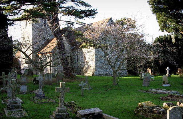
Petham is a rural village and civil parish in the North Downs, five miles south of Canterbury in Kent, South East England. The village church is All Saints...

Bossingham

Bossingham is a village in the parish of Upper Hardres and the district of the City of Canterbury, Kent, England. It is located about five miles (8 km...

Reed Mill, Kingston

Reed Mill is a tower mill in Kingston, Kent, England that was built in the early nineteenth century and worked until 1915, after which the mill was derelict...

Nackington

Nackington is an English village and former civil parish, now in the parish of Lower Hardres and Nackington, south of Canterbury in the Canterbury district...
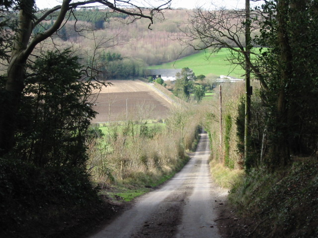
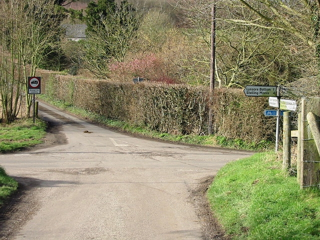
Lynsore Bottom

Lynsore Bottom is a 70.6-hectare (174-acre) biological Site of Special Scientific Interest north of Folkestone in Kent.These coppice with standards woods...

Nearby Amenities

Located within 500m of 51.220225,1.0739523
Power: pole
Lat/Long: 51.2169867/1.0708087
Power: pole
Lat/Long: 51.2166232/1.0744087
Power: pole
Lat/Long: 51.2164285/1.0762739
Power: pole
Lat/Long: 51.2168178/1.0726053
Power: pole
Lat/Long: 51.2170079/1.0690914
The data included in this document is from www.openstreetmap.org. The data is made available under ODbL.

Have you been to Cattshill Wood?

Leave your review of Cattshill Wood below (or comments, questions and feedback).