Hill Covert
Wood, Forest in Suffolk Babergh
England
Hill Covert
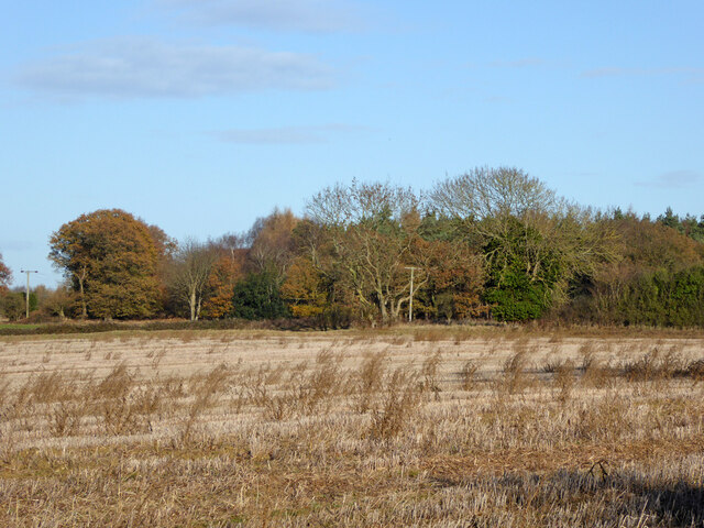
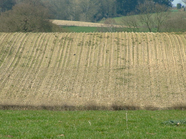
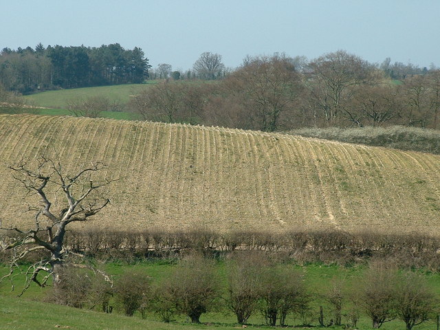
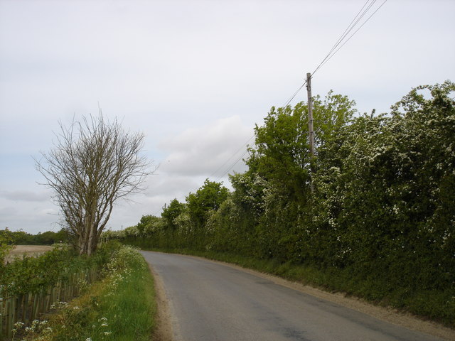
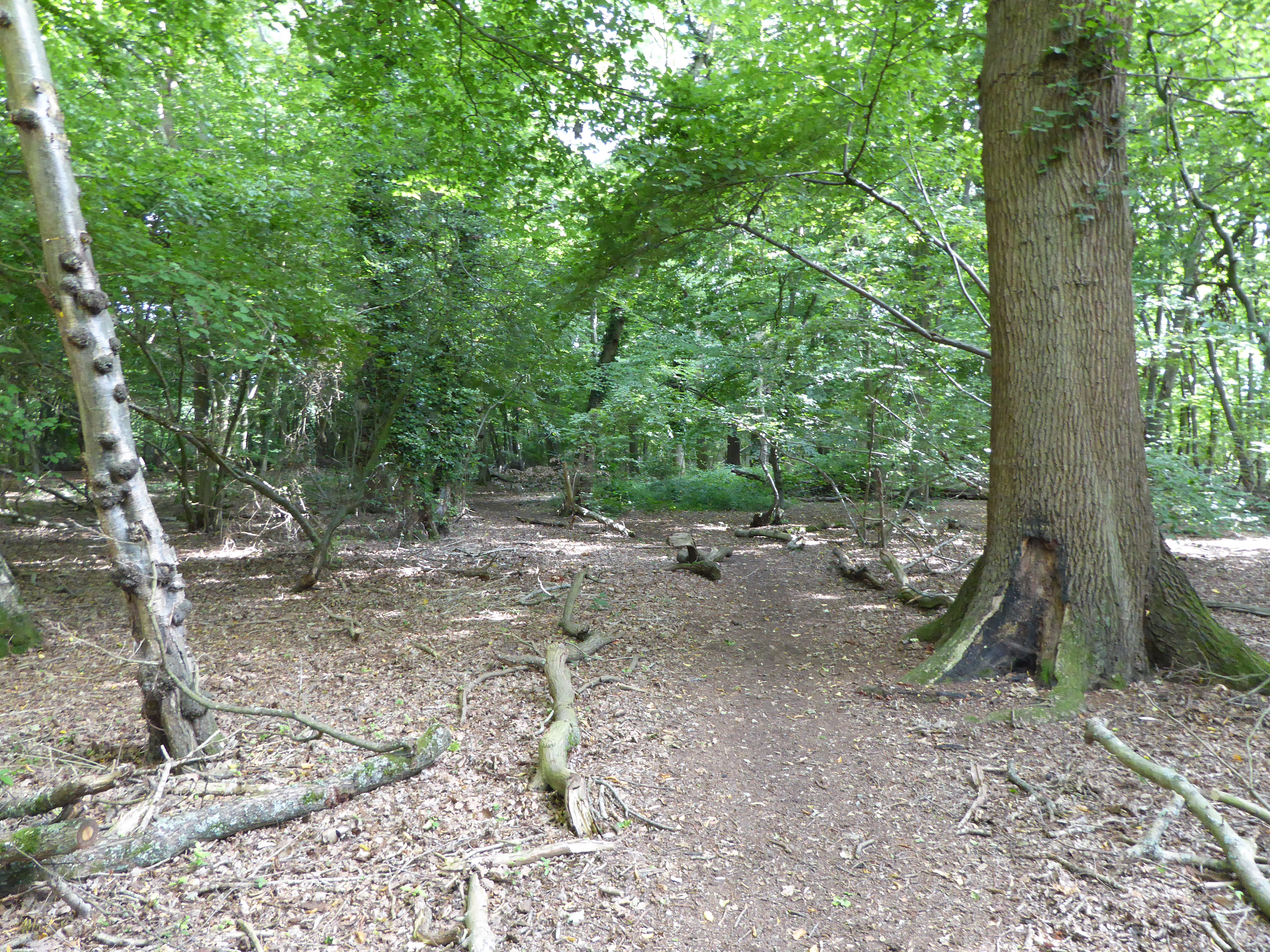
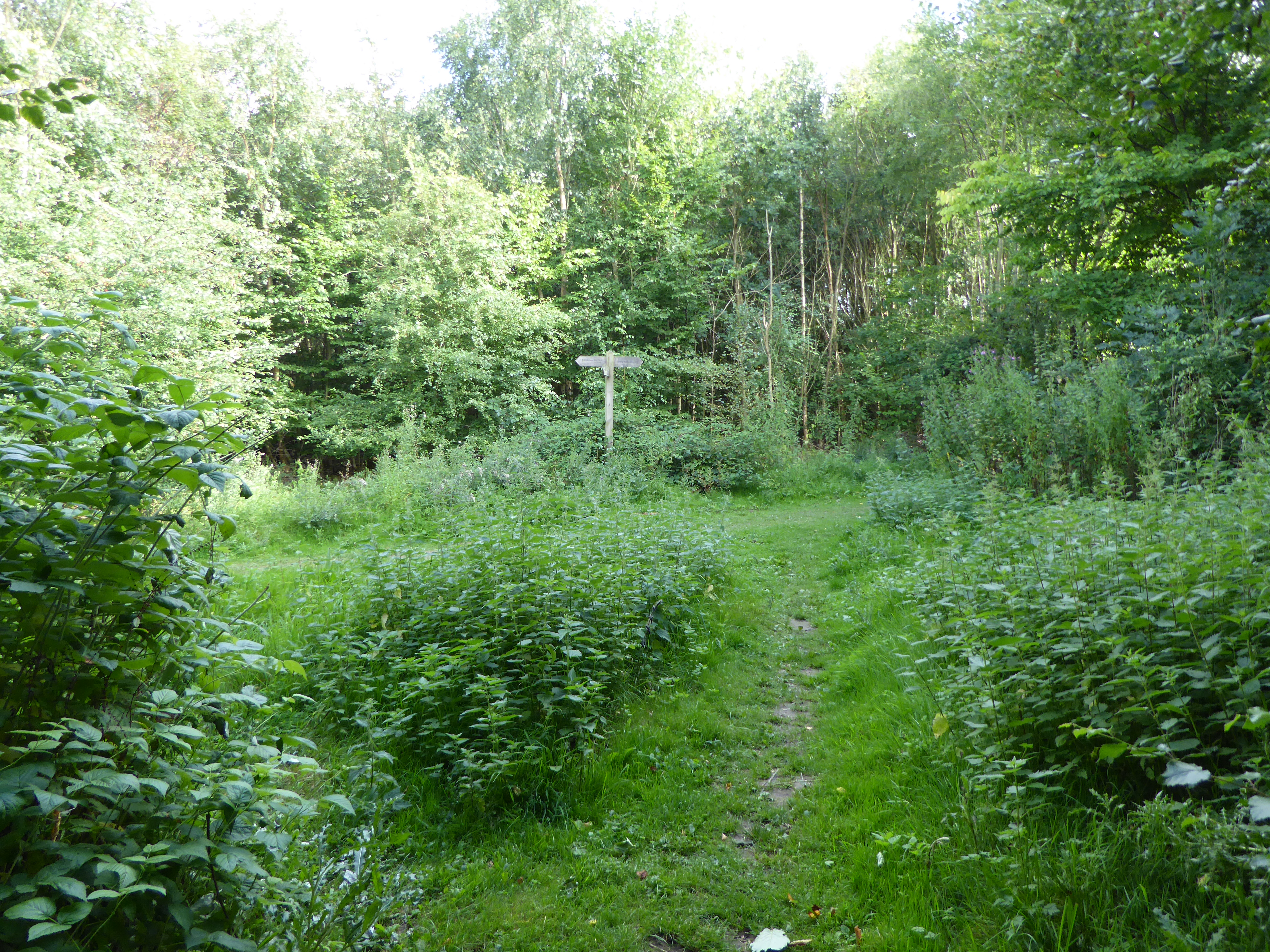
Hill Covert, Suffolk, also known as Wood or Forest, is a picturesque area located in the county of Suffolk, England. This rural landscape is encompassed by rolling hills, dense woodlands, and charming countryside, making it an idyllic destination for nature enthusiasts and outdoor adventurers.
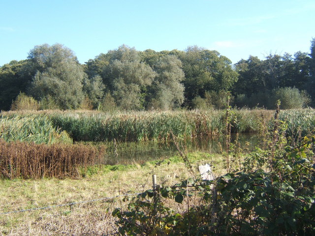
The area is known for its diverse range of flora and fauna, with a rich variety of tree species including oak, beech, and ash. These woodlands provide a haven for wildlife, with sightings of deer, foxes, and a multitude of bird species being common. The forest floor is adorned with vibrant wildflowers during the spring and summer months, creating a stunning natural tapestry.
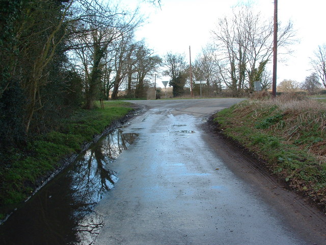
Hill Covert offers ample opportunities for outdoor activities such as hiking, cycling, and wildlife spotting. There are numerous well-marked trails that meander through the forest, allowing visitors to explore the area's natural beauty at their own pace. The peaceful surroundings make it an ideal spot for picnicking or simply immersing oneself in the tranquility of nature.
The area is also steeped in history, with remnants of ancient settlements and archaeological sites dotting the countryside. Local folklore and legends add an air of mystique to the region, captivating visitors with tales of mythical creatures and hidden treasures.
Hill Covert, Suffolk (Wood, Forest) is a hidden gem that offers a peaceful retreat from the hustle and bustle of modern life. Its natural beauty, abundant wildlife, and historical significance make it a must-visit destination for those seeking a connection with nature and a glimpse into the region's past.
If you have any feedback on the listing, please let us know in the comments section below.
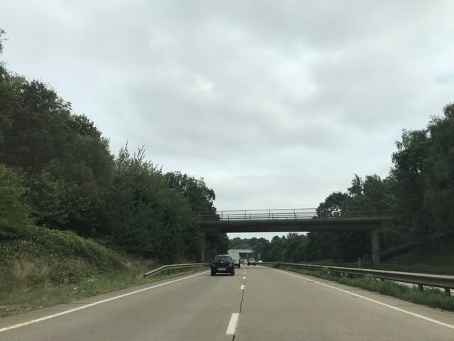
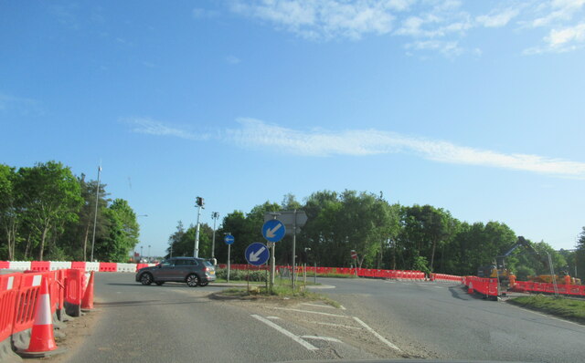
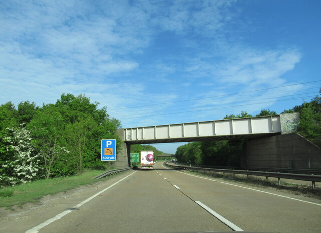
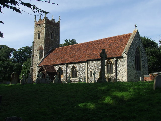
Hill Covert Images
Images are sourced within 2km of 52.020402/1.1277285 or Grid Reference TM1440. Thanks to Geograph Open Source API. All images are credited.


Hill Covert is located at Grid Ref: TM1440 (Lat: 52.020402, Lng: 1.1277285)
Administrative County: Suffolk
District: Babergh
Police Authority: Suffolk
What 3 Words
///confirms.classics.rainwater. Near Holbrook, Suffolk
Nearby Locations
Related Wikis

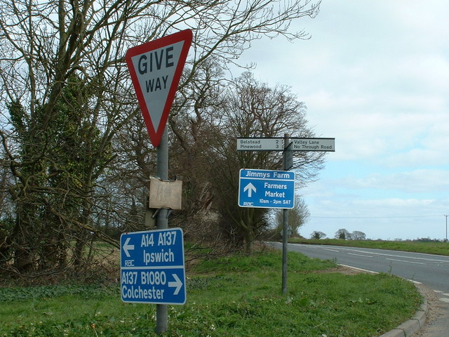
Jimmy's Farm
Jimmy's Farm is a British television series set in a working rare-breed farm, tourist destination and wedding venue in Wherstead, Suffolk. The series is...
Wherstead
Wherstead is a village and a civil parish located in the county of Suffolk, England. Wherstead village lies 3 miles (4.8 km) south of Ipswich on the Shotley...

Bobbitshole, Belstead
Bobbitshole is a 1.7-hectare (4.2-acre) geological Site of Special Scientific Interest in Belstead, on the southern outskirts of Ipswich in Suffolk. It...
Spring Wood, Belstead
Spring Wood is a 5.5 hectare Local Nature Reserve east of Belstead, on the southern outskirts of Ipswich in Suffolk. It is owned and managed by Ipswich...
Millennium Wood, Ipswich
Millennium Wood is a 3.8 hectare Local Nature Reserve on the southern outskirts of Ipswich in Suffolk. It is owned by Suffolk County Council and managed...
Bobbits Lane
Bobbits Lane is a 16.1 hectares (40 acres) Local Nature Reserve in Ipswich in Suffolk. It is owned by Ipswich Borough Council and managed by the Greenways...
Wherstead Park
Wherstead Park Mansion in Suffolk is a house of historical significance and is listed on the English Heritage Register. It was built in 1792 for Sir Robert...

Freston and Cutler's Woods with Holbrook Park
Freston and Cutler's Woods with Holbrook Park is a 142 hectare biological Site of Special Scientific Interest south of Ipswich in Suffolk. The site is...
Nearby Amenities
Located within 500m of 52.020402,1.1277285Have you been to Hill Covert?
Leave your review of Hill Covert below (or comments, questions and feedback).