Broomhaughton Covert

Wood, Forest in Suffolk Babergh

England

Broomhaughton Covert

Road Junction Junction of minor road with A137 near to Wherstead Suffolk.
Road Junction Credit: Keith Evans

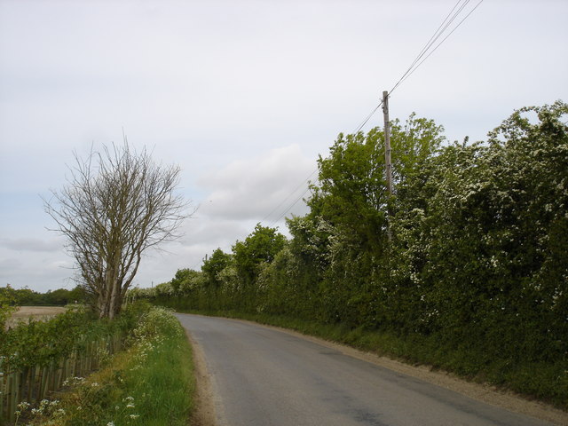
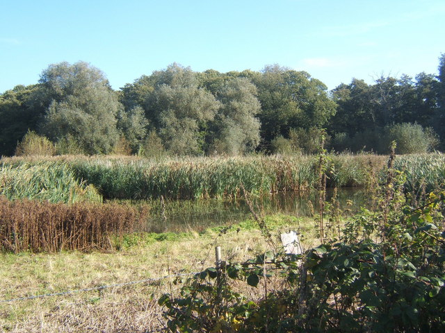
Broomhaughton Covert is a picturesque wood located in Suffolk, England. Nestled amidst rolling countryside, this enchanting forest covers an area of approximately 100 acres, making it a significant natural asset to the region. The covert is situated near the village of Broomhaughton, providing locals and visitors alike with a tranquil escape from the hustle and bustle of everyday life.

The woodland is predominantly composed of ancient oak and beech trees, which have stood tall for centuries, creating a majestic canopy that filters sunlight through the leaves. This creates a dappled effect on the forest floor, where an array of native flora thrives. Bluebells, wild garlic, and primroses are just a few of the vibrant species that carpet the forest during the spring months, painting a beautiful tapestry of colors.

Broomhaughton Covert is also home to a diverse range of fauna. Deer, foxes, and badgers can often be spotted roaming the forest, while a variety of bird species flit between the trees, including woodpeckers and tawny owls. The tranquility of the woodland provides a perfect habitat for these creatures, creating a harmonious ecosystem that is a joy to witness.

The covert is a popular destination for nature enthusiasts, walkers, and photographers who come to immerse themselves in its natural beauty. A network of well-maintained trails weaves through the forest, allowing visitors to explore its hidden nooks and crannies. The peaceful atmosphere and stunning scenery make Broomhaughton Covert an ideal place for leisurely strolls, picnics, and nature-watching.

In summary, Broomhaughton Covert in Suffolk is a captivating woodland that offers a haven of natural beauty and tranquility. With its ancient trees, vibrant flora, and diverse wildlife, it provides a truly enchanting experience for all who venture into its midst.

If you have any feedback on the listing, please let us know in the comments section below.

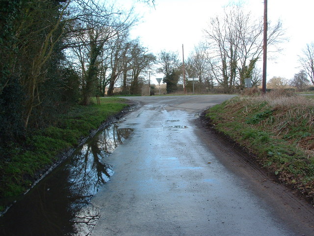
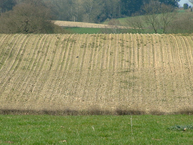
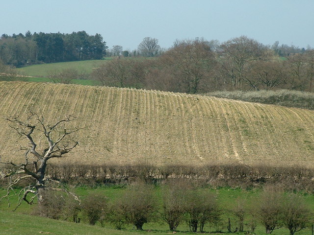
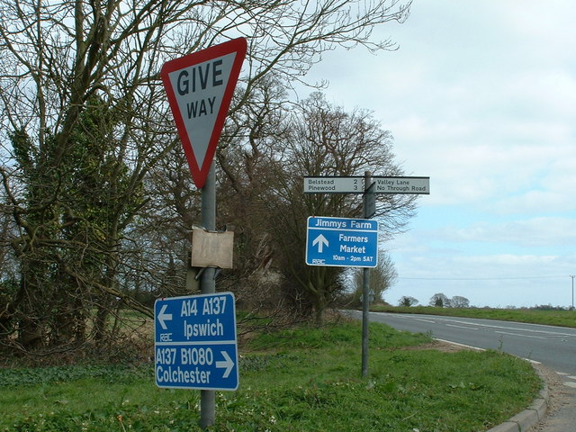
Broomhaughton Covert Images

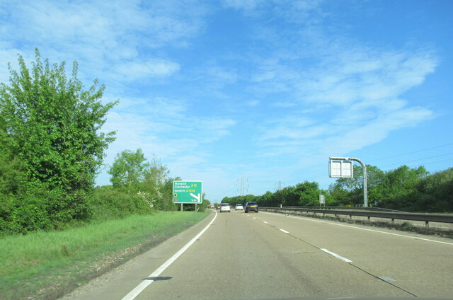
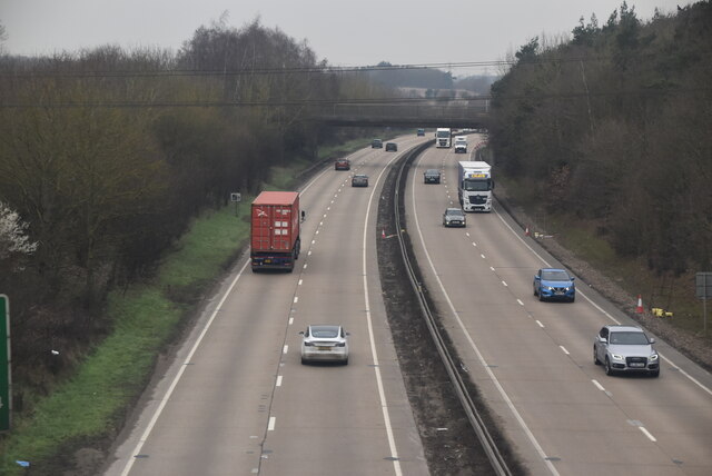
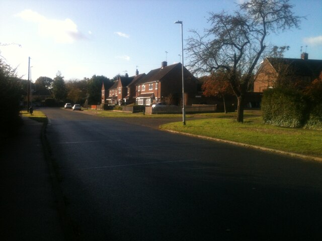
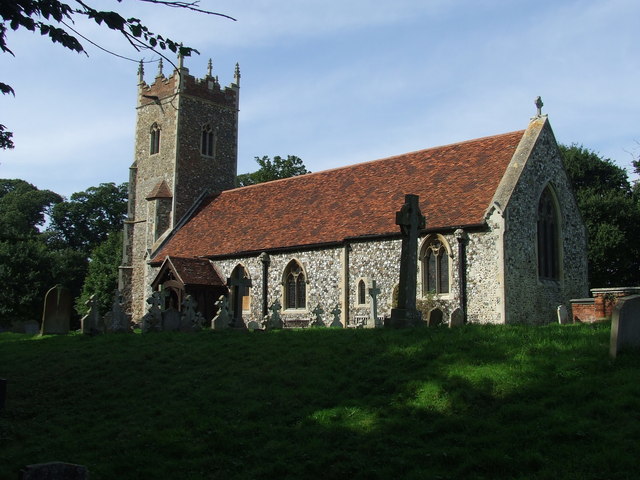
Images are sourced within 2km of 52.023129/1.1317239 or Grid Reference TM1440. Thanks to Geograph Open Source API. All images are credited.

Road Junction Junction of minor road with A137 near to Wherstead Suffolk.
Road Junction
Junction of minor road with A137 near to Wherstead Suffolk.
Distant Field View of distant field near to Freston, Suffolk.
Distant Field
View of distant field near to Freston, Suffolk.
Distant Field And Dead Tree View of distant field and dead tree near to Freston, Suffolk.
Distant Field And Dead Tree
View of distant field and dead tree near to Freston, Suffolk.
Fields And Business Units Open fields trees and the building on the right is Alton Business Centre near to Wherstead Suffolk. For view of business centre see <a title="https://www.geograph.org.uk/photo/384176" href="https://www.geograph.org.uk/photo/384176">Link</a>
Fields And Business Units
Open fields trees and the building on the right is Alton Business Centre near to Wherstead Suffolk. For view of business centre see Link
Alton Business Centre Alton Business centre former farm buildings of Valley Farm near to Wherstead Suffolk.
Alton Business Centre
Alton Business centre former farm buildings of Valley Farm near to Wherstead Suffolk.
Distant View The white dot in the distance on the field is someone over a third of a mile away we had just crossed from the same point over the very dry and dusty unmarked footpath. Near to Whearstead Suffolk.
Distant View
The white dot in the distance on the field is someone over a third of a mile away we had just crossed from the same point over the very dry and dusty unmarked footpath. Near to Whearstead Suffolk.
Four Trees Four trees in a field near to Blacksmiths Corner Belstead Suffolk.
Four Trees
Four trees in a field near to Blacksmiths Corner Belstead Suffolk.
Easter Pigs Road signs for Jimmys Farm. At special events he operates a one way system entrance is off the A137 and visitors leave by a back road hence the directions to Ipswich and Colchester. See <span class="nowrap"><a title="http://www.essexpigcompany.com/" rel="nofollow ugc noopener" href="http://www.essexpigcompany.com/">Link</a><img style="margin-left:2px;" alt="External link" title="External link - shift click to open in new window" src="https://s1.geograph.org.uk/img/external.png" width="10" height="10"/></span> for his web site.
Easter Pigs
Road signs for Jimmys Farm. At special events he operates a one way system entrance is off the A137 and visitors leave by a back road hence the directions to Ipswich and Colchester. See LinkExternal link for his web site.
Alton Business Centre
Valley Lane
Valley Lane
The road to Belstead
A137 traffic island at junction for A14
Railway bridge over the A14 westbound near Ipswich
A14 westbound near Ipswich
A14 westbound approaching junction 55
A14 The A14 is a major road running 127 miles from Felixstowe to the Catthorpe Interchange, the junction of the M1 and M6 motorways near Rugby. The road connects East Anglia with the West Midlands and The North.
Wikipedia: <span class="nowrap"><a title="http://en.wikipedia.org/wiki/A14_road_(England)" rel="nofollow ugc noopener" href="http://en.wikipedia.org/wiki/A14_road_(England)">Link</a><img style="margin-left:2px;" alt="External link" title="External link - shift click to open in new window" src="https://s1.geograph.org.uk/img/external.png" width="10" height="10"/></span>
A14
The A14 is a major road running 127 miles from Felixstowe to the Catthorpe Interchange, the junction of the M1 and M6 motorways near Rugby. The road connects East Anglia with the West Midlands and The North. Wikipedia: LinkExternal link
Montgomery Road The view of Montgomery Road at the corner with Tenby Road, the road to the right at the lamppost.
Montgomery Road
The view of Montgomery Road at the corner with Tenby Road, the road to the right at the lamppost.
Looking towards Holbrook Park Looking over farmland to the western boundary of the woods of Holbrook Park.
Looking towards Holbrook Park
Looking over farmland to the western boundary of the woods of Holbrook Park.
Show me another place!

Broomhaughton Covert is located at Grid Ref: TM1440 (Lat: 52.023129, Lng: 1.1317239)

Administrative County: Suffolk

District: Babergh

Police Authority: Suffolk

What 3 Words

///riverbed.follow.drifting. Near Ipswich, Suffolk

Related Wikis

Wherstead

Wherstead is a village and a civil parish located in the county of Suffolk, England. Wherstead village lies 3 miles (4.8 km) south of Ipswich on the Shotley...

Jimmy's Farm

Jimmy's Farm is a British television series set in a working rare-breed farm, tourist destination and wedding venue in Wherstead, Suffolk. The series is...

Bobbitshole, Belstead

Bobbitshole is a 1.7-hectare (4.2-acre) geological Site of Special Scientific Interest in Belstead, on the southern outskirts of Ipswich in Suffolk. It...

Bobbits Lane

Bobbits Lane is a 16.1 hectares (40 acres) Local Nature Reserve in Ipswich in Suffolk. It is owned by Ipswich Borough Council and managed by the Greenways...

Nearby Amenities

Located within 500m of 52.023129,1.1317239
Motorway Junction
Wherstead Interchange
Ref: 56
Lat/Long: 52.0249667/1.1331638
Bus Stop
The Street
Local Ref: adj
Naptan AtcoCode: 390010536
Naptan Bearing: S
Naptan CommonName: The Street
Naptan Landmark: The Street
Naptan NaptanCode: sufagmwj
Naptan Street: A137
Naptan Verified: no
Public Transport: platform
Source: naptan_import
Lat/Long: 52.0226182/1.1384019
Bus Stop
The Street
Local Ref: opp
Naptan AtcoCode: 390010537
Naptan Bearing: N
Naptan CommonName: The Street
Naptan Landmark: The Street
Naptan NaptanCode: sufagmwm
Naptan Street: A137
Naptan Verified: no
Public Transport: platform
Source: naptan_import
Lat/Long: 52.0226516/1.1381896
Power: pole
Lat/Long: 52.024883/1.1256728
Power: pole
Lat/Long: 52.0272459/1.130708
Power: pole
Lat/Long: 52.0253909/1.1272734
Power: pole
Lat/Long: 52.0263398/1.1290383
Post Box
Brand: Royal Mail
Brand Wikidata: Q638098
Mapillary: 1192052367886240
Operator: Royal Mail
Operator Type: private
Operator Wikidata: Q638098
Post Box Mounting: concrete_post
Post Box Type: lamp
Ref: IP9 1015
Royal Cypher: EIIR
Royal Cypher Wikidata: Q33102113
Survey Date: 2021-05-30
Lat/Long: 52.0225933/1.1389549
Animal: pigs
Lat/Long: 52.0201526/1.1288262
Attraction: animal
Species: butterfly
Lat/Long: 52.0215455/1.1256075
Animal: pig
Lat/Long: 52.0191192/1.1289388
Tourism: picnic_site
Lat/Long: 52.0207281/1.1257584
Tourism: picnic_site
Lat/Long: 52.0209908/1.1257091
Tourism: picnic_site
Lat/Long: 52.0219341/1.1258839
Tourism: picnic_site
Lat/Long: 52.0221022/1.1259539
Restaurant
Jimmy's Restaurant
Addr City: Ipswich
Addr Postcode: IP9 2AR
Addr Street: Pannington Hall Lane
Website: https://jimmysfarm.com/
Lat/Long: 52.020957/1.1257681
Restaurant
Jimmy's Restaurant
Addr City: Ipswich
Addr Postcode: IP9 2AR
Addr Street: Pannington Hall Lane
Website: https://jimmysfarm.com/
Lat/Long: 52.02215/1.1263283
The data included in this document is from www.openstreetmap.org. The data is made available under ODbL.

Have you been to Broomhaughton Covert?

Leave your review of Broomhaughton Covert below (or comments, questions and feedback).