Ash Plantation
Wood, Forest in Kent Canterbury
England
Ash Plantation
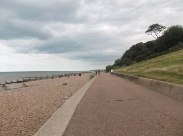
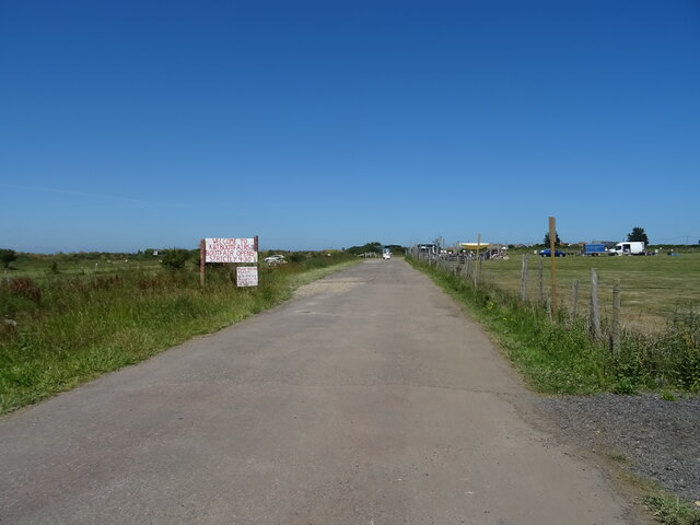
Ash Plantation is a picturesque woodland located in Kent, England. Covering an area of approximately 100 acres, the plantation is known for its dense growth of ash trees, which give it its name. The woodland is part of the wider Blean Woods complex, one of the largest areas of ancient woodland in the country.
The plantation boasts a rich biodiversity, with a variety of flora and fauna thriving within its boundaries. The canopy of ash trees creates a cool and tranquil atmosphere, providing a habitat for numerous bird species, including woodpeckers, owls, and thrushes. Visitors to Ash Plantation may also spot mammals such as deer, foxes, and badgers, as well as a range of woodland insects and butterflies.
The woodland is a popular destination for nature enthusiasts and hikers, offering a network of well-maintained trails that wind through the trees. These trails provide opportunities for leisurely walks, birdwatching, and photography, with designated viewpoints offering stunning vistas of the surrounding countryside.
Ash Plantation is managed by the local forestry commission, which ensures the preservation of the woodland's natural beauty while also providing access and amenities for visitors. The plantation is equipped with picnic areas, benches, and information boards, making it an ideal spot for a family day out or a peaceful retreat into nature.
Overall, Ash Plantation in Kent is a charming woodland that offers a serene escape from the hustle and bustle of everyday life, providing a haven for wildlife and a delightful experience for visitors.
If you have any feedback on the listing, please let us know in the comments section below.
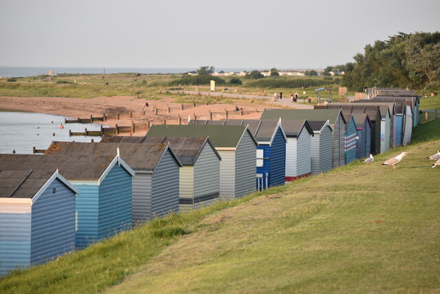
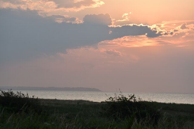
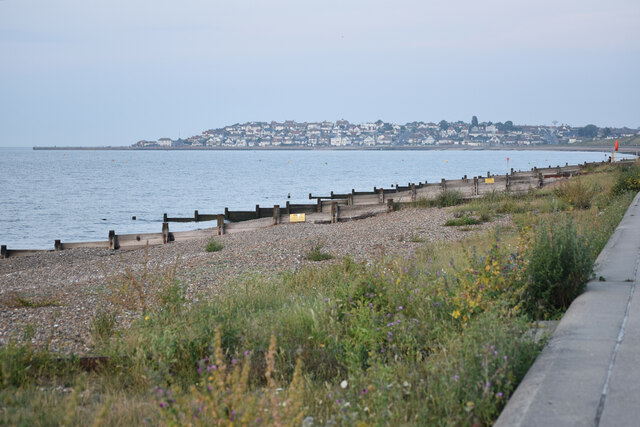
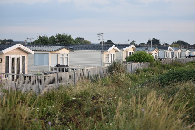
Ash Plantation Images
Images are sourced within 2km of 51.3539/1.0822652 or Grid Reference TR1466. Thanks to Geograph Open Source API. All images are credited.
Ash Plantation is located at Grid Ref: TR1466 (Lat: 51.3539, Lng: 1.0822652)
Administrative County: Kent
District: Canterbury
Police Authority: Kent
What 3 Words
///margin.labels.darker. Near Tankerton, Kent
Nearby Locations
Related Wikis

Chestfield
Chestfield is a village (and civil parish and with Swalecliffe a district council ward) in the Canterbury District of Kent, England. The parish is centred...

Chestfield & Swalecliffe railway station
Chestfield and Swalecliffe railway station is on the Ramsgate branch of the Chatham Main Line in England, serving the villages of Chestfield, Swalecliffe...

Swalecliffe
Swalecliffe is a part of the ribbon development of the north Kent coast between Whitstable and Herne Bay in Southeast England. It forms Swalecliffe ward...

Greenhill, Kent
Greenhill is an outlying suburb of the coastal town of Herne Bay, in Kent in southeast England. The erstwhile Thanet Way, now renumbered as the A2990 road...
Heart Kent
Heart Kent (previously Invicta FM) was an Independent Local Radio station owned and operated by Global Radio as part of the Heart network. It broadcast...

Radfall
Radfall is a hamlet between Whitstable and Canterbury, in southeast England. It lies between the Thanet Way and Thornden Wood, in the Canterbury district...
Hampton, Herne Bay
Hampton is the coastal west end of Herne Bay, Kent, England. Formerly the site of the village of Hampton-on-Sea, the settlement is underwater due to massive...

Hampton-on-Sea
Hampton-on-Sea is a drowned and abandoned village in what is now the Hampton area of Herne Bay, Kent. It grew from a tiny fishing hamlet in 1864 at the...
Nearby Amenities
Located within 500m of 51.3539,1.0822652Have you been to Ash Plantation?
Leave your review of Ash Plantation below (or comments, questions and feedback).