Auchentorlie
Settlement in Renfrewshire
Scotland
Auchentorlie
Auchentorlie is a small village located in the Renfrewshire region of Scotland. Situated just south of the town of Paisley, it is a rural community that offers a peaceful and picturesque setting.
The village is known for its stunning natural surroundings, with rolling hills and lush green landscapes that attract nature enthusiasts and outdoor lovers. The nearby Gryffe Reservoir provides opportunities for fishing and scenic walks, adding to the village's charm.
Auchentorlie has a rich history, with records dating back to the 16th century. The name "Auchentorlie" is derived from the Gaelic words "achadh" meaning field, and "torr" meaning hill. This reflects the area's agricultural past and hilly topography.
Despite its small size, Auchentorlie has a close-knit community that takes pride in its heritage. The village is home to a primary school, which serves the local children, fostering a strong sense of community spirit.
The village is well-connected to nearby towns and cities, making it an attractive place for commuters. The M8 motorway is easily accessible, providing convenient links to Glasgow and other major Scottish cities.
In terms of amenities, Auchentorlie offers limited facilities. However, neighboring towns such as Paisley provide a wide range of services, including shops, supermarkets, restaurants, and recreational facilities.
Overall, Auchentorlie is a tranquil village with a rich history and beautiful natural surroundings. It provides a peaceful retreat from the hustle and bustle of nearby urban areas while still offering convenient access to modern amenities.
If you have any feedback on the listing, please let us know in the comments section below.
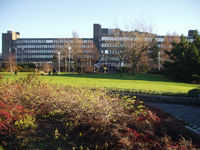
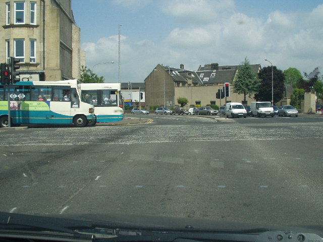
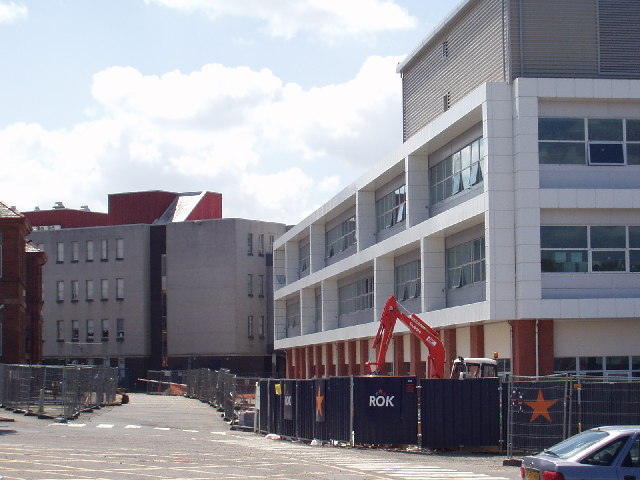
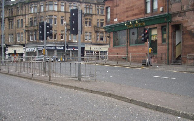
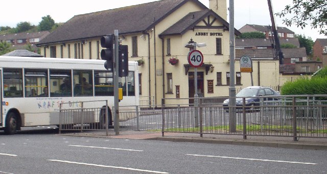
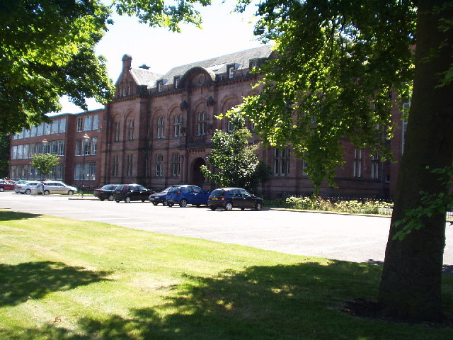
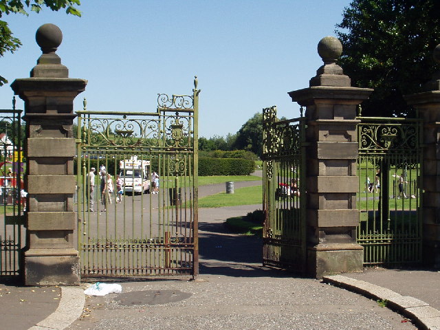
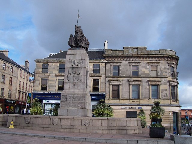
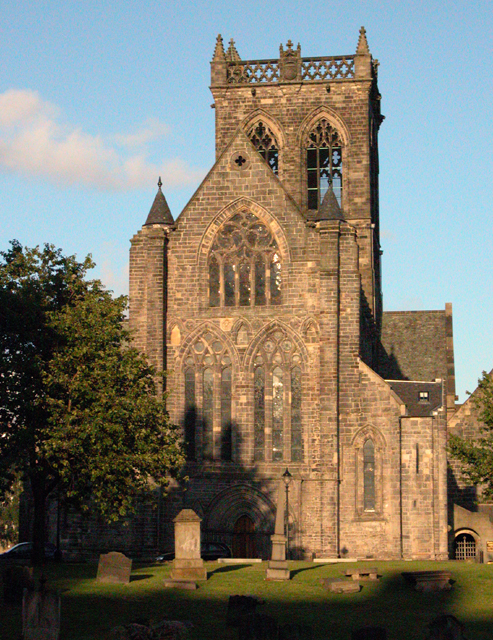
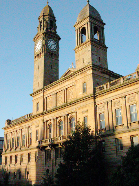
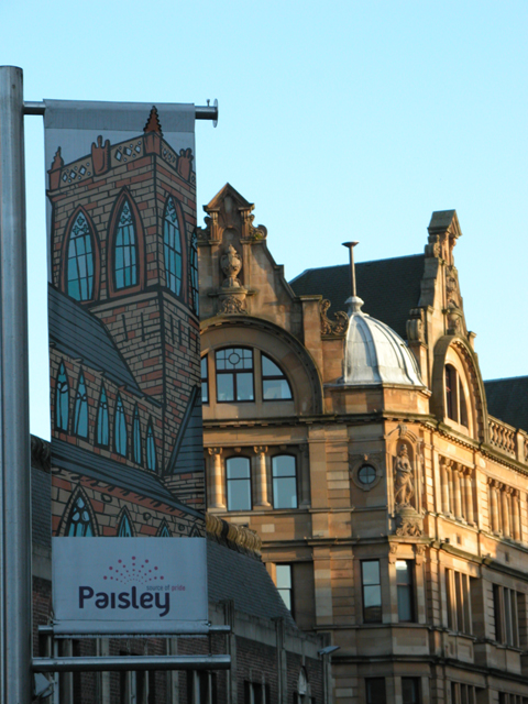
Auchentorlie Images
Images are sourced within 2km of 55.836525/-4.4127163 or Grid Reference NS4963. Thanks to Geograph Open Source API. All images are credited.


Auchentorlie is located at Grid Ref: NS4963 (Lat: 55.836525, Lng: -4.4127163)
Unitary Authority: Renfrewshire
Police Authority: Renfrewshire and Inverclyde
What 3 Words
///kite.makes.ship. Near Paisley, Renfrewshire
Nearby Locations
Related Wikis

Blackhall Manor
Blackhall Manor is a tower house in Paisley in Renfrewshire, in the western central Lowlands of Scotland. It dates to the sixteenth century, although parts...

Charleston, Paisley
Charleston is a district in the burgh of Paisley in Renfrewshire, Scotland. Once a village distinct from Paisley, Charleston has become absorbed as Paisley...

River Cart Aqueduct
The River Cart Aqueduct, sometimes known as the Blackhall Bridge, is a railway bridge and former navigable aqueduct in Paisley, Renfrewshire, Scotland...
Abbey, Renfrewshire
Abbey, or sometimes Abbey Paisley, is a civil parish in Renfrewshire, Scotland traditionally centred on the towns of Paisley and Johnstone and including...

Paisley Canal railway station
Paisley Canal railway station is a railway station in Paisley, Renfrewshire, Scotland. The station is managed by ScotRail and lies on the Paisley Canal...

St Matthew's Church, Paisley
St Matthew's Church in Paisley is notable for its Art Nouveau architecture by WD McLennan, and stained glass window by Robert Anning Bell. The church was...

Laigh Kirk, Paisley
The Laigh Kirk, Paisley was a congregation of the Church of Scotland and the original Burgh church of Paisley. == History == The Laigh Kirk was founded...

Abbey Bridge
Abbey Bridge is grade B listed road-bridge over the White Cart Water in the centre of Paisley in Scotland. It was erected in 1879, widened in 1933, and...
Nearby Amenities
Located within 500m of 55.836525,-4.4127163Have you been to Auchentorlie?
Leave your review of Auchentorlie below (or comments, questions and feedback).