Auchentiber

Settlement in Ayrshire

Scotland

Auchentiber

Farmland near Bloakholmes The picture looks west across grasslands towards the farm at Bloakholmes.
Farmland near Bloakholmes Credit: Alec MacKinnon

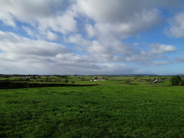
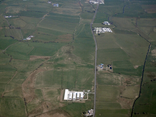
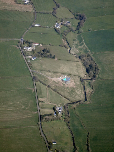
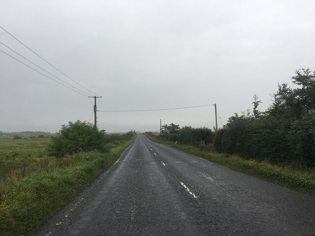
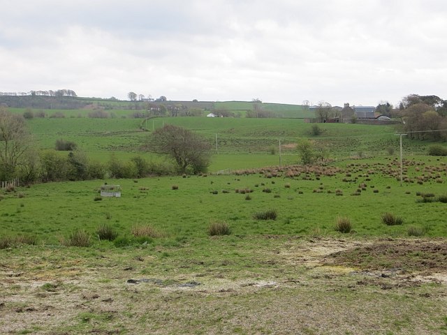
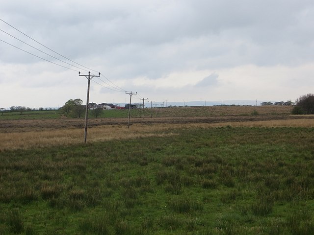
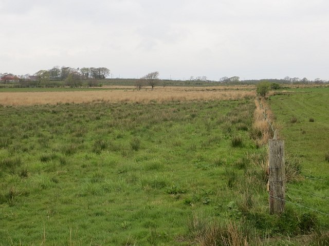
Auchentiber is a small village located in the North Ayrshire council area of Ayrshire, Scotland. Situated approximately 5 miles northeast of Kilwinning and 15 miles northwest of Kilmarnock, Auchentiber is a rural settlement surrounded by picturesque countryside and farmland.

The village is known for its peaceful and close-knit community, offering a tranquil escape from the hustle and bustle of city life. It is primarily a residential area, with a handful of traditional stone houses and cottages that add to its charm. The village is well-connected to nearby towns and cities through a network of roads and public transport links.

Although Auchentiber is a small village, it boasts a strong sense of community spirit and plays host to various social events throughout the year. The local pub is a popular gathering place for residents and visitors alike, providing a warm and friendly atmosphere.

Surrounded by idyllic countryside, Auchentiber offers ample opportunities for outdoor activities such as hiking, cycling, and birdwatching. The nearby Kilwinning Abbey and Eglinton Country Park are popular attractions for those seeking historical and natural beauty.

Overall, Auchentiber is a quaint and peaceful village, perfect for those looking to enjoy a slower pace of life while still having easy access to nearby amenities and attractions. Its natural beauty and strong community spirit make it a delightful place to visit or call home.

If you have any feedback on the listing, please let us know in the comments section below.

Auchentiber Images

Images are sourced within 2km of 55.690292/-4.603868 or Grid Reference NS3647. Thanks to Geograph Open Source API. All images are credited.

Farmland near Bloakholmes The picture looks west across grasslands towards the farm at Bloakholmes.
Farmland near Bloakholmes
The picture looks west across grasslands towards the farm at Bloakholmes.
Lochlibo Road from the air The A736 Lochlibo Road between Burnhouse and Auchentiber. The Aviagen poultry farm is in the foreground.
Lochlibo Road from the air
The A736 Lochlibo Road between Burnhouse and Auchentiber. The Aviagen poultry farm is in the foreground.
The Glazet Burn from the air Between Auchentiber and Dunlop
The Glazet Burn from the air
Between Auchentiber and Dunlop
A736 towards Irvine
A736 towards Irvine
A736 towards Irvine
A736 towards Irvine
A736 towards Glasgow
Kilwinning from the air Dykeneuk Moss is in the foreground, Kilwinning is to the left, with Ardrossan, Saltcoats and Stevenston huddled together on the coast.
Kilwinning from the air
Dykeneuk Moss is in the foreground, Kilwinning is to the left, with Ardrossan, Saltcoats and Stevenston huddled together on the coast.
Fields, Deepstone Poor drainage is a problem in this area.
Fields, Deepstone
Poor drainage is a problem in this area.
Sidehead Moss Wet pasture off the A736.
Sidehead Moss
Wet pasture off the A736.
Sidehead Moss Grassland merging into bog.
Sidehead Moss
Grassland merging into bog.
A736 Auchentiber A reminder of where the Arran ferry leaves from.
A736 Auchentiber
A reminder of where the Arran ferry leaves from.
Ewes and lambs, Auchentiber
The Blair Now more of a restaurant than a pub and was open despite the "PH" being taken off some maps.
The Blair
Now more of a restaurant than a pub and was open despite the "PH" being taken off some maps.
Ewes and lambs, Auchentiber A field in the quadrant of a crossroads.
Ewes and lambs, Auchentiber
A field in the quadrant of a crossroads.
Field, Redwells The stones suggest that this was once a road, and the maps show that the strip beside the hedge was once between two hedges.
Field, Redwells
The stones suggest that this was once a road, and the maps show that the strip beside the hedge was once between two hedges.
Hall Burn Draining mossland upstream to the Lugton Water.
Hall Burn
Draining mossland upstream to the Lugton Water.
Pasture, Fergushill Grazed by sheep at the time.
Pasture, Fergushill
Grazed by sheep at the time.
Mosside Bridge near Caven Mill Montgreenan Bridge with Ornate Stonework
Mosside Bridge near Caven Mill Montgreenan
Bridge with Ornate Stonework
Show me another place!

Auchentiber is located at Grid Ref: NS3647 (Lat: 55.690292, Lng: -4.603868)

Unitary Authority: North Ayrshire

Police Authority: Ayrshire

What 3 Words

///idealist.legal.expert. Near Dunlop, East Ayrshire

Nearby Locations

Sidehead Moss Auchentiber

Related Wikis

Auchentiber

The hamlet of Auchentiber (Scottish Gaelic, Achadh an Tiobair) is in North Ayrshire, Parish of Kilwinning, Scotland. Auchentiber is four miles (six kilometres...

Bloak

Bloak was a hamlet or clachan in East Ayrshire, Parish of Stewarton, Scotland. The habitation was situated between Auchentiber and Stewarton on the B778...

Auchenmade railway station

Auchenmade railway station was a railway station approximately three miles (4.8 km) north-east of Kilwinning on the B707, North Ayrshire, Scotland. It...
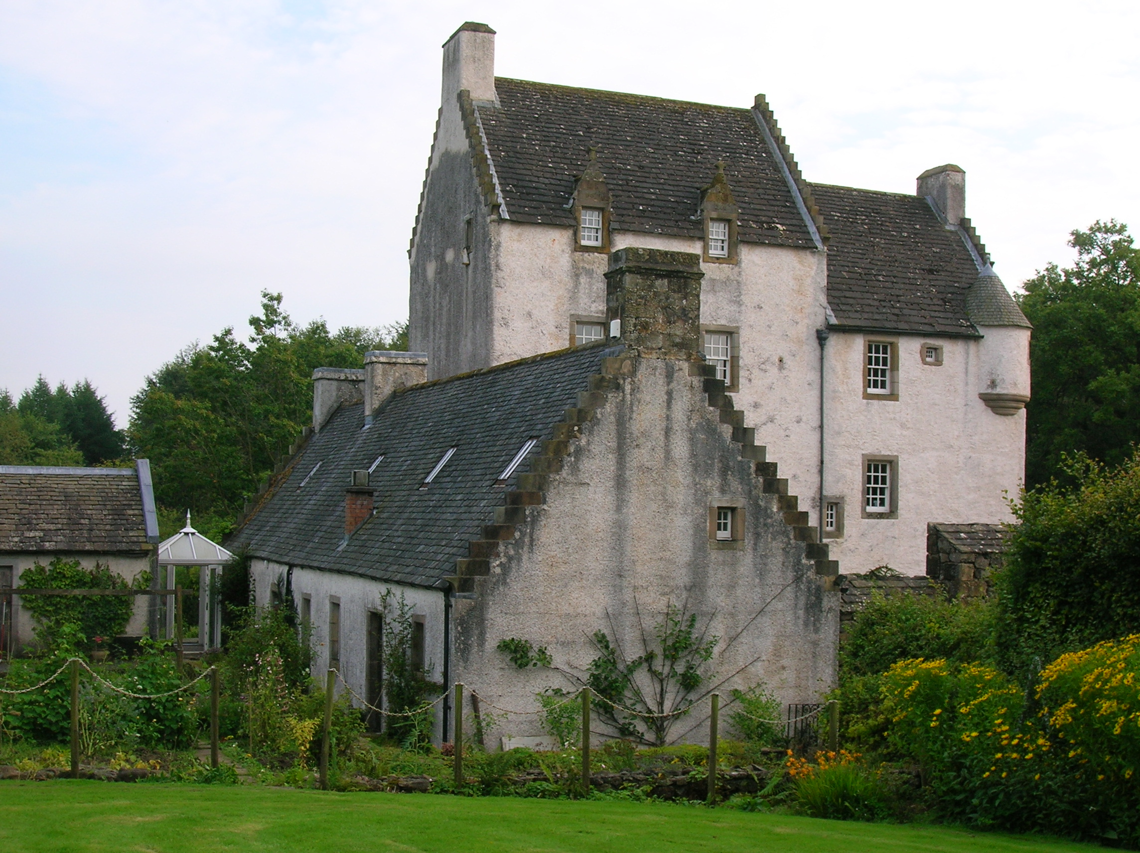
Barony of Aiket

The Barony of Aiket with its castle, lay within the old feudal bailiary of Cunninghame. The barony lands equate to the extant Parish of Dunlop, East Ayrshire...
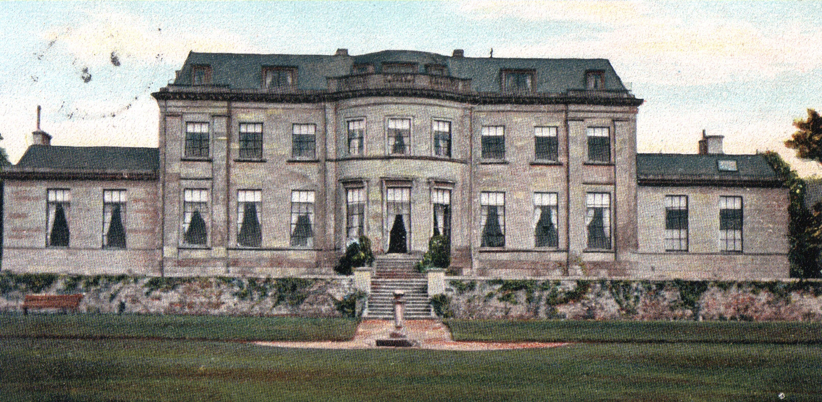
Montgreenan

Montgreenan is an estate in North Ayrshire, Parish of Kilwinning, Scotland. The Lugton Water runs through the policies and farmland of Montgreenan. Nearby...
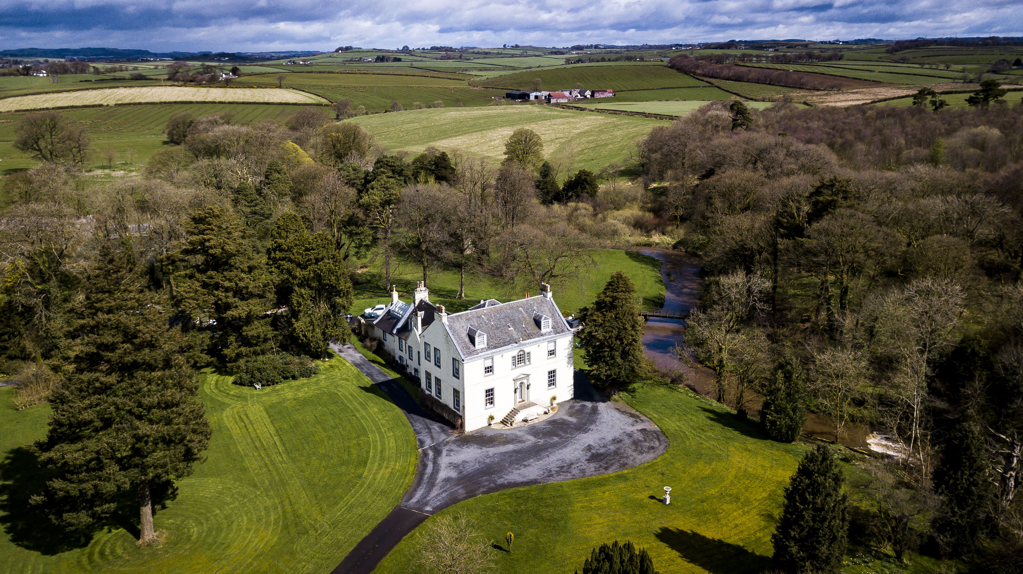
Kennox House

Kennox House is situated on Kilwinning Road between Stewarton to Torranyard in North Ayrshire, Parish of Dunlop, Scotland. The house overlooks the Glazert...

Clonbeith Castle

The Castle of Clonbeith is in the old feudal Baillerie of Cunninghame, near Auchentiber, on a sideroad off the B778, in what is now North Ayrshire, Scotland...

Nettlehirst

Nettlehirst or Nettlehurst was a small mansion house (NS365504) and estate in the Parish of Beith, near Barrmill in North Ayrshire, Scotland. The house...

Nearby Amenities

Located within 500m of 55.690292,-4.603868
Auchentiber
Place: village
Wikidata: Q4819417
Wikipedia: en:Auchentiber
Lat/Long: 55.6902792/-4.6032263
Power: pole
Lat/Long: 55.6899529/-4.6081272
Power: pole
Lat/Long: 55.6895224/-4.6068626
Power: pole
Lat/Long: 55.6890401/-4.6054205
Power: pole
Lat/Long: 55.6886943/-4.6045002
Power: pole
Lat/Long: 55.6888684/-4.6031605
Power: pole
Lat/Long: 55.6879873/-4.6018729
Power: pole
Lat/Long: 55.6884214/-4.6025261
Power: pole
Lat/Long: 55.6893142/-4.6038533
Power: pole
Lat/Long: 55.6865368/-4.6024656
Power: pole
Lat/Long: 55.6873074/-4.6030436
Power: pole
Lat/Long: 55.6886743/-4.6006709
Power: pole
Lat/Long: 55.6893507/-4.5995106
Power: pole
Lat/Long: 55.6900435/-4.5983148
Power: pole
Lat/Long: 55.6907316/-4.597117
Power: pole
Lat/Long: 55.6910069/-4.5979163
Power: pole
Lat/Long: 55.6907469/-4.5993082
Power: pole
Lat/Long: 55.6904552/-4.6008691
Power: pole
Lat/Long: 55.691615/-4.5971838
The data included in this document is from www.openstreetmap.org. The data is made available under ODbL.

Have you been to Auchentiber?

Leave your review of Auchentiber below (or comments, questions and feedback).