Church Hill Plantation
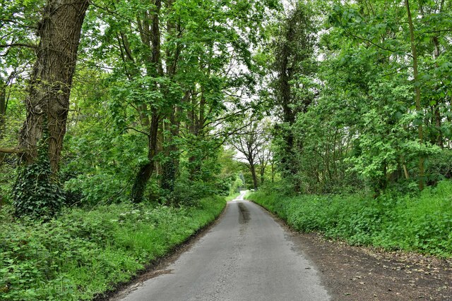
Wood, Forest in Norfolk Broadland
England
Church Hill Plantation
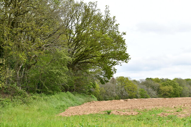
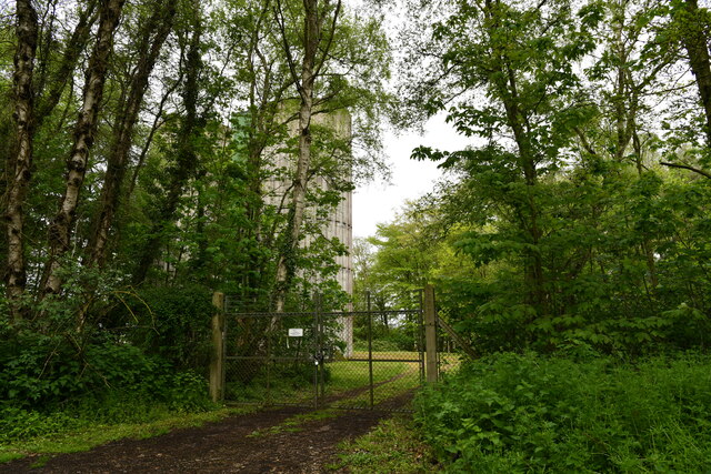
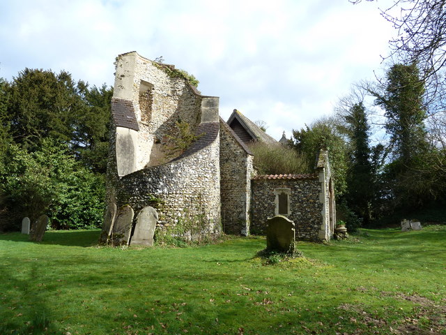
Church Hill Plantation, located in Norfolk, is a magnificent and historic woodland estate nestled amidst the lush forests of the region. Spanning over several acres, this enchanting plantation offers a captivating glimpse into the area's rich history and natural beauty.
The plantation's centerpiece is the beautifully preserved Church Hill Manor, a grand colonial-style mansion that stands as a testament to the area's opulent past. Constructed in the 18th century, the manor boasts stunning architectural details, including elegant columns, intricate woodwork, and expansive verandas. It serves as a reminder of the area's prominence during the colonial era.
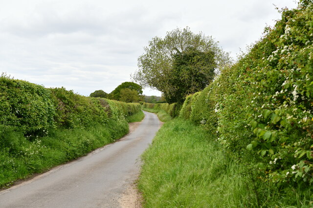
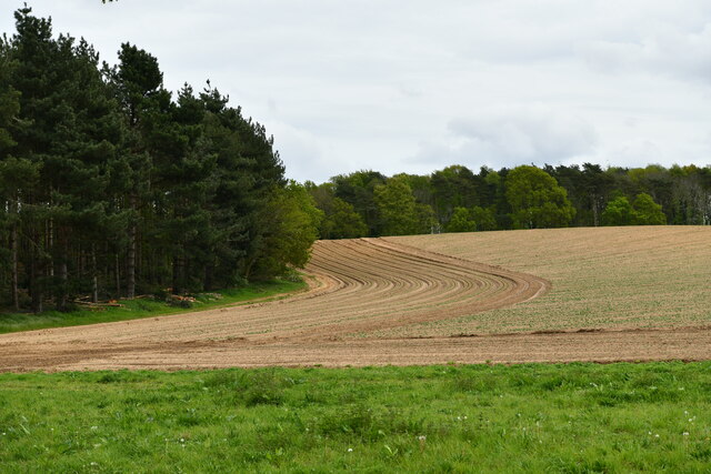
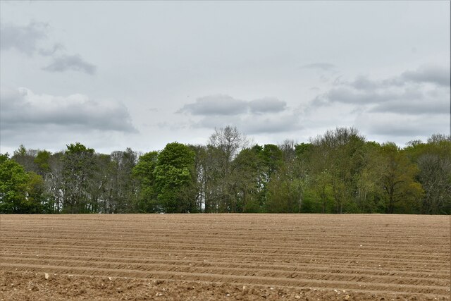
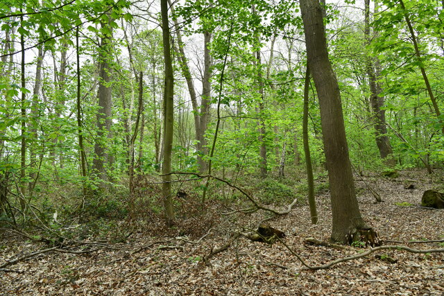
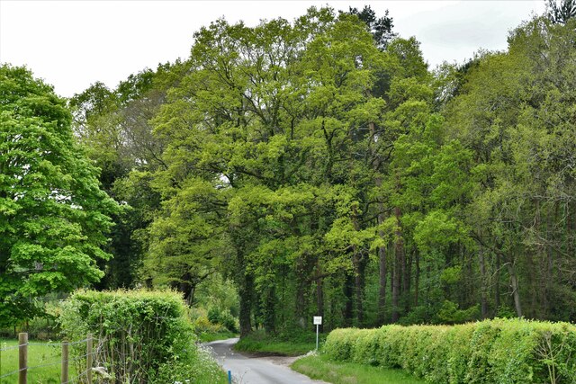
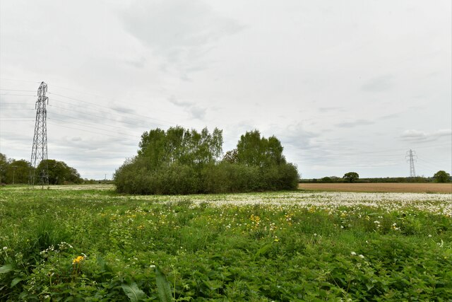
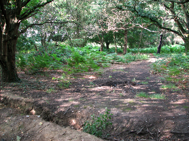
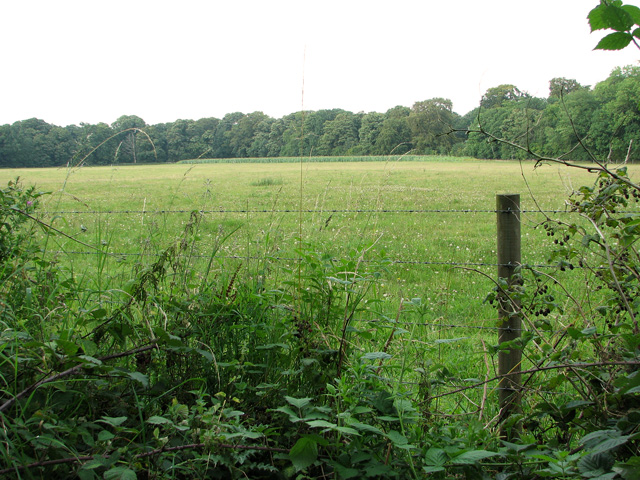
Surrounding the manor is an expanse of pristine woodlands, teeming with diverse flora and fauna. Towering trees, including majestic oaks and towering pines, dominate the landscape, providing a serene and tranquil atmosphere. The forest floor is carpeted with a variety of wildflowers, while winding trails offer opportunities for leisurely strolls and exploration.
Church Hill Plantation also features well-maintained gardens, meticulously designed to showcase the area's natural beauty. These gardens display a vibrant tapestry of colorful blooms, fragrant herbs, and manicured hedges, creating a harmonious blend of nature and human artistry.
Visitors to Church Hill Plantation can immerse themselves in the area's history and natural splendor through guided tours, which offer insights into the plantation's past and its significance in shaping the local community. Additionally, the estate hosts various events throughout the year, including garden festivals, art exhibits, and historical reenactments.
In essence, Church Hill Plantation in Norfolk is a captivating destination that seamlessly marries history, nature, and beauty, offering visitors a truly enchanting experience amidst the woodlands of this picturesque region.
If you have any feedback on the listing, please let us know in the comments section below.
Church Hill Plantation Images
Images are sourced within 2km of 52.683623/1.1487758 or Grid Reference TG1214. Thanks to Geograph Open Source API. All images are credited.
Church Hill Plantation is located at Grid Ref: TG1214 (Lat: 52.683623, Lng: 1.1487758)
Administrative County: Norfolk
District: Broadland
Police Authority: Norfolk
What 3 Words
///hologram.vented.clasping. Near Costessey, Norfolk
Nearby Locations
Related Wikis

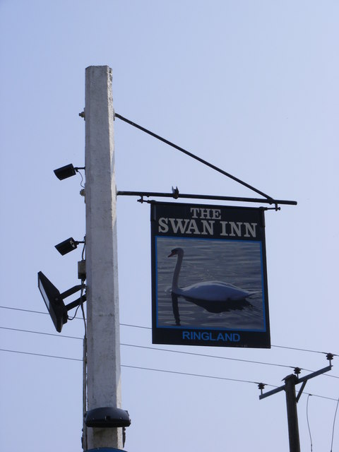
Ringland, Norfolk
Ringland is a village and civil parish in Norfolk, England, and in the valley of the River Wensum, approximately 7 miles (11 km) north-west of Norwich...

Taverham Hall School
Taverham Hall School was a private co-educational day and boarding preparatory school. Situated in Taverham, Norfolk, it was founded in 1920. The school...

Weston Longville
Weston Longville is a civil parish in the English county of Norfolk, approximately 8 miles (13 km) north-west of Norwich. Its name is derived from the...

Honingham Hall
Honingham Hall was a large country house at Honingham in Norfolk. == History == The house was commissioned by Sir Thomas Richardson, Chief Justice of the...

Attlebridge
Attlebridge is a village and civil parish in the English county of Norfolk. It is situated about 8 miles (13 km) north-west of Norwich, where the A1067...
Taverham High School
Taverham High School is a secondary school and sixth form with academy status, located in Taverham in the English county of Norfolk. As well as serving...

RAF Attlebridge
Royal Air Force Attlebridge, or simply RAF Attlebridge, is a former Royal Air Force station located near Attlebridge and 8 miles (13 km) northwest of Norwich...

Morton on the Hill
Morton on the Hill is a small but scattered village and civil parish in the English county of Norfolk, about 8 miles (13 km) north-west of Norwich. The...
Nearby Amenities
Located within 500m of 52.683623,1.1487758Have you been to Church Hill Plantation?
Leave your review of Church Hill Plantation below (or comments, questions and feedback).