Gravelpit Plantation
Wood, Forest in Norfolk Broadland
England
Gravelpit Plantation
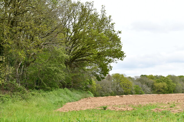
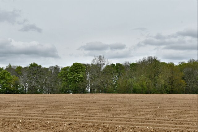
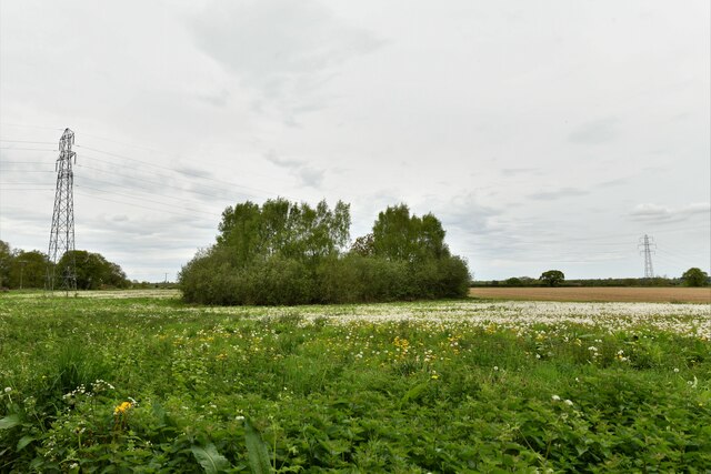
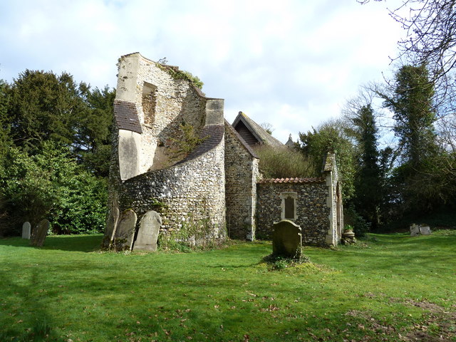
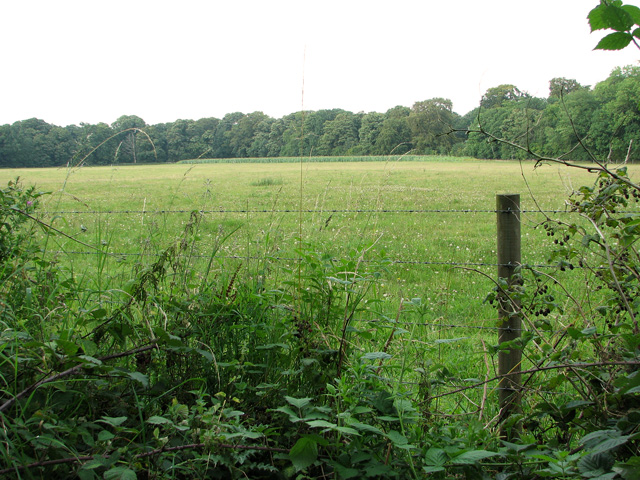
Gravelpit Plantation, located in Norfolk, England, is a picturesque woodland area known for its natural beauty and rich history. Spanning across a vast expanse, the plantation is nestled within the scenic countryside, offering visitors a tranquil and serene environment.
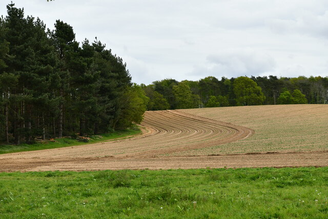
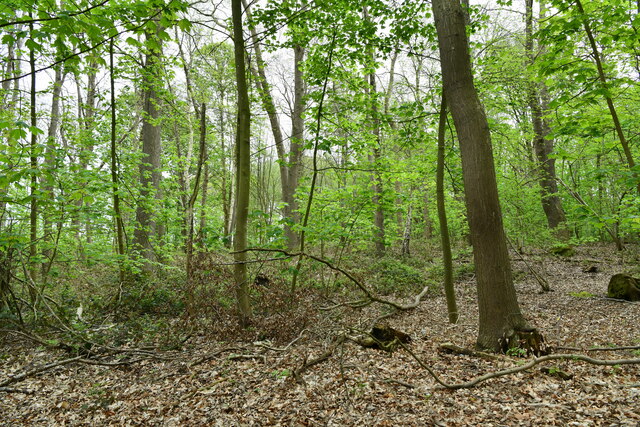
The woodland at Gravelpit Plantation boasts a diverse range of trees, including oak, beech, and birch, creating a lush and vibrant forest. The dense canopy provides a haven for various wildlife species, making it an ideal destination for nature enthusiasts and birdwatchers. Exploring the plantation's many trails and pathways offers a chance to observe an abundant array of flora and fauna in their natural habitats.
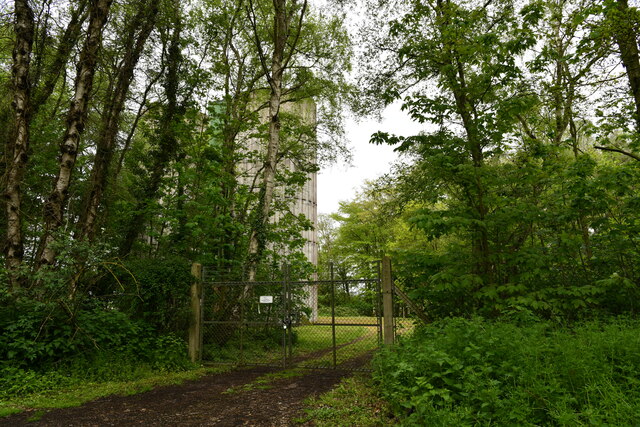
Gravelpit Plantation holds historical significance as well. It is believed that the area was once used as a gravel pit during the Roman period, hence its name. Over the centuries, the plantation has undergone various transformations, from being a source of timber for shipbuilding in the medieval era to its current status as a protected woodland area.
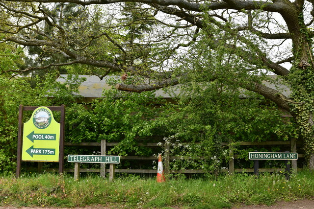
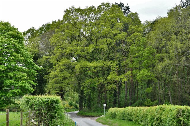
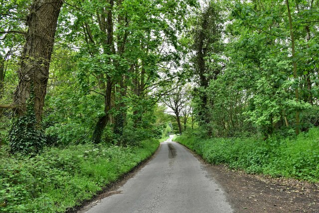
Visitors to Gravelpit Plantation can partake in a range of outdoor activities. The plantation offers opportunities for hiking, cycling, and picnicking, with designated areas for relaxation and enjoying the scenic views. Additionally, the plantation hosts educational programs and guided tours, allowing visitors to learn about the local history, wildlife, and conservation efforts.
Overall, Gravelpit Plantation in Norfolk is a captivating destination that combines natural beauty, historical significance, and recreational opportunities. It offers a tranquil escape for individuals seeking solace in nature, as well as a chance to learn and appreciate the region's rich cultural heritage.
If you have any feedback on the listing, please let us know in the comments section below.
Gravelpit Plantation Images
Images are sourced within 2km of 52.684516/1.1432462 or Grid Reference TG1214. Thanks to Geograph Open Source API. All images are credited.

Gravelpit Plantation is located at Grid Ref: TG1214 (Lat: 52.684516, Lng: 1.1432462)
Administrative County: Norfolk
District: Broadland
Police Authority: Norfolk
What 3 Words
///tables.requested.duplicity. Near Costessey, Norfolk
Nearby Locations
Related Wikis

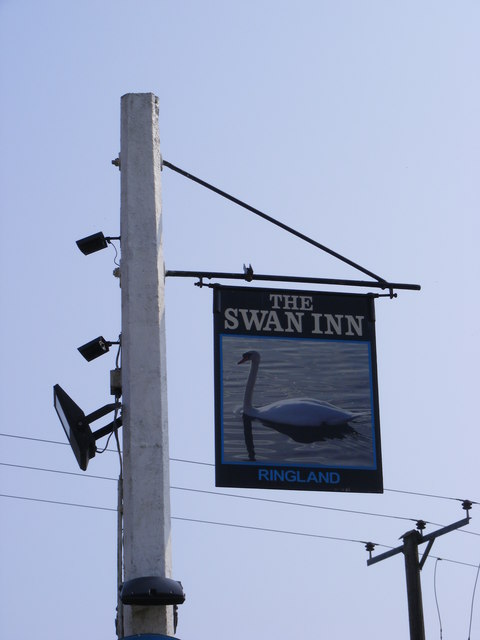
Ringland, Norfolk
Ringland is a village and civil parish in Norfolk, England, and in the valley of the River Wensum, approximately 7 miles (11 km) north-west of Norwich...

Weston Longville
Weston Longville is a civil parish in the English county of Norfolk, approximately 8 miles (13 km) north-west of Norwich. Its name is derived from the...

Honingham Hall
Honingham Hall was a large country house at Honingham in Norfolk. == History == The house was commissioned by Sir Thomas Richardson, Chief Justice of the...

RAF Attlebridge
Royal Air Force Attlebridge, or simply RAF Attlebridge, is a former Royal Air Force station located near Attlebridge and 8 miles (13 km) northwest of Norwich...

Attlebridge
Attlebridge is a village and civil parish in the English county of Norfolk. It is situated about 8 miles (13 km) north-west of Norwich, where the A1067...

Taverham Hall School
Taverham Hall School was a private co-educational day and boarding preparatory school. Situated in Taverham, Norfolk, it was founded in 1920. The school...

Morton on the Hill
Morton on the Hill is a small but scattered village and civil parish in the English county of Norfolk, about 8 miles (13 km) north-west of Norwich. The...
Taverham High School
Taverham High School is a secondary school and sixth form with academy status, located in Taverham in the English county of Norfolk. As well as serving...
Nearby Amenities
Located within 500m of 52.684516,1.1432462Have you been to Gravelpit Plantation?
Leave your review of Gravelpit Plantation below (or comments, questions and feedback).