Fundenhall Wood
Wood, Forest in Norfolk South Norfolk
England
Fundenhall Wood
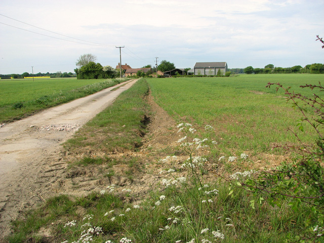
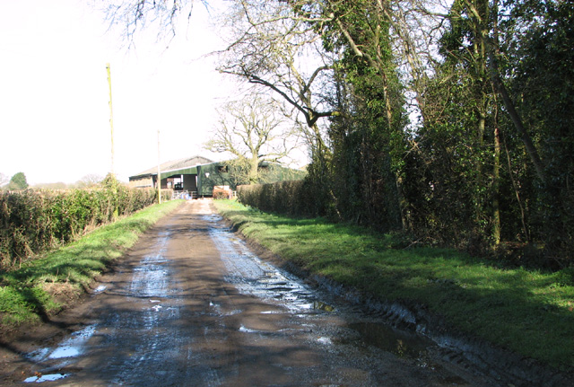
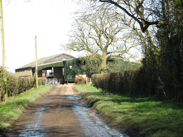
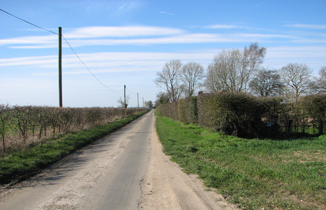
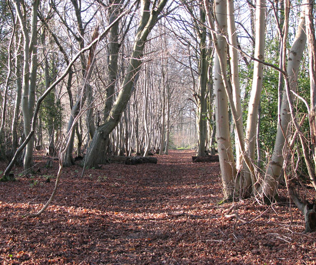
Fundenhall Wood is a picturesque woodland located in the county of Norfolk, England. Covering an area of approximately 40 hectares, this ancient woodland is a haven for nature enthusiasts and wildlife alike. The wood is situated near the village of Fundenhall and is easily accessible by foot or car.
The wood boasts a diverse range of flora and fauna, with a mix of deciduous and coniferous trees creating a rich and varied habitat. Oak, birch, beech, and pine trees dominate the landscape, providing a lush canopy that shelters a plethora of wildlife. Visitors can expect to encounter a variety of bird species, including woodpeckers, owls, and tits, as well as small mammals such as squirrels and rabbits.
Fundenhall Wood is also home to a network of well-maintained footpaths and trails, making it an ideal destination for walking and hiking enthusiasts. The paths wind their way through the wood, offering glimpses of the enchanting scenery and allowing visitors to immerse themselves in the peaceful surroundings.
The wood is managed by the Norfolk Wildlife Trust, ensuring the preservation and conservation of its natural beauty. It is also a designated Site of Special Scientific Interest (SSSI) due to its ecological importance.
Visitors to Fundenhall Wood can enjoy the tranquility and serenity of nature, while also appreciating the historical significance of this ancient woodland. It is a true gem in Norfolk's natural landscape and a must-visit destination for those seeking a peaceful retreat in the heart of nature.
If you have any feedback on the listing, please let us know in the comments section below.
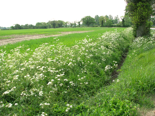
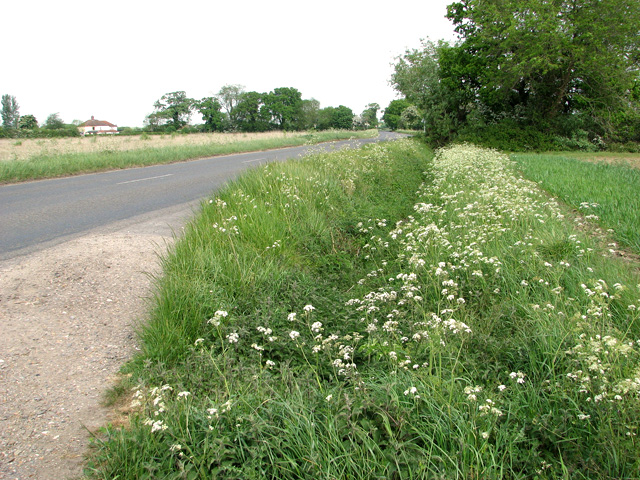
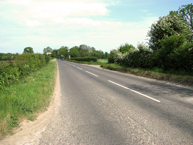
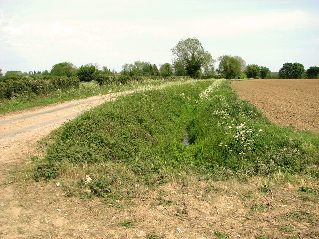
Fundenhall Wood Images
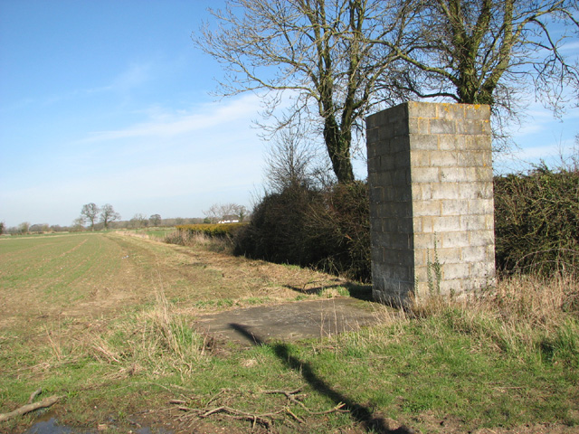
Images are sourced within 2km of 52.531047/1.132651 or Grid Reference TM1297. Thanks to Geograph Open Source API. All images are credited.


Fundenhall Wood is located at Grid Ref: TM1297 (Lat: 52.531047, Lng: 1.132651)
Administrative County: Norfolk
District: South Norfolk
Police Authority: Norfolk
What 3 Words
///timer.wobbling.snowy. Near Hethel, Norfolk
Nearby Locations
Related Wikis

Tacolneston transmitting station
The Tacolneston transmitting station is a facility for both analogue and digital VHF/FM radio and UHF television transmission near Tacolneston, 11 miles...
Lower Wood, Ashwellthorpe
Lower Wood, Ashwellthorpe is a 37.9-hectare (94-acre) biological Site of Special Scientific Interest south-east of Wymondham in Norfolk. It is managed...

Tacolneston Hall
Tacolneston Hall, in the village of Tacolneston in the county of Norfolk, has been the home of the Boileau baronets since the baronetcy was created in...
Ashwellthorpe and Fundenhall
Ashwellthorpe and Fundenhall is a civil parish in the English county of Norfolk, situated some 6 km south-east of Wymondham and 20 km south-west of Norwich...
Nearby Amenities
Located within 500m of 52.531047,1.132651Have you been to Fundenhall Wood?
Leave your review of Fundenhall Wood below (or comments, questions and feedback).