Riddles Wood

Wood, Forest in Essex Tendring

England

Riddles Wood

Straight Road, South Heath, Essex South Heath lies south of Great Bentley and this straight road is actually called Straight Road.
Straight Road, South Heath, Essex Credit: Robert Edwards

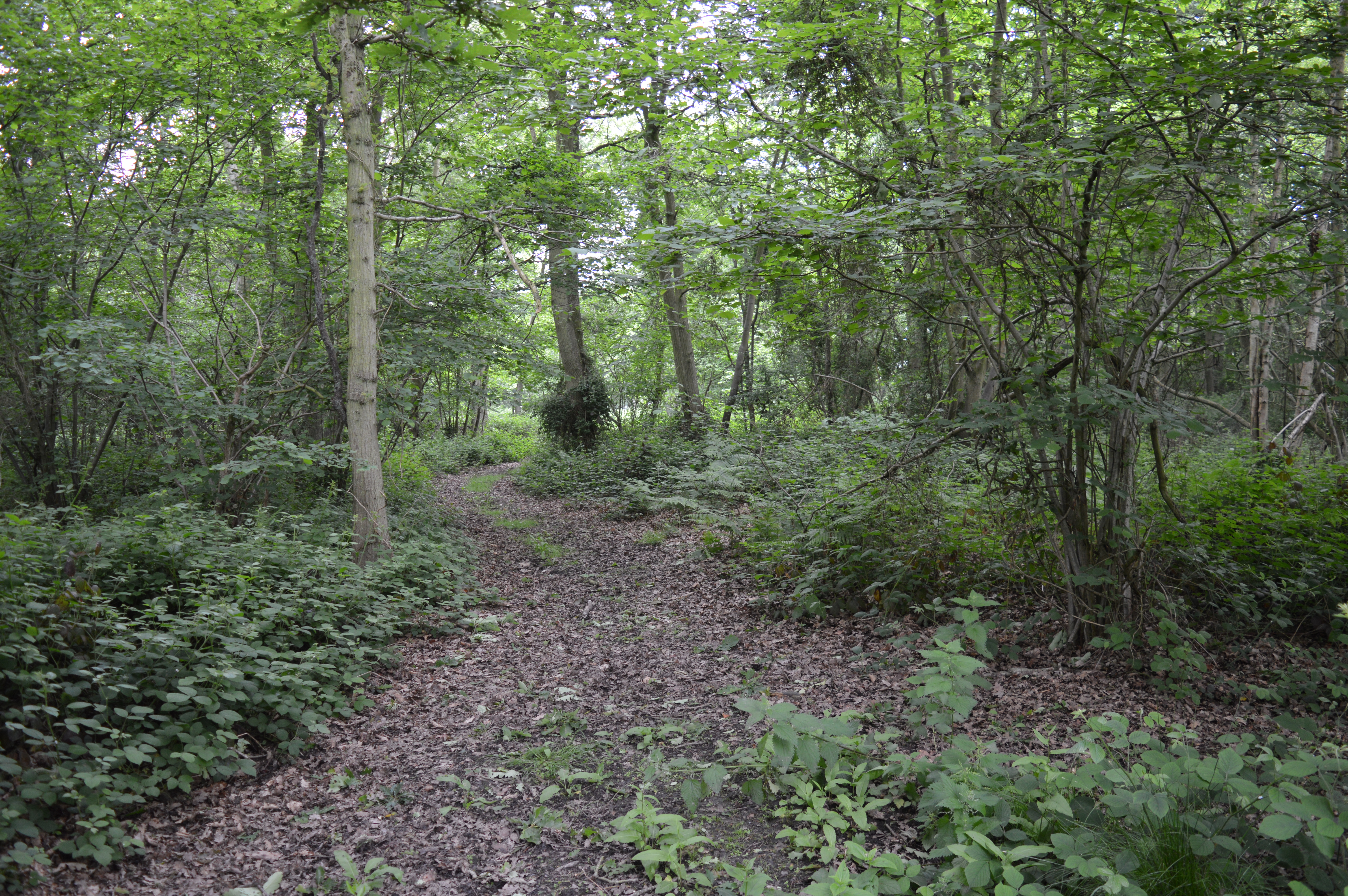
Riddles Wood is a picturesque woodland located in Essex, England. It is situated in the district of Uttlesford, near the village of Widdington. Covering an area of approximately 50 acres, Riddles Wood is known for its natural beauty and diverse ecosystem.

The woodland is predominantly made up of deciduous trees, including oak, beech, and birch. These trees provide a dense canopy that filters sunlight, creating a tranquil and shaded environment within the wood. The forest floor is carpeted with a variety of wildflowers, ferns, and mosses, adding to its enchanting atmosphere.

Riddles Wood is intersected by several well-maintained footpaths and trails, making it an ideal location for nature walks and hikes. These paths lead visitors through the heart of the wood, allowing them to explore its hidden treasures and discover its wildlife. The wood is home to a rich array of fauna, including deer, squirrels, and a multitude of bird species.

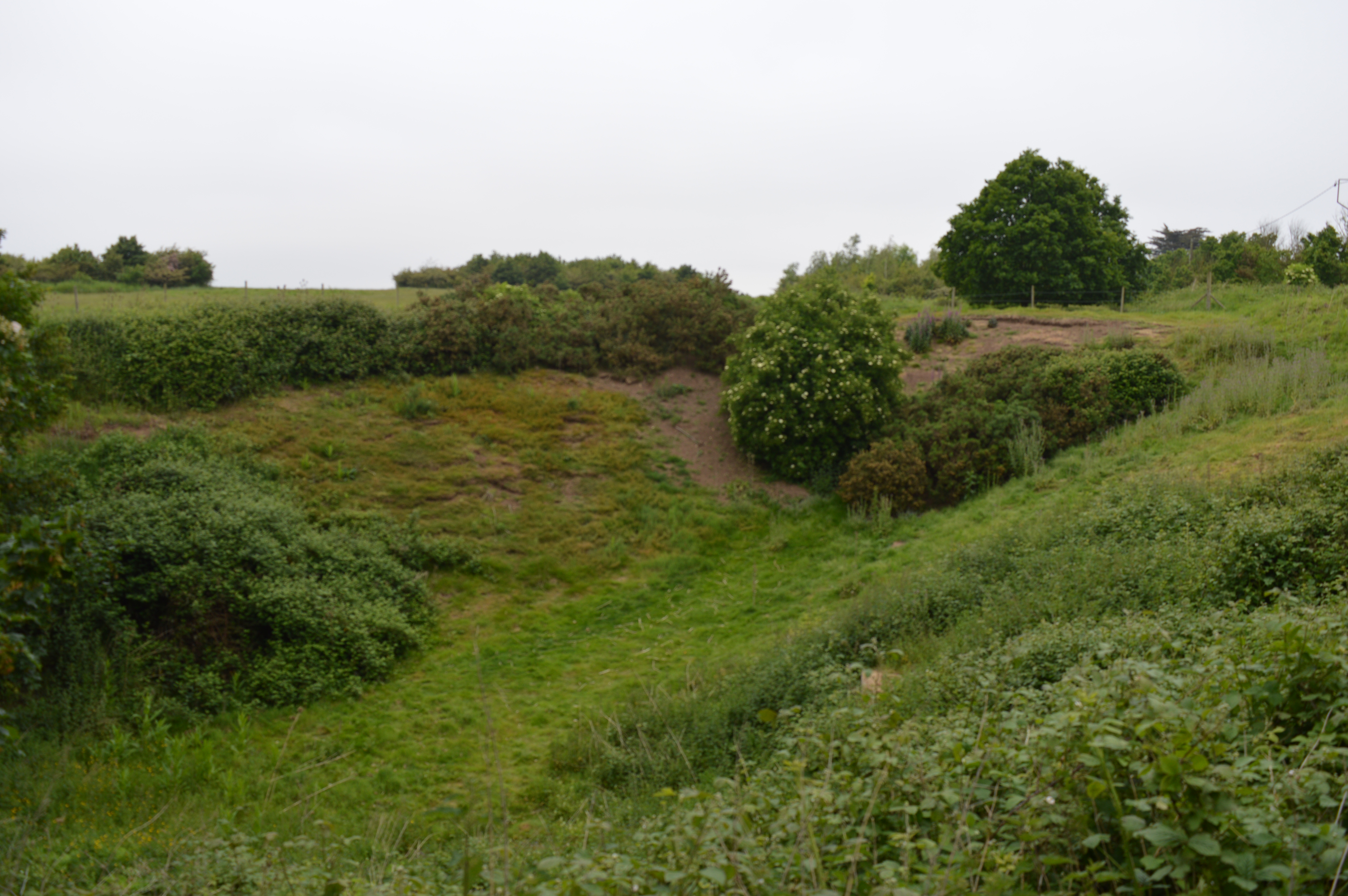
In addition to its natural beauty, Riddles Wood also holds historical significance. It is believed to have existed for hundreds of years, and remnants of ancient earthworks and ditches can still be found within its boundaries. These features provide evidence of past human activity in the area, adding an intriguing dimension to the wood's allure.

Overall, Riddles Wood is a cherished natural gem in Essex. Its lush vegetation, diverse wildlife, and historical remains make it a must-visit destination for nature enthusiasts and history buffs alike.

If you have any feedback on the listing, please let us know in the comments section below.

Riddles Wood Images

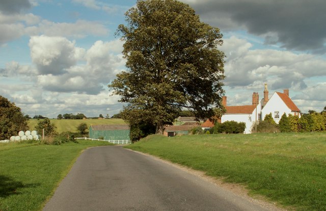
Images are sourced within 2km of 51.819003/1.0877885 or Grid Reference TM1217. Thanks to Geograph Open Source API. All images are credited.

Straight Road, South Heath, Essex South Heath lies south of Great Bentley and this straight road is actually called Straight Road.
Straight Road, South Heath, Essex
South Heath lies south of Great Bentley and this straight road is actually called Straight Road.
Frowick Hall Farm
Frowick Hall Farm
Hartleywood Farm
Hartleywood Farm
'The Beehive' public house at St. Osyth Heath, Essex The 1940s edition of the O/S map shows St. Osyth Heath as Chisbon Heath, and just to the right of this pub stands Chisbon House.
'The Beehive' public house at St. Osyth Heath, Essex
The 1940s edition of the O/S map shows St. Osyth Heath as Chisbon Heath, and just to the right of this pub stands Chisbon House.
Entrance to St. Osyth Cemetery
Road to Park Farm and holiday cottages
Cottages along the B1027
The 'Flag Inn' on the B1027, close to St. Osyth
Oaklands Holiday Village This is one of the many caravan parks in this area.
Oaklands Holiday Village
This is one of the many caravan parks in this area.
Clay Lane, just north of St Osyth
High Birch Road In the distance is Bowshots Wood.
High Birch Road
In the distance is Bowshots Wood.
Earls Hall Trig This is the Earls Hall triangulation pillar on the footpath from Earls Hall to Hartleywood farm
Earls Hall Trig
This is the Earls Hall triangulation pillar on the footpath from Earls Hall to Hartleywood farm
Flag Creek This is the southern arm of Flag Creek looking towards Marsh Farm House
Flag Creek
This is the southern arm of Flag Creek looking towards Marsh Farm House
Earls Hall Mast A radio communications mast on Earls Hall Farm
Earls Hall Mast
A radio communications mast on Earls Hall Farm
Earls Hall Haystacks? In my book these are both haystacks even though the nearest pile of bales is made of <a href="https://www.geograph.org.uk/photo/538557">TM1416 : Straw</a> however do the bales of <a href="https://www.geograph.org.uk/photo/538560">TM1416 : Hay</a> actually constitute a stack and not just a pile of bales?
Earls Hall Haystacks?
In my book these are both haystacks even though the nearest pile of bales is made of TM1416 : Straw however do the bales of TM1416 : Hay actually constitute a stack and not just a pile of bales?
Straw Straw on Earls Hall Farm
Straw
Straw on Earls Hall Farm
Hay Hay on Earls Hall Farm
Hay
Hay on Earls Hall Farm
Aerial View Wellwick Wharf and the Recycle Centre can be seen.
You can also just see the roof of The Flag Inn <a href="https://www.geograph.org.uk/photo/429998">TM1117 : The 'Flag Inn' on the B1027, close to St. Osyth</a>.
Aerial View
Wellwick Wharf and the Recycle Centre can be seen. You can also just see the roof of The Flag Inn TM1117 : The 'Flag Inn' on the B1027, close to St. Osyth.
Show me another place!

Riddles Wood is located at Grid Ref: TM1217 (Lat: 51.819003, Lng: 1.0877885)

Administrative County: Essex

District: Tendring

Police Authority: Essex

What 3 Words

///sailed.marine.mainly. Near St Osyth, Essex

Nearby Locations

Riddles Wood

Related Wikis

Riddles Wood

Riddles Wood is a 37.3-hectare (92-acre) biological Site of Special Scientific Interest between Brightlingsea and Clacton-on-Sea in Essex. The site has...

St Osyth Heath

St Osyth Heath is a hamlet in the Tendring district, in the county of Essex, England. Until the mid-1900s, The Heath was a thriving community with shops...

St Osyth Pit

St Osyth Pit is a 0.1-hectare (0.25-acre) geological Site of Special Scientific Interest north of St Osyth in Essex. It is a Geological Conservation Review...

Howlands Marsh

Howlands Marsh is a 29.9-hectare (74-acre) nature reserve north-east of St Osyth in Essex. It is managed by the Essex Wildlife Trust. It is part of the...

Nearby Amenities

Located within 500m of 51.819003,1.0877885
Power: pole
Source: bing
Lat/Long: 51.8207864/1.0814715
Power: pole
Source: bing
Lat/Long: 51.8199766/1.0873392
Power: pole
Source: bing
Lat/Long: 51.816628/1.0825128
Power: pole
Source: bing
Lat/Long: 51.8192095/1.0818598
Power: pole
Source: bing
Lat/Long: 51.8217645/1.0860197
Power: pole
Source: bing
Lat/Long: 51.8228369/1.0866857
Power: pole
Source: bing
Lat/Long: 51.8175475/1.0822756
Power: pole
Source: bing
Lat/Long: 51.8206532/1.08665
Power: pole
Source: bing
Lat/Long: 51.8233162/1.0877059
Power: pole
Source: bing
Lat/Long: 51.8199945/1.0816791
Power: pole
Source: bing
Lat/Long: 51.819331/1.0880165
Power: pole
Source: bing
Lat/Long: 51.8225483/1.0843898
Power: pole
Source: bing
Lat/Long: 51.8184268/1.0820601
Power: pole
Source: bing
Lat/Long: 51.822387/1.0857572
Power: pole
Source: bing
Lat/Long: 51.8210074/1.0859482
The data included in this document is from www.openstreetmap.org. The data is made available under ODbL.

Have you been to Riddles Wood?

Leave your review of Riddles Wood below (or comments, questions and feedback).