Bunwell Wood

Wood, Forest in Norfolk South Norfolk

England

Bunwell Wood

Gilderswood Lane, west from Forncett St Peter Some maps omit the 'Lane', but it is included on its nameplate at the east end.
Gilderswood Lane, west from Forncett St Peter Credit: Robin Webster

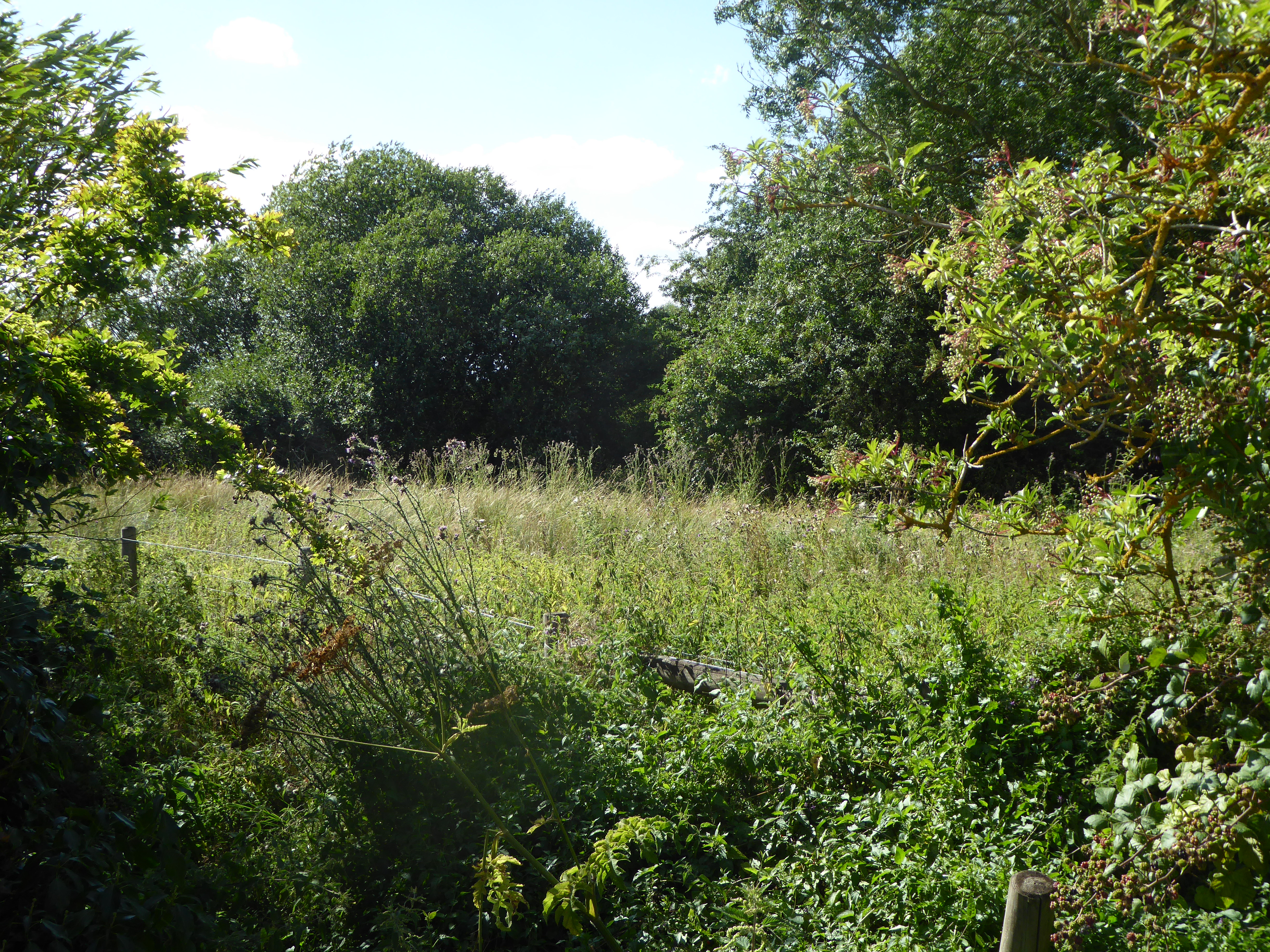
Bunwell Wood is a picturesque woodland located in the county of Norfolk, England. Covering an area of approximately 60 hectares, it is a prime example of ancient woodland that has been preserved for centuries. The wood is nestled between the villages of Bunwell and Carleton Rode, surrounded by rolling farmland and peaceful countryside.

The woodland is dominated by a diverse range of trees, including oak, ash, birch, and beech, which create a dense and enchanting canopy. These trees have been allowed to grow undisturbed for generations, resulting in a rich and varied ecosystem that supports a wide array of plant and animal species.

Exploring Bunwell Wood offers a tranquil escape from the bustling modern world, with its network of winding footpaths and meandering streams. It is a popular destination for nature lovers, walkers, and birdwatchers, who can spot a variety of species such as woodpeckers, tawny owls, and deer. The wood is also home to a vibrant display of wildflowers during the spring and summer months, adding bursts of color to the lush green surroundings.

Managed by the Norfolk Wildlife Trust, Bunwell Wood is a protected site, ensuring its preservation for future generations. The trust works to maintain the delicate balance of the woodland's ecosystem, undertaking conservation efforts and promoting sustainable practices.

Visitors to Bunwell Wood can enjoy its natural beauty year-round, immersing themselves in the tranquility of this ancient woodland and experiencing the wonders of nature in Norfolk.

If you have any feedback on the listing, please let us know in the comments section below.

Bunwell Wood Images

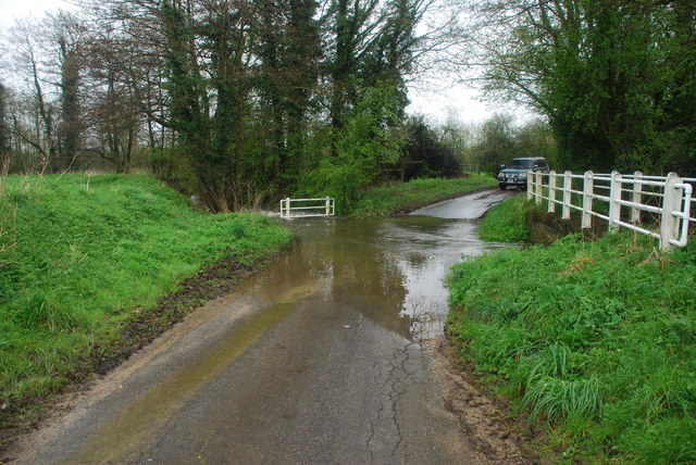
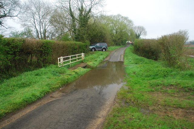
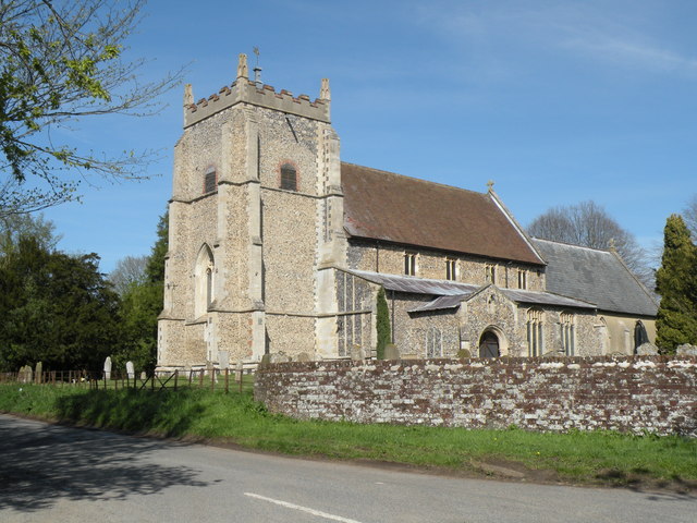
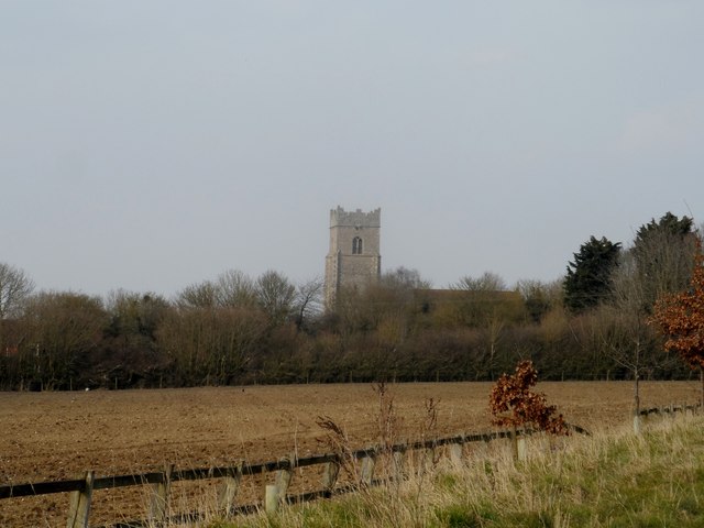
Images are sourced within 2km of 52.485806/1.1341915 or Grid Reference TM1292. Thanks to Geograph Open Source API. All images are credited.

Gilderswood Lane, west from Forncett St Peter Some maps omit the 'Lane', but it is included on its nameplate at the east end.
Gilderswood Lane, west from Forncett St Peter
Some maps omit the 'Lane', but it is included on its nameplate at the east end.
Low Common Lane Towards Bunwell Hill.
Low Common Lane
Towards Bunwell Hill.
Bunwell Hill The name of the road as well as the settlement.
Bunwell Hill
The name of the road as well as the settlement.
B1113 The Turnpike Towards New Buckenham.
B1113 The Turnpike
Towards New Buckenham.
Gower's Farm Ford This ford on the River Tas is found on Hall Road on the way to Bunwell Hill. The ford is in flood following heavy April rain.
Gower's Farm Ford
This ford on the River Tas is found on Hall Road on the way to Bunwell Hill. The ford is in flood following heavy April rain.
Ford at Brock's Watering This ford is found on the Forncett Road just south of Brock's Watering.
Ford at Brock's Watering
This ford is found on the Forncett Road just south of Brock's Watering.
Bunwell Ford This ford is found on Barham's Lane just south of Bunwell.
Bunwell Ford
This ford is found on Barham's Lane just south of Bunwell.
All Saints: the parish church of Carleton Rode This church has a very interesting late 13th century chancel.  The rest of the church is of the perpendicular period.  The church stands in the centre of the village.
All Saints: the parish church of Carleton Rode
This church has a very interesting late 13th century chancel. The rest of the church is of the perpendicular period. The church stands in the centre of the village.
Church of St Michael and All Angels, Bunwell
Bunwell Primary School A plaque on the wall commemorates the school centenary: 1879 - 1979.
Bunwell Primary School
A plaque on the wall commemorates the school centenary: 1879 - 1979.
St. Michael: the parish church of Bunwell This perpendicular church stands away from the village, just southeast.
St. Michael: the parish church of Bunwell
This perpendicular church stands away from the village, just southeast.
Ordnance Survey Rivet This damaged OS rivet can be found on Mile Stone - Norwich 12. It marks a point 54.712m above mean sea level. <a title="https://www.geograph.org.uk/photo/4206181" href="https://www.geograph.org.uk/photo/4206181">Link</a>
Ordnance Survey Rivet
This damaged OS rivet can be found on Mile Stone - Norwich 12. It marks a point 54.712m above mean sea level. Link
Mile Stone - Norwich 12 There is an Ordnance Survey rivet on the top of this mile stone. <a title="https://www.geograph.org.uk/photo/4206178" href="https://www.geograph.org.uk/photo/4206178">Link</a>
Mile Stone - Norwich 12
There is an Ordnance Survey rivet on the top of this mile stone. Link
Mile Stone - Norwich  13
Mile Stone - Norwich 13
Ordnance Survey Cut Mark This OS cut mark can be found on the SW angle of St Michael's Church. It marks a point 60.933m above mean sea level.
Ordnance Survey Cut Mark
This OS cut mark can be found on the SW angle of St Michael's Church. It marks a point 60.933m above mean sea level.
Carleton Rode, All Saints The tower here houses a ring of 6 in the key of A, the tenor weighing 7-1-3.
Carleton Rode, All Saints
The tower here houses a ring of 6 in the key of A, the tenor weighing 7-1-3.
All Saints' Church Carleton Rode The nave and chancel are mostly C13. The tower is C14.
All Saints' Church Carleton Rode
The nave and chancel are mostly C13. The tower is C14.
Two mid-air collision Memorials at Carleton Rode The upper part of the memorial is to the memory of 17 american airmen who were killed on November 21st 1944, when their aircraft collided over the village. The aircraft were from 550th Squadron based at Great Ashfield and 389th based at Hethel.
The lower part of the Memorial is to 11 men killed in similar circumstances on February 9th 1945 when two aircraft collided and crashed at Bury's Hall Farm. One was from 453 squadron, and the other was from 734 squadron both flying out of Old Buckenham.
Two mid-air collision Memorials at Carleton Rode
The upper part of the memorial is to the memory of 17 american airmen who were killed on November 21st 1944, when their aircraft collided over the village. The aircraft were from 550th Squadron based at Great Ashfield and 389th based at Hethel. The lower part of the Memorial is to 11 men killed in similar circumstances on February 9th 1945 when two aircraft collided and crashed at Bury's Hall Farm. One was from 453 squadron, and the other was from 734 squadron both flying out of Old Buckenham.
Show me another place!

Bunwell Wood is located at Grid Ref: TM1292 (Lat: 52.485806, Lng: 1.1341915)

Administrative County: Norfolk

District: South Norfolk

Police Authority: Norfolk

What 3 Words

///decks.axed.charts. Near Long Stratton, Norfolk

Nearby Locations

Bunwell Wood

Related Wikis

Carleton Rode

Carleton Rode is a village and civil parish in Norfolk, England. It is situated approximately five miles south-east of Attleborough. In the 2011 Census...

Bunwell

Bunwell is a parish (population 1024) situated in the county of Norfolk, England, approximately 7 miles south-east of Attleborough. The parish includes...

Tibenham, Norfolk

Tibenham is a village and civil parish located in the Depwade district of South Norfolk, England. The parish is 2 miles (3.2 km) north west of Tivetshall...

Aslacton Parish Land

Aslacton Parish Land is a 4.4-hectare (11-acre) biological Site of Special Scientific Interest west of Long Stratton in Norfolk.This site has wet and dry...

Nearby Amenities

Located within 500m of 52.485806,1.1341915
Note: Bunwell FP 9 stops here but folk walk on southwards when crossfield path not available.
Lat/Long: 52.4885754/1.1385521
Post Box
Collection Times: Mo-Fr 16:45; Sa 11:45
Operator: Royal Mail
Post Box Type: lamp
Ref: NR16 1624
Royal Cypher: EIIR
Royal Cypher Wikidata: Q33102113
Lat/Long: 52.4830564/1.1335174
Power: pole
Lat/Long: 52.489566/1.1364421
Power: pole
Lat/Long: 52.4898338/1.1347711
Power: pole
Lat/Long: 52.4863942/1.1299834
Power: pole
Lat/Long: 52.4892834/1.1382848
Power: pole
Lat/Long: 52.4870573/1.129919
Power: pole
Lat/Long: 52.485259/1.1301443
Power: pole
Lat/Long: 52.4883002/1.1297634
Power: pole
Lat/Long: 52.4841466/1.130273
Power: pole
Lat/Long: 52.4900596/1.1330764
Give Way
Lat/Long: 52.4831787/1.1338676
Give Way
Lat/Long: 52.4831567/1.1336979
Give Way
Lat/Long: 52.4830857/1.1336558
Power: pole
Lat/Long: 52.4826324/1.1298403
The data included in this document is from www.openstreetmap.org. The data is made available under ODbL.

Have you been to Bunwell Wood?

Leave your review of Bunwell Wood below (or comments, questions and feedback).