Clubs Heath
Wood, Forest in Suffolk Babergh
England
Clubs Heath
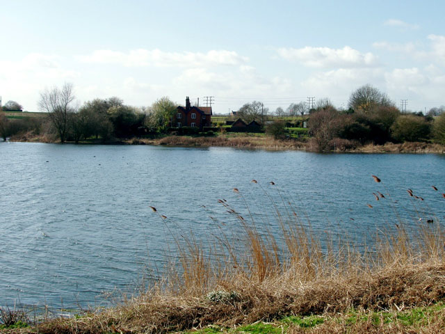
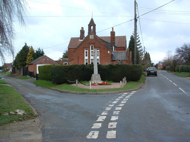
Heath, Suffolk is a small village located in the county of Suffolk, England. It is situated in the eastern part of the country, close to the border with Norfolk. The village is known for its beautiful woodlands and forests, which are a prominent feature of the area.
The woodlands in Heath, Suffolk are diverse and rich, with a wide variety of tree species including oak, beech, and pine. These forests provide a habitat for many different types of wildlife, including deer, foxes, and various bird species. The woodlands are also popular among nature enthusiasts and hikers, who can enjoy the tranquility and beauty of the area.
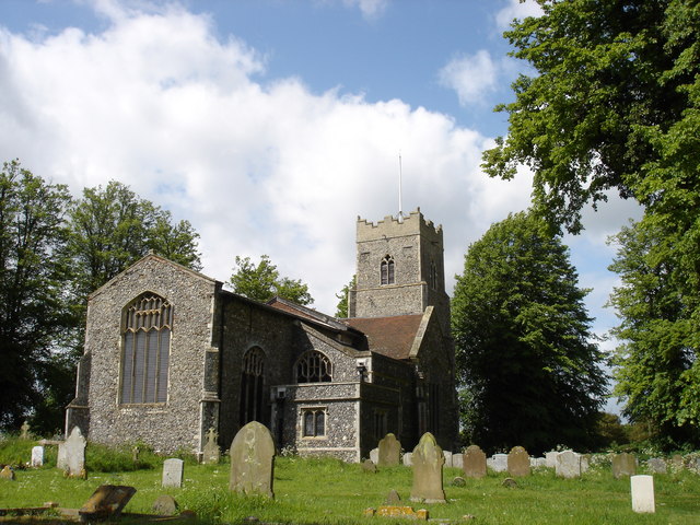
In addition to its natural beauty, Heath, Suffolk also has a small community of residents. The village is characterized by its quaint cottages and traditional architecture, giving it a charming and picturesque atmosphere. The local community is close-knit and friendly, with various social events and activities organized throughout the year.
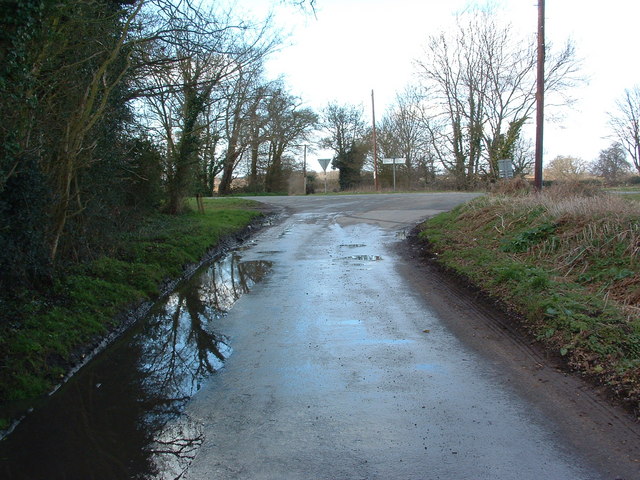
Despite its small size, Heath, Suffolk is well-connected to nearby towns and cities. The village has good transport links, with easy access to major roads and public transportation. This allows residents to easily commute to work or visit nearby attractions.
Overall, Heath, Suffolk is a peaceful and idyllic village surrounded by stunning woodlands and forests. Its natural beauty, friendly community, and convenient location make it an attractive place to live or visit for those seeking a tranquil and picturesque setting.
If you have any feedback on the listing, please let us know in the comments section below.
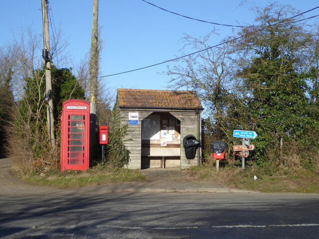
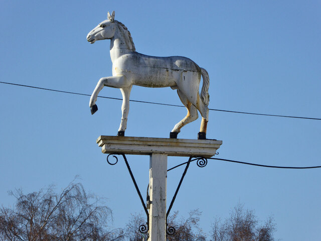
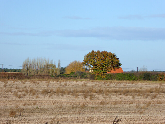
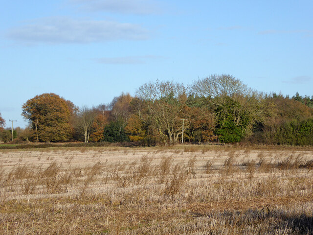
Clubs Heath Images
Images are sourced within 2km of 52.015887/1.1008841 or Grid Reference TM1239. Thanks to Geograph Open Source API. All images are credited.


Clubs Heath is located at Grid Ref: TM1239 (Lat: 52.015887, Lng: 1.1008841)
Administrative County: Suffolk
District: Babergh
Police Authority: Suffolk
What 3 Words
///warned.javelin.wells. Near Capel St Mary, Suffolk
Nearby Locations
Related Wikis
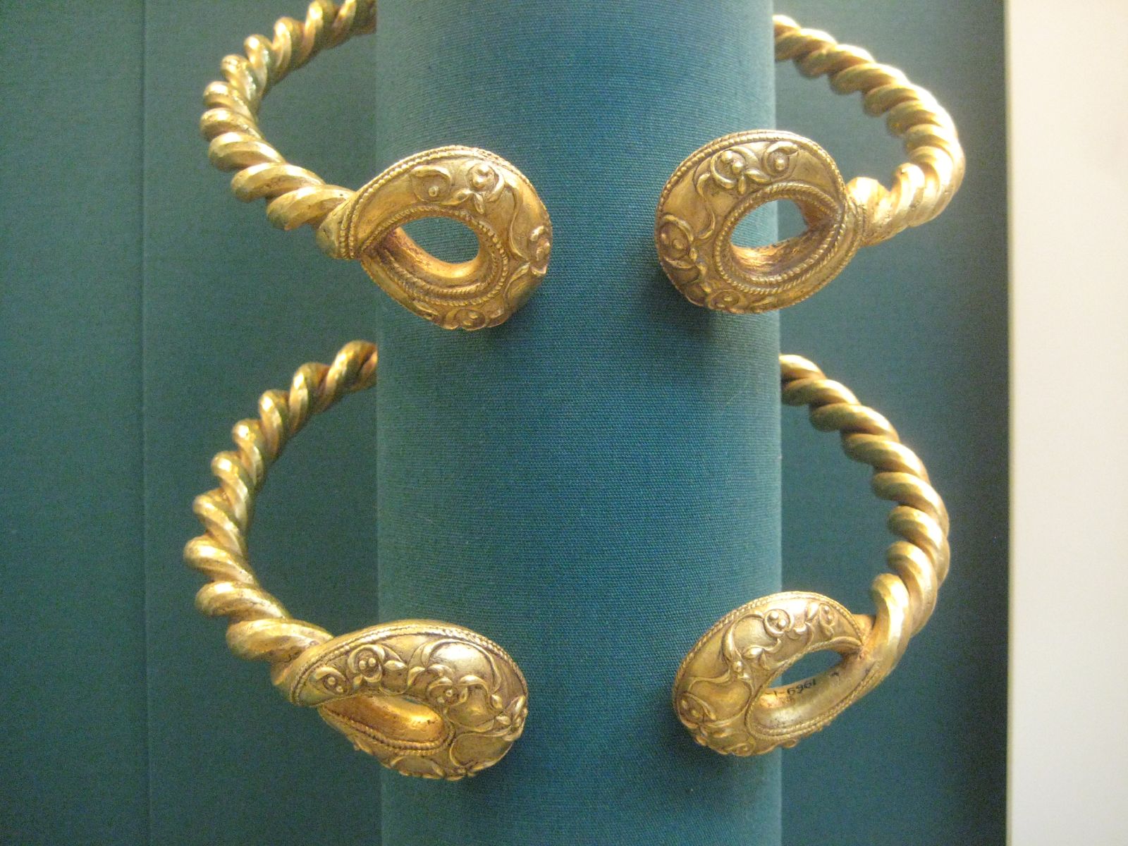
Ipswich Hoard
There are two notable Ipswich Hoards (which is to say, ancient hoards found in Ipswich, the county town of Suffolk, England). The first was a hoard of...
Belstead
Belstead is a village and civil parish in the Babergh district of the English county of Suffolk. Located on the southern edge of Ipswich, around 3 miles...

Bentley Church railway station
Bentley Church railway station was located in Suffolk, the village of Bentley. It was situated between the stations of Hadleigh and Manningtree, 1+1⁄4...
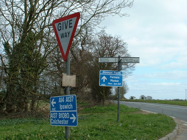
Jimmy's Farm
Jimmy's Farm is a British television series set in a working rare-breed farm, tourist destination and wedding venue in Wherstead, Suffolk. The series is...
Blackbourn Hundred
Blackbourn was a hundred of Suffolk, consisting of 66,272 acres (26,819 ha). Blackbourn hundred was situated in the north-west of Suffolk. Its northern...
Samford Hundred
Samford was a hundred of Suffolk, consisting of 44,940 acres (181.9 km2). It was situated to the south and south west of Ipswich. The hundred was bounded...

Old London Road
Old London Road is a cricket ground in Copdock, Suffolk. The first recorded match on the ground was in 1847, when the Gentlemen of Suffolk played the...
Copdock
Copdock is a village and former civil parish, now in the parish of Copdock and Washbrook, in the Babergh district, in the county of Suffolk, England. In...
Nearby Amenities
Located within 500m of 52.015887,1.1008841Have you been to Clubs Heath?
Leave your review of Clubs Heath below (or comments, questions and feedback).