Newcome Wood

Wood, Forest in Suffolk Babergh

England

Newcome Wood

Tattingstone White Horse bus stop Complete with all the usual village add-ons.
Tattingstone White Horse bus stop Credit: Robin Webster

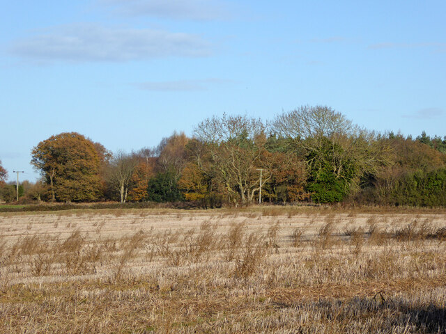
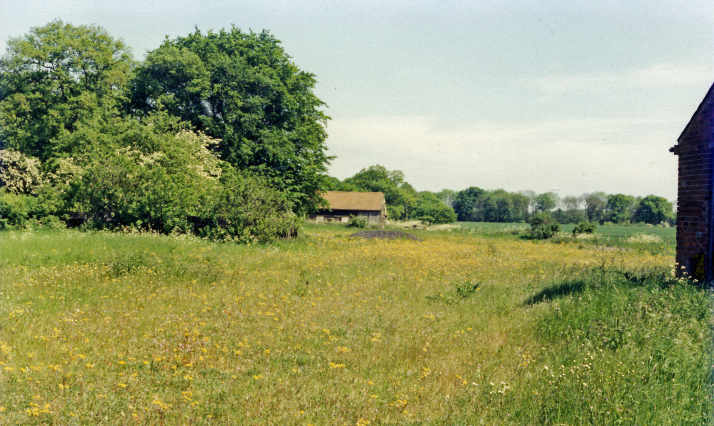
Newcome Wood is a picturesque woodland located in the county of Suffolk, England. Covering an area of approximately 100 acres, it is a stunning example of a traditional British woodland with a rich diversity of flora and fauna.

The wood is predominantly composed of deciduous trees, including oak, beech, and ash, which create a dense canopy that provides shade and shelter for the undergrowth. The forest floor is carpeted with a variety of plants, such as bluebells, wild garlic, and ferns, adding to the enchanting atmosphere of the wood.

Newcome Wood is home to a wide range of wildlife, making it a popular destination for nature enthusiasts and birdwatchers. Visitors may spot numerous bird species, including woodpeckers, owls, and various songbirds. Mammals such as deer, foxes, and squirrels also inhabit the wood, adding to its natural charm.

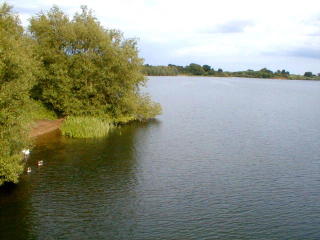
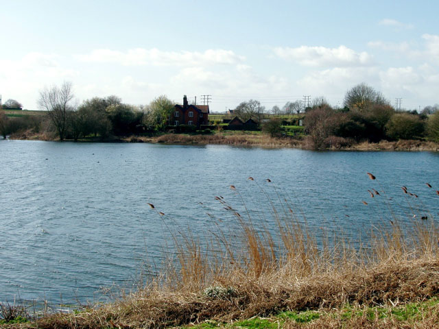
The wood features several well-maintained footpaths, allowing visitors to explore its beauty and serenity at their own pace. These pathways meander through the trees, providing glimpses of picturesque ponds and tranquil streams along the way.

Newcome Wood is not only a haven for wildlife but also a place of historical significance. The wood has been managed sustainably for centuries, with evidence of ancient coppicing and woodland management techniques. This careful stewardship has resulted in a diverse range of habitats and a healthy ecosystem.

Overall, Newcome Wood offers a peaceful retreat from the hustle and bustle of everyday life, providing a sanctuary for both nature and visitors alike.

If you have any feedback on the listing, please let us know in the comments section below.
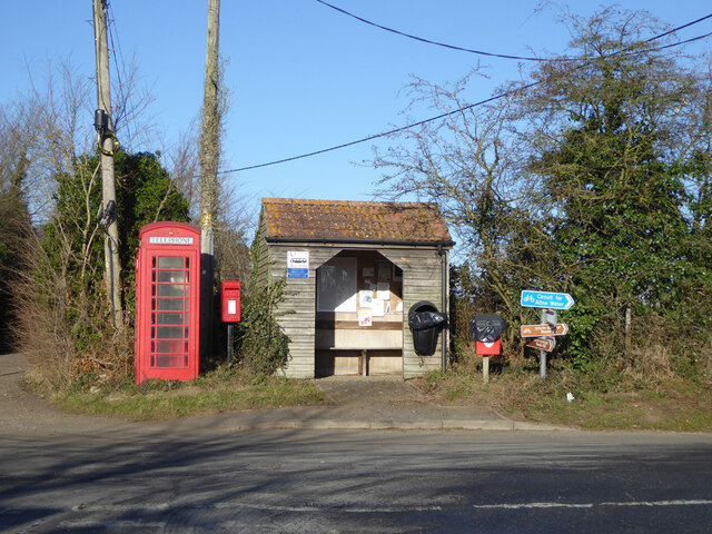
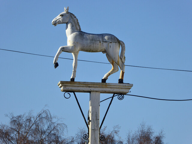
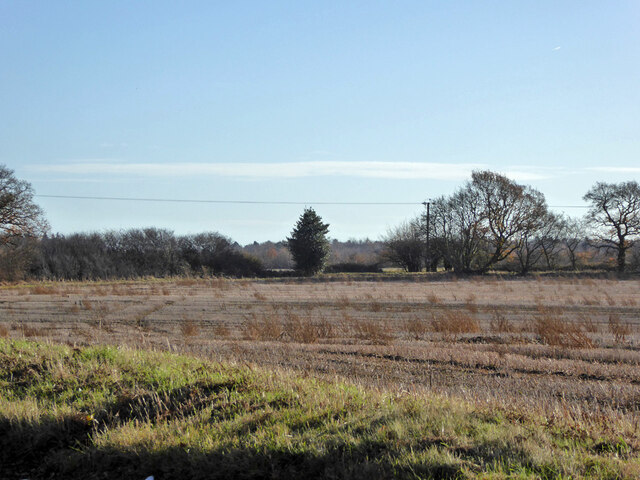
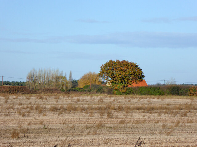
Newcome Wood Images

Images are sourced within 2km of 52.009957/1.0941777 or Grid Reference TM1239. Thanks to Geograph Open Source API. All images are credited.

Tattingstone White Horse bus stop Complete with all the usual village add-ons.
Tattingstone White Horse bus stop
Complete with all the usual village add-ons.
Inn sign, White Horse, Tattingstone White Horse
Field south and west of Coxhall Road Looking across the angle as the road bends round the field.
Field south and west of Coxhall Road
Looking across the angle as the road bends round the field.
Field south and west of Coxhall Road
A corner of Holbrook Park The mapped name of the quite large wood.
A corner of Holbrook Park
The mapped name of the quite large wood.
Alton Reservoir View from Lemon Hill.
Alton Reservoir
View from Lemon Hill.
Primary School Bentley Suffolk.
St. Mary's church, Bentley, Suffolk This church dates back to the Normans but a lot of what we see now is restoration in 1858 and 1884. It stands a long way north of the village.
St. Mary's church, Bentley, Suffolk
This church dates back to the Normans but a lot of what we see now is restoration in 1858 and 1884. It stands a long way north of the village.
Carpet of Bluebells Carpet of Bluebells in wood May 2005.
Carpet of Bluebells
Carpet of Bluebells in wood May 2005.
Rookery Farm and Farm Shop
Rookery Farm Shop Beamed barn converted to farm shop
Rookery Farm Shop
Beamed barn converted to farm shop
Tattingstone White Horse Did the pub give its name to the hamlet, or the hamlet to the pub? The horse is reputed to have been rescued from the White Horse Hotel in Ipswich.
Tattingstone White Horse
Did the pub give its name to the hamlet, or the hamlet to the pub? The horse is reputed to have been rescued from the White Horse Hotel in Ipswich.
Alton Water from near Tattingstone White Horse The reservoir cuts Tattingstone in two, leaving Tattingstone White Horse connected to Tattingstone village by the Lemons Hill Bridge.
Alton Water from near Tattingstone White Horse
The reservoir cuts Tattingstone in two, leaving Tattingstone White Horse connected to Tattingstone village by the Lemons Hill Bridge.
Footpath Through Rape Footpath through a field that within a few weeks will be bright yellow and a field of oilseed rape near to Tattingstone Suffolk.
Footpath Through Rape
Footpath through a field that within a few weeks will be bright yellow and a field of oilseed rape near to Tattingstone Suffolk.
Four Trees Four trees in a field near to Blacksmiths Corner Belstead Suffolk.
Four Trees
Four trees in a field near to Blacksmiths Corner Belstead Suffolk.
Main Line View of the London to Norwich railway line south of Ipswich Suffolk
Main Line
View of the London to Norwich railway line south of Ipswich Suffolk
Railway Bridge The south side of the railway bridge near to Bentley Park Suffolk spanning the London to Norwich main line.
Railway Bridge
The south side of the railway bridge near to Bentley Park Suffolk spanning the London to Norwich main line.
To Bentley Old Hall This track lead to Bentley Old Hall Suffolk.
To Bentley Old Hall
This track lead to Bentley Old Hall Suffolk.
Show me another place!

Newcome Wood is located at Grid Ref: TM1239 (Lat: 52.009957, Lng: 1.0941777)

Administrative County: Suffolk

District: Babergh

Police Authority: Suffolk

What 3 Words

///apparatus.scripted.automate. Near Capel St Mary, Suffolk

Related Wikis

Bentley Church railway station

Bentley Church railway station was located in Suffolk, the village of Bentley. It was situated between the stations of Hadleigh and Manningtree, 1+1⁄4...

Blackbourn Hundred

Blackbourn was a hundred of Suffolk, consisting of 66,272 acres (26,819 ha). Blackbourn hundred was situated in the north-west of Suffolk. Its northern...

Samford Hundred

Samford was a hundred of Suffolk, consisting of 44,940 acres (181.9 km2). It was situated to the south and south west of Ipswich. The hundred was bounded...

Ipswich Hoard

There are two notable Ipswich Hoards (which is to say, ancient hoards found in Ipswich, the county town of Suffolk, England). The first was a hoard of...

Belstead

Belstead is a village and civil parish in the Babergh district of the English county of Suffolk. Located on the southern edge of Ipswich, around 3 miles...

Capel railway station

Capel railway station was a station in Capel St Mary, Suffolk, on a short branch line from Bentley Junction to Hadleigh. The station buildings were remarkably...

Old London Road

Old London Road is a cricket ground in Copdock, Suffolk. The first recorded match on the ground was in 1847, when the Gentlemen of Suffolk played the...

Jimmy's Farm

Jimmy's Farm is a British television series set in a working rare-breed farm, tourist destination and wedding venue in Wherstead, Suffolk. The series is...

Nearby Amenities

Located within 500m of 52.009957,1.0941777
Power: tower
Lat/Long: 52.0093474/1.0967247
Power: tower
Lat/Long: 52.0113613/1.099463
Power: tower
Lat/Long: 52.0072489/1.0944795
Power: pole
Lat/Long: 52.0071321/1.0938076
Power: pole
Lat/Long: 52.0107594/1.0970584
Power: pole
Lat/Long: 52.0124961/1.0989547
Power: pole
Lat/Long: 52.0079774/1.0944647
Material: wood
Power: pole
Lat/Long: 52.0117631/1.0981528
Power: pole
Lat/Long: 52.009131/1.0952734
Power: pole
Lat/Long: 52.0062934/1.0931987
Power: pole
Lat/Long: 52.0093809/1.1011971
The data included in this document is from www.openstreetmap.org. The data is made available under ODbL.

Have you been to Newcome Wood?

Leave your review of Newcome Wood below (or comments, questions and feedback).