Lawn Wood
Wood, Forest in Norfolk South Norfolk
England
Lawn Wood

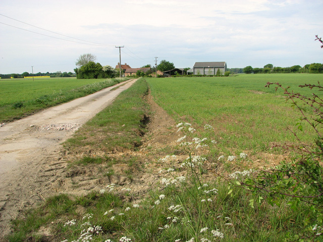
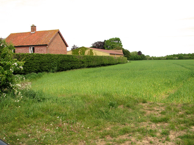
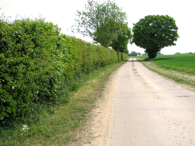
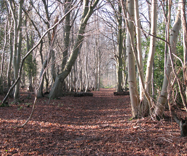
Lawn Wood, also known as Norfolk Wood or Norfolk Forest, is a picturesque woodland located in Norfolk, England. Stretching over an area of approximately 500 acres, it is a haven for nature enthusiasts and outdoor lovers alike.
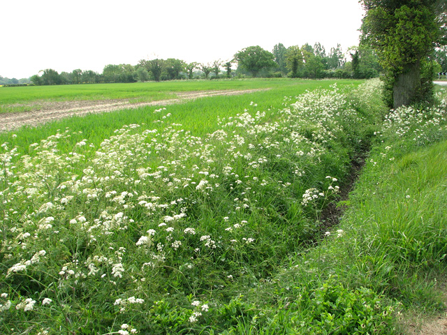
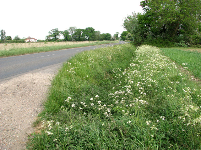
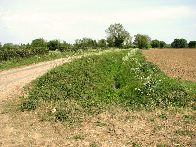
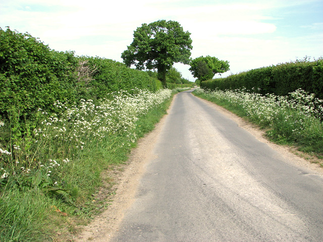
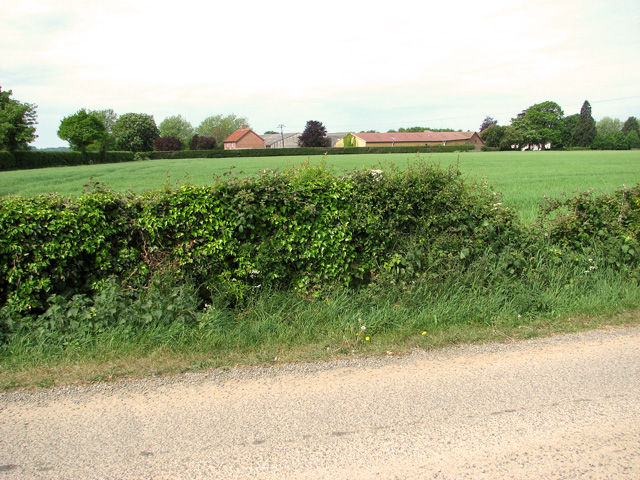
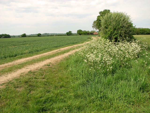
Lawn Wood is characterized by its dense canopy of trees, predominantly consisting of oak, beech, and birch trees. This creates a serene and tranquil atmosphere, perfect for those seeking solace in nature. The woodland floor is covered with a variety of flora, including bluebells, wild garlic, and ferns, adding to the beauty and diversity of the area.
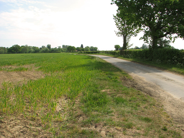
The wood is crisscrossed with a network of well-maintained paths and trails, making it easily accessible for walkers, hikers, and cyclists. These paths lead visitors through the different sections of the wood, showcasing its various habitats and providing opportunities for exploration.
The wood is also home to a rich array of wildlife. It provides a habitat for numerous bird species, such as woodpeckers, owls, and warblers. Roe deer, foxes, and squirrels are also commonly spotted within its boundaries, adding to the charm and allure of the woodland.
Lawn Wood is managed by the local authorities, who ensure its preservation and protection. It is a designated Site of Special Scientific Interest (SSSI), highlighting its ecological importance and value.
Overall, Lawn Wood in Norfolk is a captivating natural haven, offering visitors the chance to immerse themselves in the beauty of ancient woodlands and observe the diverse wildlife that calls it home.
If you have any feedback on the listing, please let us know in the comments section below.
Lawn Wood Images
Images are sourced within 2km of 52.546211/1.1207055 or Grid Reference TM1198. Thanks to Geograph Open Source API. All images are credited.


Lawn Wood is located at Grid Ref: TM1198 (Lat: 52.546211, Lng: 1.1207055)
Administrative County: Norfolk
District: South Norfolk
Police Authority: Norfolk
What 3 Words
///month.gong.prowling. Near Hethel, Norfolk
Nearby Locations
Related Wikis
Wymondham railway station
Wymondham railway station is on the Breckland Line in the East of England, serving the market town of Wymondham, Norfolk. The line runs between Cambridge...

Wymondham Junction railway station
Wymondham Junction railway station is a proposed railway station on the preserved heritage Mid-Norfolk Railway in the English county of Norfolk. The...
Lower Wood, Ashwellthorpe
Lower Wood, Ashwellthorpe is a 37.9-hectare (94-acre) biological Site of Special Scientific Interest south-east of Wymondham in Norfolk. It is managed...
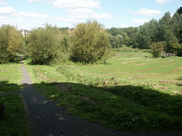
Toll's Meadow, Wymondham
Toll's Meadow, Wymondham is a 1.7-hectare (4.2-acre) Local Nature Reserve in Wymondham in Norfolk. It is owned by Wymondham Town Council and managed by...
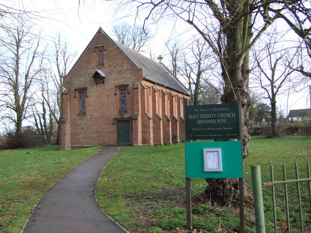
Spooner Row
Spooner Row is a small village, and civil parish, in the English county of Norfolk. It is situated some 5 km (3.1 mi) south-west of the town of Wymondham...

Spooner Row railway station
Spooner Row railway station is on the Breckland line in the East of England, serving the small village of Spooner Row, Norfolk. The line runs between Cambridge...
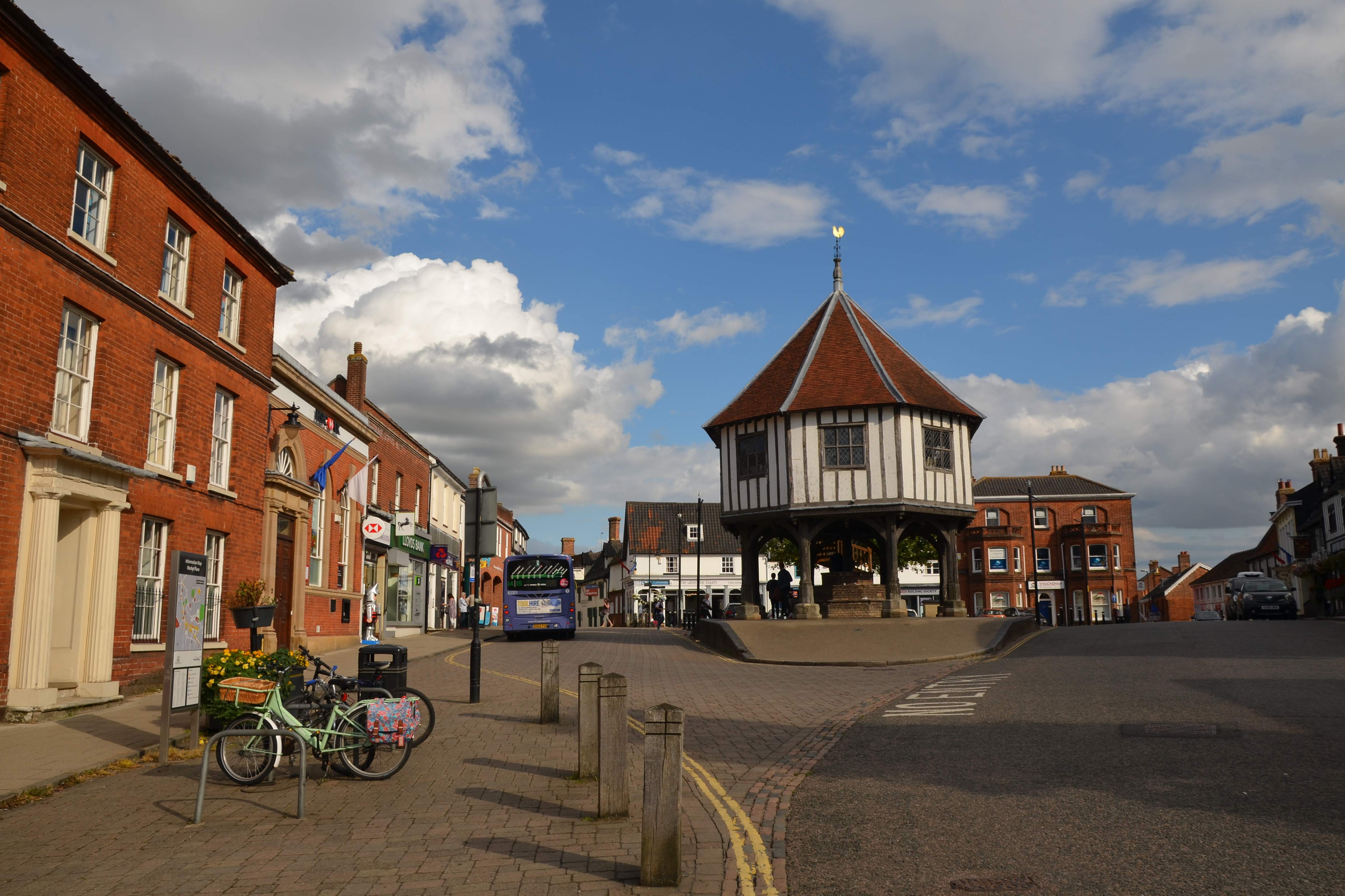
Wymondham
Wymondham ( WIN-dəm) is a market town and civil parish in the South Norfolk district of Norfolk, England, 12 miles (19 km) south-west of Norwich off the...

Wymondham Bridewell
Wymondham Bridewell was the local prison or bridewell in Wymondham, Norfolk. The site was in use as a prison from as early as 1619. The present, grade...
Nearby Amenities
Located within 500m of 52.546211,1.1207055Have you been to Lawn Wood?
Leave your review of Lawn Wood below (or comments, questions and feedback).