Bullock Shed Plantation
Wood, Forest in Norfolk Broadland
England
Bullock Shed Plantation
Bullock Shed Plantation is a sprawling wood and forest located in Norfolk, England. This historic site covers an extensive area of approximately 500 acres and is renowned for its natural beauty and diverse ecosystem. The plantation is situated in close proximity to the village of Bullock Shed, from which it derives its name.
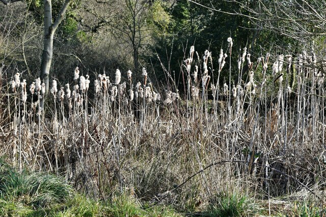
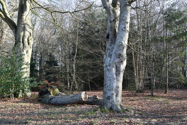
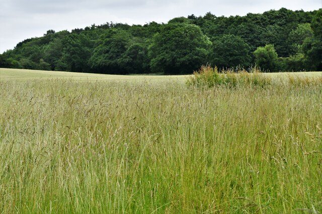
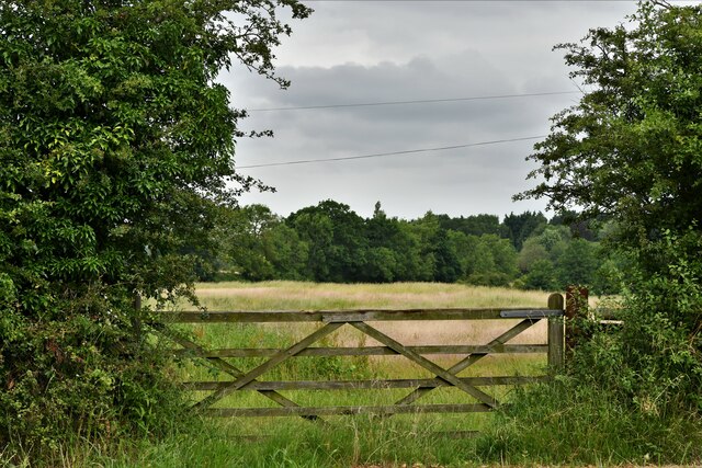
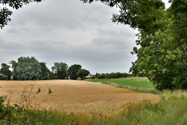
The woodland in Bullock Shed Plantation is dominated by a wide variety of trees, including oak, beech, ash, and birch. These trees create a dense canopy that provides shade and shelter for numerous species of animals and plants. The forest floor is covered with a rich carpet of mosses, ferns, and wildflowers, adding to the enchanting atmosphere of the area.
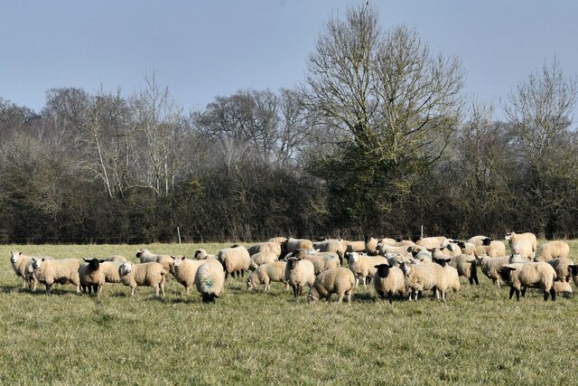
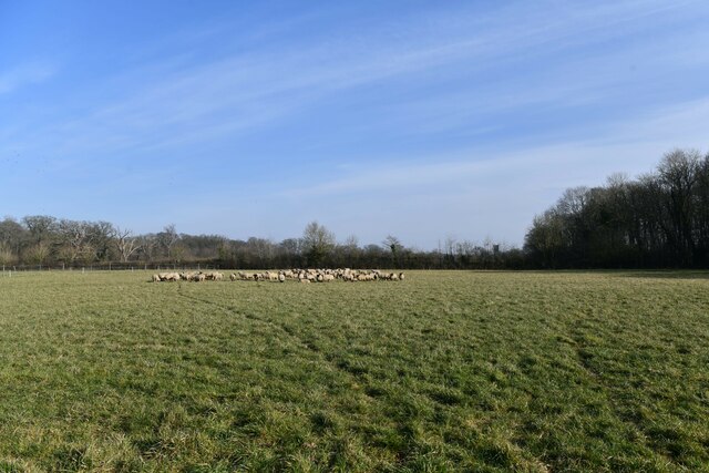
The plantation is also home to a diverse range of wildlife. Visitors to Bullock Shed Plantation may encounter deer, foxes, rabbits, and a variety of bird species. The trees serve as nesting sites for birds such as woodpeckers, owls, and songbirds, filling the air with their melodious calls.
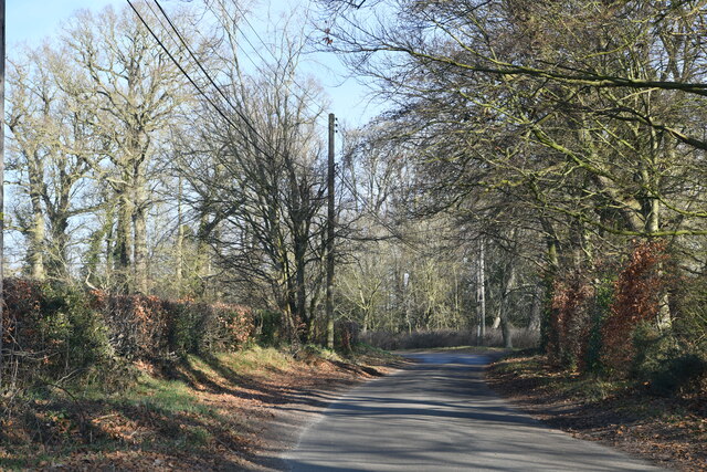
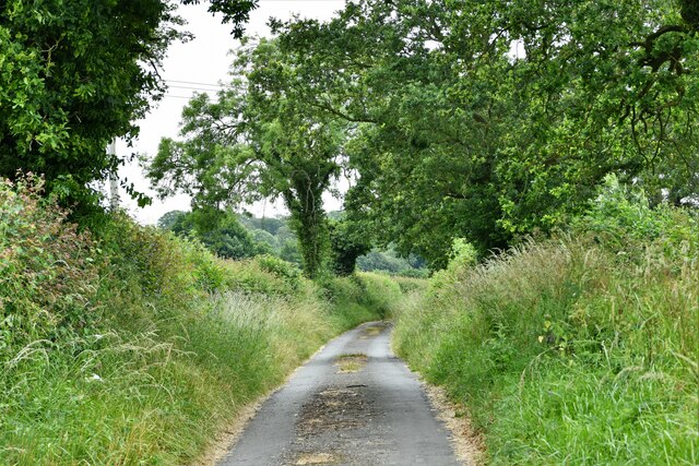
The plantation offers a network of walking trails and paths that allow visitors to explore the woodland at their own pace. These trails wind through the forest, offering glimpses of tranquil ponds, babbling brooks, and picturesque meadows.
Bullock Shed Plantation is not only a place of natural beauty but also holds historical significance. It is believed to have been used for timber production in the past, contributing to the local economy. Today, the plantation is managed by the Norfolk Wildlife Trust, ensuring the preservation of its natural habitat and providing an opportunity for people to connect with nature.
If you have any feedback on the listing, please let us know in the comments section below.
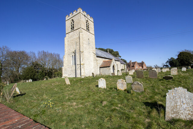
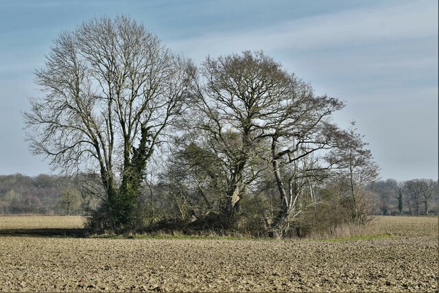
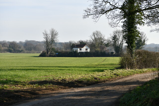
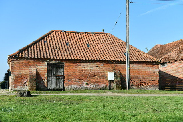
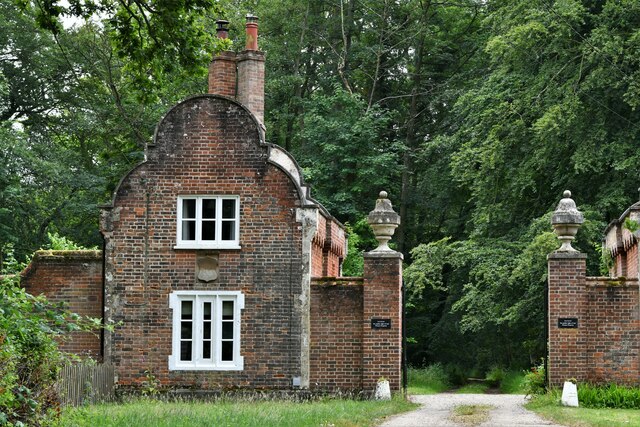
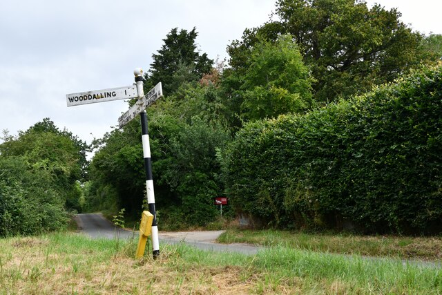
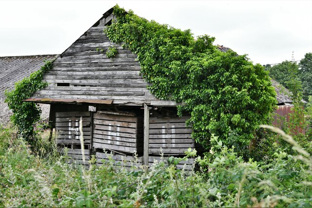
Bullock Shed Plantation Images
Images are sourced within 2km of 52.812893/1.1395345 or Grid Reference TG1128. Thanks to Geograph Open Source API. All images are credited.

Bullock Shed Plantation is located at Grid Ref: TG1128 (Lat: 52.812893, Lng: 1.1395345)
Administrative County: Norfolk
District: Broadland
Police Authority: Norfolk
What 3 Words
///shelving.needed.tour. Near Cawston, Norfolk
Nearby Locations
Related Wikis

Heydon, Norfolk
Heydon is a village and civil parish in Norfolk, England. It is located 3 miles (4.8 km) north of the market town of Reepham. The village can be accessed...

Corpusty and Saxthorpe railway station
Corpusty and Saxthorpe railway station was a railway station in the North Norfolk village of Corpusty. It was opened by the Eastern & Midlands Railway...

Oulton, Norfolk
Oulton is a village and civil parish in Norfolk, England. Nearby towns are Reepham and Aylsham. The parish covers an area of 10.58 km2 (4.08 sq mi) and...

Saxthorpe
Saxthorpe is a village in Norfolk, England. The village is 12 miles (19 km) west south west of Cromer and 16.3 miles (26.2 km) north north west of Norwich...
Nearby Amenities
Located within 500m of 52.812893,1.1395345Have you been to Bullock Shed Plantation?
Leave your review of Bullock Shed Plantation below (or comments, questions and feedback).