American Plantation
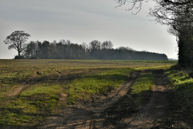
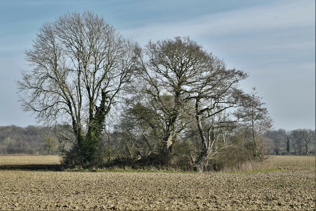
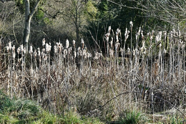
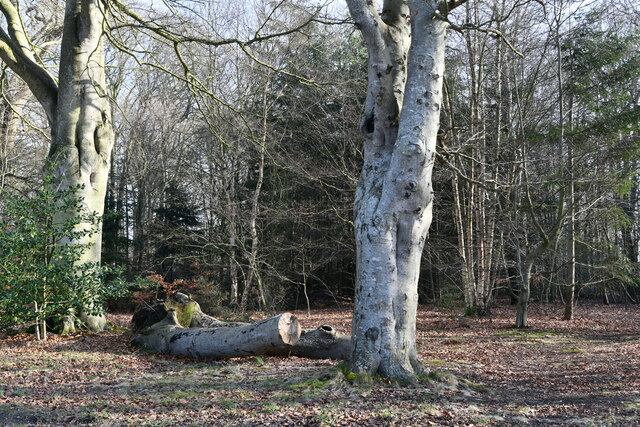
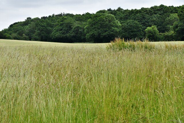
Wood, Forest in Norfolk Broadland
England
American Plantation

American Plantation, Norfolk is a vast expanse of land located in the southeastern region of the state of Virginia, United States. This plantation, also known as Wood or Forest, spans over thousands of acres and is renowned for its rich historical significance and natural beauty.
Established during the colonial period, American Plantation served as a hub for agricultural activities, primarily centered around the cultivation of tobacco, cotton, and other cash crops. The fertile soil and favorable climate of the region made it an ideal location for plantation farming, attracting settlers and laborers alike.
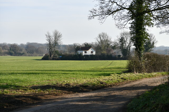
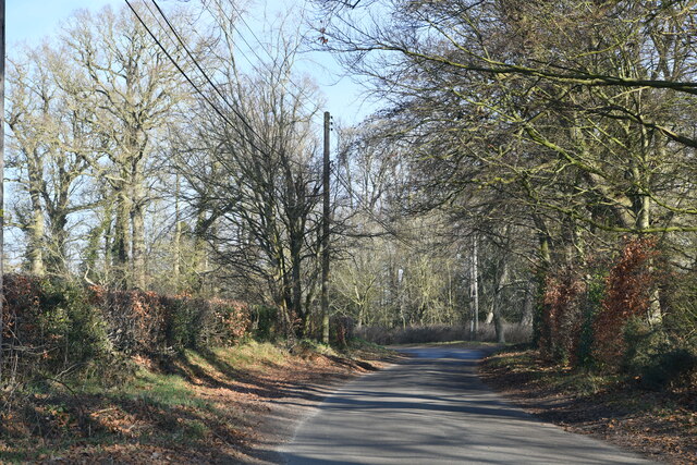
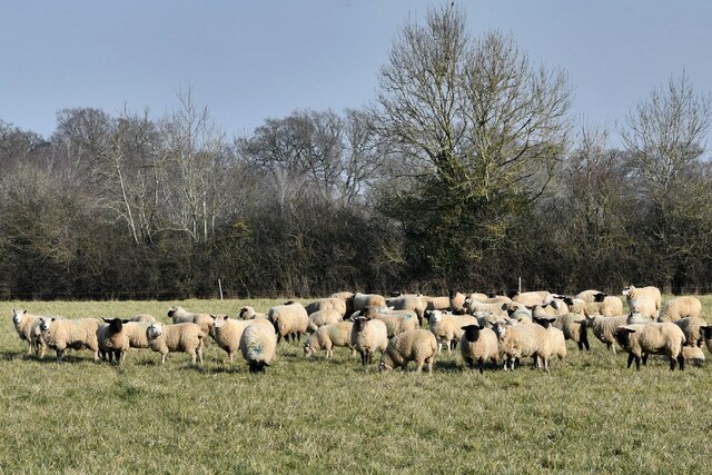
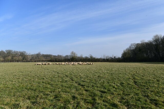
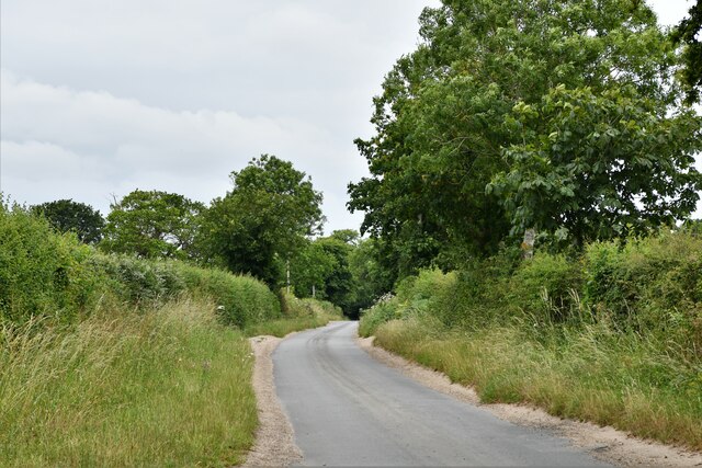
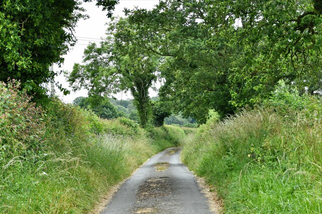
The plantation features a diverse landscape, characterized by sprawling fields, dense forests, and meandering rivers. The lush greenery and abundant wildlife make it a popular destination for nature enthusiasts and outdoor recreation.
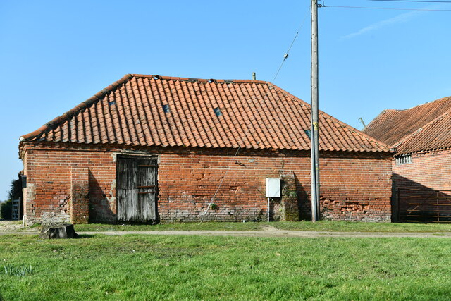
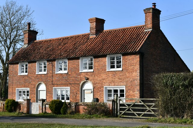
Over the years, American Plantation has witnessed significant transformations as the agricultural practices evolved. With the decline of traditional plantation farming, the land has been repurposed for other uses, including residential and commercial development. However, efforts have been made to preserve the historical integrity of the plantation, with several structures and landmarks from the colonial era still standing.
Visitors to American Plantation can explore its picturesque surroundings, take guided tours to learn about its historical significance, and enjoy recreational activities like hiking, bird watching, and fishing. The plantation serves as a reminder of America's colonial past and continues to be an important cultural and natural heritage site in Norfolk, Virginia.
If you have any feedback on the listing, please let us know in the comments section below.
American Plantation Images
Images are sourced within 2km of 52.798083/1.1353661 or Grid Reference TG1126. Thanks to Geograph Open Source API. All images are credited.


American Plantation is located at Grid Ref: TG1126 (Lat: 52.798083, Lng: 1.1353661)
Administrative County: Norfolk
District: Broadland
Police Authority: Norfolk
What 3 Words
///horseshoe.promise.improves. Near Cawston, Norfolk
Nearby Locations
Related Wikis

Heydon, Norfolk
Heydon is a village and civil parish in Norfolk, England. It is located 3 miles (4.8 km) north of the market town of Reepham. The village can be accessed...

Salle, Norfolk
Salle ( SAWL) is a small village and civil parish in the Broadland district, in the county of Norfolk, England. 1.5 miles (2.4 km) to the south is the...

Salle Park
Salle Park is a country house in Norfolk, England, near the village of Salle and about 10 miles (16 km) north-west of Norwich. The house is a Grade II...

Wood Dalling
Wood Dalling is a village and civil parish in Norfolk, England. It is located 8 miles (13 km) south of Holt and 3 miles (4.8 km) north of Reepham, the...

Bluestone railway station
Bluestone railway station was a station in Norfolk, England. It was on the Midland and Great Northern Joint Railway between Corpusty and Aylsham North...

Oulton, Norfolk
Oulton is a village and civil parish in Norfolk, England. Nearby towns are Reepham and Aylsham. The parish covers an area of 10.58 km2 (4.08 sq mi) and...

RAF Oulton
Royal Air Force Oulton or more simply RAF Oulton is a former Royal Air Force satellite station located 3 miles (4.8 km) west of Aylsham, Norfolk and 12...

Corpusty and Saxthorpe railway station
Corpusty and Saxthorpe railway station was a railway station in the North Norfolk village of Corpusty. It was opened by the Eastern & Midlands Railway...
Related Videos
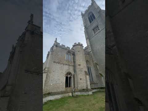

Salle
The wonderful church of St Peter and St Paul's, Salle. To subscribe and see other videos of Beautiful Norfolk click here: ...

Autumn at Salle
St Peter & St Paul Church.
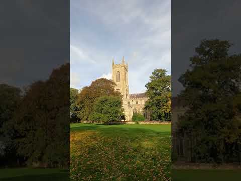
Autumn at Salle church #shorts
Surely one of the finest churches in England.
Nearby Amenities
Located within 500m of 52.798083,1.1353661Have you been to American Plantation?
Leave your review of American Plantation below (or comments, questions and feedback).