Brookdish Plantation
Wood, Forest in Norfolk Broadland
England
Brookdish Plantation

The requested URL returned error: 429 Too Many Requests
If you have any feedback on the listing, please let us know in the comments section below.
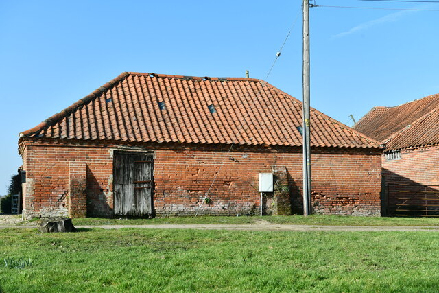
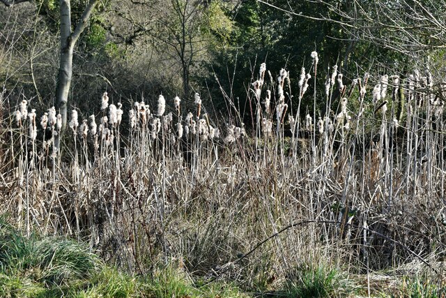
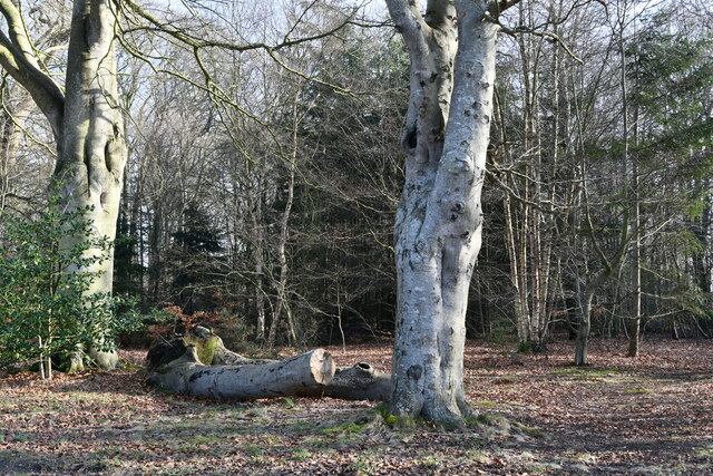
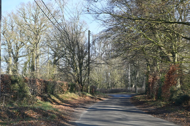
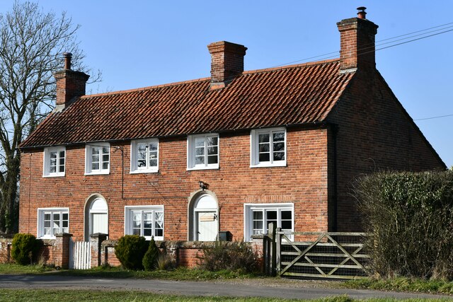
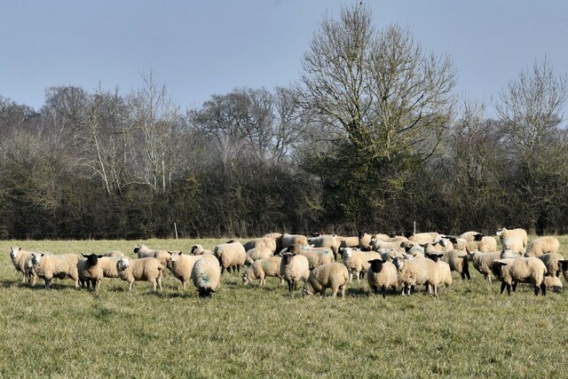
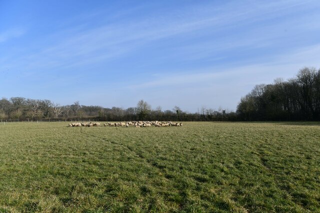
Brookdish Plantation Images
Images are sourced within 2km of 52.794972/1.1421597 or Grid Reference TG1126. Thanks to Geograph Open Source API. All images are credited.


Brookdish Plantation is located at Grid Ref: TG1126 (Lat: 52.794972, Lng: 1.1421597)
Administrative County: Norfolk
District: Broadland
Police Authority: Norfolk
What 3 Words
///cubed.inhaler.catching. Near Cawston, Norfolk
Nearby Locations
Related Wikis

Heydon, Norfolk
Heydon is a village and civil parish in Norfolk, England. It is located 3 miles (4.8 km) north of the market town of Reepham. The village can be accessed...

Salle, Norfolk
Salle ( SAWL) is a small village and civil parish in the Broadland district, in the county of Norfolk, England. 1.5 miles (2.4 km) to the south is the...

Salle Park
Salle Park is a country house in Norfolk, England, near the village of Salle and about 10 miles (16 km) north-west of Norwich. The house is a Grade II...

Bluestone railway station
Bluestone railway station was a station in Norfolk, England. It was on the Midland and Great Northern Joint Railway between Corpusty and Aylsham North...
Nearby Amenities
Located within 500m of 52.794972,1.1421597Have you been to Brookdish Plantation?
Leave your review of Brookdish Plantation below (or comments, questions and feedback).