The Rookery
Wood, Forest in Norfolk Broadland
England
The Rookery
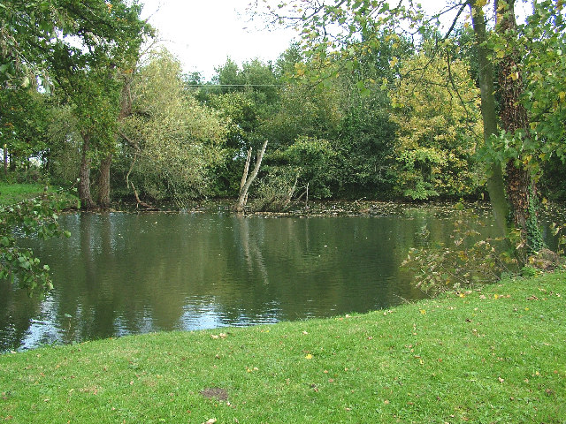
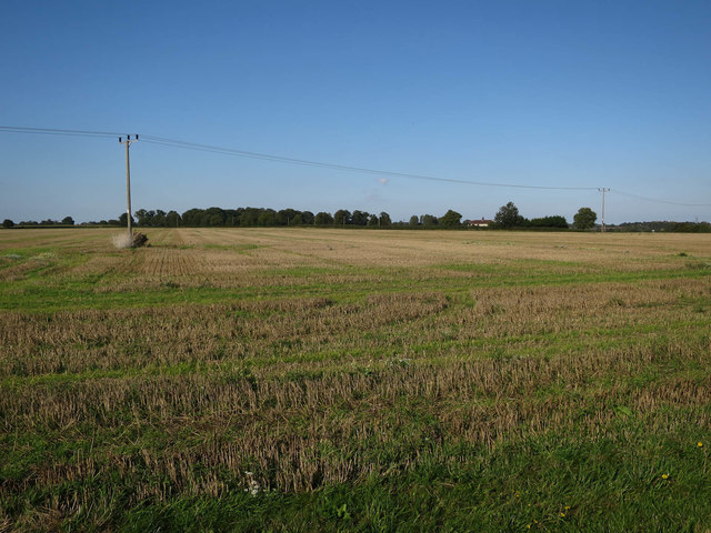
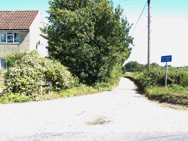
The Rookery, located in Norfolk, is a picturesque wood or forest area that offers a serene and tranquil environment for nature enthusiasts. Spanning over a vast expanse of land, The Rookery is characterized by its dense foliage consisting of towering trees, lush greenery, and an abundance of wildlife.
The woodland is home to a diverse range of flora and fauna, with a variety of tree species such as oak, beech, and ash dominating the landscape. The forest floor is adorned with a plethora of wildflowers, ferns, and moss, creating a vibrant and colorful carpet under the canopy.
The Rookery is not only visually appealing but also provides a habitat for numerous animal species. Birdwatchers will find delight in the avian population, including species like the great spotted woodpecker, tawny owl, and various songbirds. The forest is also inhabited by mammals such as deer, foxes, badgers, and squirrels, which can often be spotted during walks or hikes through the woodland.
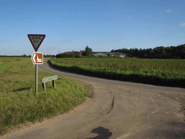
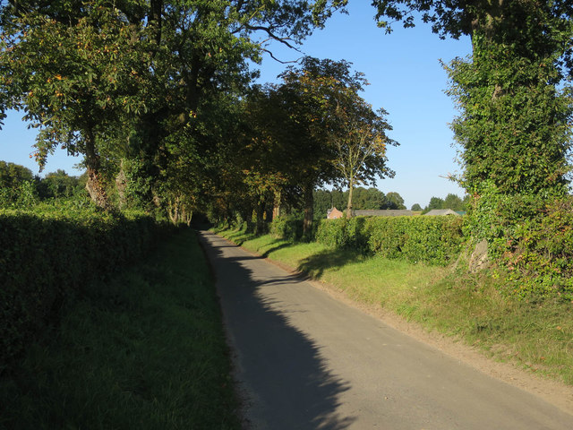
Visitors to The Rookery can enjoy a range of outdoor activities, including walking trails, nature photography, and birdwatching. The forest is crisscrossed with well-maintained paths that lead visitors through different sections, allowing them to explore the beauty and tranquility of the woodlands.
Overall, The Rookery in Norfolk is a captivating wood or forest area that offers a haven of natural beauty, providing a peaceful escape from the hustle and bustle of everyday life.
If you have any feedback on the listing, please let us know in the comments section below.
The Rookery Images
Images are sourced within 2km of 52.748932/1.1307663 or Grid Reference TG1121. Thanks to Geograph Open Source API. All images are credited.


The Rookery is located at Grid Ref: TG1121 (Lat: 52.748932, Lng: 1.1307663)
Administrative County: Norfolk
District: Broadland
Police Authority: Norfolk
What 3 Words
///ties.give.hydration. Near Reepham, Norfolk
Nearby Locations
Related Wikis
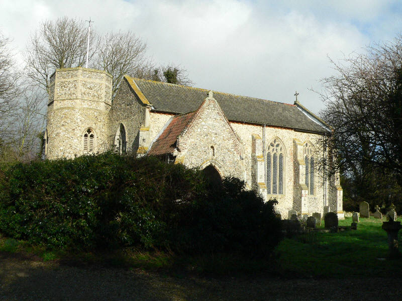
Little Witchingham
Little Witchingham is a village and civil parish in the English county of Norfolk. It covers an area of 3.01 km2 (1.16 sq mi) and had a population of 36...
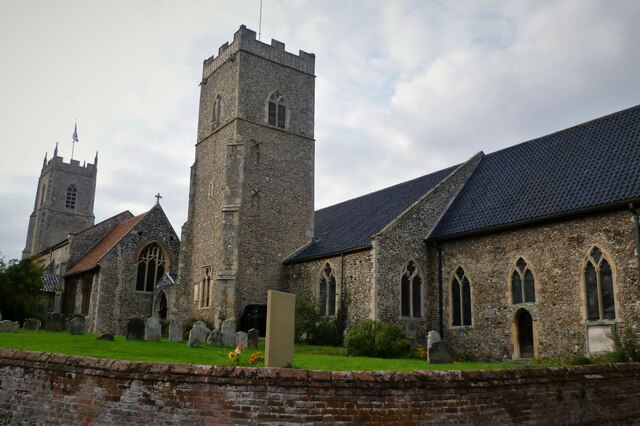
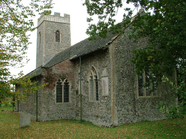
St Faith's Church, Little Witchingham
St Faith's Church is a redundant Anglican church in the village of Little Witchingham in Norfolk, England. It is recorded in the National Heritage List...
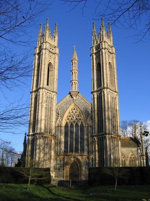
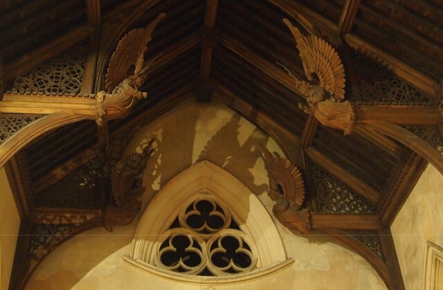
St Michael the Archangel's Church, Booton
St Michael the Archangel's Church is a redundant Anglican church near the village of Booton, Norfolk, England. It is listed in the National Heritage List...

Booton, Norfolk
Booton is a village and civil parish in the Broadland district of Norfolk, England, just east of Reepham and seven miles west of Aylsham. According to...

Booton Common
Booton Common'' is an 8.2-hectare (20-acre) biological Site of Special Scientific Interest north-west of Norwich in Norfolk. It is managed by the Norfolk...
Brandiston
Brandiston is a small village and civil parish near the centre of the county of Norfolk, England, about two miles south-east of the small market town of...
Reepham High School and College
Reepham High School and College is a secondary school and sixth form with academy status located in Reepham, Norfolk. The majority of the students live...

Reepham, Norfolk
Reepham () is a market town and civil parish in the Broadland district of Norfolk, England. Reepham is situated on the B1145 road between the Bure and...
Nearby Amenities
Located within 500m of 52.748932,1.1307663Have you been to The Rookery?
Leave your review of The Rookery below (or comments, questions and feedback).