Bite's Pithole
Wood, Forest in Norfolk Broadland
England
Bite's Pithole

Bite's Pithole, located in Norfolk, England, is a dense woodland area known for its natural beauty and rich biodiversity. Covering an approximate area of 200 acres, this forest is a tranquil haven for nature enthusiasts and hikers alike.
The forest is predominantly composed of deciduous trees, such as oak, beech, and birch, creating a vibrant and ever-changing landscape throughout the seasons. The lush undergrowth is home to a diverse range of plant species, including bluebells, foxgloves, and ferns, adding to the area's visual appeal.
Bite's Pithole is also renowned for its thriving wildlife population. Birdwatchers can spot a variety of avian species, such as woodpeckers, owls, and various songbirds, while small mammals like squirrels and rabbits scurry amongst the trees. The forest is also known to house elusive creatures like badgers and deer, adding an air of mystery to the area.
Several well-marked trails crisscross the forest, providing visitors with scenic routes to explore the natural wonders of Bite's Pithole. These trails offer opportunities for leisurely walks, challenging hikes, and even cycling adventures. Along the way, visitors can enjoy picturesque views of meandering streams, ancient stone walls, and towering trees.
Bite's Pithole is a beloved destination for locals and tourists alike, offering a peaceful retreat from the bustling city life. With its diverse flora and fauna, well-maintained trails, and enchanting atmosphere, this woodland area provides a truly immersive and rejuvenating experience for nature enthusiasts.
If you have any feedback on the listing, please let us know in the comments section below.
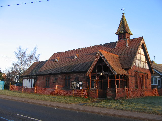
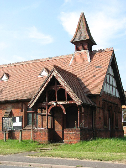
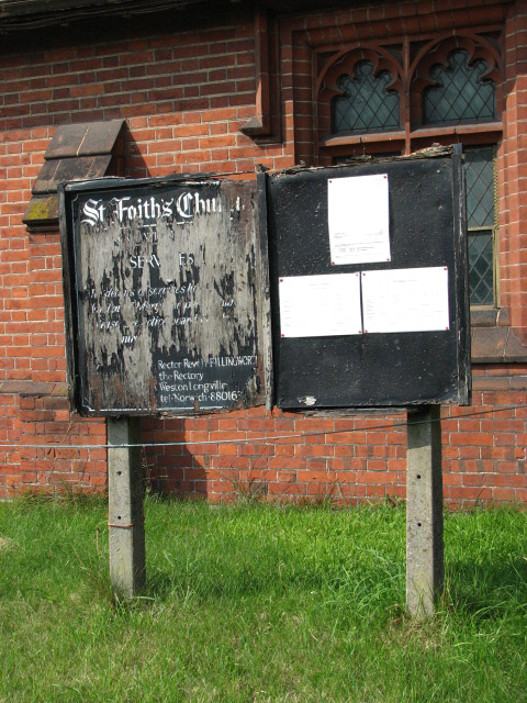
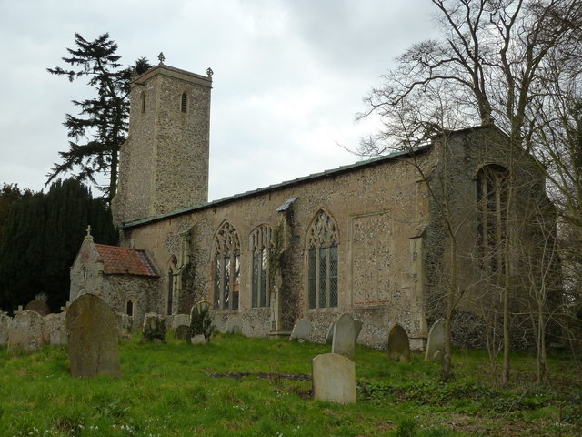
Bite's Pithole Images
Images are sourced within 2km of 52.727524/1.1292314 or Grid Reference TG1119. Thanks to Geograph Open Source API. All images are credited.


Bite's Pithole is located at Grid Ref: TG1119 (Lat: 52.727524, Lng: 1.1292314)
Administrative County: Norfolk
District: Broadland
Police Authority: Norfolk
What 3 Words
///covenants.splint.gasp. Near Reepham, Norfolk
Nearby Locations
Related Wikis

River Ainse (or Eyn)
The River Ainse (or Eyn) is a small river in the county of Norfolk. It is a tributary of the River Wensum which it merges with at Lenwade. The River Ainse...

Alderford
Alderford is a village and civil parish in the English county of Norfolk, about ten miles (16 km) north-west of Norwich. The name 'Alderford' derives from...
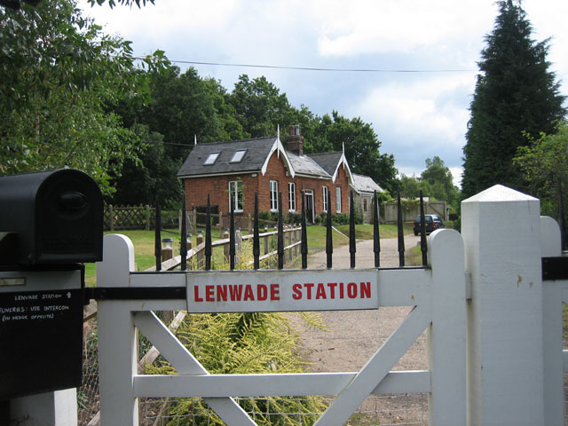
Lenwade railway station
Lenwade railway station was a railway station in North Norfolk, England. It was built by the Lynn and Fakenham Railway Company in 1882 and taken over by...
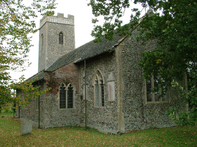
St Faith's Church, Little Witchingham
St Faith's Church is a redundant Anglican church in the village of Little Witchingham in Norfolk, England. It is recorded in the National Heritage List...
Great Witchingham
Great Witchingham is a village and civil parish in the English county of Norfolk about 11 miles (18 km) north-west of Norwich. It covers an area of 9.12...

Lenwade
Lenwade is a village in the civil parish of Great Witchingham, Norfolk, situated in the Wensum Valley adjacent to the A1067 road 14 miles (23 km) south...

Alderford Common
Alderford Common is a 17.5-hectare (43-acre) biological Site of Special Scientific Interest north-west of Norwich in Norfolk.The common has a thin layer...
Little Witchingham
Little Witchingham is a village and civil parish in the English county of Norfolk. It covers an area of 3.01 km2 (1.16 sq mi) and had a population of 36...
Nearby Amenities
Located within 500m of 52.727524,1.1292314Have you been to Bite's Pithole?
Leave your review of Bite's Pithole below (or comments, questions and feedback).