Sandyhill Covert
Wood, Forest in Norfolk Broadland
England
Sandyhill Covert
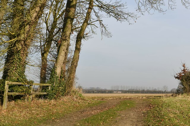
Sandyhill Covert is a picturesque woodland located in Norfolk, England. This ancient woodland covers an area of approximately 100 acres and is known for its diverse and thriving ecosystem. The covert is nestled within the scenic Norfolk countryside, offering visitors a tranquil and serene escape from the hustle and bustle of everyday life.
The sandy soil in this area contributes to the unique character of the woodland, supporting a variety of flora and fauna. The canopy is dominated by a mix of deciduous and coniferous trees, including oak, beech, pine, and birch, creating a rich tapestry of colors throughout the seasons. Bluebells, primroses, and wild garlic carpet the forest floor in spring, while ferns and mosses thrive in the damp and shaded areas.
Sandyhill Covert is a haven for wildlife enthusiasts, as it provides a habitat for a wide range of species. Birdwatchers may spot woodpeckers, nuthatches, and the elusive tawny owl, while lucky visitors may encounter deer, squirrels, and even badgers or foxes. The woodland also houses a variety of insects, including butterflies and dragonflies.
The woodland is crisscrossed by a network of footpaths, allowing visitors to explore its beauty at their own pace. These paths lead to stunning viewpoints, where one can admire the surrounding countryside and enjoy the peaceful ambiance of the forest. Sandyhill Covert is also home to a small picnic area, providing an ideal spot for visitors to relax and enjoy a packed lunch amidst nature.
Overall, Sandyhill Covert is a precious natural gem in Norfolk, offering a tranquil escape and a chance to immerse oneself in the beauty of a diverse woodland ecosystem.
If you have any feedback on the listing, please let us know in the comments section below.
Sandyhill Covert Images
Images are sourced within 2km of 52.730525/1.1313723 or Grid Reference TG1119. Thanks to Geograph Open Source API. All images are credited.


Sandyhill Covert is located at Grid Ref: TG1119 (Lat: 52.730525, Lng: 1.1313723)
Administrative County: Norfolk
District: Broadland
Police Authority: Norfolk
What 3 Words
///cargo.bolsters.streak. Near Reepham, Norfolk
Nearby Locations
Related Wikis
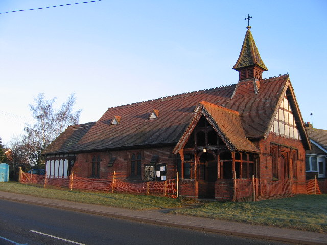
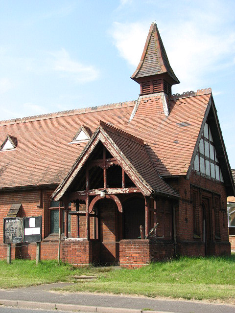
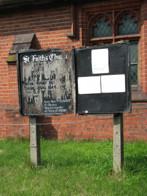
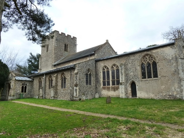
St Faith's Church, Little Witchingham
St Faith's Church is a redundant Anglican church in the village of Little Witchingham in Norfolk, England. It is recorded in the National Heritage List...

River Ainse (or Eyn)
The River Ainse (or Eyn) is a small river in the county of Norfolk. It is a tributary of the River Wensum which it merges with at Lenwade. The River Ainse...

Alderford
Alderford is a village and civil parish in the English county of Norfolk, about ten miles (16 km) north-west of Norwich. The name 'Alderford' derives from...
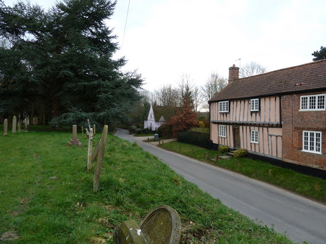
Little Witchingham
Little Witchingham is a village and civil parish in the English county of Norfolk. It covers an area of 3.01 km2 (1.16 sq mi) and had a population of 36...
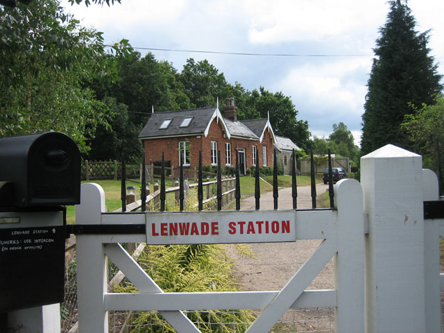
Lenwade railway station
Lenwade railway station was a railway station in North Norfolk, England. It was built by the Lynn and Fakenham Railway Company in 1882 and taken over by...
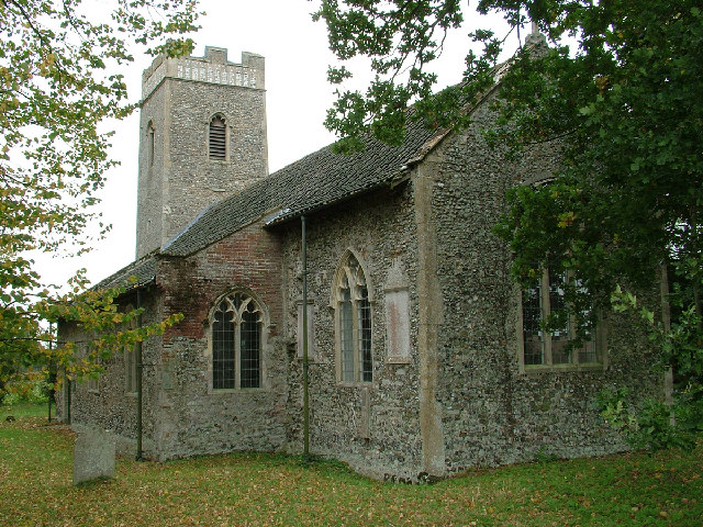
Great Witchingham
Great Witchingham is a village and civil parish in the English county of Norfolk about 11 miles (18 km) north-west of Norwich. It covers an area of 9.12...

Alderford Common
Alderford Common is a 17.5-hectare (43-acre) biological Site of Special Scientific Interest north-west of Norwich in Norfolk.The common has a thin layer...

Lenwade
Lenwade is a village in the civil parish of Great Witchingham, Norfolk, situated in the Wensum Valley adjacent to the A1067 road 14 miles (23 km) south...
Nearby Amenities
Located within 500m of 52.730525,1.1313723Have you been to Sandyhill Covert?
Leave your review of Sandyhill Covert below (or comments, questions and feedback).