Churchfield Plantation
Wood, Forest in Suffolk Mid Suffolk
England
Churchfield Plantation

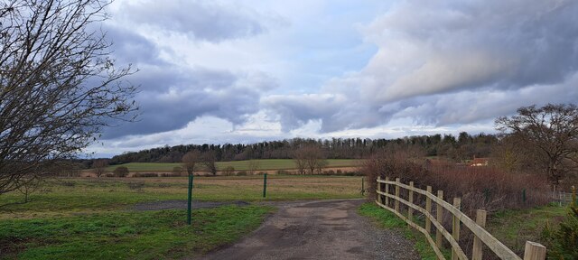
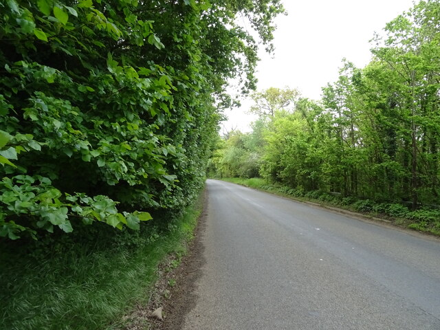
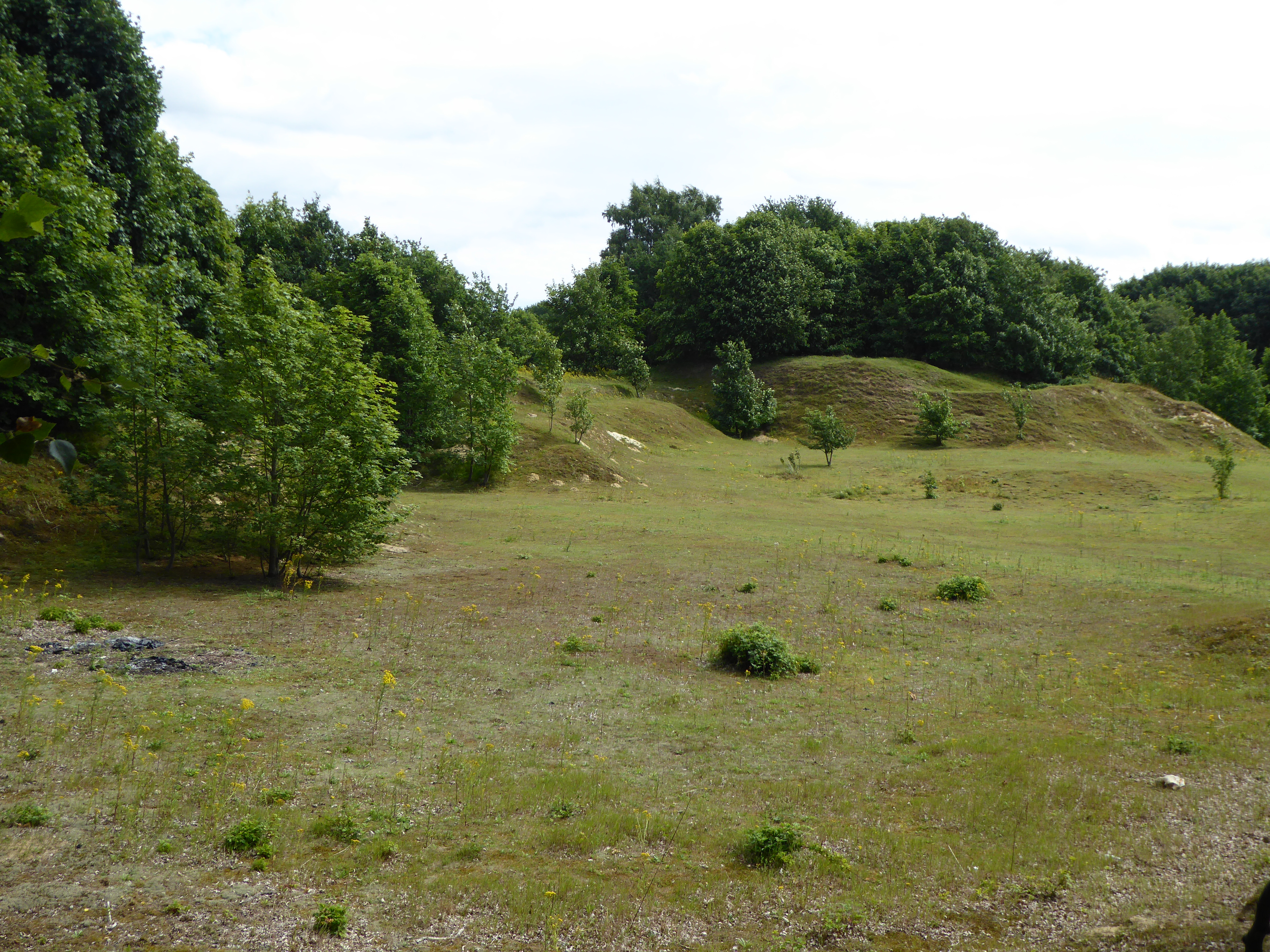
Churchfield Plantation is a picturesque woodland area located in Suffolk, England. Covering an expansive area, the plantation is a haven for nature enthusiasts and outdoor lovers alike. The woodland is predominantly composed of native broad-leaved trees, including oak, beech, and birch, creating a diverse and vibrant ecosystem.
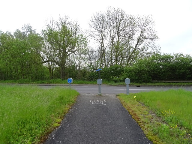
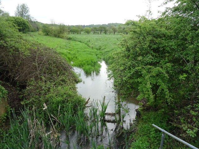
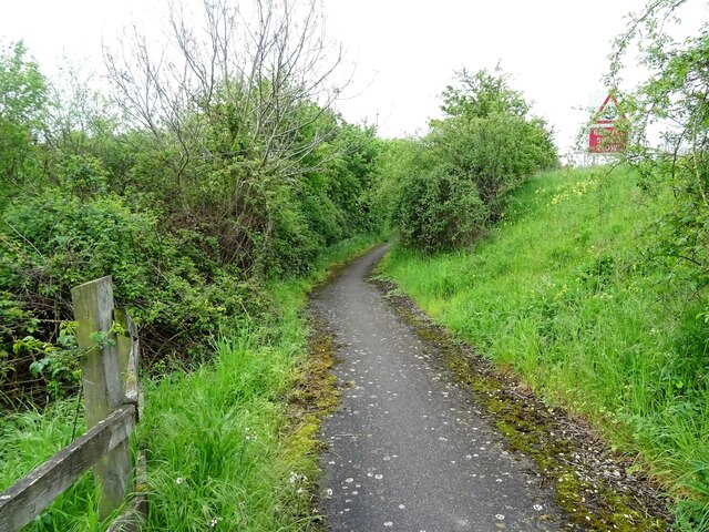
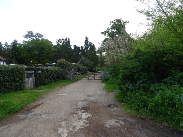
The plantation offers a range of walking trails, allowing visitors to explore the enchanting woodland at their own pace. These trails wind through the thick undergrowth, leading to hidden clearings and serene ponds. The paths are well-maintained, making it accessible for both casual strollers and avid hikers.
Wildlife thrives in Churchfield Plantation, with various species making their homes within the dense forest. Birdwatchers can spot a variety of feathered creatures, such as woodpeckers, owls, and songbirds. The woodland is also home to small mammals, including squirrels, rabbits, and foxes, which can often be seen darting through the underbrush.
Churchfield Plantation holds historical significance as well, with remnants of ancient settlements scattered throughout the woodland. Archaeological findings from the area suggest that it was inhabited by humans as far back as the Bronze Age. These historical remnants add a layer of intrigue and provide an insight into the area's rich past.
Overall, Churchfield Plantation serves as a tranquil escape from the hustle and bustle of everyday life. Its natural beauty, diverse flora and fauna, and historical significance make it a must-visit destination for nature lovers and history enthusiasts in Suffolk.
If you have any feedback on the listing, please let us know in the comments section below.
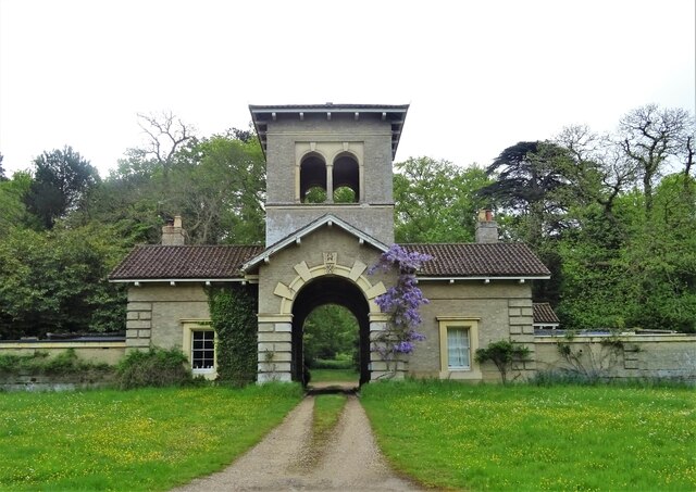
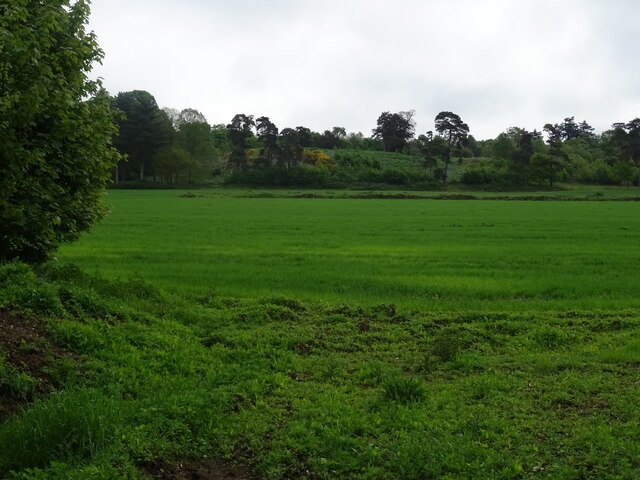
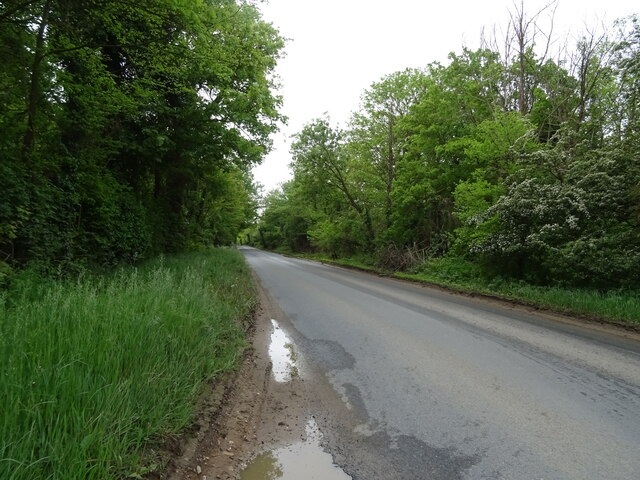
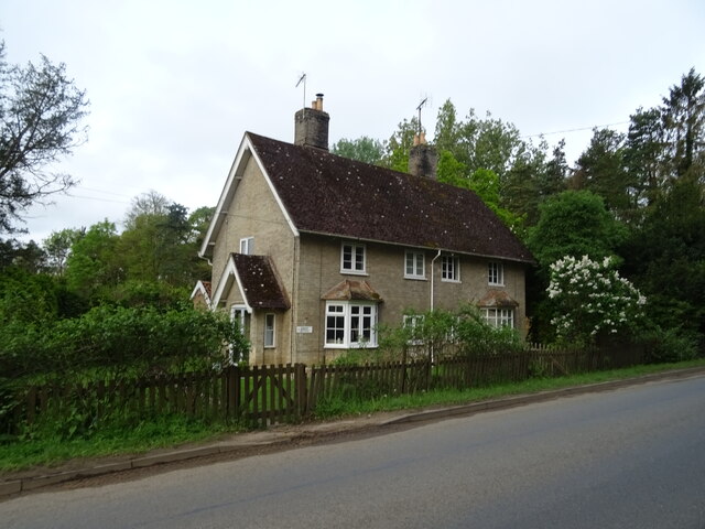
Churchfield Plantation Images
Images are sourced within 2km of 52.142283/1.0855726 or Grid Reference TM1153. Thanks to Geograph Open Source API. All images are credited.


Churchfield Plantation is located at Grid Ref: TM1153 (Lat: 52.142283, Lng: 1.0855726)
Administrative County: Suffolk
District: Mid Suffolk
Police Authority: Suffolk
What 3 Words
///profited.brightens.cherry. Near Needham Market, Suffolk
Nearby Locations
Related Wikis
Darmsden
Darmsden is a hamlet and civil parish in the Mid Suffolk district of Suffolk, England. Located near the A14 road around 2 kilometres (1 mi) south of the...

Bosmere and Claydon Hundred
Bosmere and Claydon was a hundred of Suffolk, consisting of 31,850 acres (128.9 km2).The hundred is a fertile and picturesque district varying from 8 to...

Baylham
Baylham is a village and civil parish, 1,349 acres size, in the Mid Suffolk district of Suffolk, England, about 7 miles (11 km) northwest of Ipswich and...

Bosmere and Claydon Rural District
Bosmere and Claydon Rural District was a rural district within the administrative county of East Suffolk between 1894 and 1934. It was created out of the...

Shrubland Hall
Shrubland Hall, Coddenham, Suffolk, is a historic English country house with planned gardens in Suffolk, England, built in the 1770s. The Hall was used...
Shrubland Hall Anglo-Saxon cemetery
Shrubland Hall Anglo-Saxon cemetery is a 7th-century Anglo-Saxon burial site discovered at Shrubland Hall Quarry near Coddenham, Suffolk. The cemetery...

Needham Lake
Needham Lake is a 9.9 hectare Local Nature Reserve in Needham Market in Suffolk. It is owned and managed by Mid Suffolk District Council. It is a Regionally...
Creeting St Mary Pits
Creeting St Mary Pits is a 5.4-hectare (13-acre) geological Site of Special Scientific Interest south Creeting St Mary in Suffolk, England. It is a Geological...
Nearby Amenities
Located within 500m of 52.142283,1.0855726Have you been to Churchfield Plantation?
Leave your review of Churchfield Plantation below (or comments, questions and feedback).