John's Wood
Wood, Forest in Suffolk Mid Suffolk
England
John's Wood

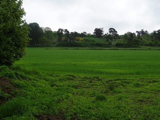
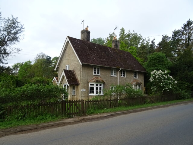
John's Wood is a picturesque woodland area located in Suffolk, England. Spanning over several acres, it is known for its natural beauty and serene atmosphere. The woodland is situated in a rural setting, surrounded by rolling hills and countryside, making it an ideal destination for nature enthusiasts and outdoor lovers.
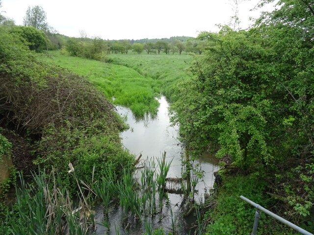
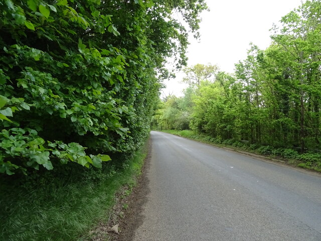
John's Wood is characterized by its diverse range of tree species, including oak, beech, and birch trees, which create a dense and lush forest canopy. The woodland floor is covered in a carpet of wildflowers, providing a vibrant burst of colors during the spring and summer months. The area is also home to various wildlife, such as deer, rabbits, and a wide variety of bird species, making it a haven for wildlife enthusiasts and birdwatchers.
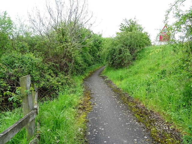
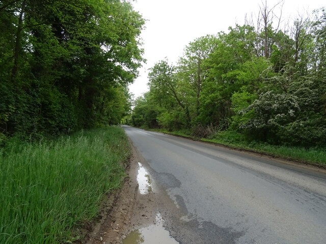
The wood offers a network of walking trails and footpaths, allowing visitors to explore and immerse themselves in the tranquil surroundings. These paths wind through the woodland, providing scenic views of the surrounding countryside and glimpses of wildlife along the way. The wood also boasts a small stream that meanders through its heart, adding to its natural charm.
John's Wood is a popular destination for outdoor activities such as hiking, picnicking, and photography. It offers a peaceful retreat from the hustle and bustle of city life and provides an opportunity for visitors to reconnect with nature. Whether it's a leisurely stroll or a more adventurous hike, John's Wood offers an enchanting experience for all who visit.
If you have any feedback on the listing, please let us know in the comments section below.
John's Wood Images
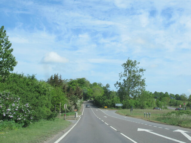
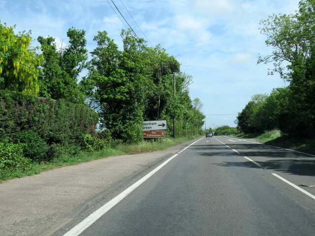
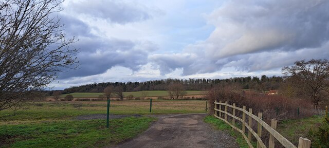
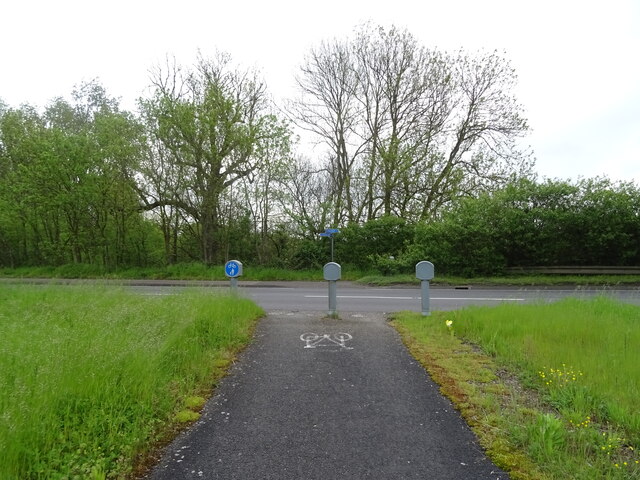
Images are sourced within 2km of 52.143501/1.093653 or Grid Reference TM1153. Thanks to Geograph Open Source API. All images are credited.


John's Wood is located at Grid Ref: TM1153 (Lat: 52.143501, Lng: 1.093653)
Administrative County: Suffolk
District: Mid Suffolk
Police Authority: Suffolk
What 3 Words
///blush.reprints.goods. Near Needham Market, Suffolk
Related Wikis

Bosmere and Claydon Hundred
Bosmere and Claydon was a hundred of Suffolk, consisting of 31,850 acres (128.9 km2).The hundred is a fertile and picturesque district varying from 8 to...

Bosmere and Claydon Rural District
Bosmere and Claydon Rural District was a rural district within the administrative county of East Suffolk between 1894 and 1934. It was created out of the...
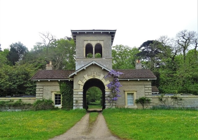
Shrubland Hall Anglo-Saxon cemetery
Shrubland Hall Anglo-Saxon cemetery is a 7th-century Anglo-Saxon burial site discovered at Shrubland Hall Quarry near Coddenham, Suffolk. The cemetery...

Shrubland Hall
Shrubland Hall, Coddenham, Suffolk, is a historic English country house with planned gardens in Suffolk, England, built in the 1770s. The Hall was used...
Have you been to John's Wood?
Leave your review of John's Wood below (or comments, questions and feedback).