Bellfield Plantation
Wood, Forest in Suffolk Mid Suffolk
England
Bellfield Plantation
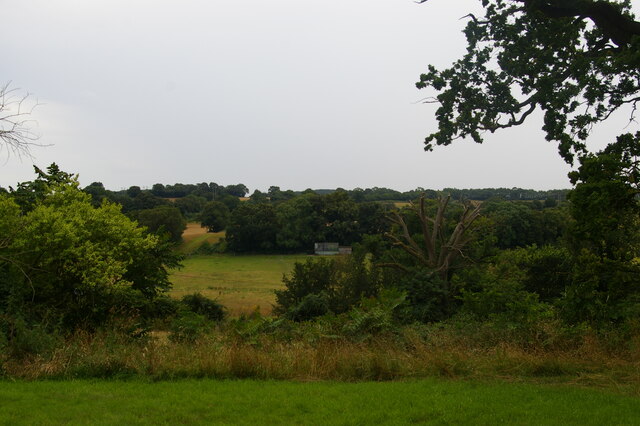
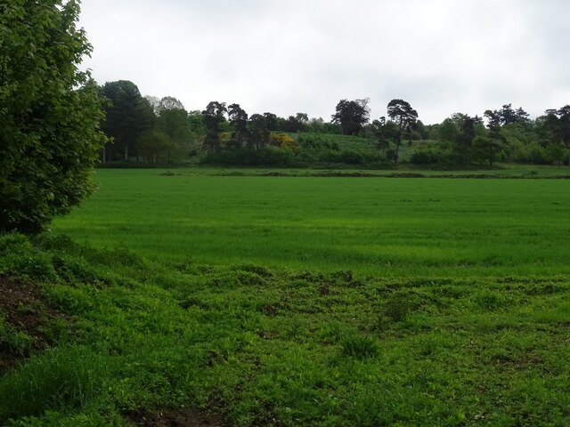
Bellfield Plantation is a picturesque woodland located in Suffolk, England. Covering an area of approximately 100 acres, it is renowned for its natural beauty and rich biodiversity. The plantation is situated in a rural area, surrounded by rolling hills and meandering streams, creating a tranquil and serene environment.
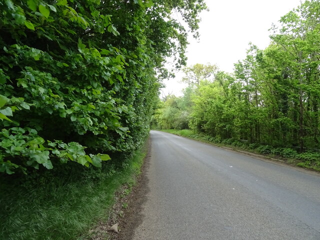
The woodland consists mainly of broadleaf trees, including oak, beech, and ash, which provide a dense canopy and create a cool and shady atmosphere. The forest floor is covered with a diverse array of wildflowers, ferns, and mosses, adding to the enchanting beauty of the plantation.
Bellfield Plantation is home to a variety of wildlife species. The dense vegetation offers a safe haven for numerous bird species, such as woodpeckers, owls, and warblers. Mammals like deer, foxes, and badgers can also be spotted roaming through the woodland.
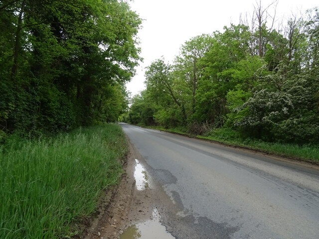
The plantation offers several well-marked walking trails, allowing visitors to explore the beauty of the forest at their own pace. These trails wind through the woodland, offering stunning views of the surrounding landscape. There are also picnic areas and benches strategically placed for visitors to relax and enjoy the peaceful ambiance.
Bellfield Plantation is not only a haven for nature enthusiasts but also plays a crucial role in preserving the local ecosystem. The woodland acts as a carbon sink, helping to mitigate climate change, and provides a habitat for numerous endangered and protected species.
Overall, Bellfield Plantation is a captivating woodland that offers a sanctuary for both nature and people, showcasing the natural wonders of Suffolk's countryside.
If you have any feedback on the listing, please let us know in the comments section below.
Bellfield Plantation Images
Images are sourced within 2km of 52.122231/1.0819802 or Grid Reference TM1151. Thanks to Geograph Open Source API. All images are credited.


Bellfield Plantation is located at Grid Ref: TM1151 (Lat: 52.122231, Lng: 1.0819802)
Administrative County: Suffolk
District: Mid Suffolk
Police Authority: Suffolk
What 3 Words
///dared.pointer.sonic. Near Claydon, Suffolk
Nearby Locations
Related Wikis

Baylham
Baylham is a village and civil parish, 1,349 acres size, in the Mid Suffolk district of Suffolk, England, about 7 miles (11 km) northwest of Ipswich and...
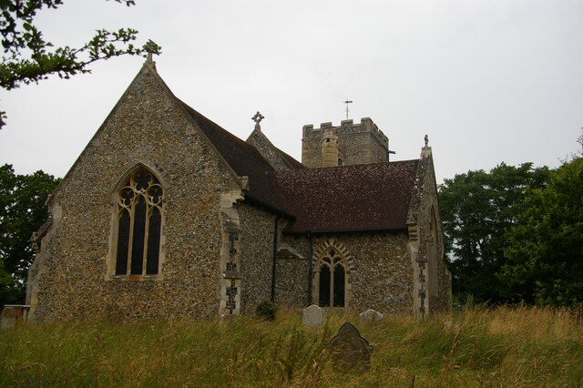
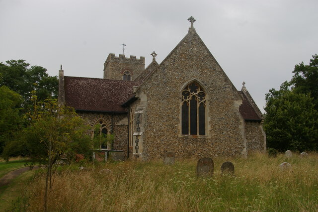
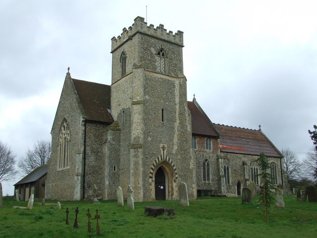
St Mary's Church, Great Blakenham
St Mary's Church is located in the village of Great Blakenham near Ipswich. It is an active Anglican parish church in the deanery of Bosmere, part of the...
Great Blakenham
Great Blakenham is a village and civil parish in the Mid Suffolk district of Suffolk in eastern England located near the town of Ipswich. An energy from...
Barham, Suffolk
Barham is a village and civil parish in the Mid Suffolk district of Suffolk, England. The village is on the River Gipping. Surrounded by Great Blakenham...

Shrubland Hall
Shrubland Hall, Coddenham, Suffolk, is a historic English country house with planned gardens in Suffolk, England, built in the 1770s. The Hall was used...
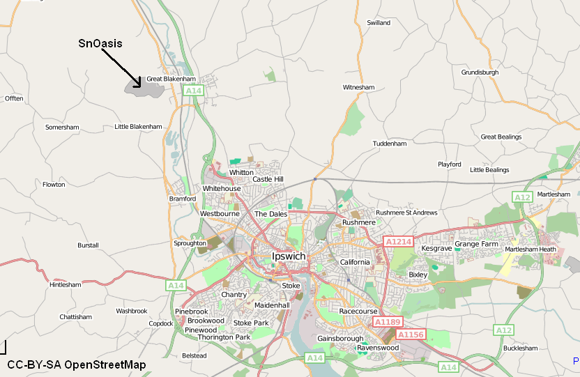
Valley Ridge (Winter sports resort)
Valley Ridge (formerly known as SnOasis) was a proposed ski and sports resort in Great Blakenham near Ipswich, Suffolk, England. In March 2021, the plan...
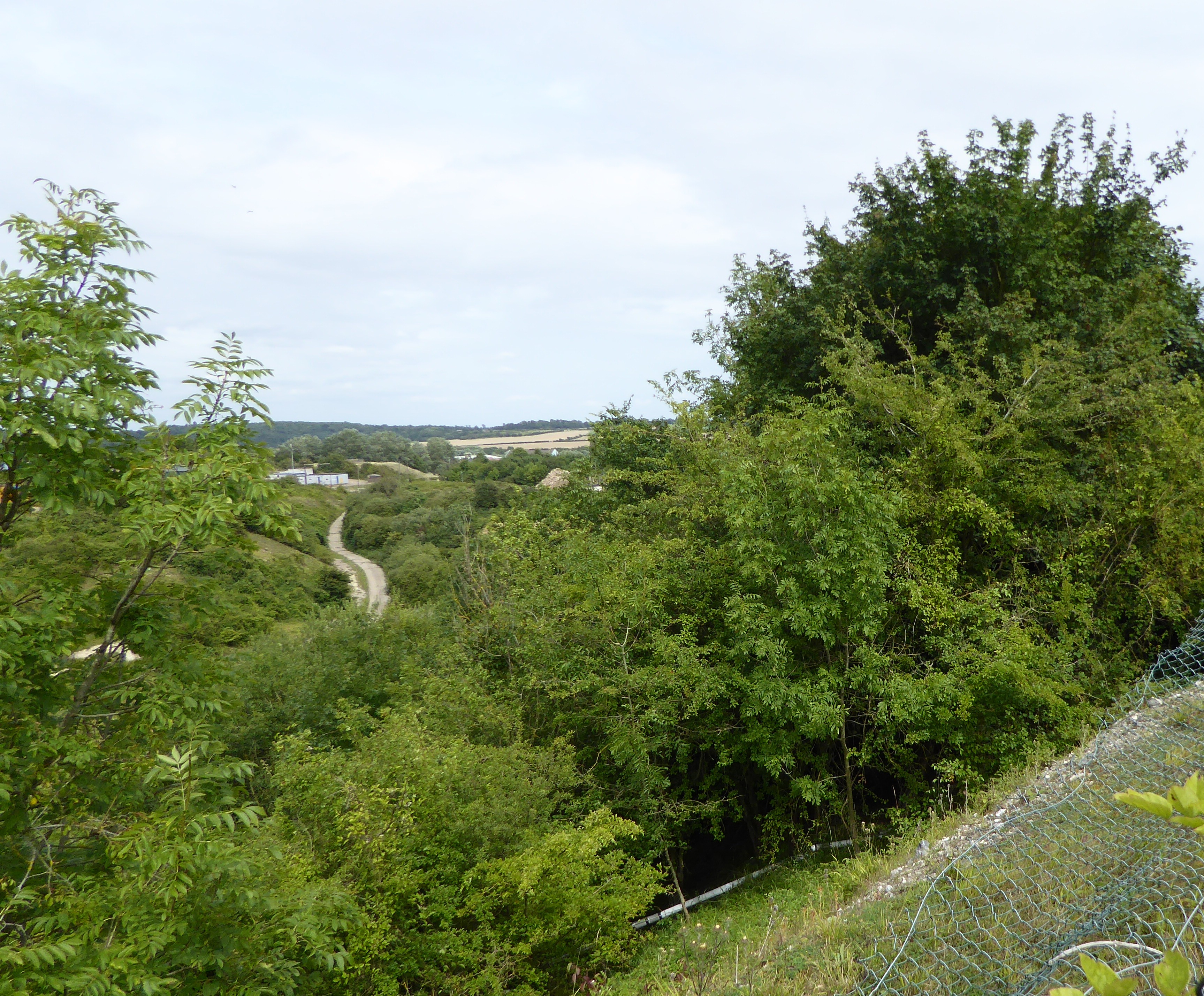
Great Blakenham Pit
Great Blakenham Pit is a 2.2-hectare (5.4-acre) geological Site of Special Scientific Interest south of Great Blakenham in Suffolk. It is a Geological...

Claydon railway station (Suffolk)
Claydon railway station was a station in Great Blakenham, Suffolk. It closed to passengers in 1963. The goods facility for Blue Circle Cement, British...
Nearby Amenities
Located within 500m of 52.122231,1.0819802Have you been to Bellfield Plantation?
Leave your review of Bellfield Plantation below (or comments, questions and feedback).