Norwich Belt
Wood, Forest in Norfolk Broadland
England
Norwich Belt
Norwich Belt, located in Norfolk, England, is a remarkable wood and forest area that spans over a vast expanse of land. Covering an area of approximately 1,800 hectares, it is a significant ecological site that offers a diverse range of habitats and natural features.
The woodlands within Norwich Belt are predominantly composed of broadleaf trees, such as oak, beech, and birch, which create a dense and verdant canopy. These woodlands are home to a rich array of flora and fauna, including rare and protected species. The forest floor is adorned with carpets of bluebells, wild garlic, and wood anemones, further enhancing the area's natural beauty.
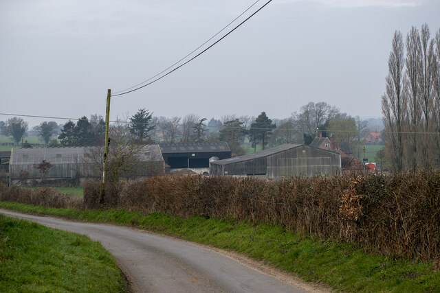
Norwich Belt also encompasses several meadows, wetlands, and marshes, which provide a habitat for a variety of bird species, including woodpeckers, blackcaps, and nightingales. The wetlands also attract an assortment of amphibians, such as frogs and newts.
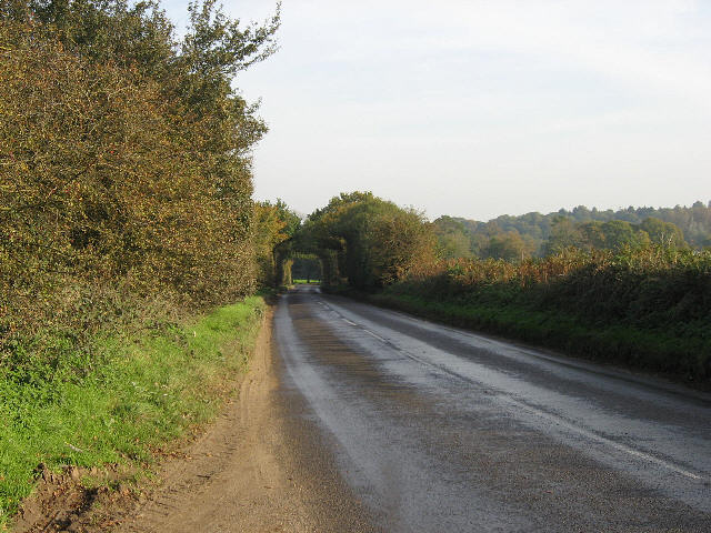
The woodlands of Norwich Belt not only serve as a haven for wildlife but also provide recreational opportunities for visitors. There are numerous walking trails and paths that crisscross through the forest, allowing visitors to explore the serene surroundings. These trails are suitable for all levels of hikers and provide an opportunity to engage with nature and enjoy the peacefulness of the area.
Furthermore, Norwich Belt is actively managed to ensure the preservation of its natural beauty and biodiversity. Conservation efforts are in place to protect the ancient trees, maintain the delicate balance of the ecosystem, and promote sustainable practices.
In conclusion, Norwich Belt in Norfolk is a captivating wood and forest area that offers a diverse range of habitats, stunning natural features, and recreational opportunities. It is a true gem for nature enthusiasts and a testament to the importance of conservation and preservation.
If you have any feedback on the listing, please let us know in the comments section below.
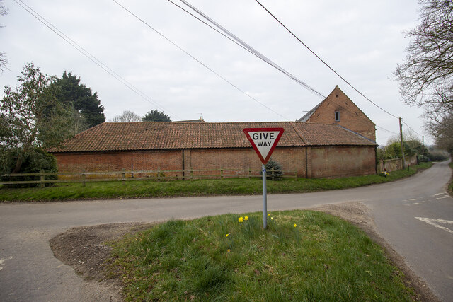
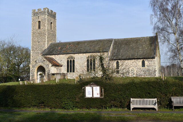
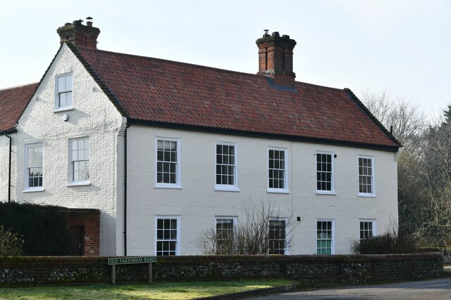
Norwich Belt Images
Images are sourced within 2km of 52.706958/1.1230356 or Grid Reference TG1116. Thanks to Geograph Open Source API. All images are credited.


Norwich Belt is located at Grid Ref: TG1116 (Lat: 52.706958, Lng: 1.1230356)
Administrative County: Norfolk
District: Broadland
Police Authority: Norfolk
What 3 Words
///snowmen.glows.lilac. Near Reepham, Norfolk
Nearby Locations
Related Wikis

Weston Longville
Weston Longville is a civil parish in the English county of Norfolk, approximately 8 miles (13 km) north-west of Norwich. Its name is derived from the...

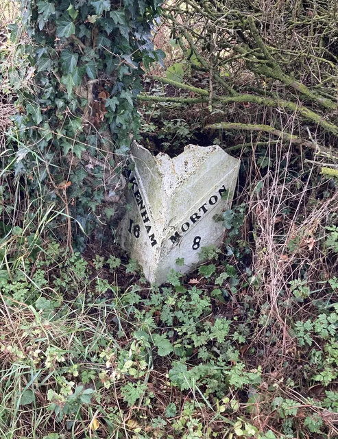
Morton on the Hill
Morton on the Hill is a small but scattered village and civil parish in the English county of Norfolk, about 8 miles (13 km) north-west of Norwich. The...

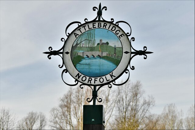
Attlebridge
Attlebridge is a village and civil parish in the English county of Norfolk. It is situated about 8 miles (13 km) north-west of Norwich, where the A1067...

Lenwade
Lenwade is a village in the civil parish of Great Witchingham, Norfolk, situated in the Wensum Valley adjacent to the A1067 road 14 miles (23 km) south...

RAF Attlebridge
Royal Air Force Attlebridge, or simply RAF Attlebridge, is a former Royal Air Force station located near Attlebridge and 8 miles (13 km) northwest of Norwich...
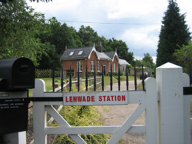
Lenwade railway station
Lenwade railway station was a railway station in North Norfolk, England. It was built by the Lynn and Fakenham Railway Company in 1882 and taken over by...

Attlebridge railway station
Attlebridge railway station is a closed station in Norfolk, England. It served the small village of Attlebridge. It was constructed by the Midland and...

River Ainse (or Eyn)
The River Ainse (or Eyn) is a small river in the county of Norfolk. It is a tributary of the River Wensum which it merges with at Lenwade. The River Ainse...
Nearby Amenities
Located within 500m of 52.706958,1.1230356Have you been to Norwich Belt?
Leave your review of Norwich Belt below (or comments, questions and feedback).