Hardingham Hills
Wood, Forest in Norfolk Broadland
England
Hardingham Hills
Hardingham Hills is a picturesque woodland located in the county of Norfolk, England. Stretching over an area of approximately 200 acres, it is considered one of the finest examples of a deciduous forest in the region. The woods are situated near the village of Hardingham, nestled within the enchanting Norfolk countryside.
The woodland is characterized by its rolling hills, dense foliage, and diverse array of tree species. Towering oak, beech, and ash trees dominate the landscape, providing a rich and varied habitat for a wide range of flora and fauna. The forest floor is carpeted with a vibrant tapestry of wildflowers, including bluebells, primroses, and wood anemones, which add a splash of color to the woodland during the spring months.
Hardingham Hills is a haven for wildlife enthusiasts, offering a sanctuary for numerous species. Birdwatchers can spot a variety of feathered residents, such as woodpeckers, jays, and tawny owls, while the keen-eyed observer may catch glimpses of elusive mammals like deer, foxes, and badgers. The forest also provides a vital habitat for rare insects and butterflies, making it a hotspot for entomologists and nature lovers alike.
The woodland is crisscrossed with a network of well-maintained footpaths and trails, allowing visitors to explore the area and immerse themselves in its natural beauty. As they wander through the forest, visitors can enjoy stunning panoramic views from the hilltops, breathe in the fresh woodland air, and listen to the soothing sounds of nature.
Hardingham Hills truly offers a tranquil escape from the hustle and bustle of everyday life, providing an idyllic setting for leisurely strolls, picnics, and nature walks. It is a place where visitors can reconnect with the natural world and experience the serene beauty of Norfolk's woodlands.
If you have any feedback on the listing, please let us know in the comments section below.
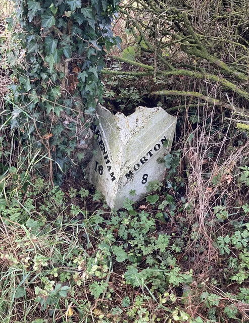
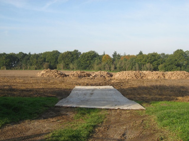
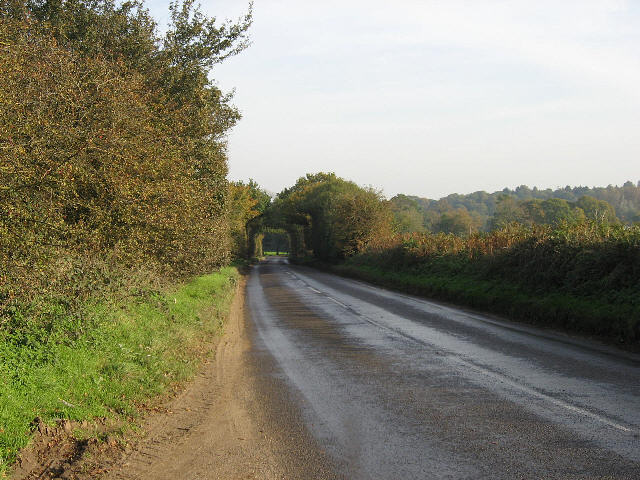
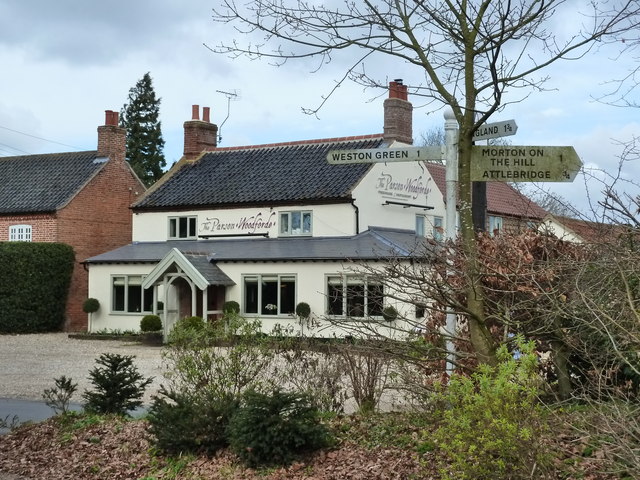
Hardingham Hills Images
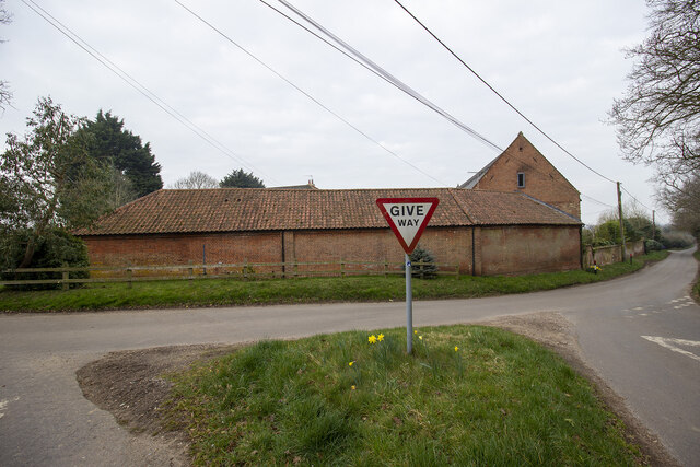
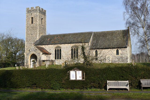
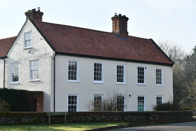
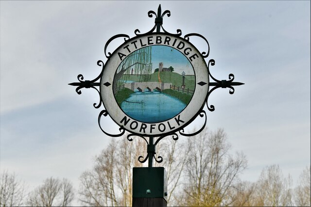
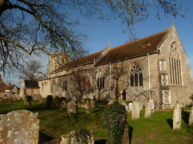
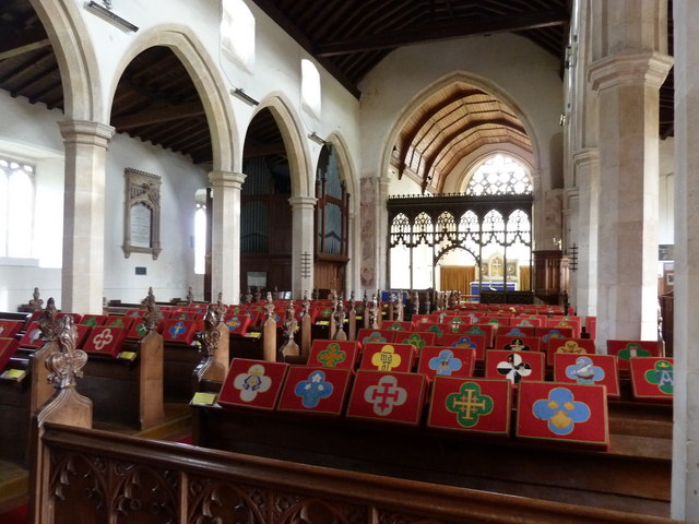
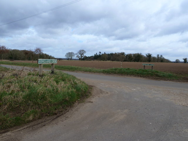
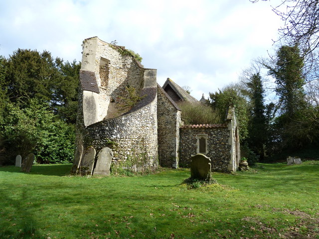
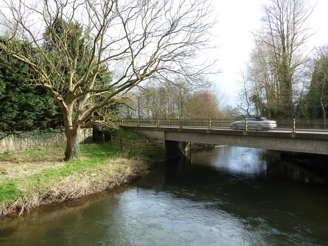
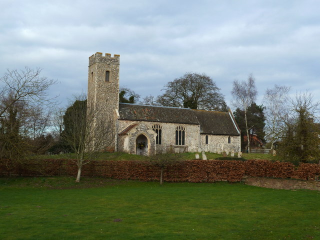
Images are sourced within 2km of 52.704308/1.1327954 or Grid Reference TG1116. Thanks to Geograph Open Source API. All images are credited.


Hardingham Hills is located at Grid Ref: TG1116 (Lat: 52.704308, Lng: 1.1327954)
Administrative County: Norfolk
District: Broadland
Police Authority: Norfolk
What 3 Words
///ultra.tickling.shell. Near Reepham, Norfolk
Nearby Locations
Related Wikis

Weston Longville
Weston Longville is a civil parish in the English county of Norfolk, approximately 8 miles (13 km) north-west of Norwich. Its name is derived from the...

Morton on the Hill
Morton on the Hill is a small but scattered village and civil parish in the English county of Norfolk, about 8 miles (13 km) north-west of Norwich. The...

Attlebridge
Attlebridge is a village and civil parish in the English county of Norfolk. It is situated about 8 miles (13 km) north-west of Norwich, where the A1067...

Attlebridge railway station
Attlebridge railway station is a closed station in Norfolk, England. It served the small village of Attlebridge. It was constructed by the Midland and...
Nearby Amenities
Located within 500m of 52.704308,1.1327954Have you been to Hardingham Hills?
Leave your review of Hardingham Hills below (or comments, questions and feedback).