Lock Covert
Wood, Forest in Suffolk Mid Suffolk
England
Lock Covert

Lock Covert is a picturesque woodland located in Suffolk, England. Situated in the heart of the county, this forested area covers an expansive area of approximately 200 acres. Boasting a rich history dating back centuries, Lock Covert is a popular destination for nature enthusiasts, hikers, and those seeking tranquility amidst the beauty of nature.
The woodland is known for its diverse range of tree species, including oak, beech, ash, and birch, which form a dense canopy overhead, providing shade and shelter to the forest floor below. The forest is also home to a variety of wildlife, including deer, foxes, rabbits, and an abundance of bird species. It is not uncommon to spot woodpeckers, owls, and various songbirds during a visit to Lock Covert.
Trails wind through the forest, offering visitors the opportunity to explore its natural wonders. These paths provide a chance to immerse oneself in the peaceful ambiance of the woodland, with the sound of rustling leaves underfoot and the scent of pine filling the air. In spring, the forest floor is carpeted with bluebells, creating a stunning display of vibrant color.
Lock Covert is managed by Suffolk County Council, which ensures the preservation of its natural beauty and the protection of its wildlife. It is open to the public year-round, with designated picnic areas and benches scattered throughout the forest, inviting visitors to relax and enjoy the serene surroundings.
Whether one seeks solitude, a chance to reconnect with nature, or simply a break from the bustle of everyday life, Lock Covert is an idyllic destination that offers a truly enchanting experience for all who visit.
If you have any feedback on the listing, please let us know in the comments section below.
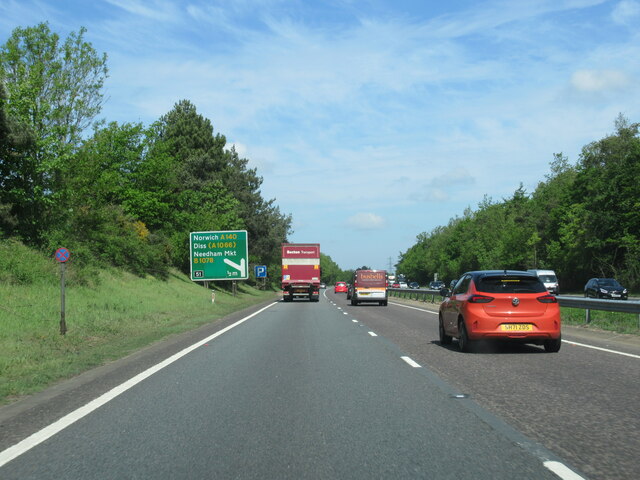
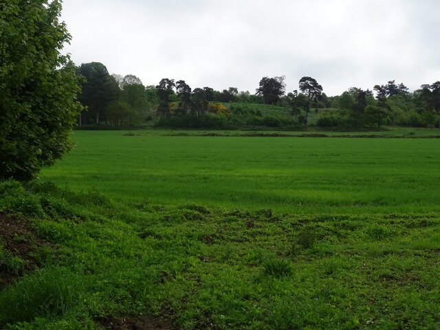
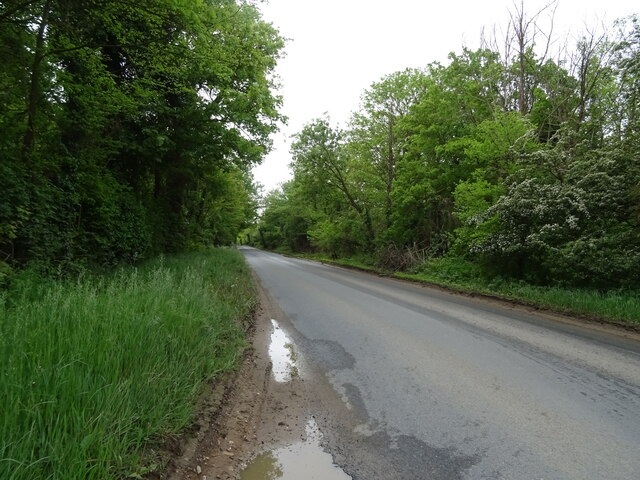
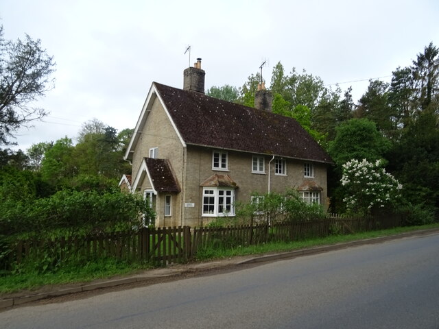
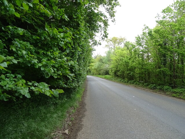
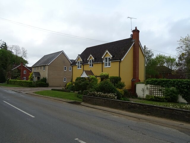
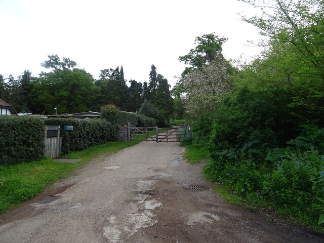
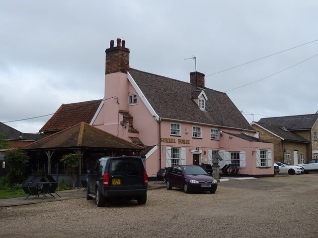
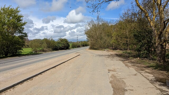
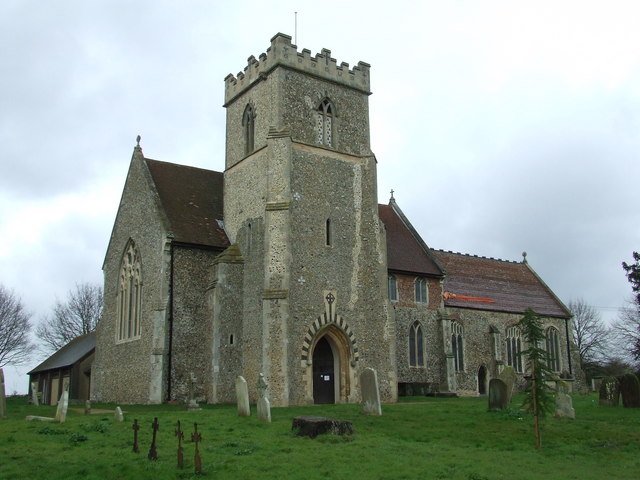
Lock Covert Images
Images are sourced within 2km of 52.12571/1.0923321 or Grid Reference TM1151. Thanks to Geograph Open Source API. All images are credited.


Lock Covert is located at Grid Ref: TM1151 (Lat: 52.12571, Lng: 1.0923321)
Administrative County: Suffolk
District: Mid Suffolk
Police Authority: Suffolk
What 3 Words
///torched.folks.keys. Near Claydon, Suffolk
Nearby Locations
Related Wikis

Baylham
Baylham is a village and civil parish, 1,349 acres size, in the Mid Suffolk district of Suffolk, England, about 7 miles (11 km) northwest of Ipswich and...

Shrubland Hall
Shrubland Hall, Coddenham, Suffolk, is a historic English country house with planned gardens in Suffolk, England, built in the 1770s. The Hall was used...
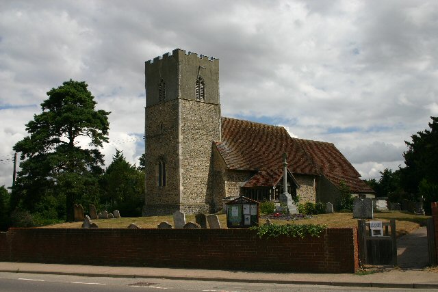
St Mary's Church, Great Blakenham
St Mary's Church is located in the village of Great Blakenham near Ipswich. It is an active Anglican parish church in the deanery of Bosmere, part of the...
Barham, Suffolk
Barham is a village and civil parish in the Mid Suffolk district of Suffolk, England. The village is on the River Gipping. Surrounded by Great Blakenham...
Nearby Amenities
Located within 500m of 52.12571,1.0923321Have you been to Lock Covert?
Leave your review of Lock Covert below (or comments, questions and feedback).