Fox Corner
Settlement in Surrey Woking
England
Fox Corner
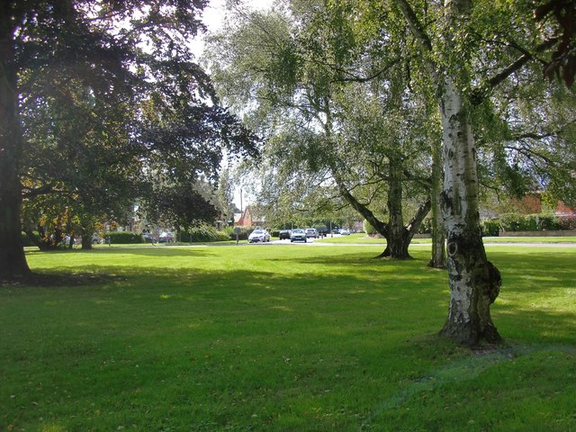
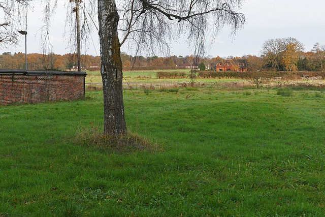
Fox Corner is a small hamlet located in the county of Surrey, England. Situated in the southeastern part of the country, it falls within the administrative district of Guildford. The hamlet is nestled amidst the picturesque countryside, surrounded by lush green fields and rolling hills, making it an idyllic rural retreat.
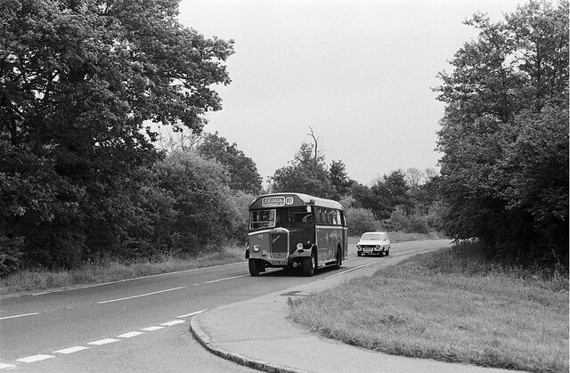
Despite its size, Fox Corner is well-connected to nearby towns and cities. The village of Godalming lies just a short distance to the west, offering a range of amenities and services to residents. The bustling town of Guildford is also within easy reach, providing further shopping, entertainment, and employment opportunities.
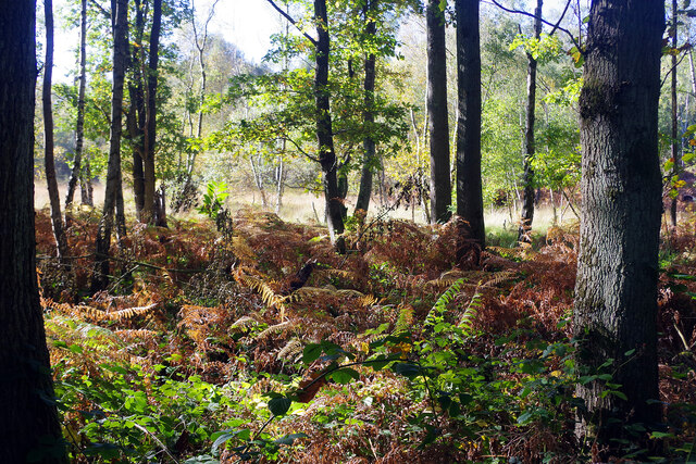
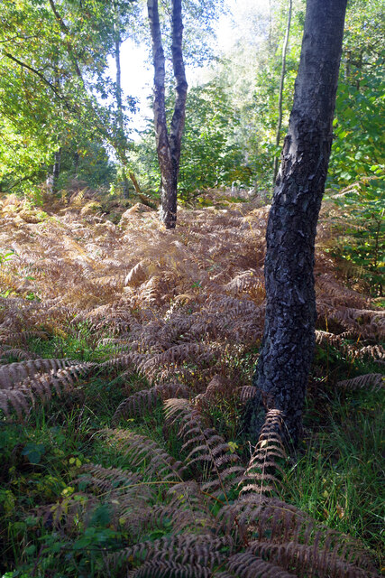
The area around Fox Corner is renowned for its natural beauty and outdoor recreational activities. The nearby Surrey Hills Area of Outstanding Natural Beauty offers stunning landscapes, with numerous walking and cycling trails for outdoor enthusiasts to explore. The hamlet is also close to the River Wey, providing opportunities for boating and fishing.
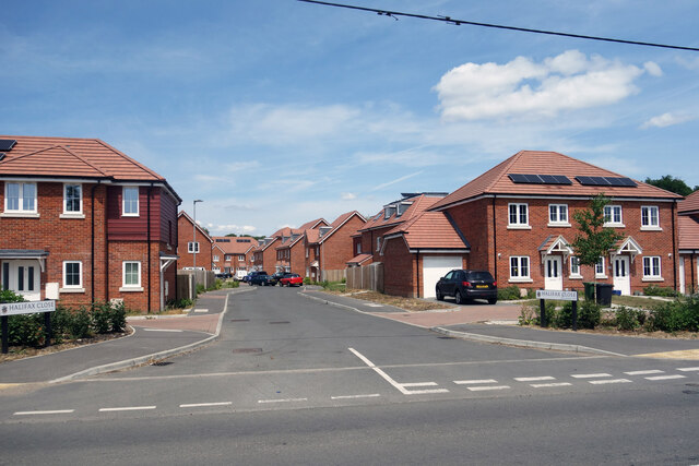
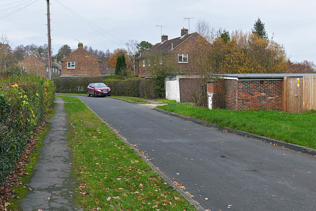
Housing in Fox Corner predominantly consists of traditional cottages and country homes, giving the area a charming and quintessentially English feel. The community is tight-knit and friendly, with a strong sense of community spirit. Local amenities include a small village hall and a pub, providing a focal point for social gatherings and events.
In summary, Fox Corner offers a tranquil and scenic setting for those seeking a peaceful countryside lifestyle. With its convenient location and close proximity to larger towns, it strikes a perfect balance between rural seclusion and access to urban amenities.
If you have any feedback on the listing, please let us know in the comments section below.
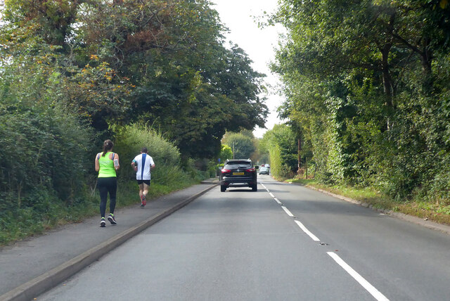
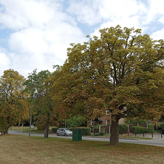
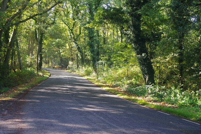
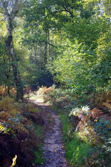
Fox Corner Images
Images are sourced within 2km of 51.277068/-0.6250687 or Grid Reference SU9654. Thanks to Geograph Open Source API. All images are credited.


Fox Corner is located at Grid Ref: SU9654 (Lat: 51.277068, Lng: -0.6250687)
Administrative County: Surrey
District: Woking
Police Authority: Surrey
What 3 Words
///buildings.snowstorm.pitch. Near Fairlands, Surrey
Nearby Locations
Related Wikis

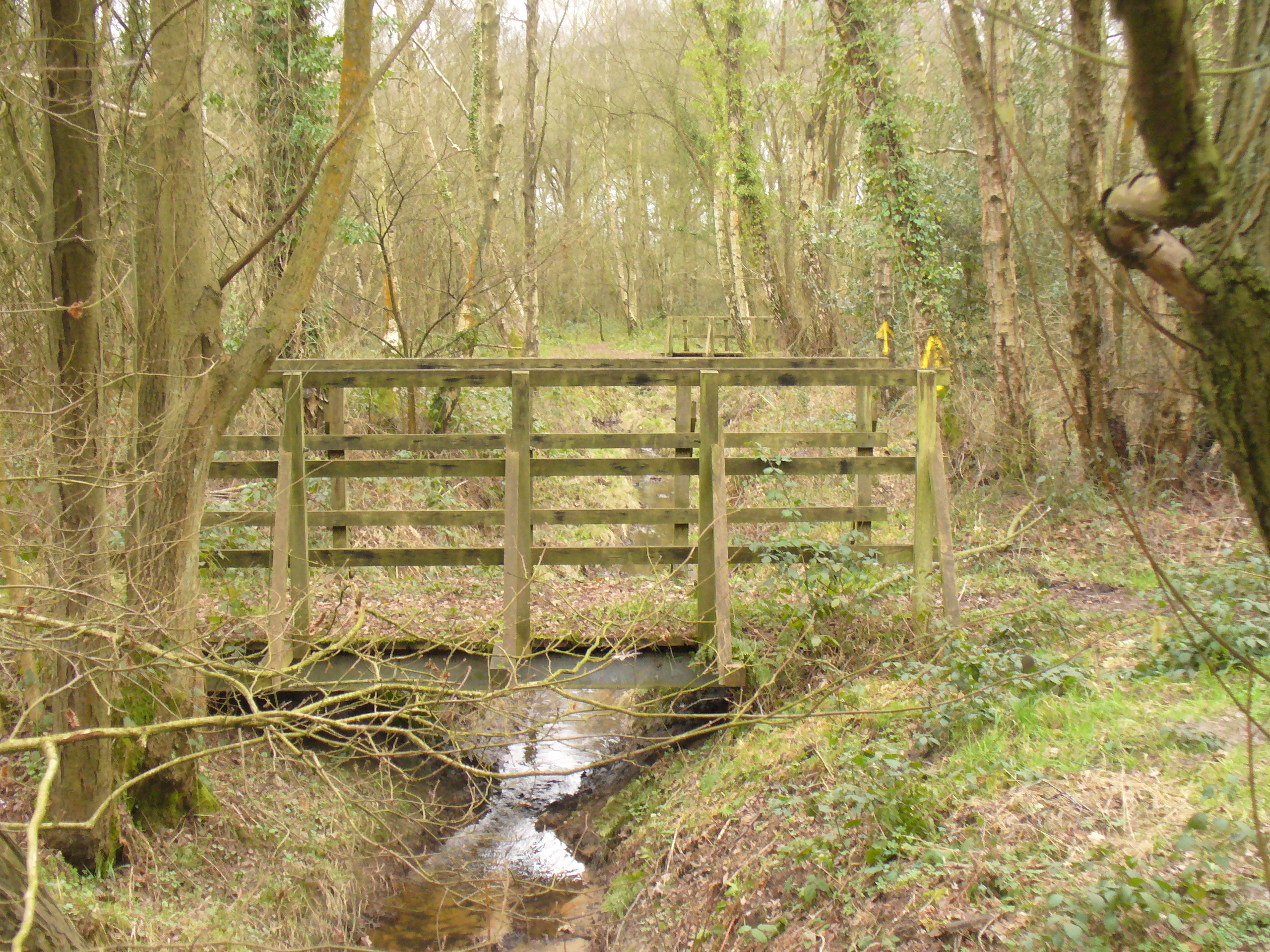
Fox Corner Wildlife Area
Fox Corner Wildlife Area is a 6.2-hectare (15-acre) Local Nature Reserve south-west of Woking in Surrey. It is owned and managed by Guildford Borough Council...

Pirbright Institute
The Pirbright Institute (formerly the Institute for Animal Health) is a research institute in Surrey, England, dedicated to the study of infectious diseases...
Worplesdon
Worplesdon is a village 3.1 miles (5.0 km) NNW of Guildford in Surrey, England and a large dispersed civil parish that includes the settlements of: Worplesdon...
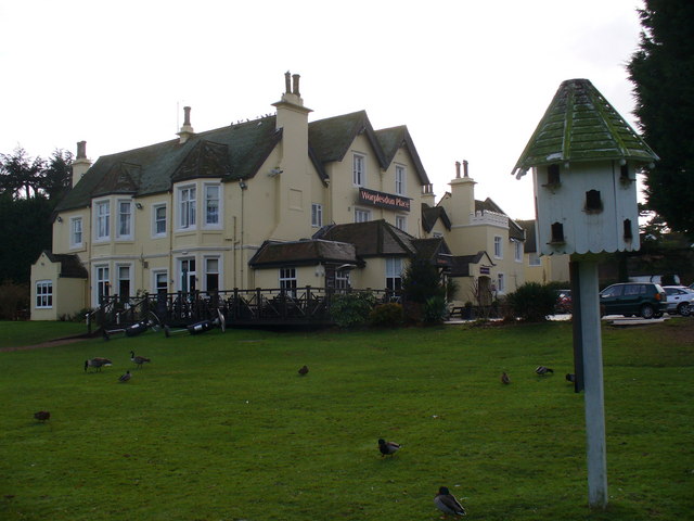
Worplesdon Place Hotel, Guildford
Worplesdon Place Hotel near Guildford, Surrey is a house of historical significance. It appears to have been built in about 1845 by Sir William Bovill...

Pirbright
Pirbright () is a village in Surrey, England. Pirbright is in the borough of Guildford and has a civil parish council covering the traditional boundaries...
Littlefield Common
Littlefield Common is a 17-hectare (42-acre) nature reserve south-west of Worplesdon in Surrey. It is owned by Surrey County Council and managed by the...

Burner's Heath and Swallows Pond
Burner's Heath and Swallows Pond is a 5-hectare (12-acre) nature reserve in Pirbright in Surrey. It is owned by Surrey County Council and managed by the...
Henry Moody
Flight Lieutenant Henry Michael Moody was a British World War I flying ace credited with eight aerial victories. His sixth triumph was over German ace...
Nearby Amenities
Located within 500m of 51.277068,-0.6250687Have you been to Fox Corner?
Leave your review of Fox Corner below (or comments, questions and feedback).