Fox Corner

Settlement in Bedfordshire

England

Fox Corner

The A5 Watling Street, Sheeplane
The A5 Watling Street, Sheeplane Credit: David Howard

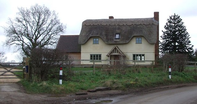
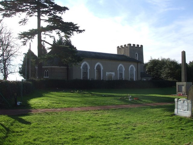
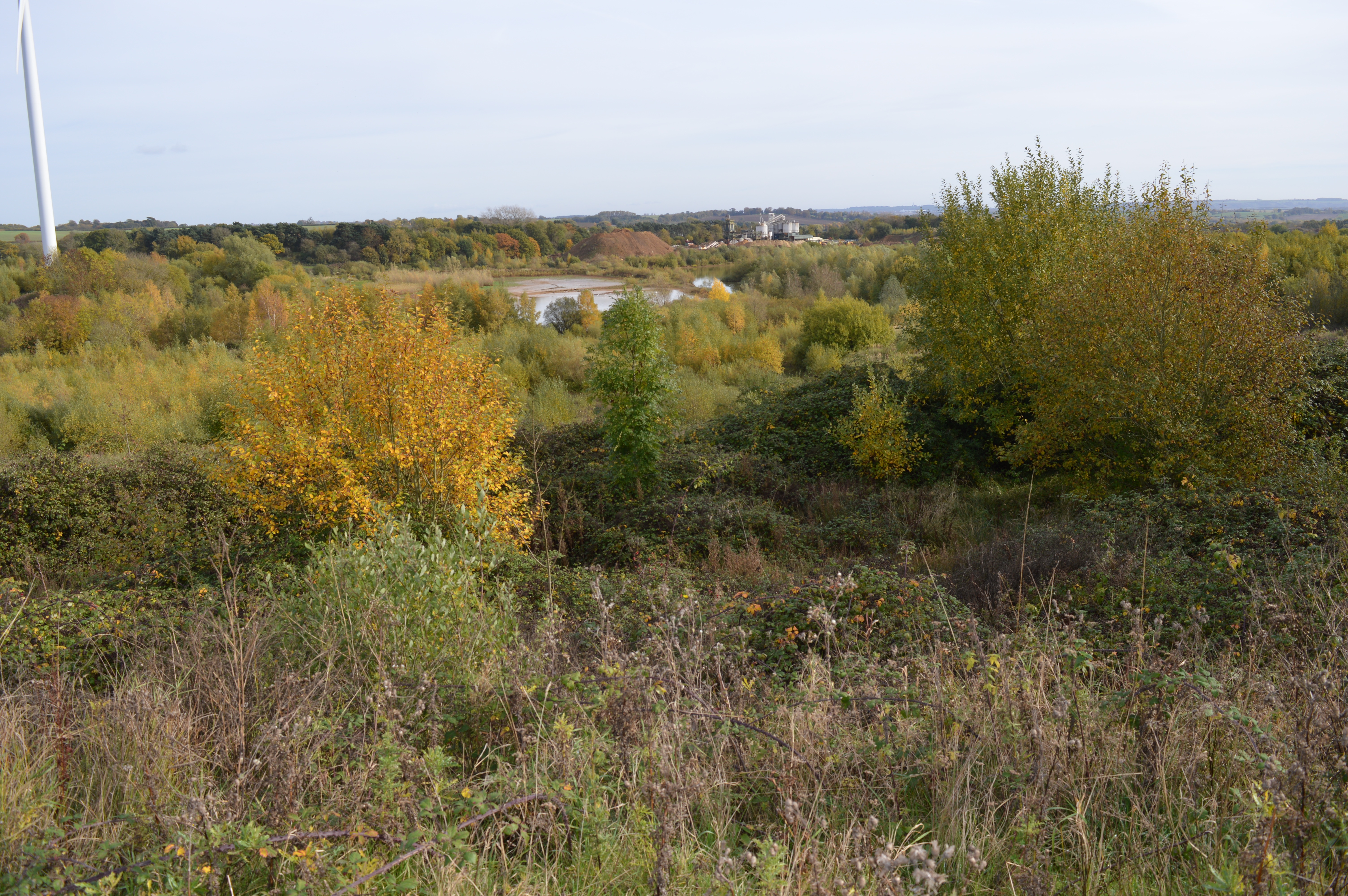
Fox Corner is a small hamlet located in the county of Bedfordshire, England. Situated in the eastern part of the county, it lies approximately 10 miles southeast of the town of Bedford and 50 miles north of London. The hamlet is nestled in a picturesque rural landscape, surrounded by rolling hills and farmland.

Despite its small size, Fox Corner has a rich history. It is believed to have been named after a local fox hunting tradition that dates back several centuries. The area is known for its charming cottages and traditional architecture, giving it a quaint and timeless feel.

Fox Corner is primarily an agricultural community, with farming being the main occupation of its residents. The fields surrounding the hamlet are used for crop cultivation and livestock rearing. This agricultural heritage is reflected in the local traditions and events, such as the annual harvest festival and agricultural shows.

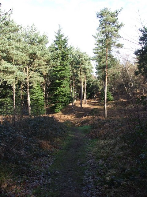
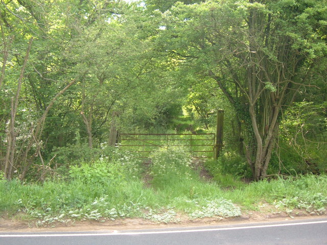
While the hamlet itself does not have many amenities, the nearby town of Bedford offers a range of services and facilities, including shops, schools, and healthcare centers. Additionally, Fox Corner benefits from its proximity to the beautiful Bedfordshire countryside, making it a popular destination for outdoor enthusiasts and nature lovers.

In conclusion, Fox Corner is a small and idyllic hamlet in Bedfordshire, England. With its rich history, picturesque surroundings, and strong agricultural roots, it offers a peaceful and charming escape from the hustle and bustle of urban life.

If you have any feedback on the listing, please let us know in the comments section below.
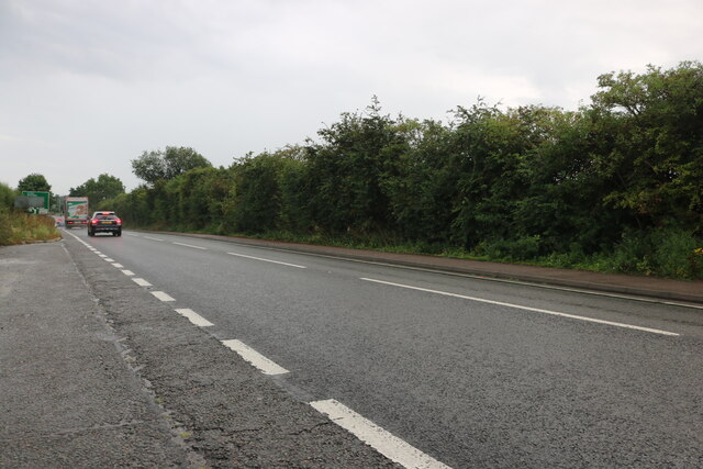
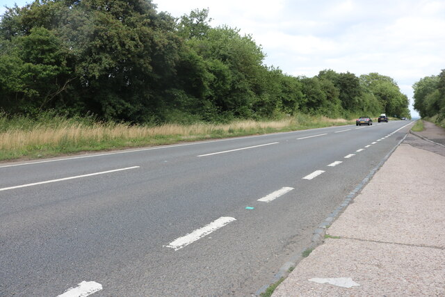
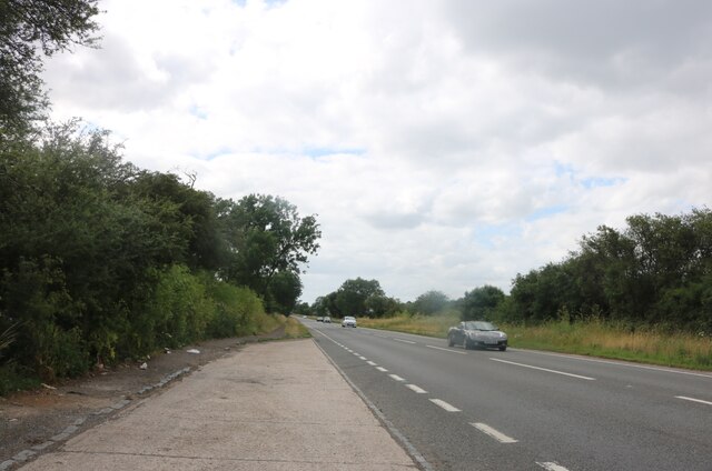
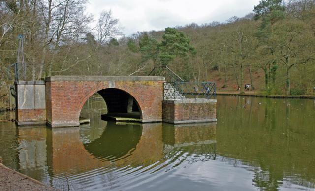
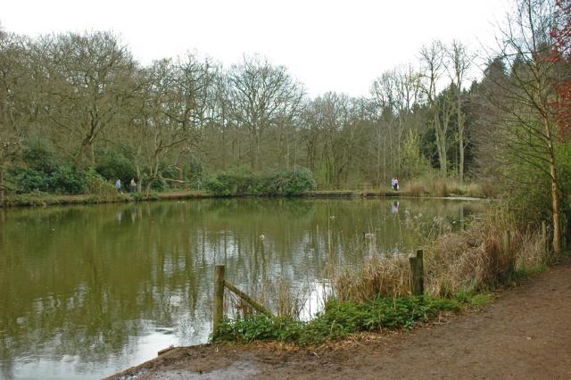
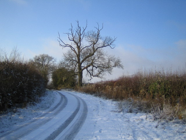
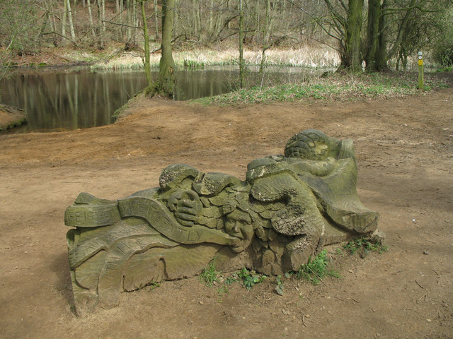
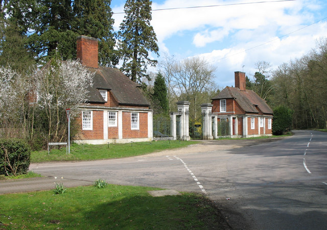
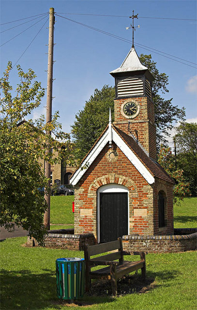
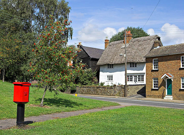
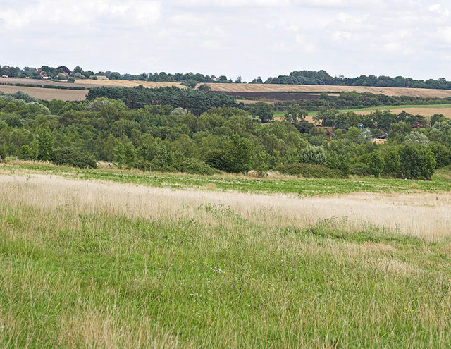
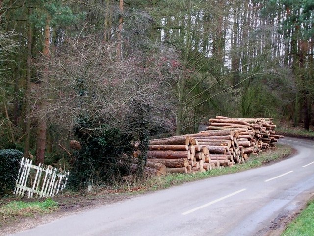
Fox Corner Images

Images are sourced within 2km of 51.952923/-0.654394 or Grid Reference SP9229. Thanks to Geograph Open Source API. All images are credited.

The A5 Watling Street, Sheeplane
Watling Street, Sheeplane
Stockgrove Country Park The (artificial) lake was excavated in the 1920s and the boathouse was built soon afterwards.  The boathouse used to have a room above with a thatched roof - but it burned down in the 1960s.  Part of the drawbridge mechanism remains on the left hand side.
Stockgrove Country Park
The (artificial) lake was excavated in the 1920s and the boathouse was built soon afterwards. The boathouse used to have a room above with a thatched roof - but it burned down in the 1960s. Part of the drawbridge mechanism remains on the left hand side.
Stockgrove Country Park The southern end of the artificial lake.
Stockgrove Country Park
The southern end of the artificial lake.
Leighton Buzzard: Double Arches quarry Sand despatching silos at the Double Arches quarry site on Eastern Way, managed by WBB Minerals.
Leighton Buzzard: Double Arches quarry
Sand despatching silos at the Double Arches quarry site on Eastern Way, managed by WBB Minerals.
Heath and Reach: Near Overendgreen Farm The lane between Heath and Reach and Overendgreen Farm viewed looking westwards with a light covering of snow on the ground.
Heath and Reach: Near Overendgreen Farm
The lane between Heath and Reach and Overendgreen Farm viewed looking westwards with a light covering of snow on the ground.
Live life gently Carved seat beside the Three Locks / Great Brickhill circular walk.  The seat faces a woodland lake.  The carving includes acorns at the front whilst the face on the back tells us 'This life is good. Live it gently with fire and always with hope'.
Live life gently
Carved seat beside the Three Locks / Great Brickhill circular walk. The seat faces a woodland lake. The carving includes acorns at the front whilst the face on the back tells us 'This life is good. Live it gently with fire and always with hope'.
Rushmere Park Gated entrance to Rushmere Park on Old Linslade Road.  The side road on the left is Bragenham Lane.
Rushmere Park
Gated entrance to Rushmere Park on Old Linslade Road. The side road on the left is Bragenham Lane.
1873 Pump House and Clock Tower The unusual building is located on Heath Green in Heath and Reach. 1873. It is a grade 2 listed structure listed as: One storey brick shed with gable end, the sides with cambered headed archways filled by iron railings. Gable ends. Tile roof. One gable end has plain door with cambered arch. Rising above the roof at the opposite end is a 2 stage square brick turrett with clock dial surmounted by louvred belfry. Pyramid roof and vane with cardinal points. Iron pumping machinery inside. A prominent feature of the village green.
1873 Pump House and Clock Tower
The unusual building is located on Heath Green in Heath and Reach. 1873. It is a grade 2 listed structure listed as: One storey brick shed with gable end, the sides with cambered headed archways filled by iron railings. Gable ends. Tile roof. One gable end has plain door with cambered arch. Rising above the roof at the opposite end is a 2 stage square brick turrett with clock dial surmounted by louvred belfry. Pyramid roof and vane with cardinal points. Iron pumping machinery inside. A prominent feature of the village green.
Heath Green Heath Green in Heath and Reach with period cottages and a modern Post box!
Heath Green
Heath Green in Heath and Reach with period cottages and a modern Post box!
Abandoned Gravel and Sand Pits Abandoned Gravel and Sand Pit workings almost fill this grid square.Some have now been recovered as grass land, as seen here.
Abandoned Gravel and Sand Pits
Abandoned Gravel and Sand Pit workings almost fill this grid square.Some have now been recovered as grass land, as seen here.
Woodpile near Great Brickhill The land to the east of Great Brickhill is quite wooded. As can be seen, some of this wood has been harvested and is lying beside the lane presumably awaiting collection.
Woodpile near Great Brickhill
The land to the east of Great Brickhill is quite wooded. As can be seen, some of this wood has been harvested and is lying beside the lane presumably awaiting collection.
Blue Gate Farm This attractive thatched farmhouse is just out of Great Brickhill on a 90º bend on Heath Road and just sneaks into this gridsquare. A track (and public footpath) leads to Hillbottom Spinney from this point.
Blue Gate Farm
This attractive thatched farmhouse is just out of Great Brickhill on a 90º bend on Heath Road and just sneaks into this gridsquare. A track (and public footpath) leads to Hillbottom Spinney from this point.
St. Leonard's, Heath & Reach This little church serves the village of Heath & Reach on the outskirts of Leighton Buzzard. Apparently the building's origins are somewhat uncertain, though the stubby tower was apparently added in the 16th century. However the nave was substantially rebuilt in the early 19th century - which gives the whole building a late Georgian or early Victorian appearance.
St. Leonard's, Heath & Reach
This little church serves the village of Heath & Reach on the outskirts of Leighton Buzzard. Apparently the building's origins are somewhat uncertain, though the stubby tower was apparently added in the 16th century. However the nave was substantially rebuilt in the early 19th century - which gives the whole building a late Georgian or early Victorian appearance.
Looking into King's Wood King's Wood is a large wooded area to the north of Heath & Reach. It is a National Nature Reserve which adjoins Stockgrove Country Park which is on the opposite side of the lane.
Looking into King's Wood
King's Wood is a large wooded area to the north of Heath & Reach. It is a National Nature Reserve which adjoins Stockgrove Country Park which is on the opposite side of the lane.
Fields bordering the A5 Though bordering the extremely busy A5 Watling Street, these fields look peaceful and rural. This view is in the general direction of the village of Heath & Reach.
Fields bordering the A5
Though bordering the extremely busy A5 Watling Street, these fields look peaceful and rural. This view is in the general direction of the village of Heath & Reach.
Little wood across the A5 I managed to find a moment when lorries and cars weren't thundering past to take this snap of a little wood by the side of the A5 near Heath & Reach.
Little wood across the A5
I managed to find a moment when lorries and cars weren't thundering past to take this snap of a little wood by the side of the A5 near Heath & Reach.
Show me another place!

Fox Corner is located at Grid Ref: SP9229 (Lat: 51.952923, Lng: -0.654394)

Unitary Authority: Central Bedfordshire

Police Authority: Bedfordshire

What 3 Words

///jeeps.dating.wicked. Near Heath and Reach, Bedfordshire

Nearby Locations

Fox Corner

Related Wikis

King's Wood, Heath and Reach

King's Wood is an area of ancient woodland in the parish of Heath and Reach in Bedfordshire, England. The wood lies north of the village of Heath and...

Kings and Bakers Woods and Heaths

Kings and Bakers Woods and Heaths is a 212.8-hectare (526-acre) Site of Special Scientific Interest (SSSI) between Heath and Reach in Bedfordshire and...

Stockgrove Country Park

Stockgrove Country Park is located in England on the Bedfordshire/Buckinghamshire border in the parish of Heath and Reach. Stockgrove Park's 80 acres is...
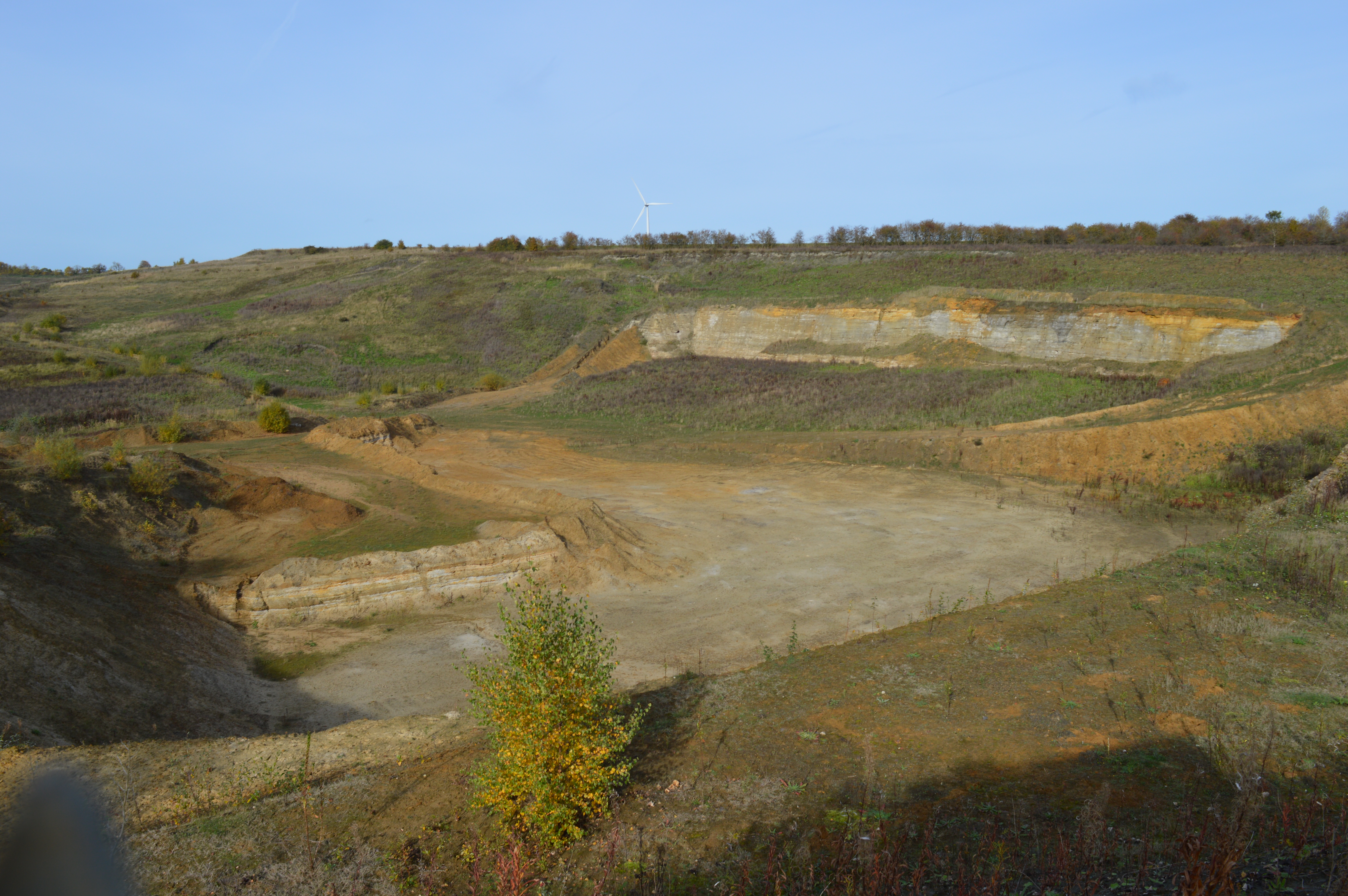
Double Arches Pit

Double Arches Pit (formerly known as New Trees Pit) was a sand quarry near the village and civil parish of Heath and Reach, Bedfordshire, England. It is...

Heath and Reach

Heath and Reach is a village and civil parish near the Chiltern Hills in Bedfordshire, England. It is 2 miles (3.2 km) north of Leighton Buzzard and 3...

Leighton Buzzard Golf Club

Leighton Buzzard Golf Club is a golf club near the village of Heath and Reach, north of Leighton Buzzard in Bedfordshire, England. The club was founded...

Vandyke Upper School

Vandyke Upper School and Community College is an academy school and sixth form in Leighton Buzzard, Bedfordshire, England. As of 2022, there are approximately...

Nine Acres Pit

Nine Acres Pit is a 20.7-hectare (51-acre) geological Site of Special Scientific Importance north-east of Leighton Buzzard in Bedfordshire. It was notified...

Nearby Amenities

Located within 500m of 51.952923,-0.654394
Direction: 295
Generator Method: photovoltaic
Generator Output Electricity: yes
Generator Solar Modules: 15
Generator Source: solar
Generator Type: solar_photovoltaic_panel
Location: roof
Power: generator
Lat/Long: 51.9485957/-0.65566
The data included in this document is from www.openstreetmap.org. The data is made available under ODbL.

Have you been to Fox Corner?

Leave your review of Fox Corner below (or comments, questions and feedback).