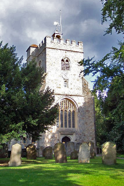
Bridley Copse
Wood, Forest in Surrey Woking
England
Bridley Copse
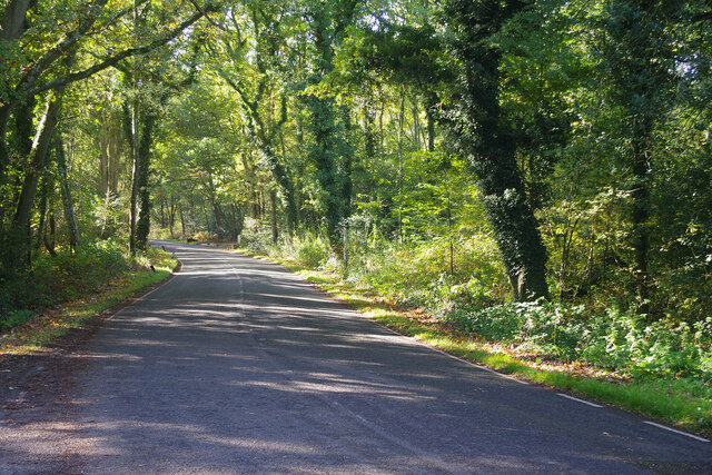
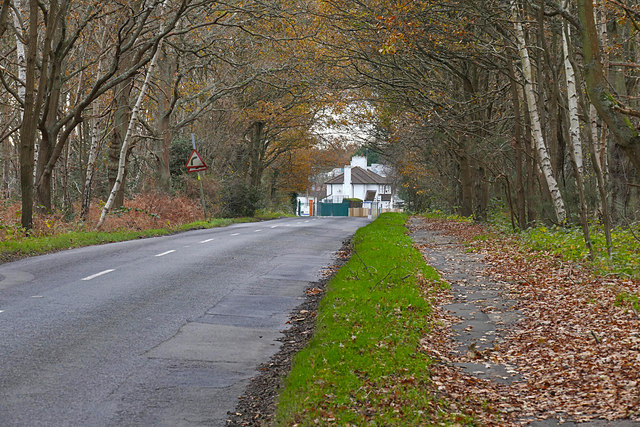
Bridley Copse is a picturesque wooded area located in Surrey, England. Covering an expansive area of land, the copse is known for its dense forest and lush greenery. It is situated in the southern part of Surrey, close to the town of Cranleigh.
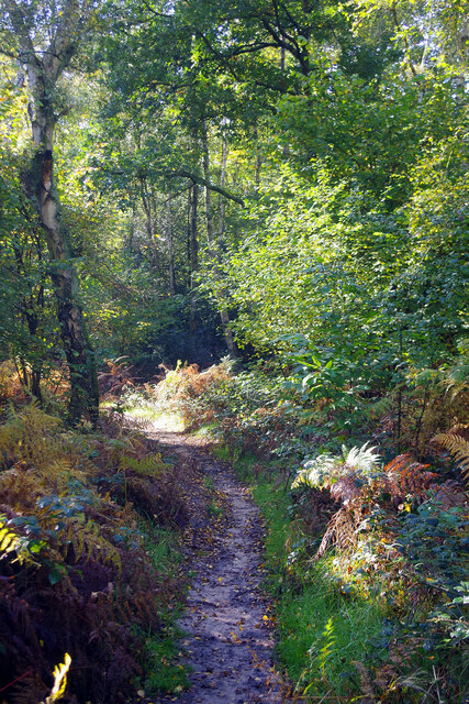
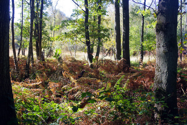
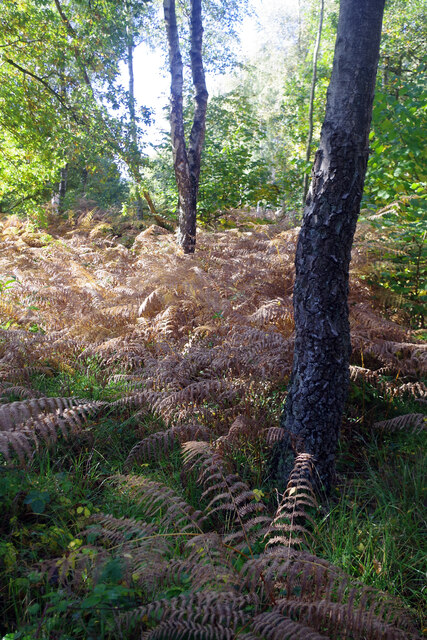
The copse is home to a variety of tree species, including oak, beech, and ash trees, which contribute to its vibrant and diverse ecosystem. The dense canopy formed by these trees provides a sheltered environment for a range of wildlife, making it a popular spot for nature enthusiasts and birdwatchers.
Trails and footpaths wind through the copse, allowing visitors to explore its natural beauty. These paths lead to hidden clearings, where one can find tranquility and enjoy the sounds of chirping birds and rustling leaves. The copse also features a small stream that meanders through its heart, adding to its scenic charm.
Bridley Copse is a haven for outdoor activities, such as hiking, walking, and cycling. The well-maintained trails provide an opportunity for visitors to reconnect with nature and enjoy the peaceful surroundings. The copse is also a popular spot for picnics and family outings, with designated areas for relaxation and dining.
The copse is easily accessible by car, with ample parking facilities available nearby. It offers a peaceful retreat from the hustle and bustle of urban life, providing a serene environment for individuals seeking solace in nature. Whether it is for a leisurely stroll, exploring wildlife, or simply enjoying the beauty of a woodland, Bridley Copse offers a delightful experience for all who visit.
If you have any feedback on the listing, please let us know in the comments section below.
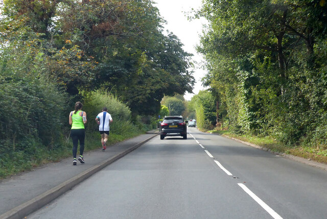
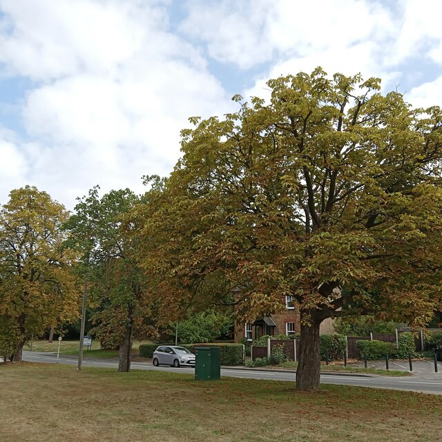
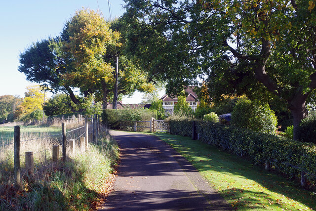
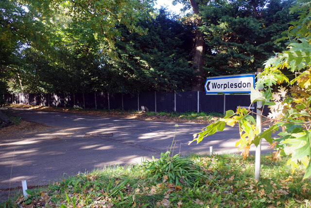
Bridley Copse Images
Images are sourced within 2km of 51.284432/-0.61208666 or Grid Reference SU9654. Thanks to Geograph Open Source API. All images are credited.


Bridley Copse is located at Grid Ref: SU9654 (Lat: 51.284432, Lng: -0.61208666)
Administrative County: Surrey
District: Woking
Police Authority: Surrey
What 3 Words
///earth.dips.habit. Near Fairlands, Surrey
Nearby Locations
Related Wikis

Fox Corner Wildlife Area
Fox Corner Wildlife Area is a 6.2-hectare (15-acre) Local Nature Reserve south-west of Woking in Surrey. It is owned and managed by Guildford Borough Council...
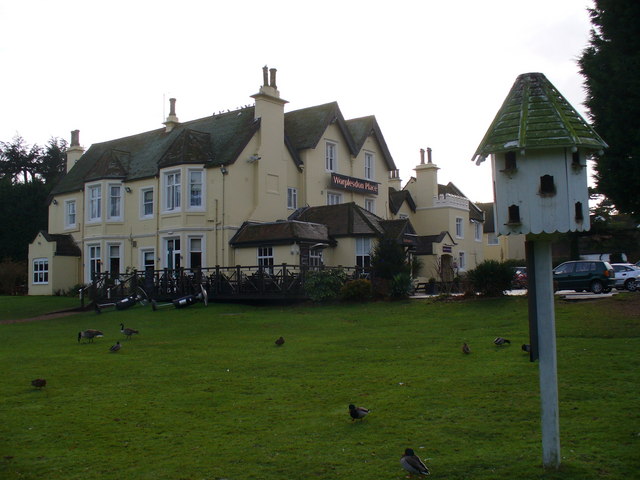
Worplesdon Place Hotel, Guildford
Worplesdon Place Hotel near Guildford, Surrey is a house of historical significance. It appears to have been built in about 1845 by Sir William Bovill...
Worplesdon
Worplesdon is a village 3.1 miles (5.0 km) NNW of Guildford in Surrey, England and a large dispersed civil parish that includes the settlements of: Worplesdon...

Henry Moody
Flight Lieutenant Henry Michael Moody was a British World War I flying ace credited with eight aerial victories. His sixth triumph was over German ace...
Pirbright Institute
The Pirbright Institute (formerly the Institute for Animal Health) is a research institute in Surrey, England, dedicated to the study of infectious diseases...

Ross Mangles
Ross Lowis Mangles VC (14 April 1833 – 28 February 1905) was a British administrator in India and the recipient of the Victoria Cross, the highest and...
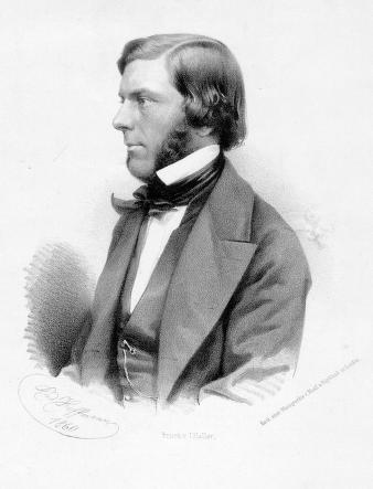
Alexander William Williamson
Prof Alexander William Williamson FRS FRSE PCS MRIA (1 May 1824 – 6 May 1904) was an English chemist. He is best known today for the Williamson ether synthesis...

Dugald Drummond
Dugald Drummond (1 January 1840 – 8 November 1912) was a Scottish steam locomotive engineer. He had a career with the North British Railway, LB&SCR, Caledonian...
Nearby Amenities
Located within 500m of 51.284432,-0.61208666Have you been to Bridley Copse?
Leave your review of Bridley Copse below (or comments, questions and feedback).