Fourteen Acre Strip
Wood, Forest in Norfolk Broadland
England
Fourteen Acre Strip
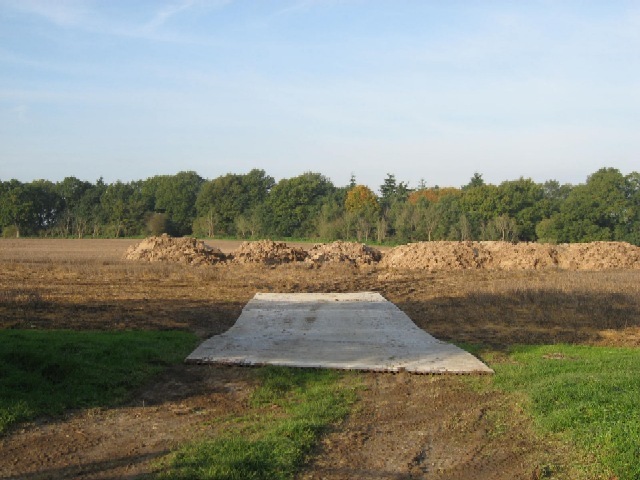
Fourteen Acre Strip, Norfolk, also known as Wood or Forest, is a picturesque area located in the county of Norfolk, England. This natural haven spans an area of approximately fourteen acres, hence its name, and offers a serene and tranquil environment for visitors to explore and enjoy.
The strip is comprised of a dense woodland, characterized by a variety of native tree species such as oak, beech, and birch. These trees create a lush canopy, providing shade and shelter to the diverse range of flora and fauna that call this area home. The forest floor is adorned with a vibrant carpet of mosses, ferns, and wildflowers, adding to the overall beauty of the landscape.
The area is a haven for wildlife enthusiasts and nature lovers alike, as it attracts a wide array of animals. Birdwatchers can spot various species of birds, including woodpeckers, thrushes, and finches. Squirrels can also be seen darting between the trees, while rabbits and foxes occasionally make an appearance.
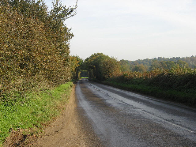
Fourteen Acre Strip is a popular destination for hikers and walkers, with well-maintained pathways meandering through the woodland. Visitors can immerse themselves in the natural surroundings, taking in the sights, sounds, and scents of the forest. The peaceful ambiance and the opportunity for solitude make it an ideal location for those seeking a break from the hustle and bustle of everyday life.
Overall, Fourteen Acre Strip, Norfolk, offers a delightful retreat for nature enthusiasts, boasting a diverse ecosystem, breathtaking scenery, and a sense of tranquility that is sure to captivate all who venture into its wooded realm.
If you have any feedback on the listing, please let us know in the comments section below.
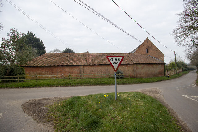
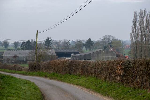
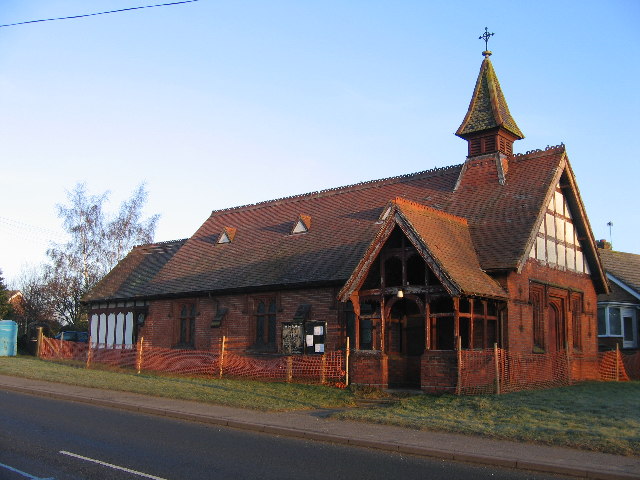
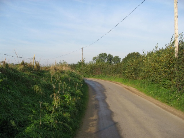
Fourteen Acre Strip Images
Images are sourced within 2km of 52.709355/1.111228 or Grid Reference TG1016. Thanks to Geograph Open Source API. All images are credited.


Fourteen Acre Strip is located at Grid Ref: TG1016 (Lat: 52.709355, Lng: 1.111228)
Administrative County: Norfolk
District: Broadland
Police Authority: Norfolk
What 3 Words
///amused.palace.justifies. Near Reepham, Norfolk
Nearby Locations
Related Wikis

Lenwade
Lenwade is a village in the civil parish of Great Witchingham, Norfolk, situated in the Wensum Valley adjacent to the A1067 road 14 miles (23 km) south...

Weston Longville
Weston Longville is a civil parish in the English county of Norfolk, approximately 8 miles (13 km) north-west of Norwich. Its name is derived from the...
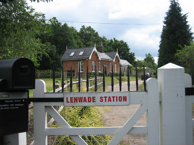
Lenwade railway station
Lenwade railway station was a railway station in North Norfolk, England. It was built by the Lynn and Fakenham Railway Company in 1882 and taken over by...

River Ainse (or Eyn)
The River Ainse (or Eyn) is a small river in the county of Norfolk. It is a tributary of the River Wensum which it merges with at Lenwade. The River Ainse...

Morton on the Hill
Morton on the Hill is a small but scattered village and civil parish in the English county of Norfolk, about 8 miles (13 km) north-west of Norwich. The...

RAF Attlebridge
Royal Air Force Attlebridge, or simply RAF Attlebridge, is a former Royal Air Force station located near Attlebridge and 8 miles (13 km) northwest of Norwich...
Great Witchingham
Great Witchingham is a village and civil parish in the English county of Norfolk about 11 miles (18 km) north-west of Norwich. It covers an area of 9.12...

Attlebridge
Attlebridge is a village and civil parish in the English county of Norfolk. It is situated about 8 miles (13 km) north-west of Norwich, where the A1067...
Nearby Amenities
Located within 500m of 52.709355,1.111228Have you been to Fourteen Acre Strip?
Leave your review of Fourteen Acre Strip below (or comments, questions and feedback).