Gray's Wood
Wood, Forest in Norfolk Broadland
England
Gray's Wood
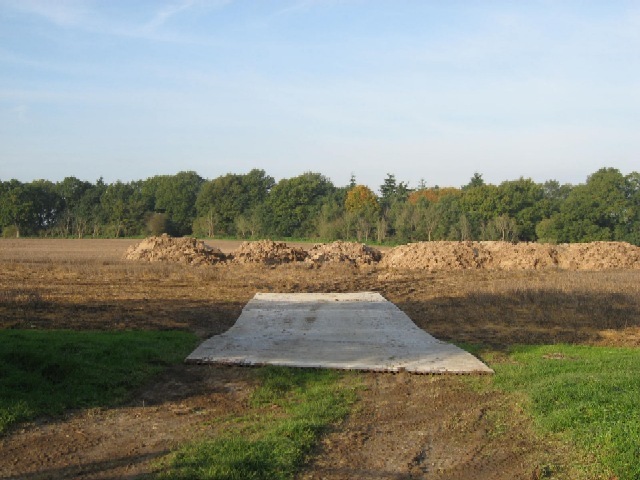
Gray's Wood is a picturesque woodland located in Norfolk, England. Covering an area of approximately 100 acres, it is situated within the beautiful Norfolk Broads National Park, making it a popular destination for nature enthusiasts and outdoor lovers.
The wood is characterized by its diverse range of tree species, including oak, beech, ash, and birch, which create a rich tapestry of colors throughout the seasons. The dense canopy provides a haven for various wildlife, such as deer, foxes, and a wide array of bird species, making it an ideal spot for birdwatching and wildlife photography.
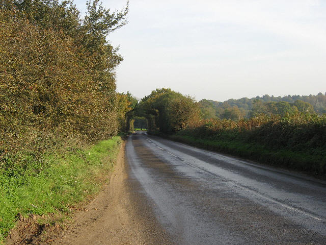
Trails meander through the wood, allowing visitors to explore its serene surroundings at their own pace. These well-maintained paths offer a chance to immerse oneself in nature, with opportunities to observe wildflowers, fungi, and ancient trees along the way. The wood is also home to a small stream, which adds to its natural charm.
Gray's Wood is not only a haven for wildlife but also a place of historical significance. It is believed to have ancient origins, with evidence of human activity dating back to prehistoric times. Archaeological finds, including flint tools and pottery fragments, have been discovered in the area, highlighting its importance as a gathering place throughout history.
Visitors to Gray's Wood can enjoy a peaceful and tranquil escape from the hustle and bustle of everyday life. Whether it's a leisurely stroll, a picnic beneath the shade of the trees, or simply taking in the sights and sounds of nature, this Norfolk woodland offers a memorable experience for all who venture within its boundaries.
If you have any feedback on the listing, please let us know in the comments section below.
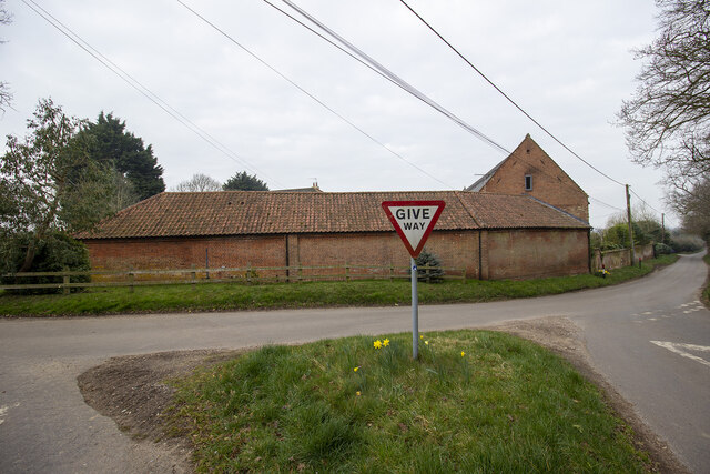
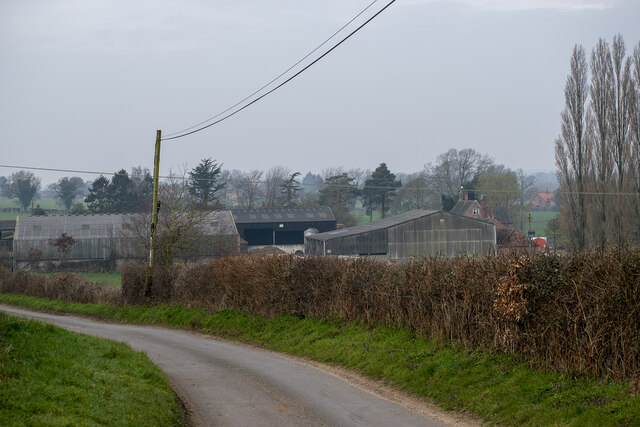
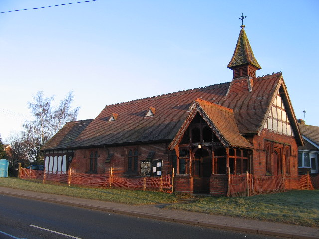
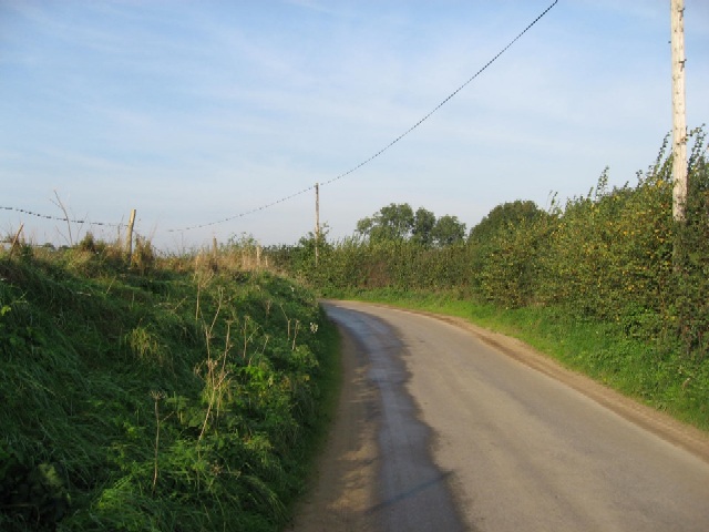
Gray's Wood Images
Images are sourced within 2km of 52.70741/1.1147319 or Grid Reference TG1016. Thanks to Geograph Open Source API. All images are credited.


Gray's Wood is located at Grid Ref: TG1016 (Lat: 52.70741, Lng: 1.1147319)
Administrative County: Norfolk
District: Broadland
Police Authority: Norfolk
What 3 Words
///directive.proud.timer. Near Reepham, Norfolk
Nearby Locations
Related Wikis

Weston Longville
Weston Longville is a civil parish in the English county of Norfolk, approximately 8 miles (13 km) north-west of Norwich. Its name is derived from the...

Lenwade
Lenwade is a village in the civil parish of Great Witchingham, Norfolk, situated in the Wensum Valley adjacent to the A1067 road 14 miles (23 km) south...

Morton on the Hill
Morton on the Hill is a small but scattered village and civil parish in the English county of Norfolk, about 8 miles (13 km) north-west of Norwich. The...

RAF Attlebridge
Royal Air Force Attlebridge, or simply RAF Attlebridge, is a former Royal Air Force station located near Attlebridge and 8 miles (13 km) northwest of Norwich...
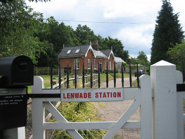
Lenwade railway station
Lenwade railway station was a railway station in North Norfolk, England. It was built by the Lynn and Fakenham Railway Company in 1882 and taken over by...

River Ainse (or Eyn)
The River Ainse (or Eyn) is a small river in the county of Norfolk. It is a tributary of the River Wensum which it merges with at Lenwade. The River Ainse...

Attlebridge
Attlebridge is a village and civil parish in the English county of Norfolk. It is situated about 8 miles (13 km) north-west of Norwich, where the A1067...

Attlebridge railway station
Attlebridge railway station is a closed station in Norfolk, England. It served the small village of Attlebridge. It was constructed by the Midland and...
Nearby Amenities
Located within 500m of 52.70741,1.1147319Have you been to Gray's Wood?
Leave your review of Gray's Wood below (or comments, questions and feedback).