Chalkpit Plantation
Wood, Forest in Suffolk Mid Suffolk
England
Chalkpit Plantation
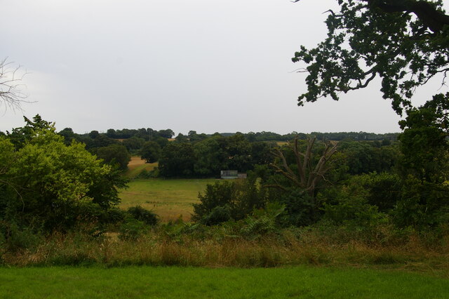
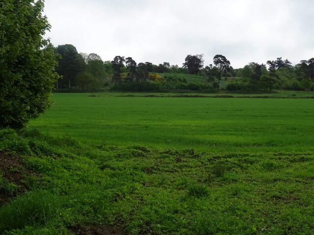
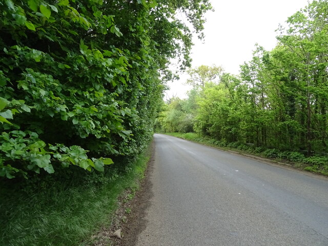
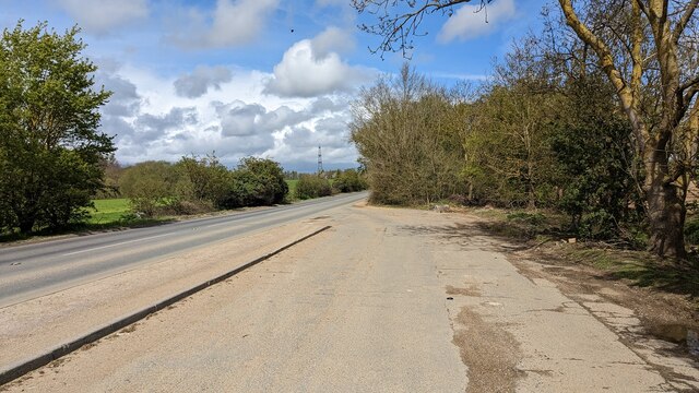
Chalkpit Plantation is a picturesque woodland located in Suffolk, England. It is situated near the village of Woodbridge and covers an area of approximately 200 acres. The plantation is predominantly made up of a variety of trees including oak, beech, and pine, creating a diverse and vibrant forest landscape.
The woodland has a rich history, with evidence of human activity dating back to the Iron Age. The area was once used for charcoal production, which explains the presence of old charcoal platforms scattered throughout the plantation. Today, it is a popular destination for nature enthusiasts and walkers, offering a tranquil and serene environment to explore.
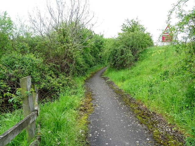
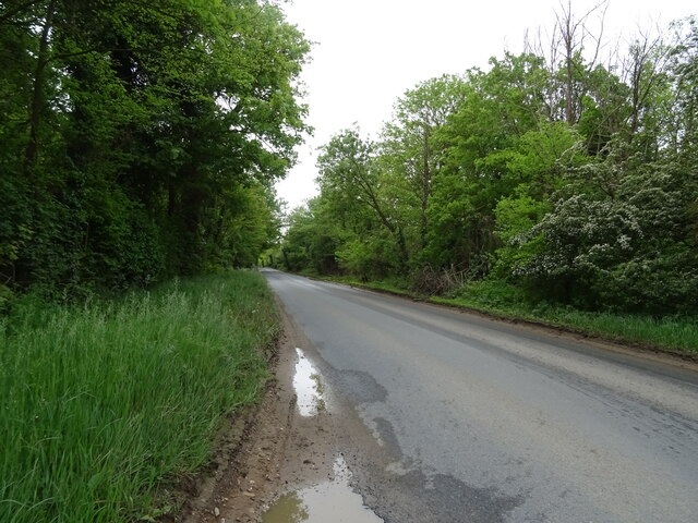
Chalkpit Plantation boasts a network of well-maintained footpaths and trails, allowing visitors to immerse themselves in the beauty of the woodland. The paths wind through the forest, offering glimpses of wildlife such as deer, squirrels, and a variety of bird species.
The plantation also features several clearings and glades, providing ideal spots for picnics and relaxation. These open areas are adorned with wildflowers during the spring and summer months, creating a vibrant burst of color against the green backdrop of the forest.
Chalkpit Plantation is managed by the Forestry Commission, ensuring its conservation and preservation for future generations to enjoy. The plantation offers a unique opportunity to escape the hustle and bustle of everyday life and reconnect with nature in a tranquil and enchanting setting.
If you have any feedback on the listing, please let us know in the comments section below.
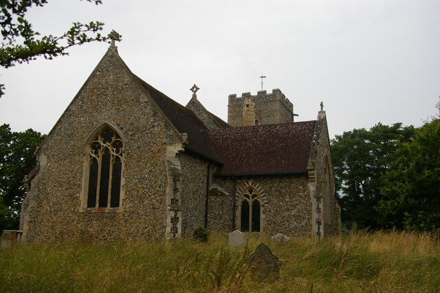
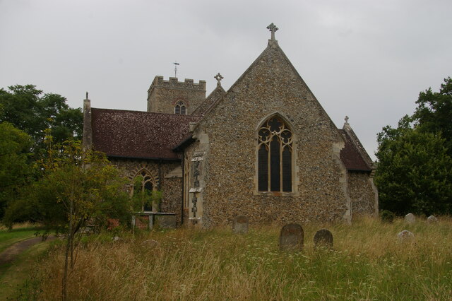
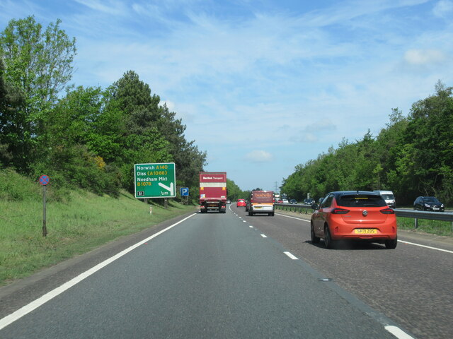
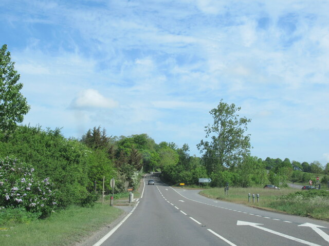
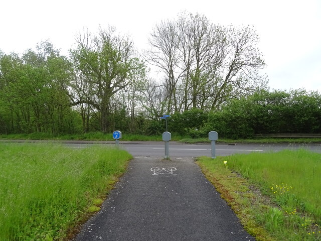
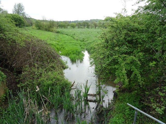
Chalkpit Plantation Images
Images are sourced within 2km of 52.137834/1.0671993 or Grid Reference TM0953. Thanks to Geograph Open Source API. All images are credited.


Chalkpit Plantation is located at Grid Ref: TM0953 (Lat: 52.137834, Lng: 1.0671993)
Administrative County: Suffolk
District: Mid Suffolk
Police Authority: Suffolk
What 3 Words
///recorders.putts.chucked. Near Needham Market, Suffolk
Nearby Locations
Related Wikis
Darmsden
Darmsden is a hamlet and civil parish in the Mid Suffolk district of Suffolk, England. Located near the A14 road around 2 kilometres (1 mi) south of the...

Baylham
Baylham is a village and civil parish, 1,349 acres size, in the Mid Suffolk district of Suffolk, England, about 7 miles (11 km) northwest of Ipswich and...

Needham Lake
Needham Lake is a 9.9 hectare Local Nature Reserve in Needham Market in Suffolk. It is owned and managed by Mid Suffolk District Council. It is a Regionally...

Needham Market railway station
Needham Market railway station is on the Great Eastern Main Line (GEML) in the East of England, serving the town of Needham Market, Suffolk. It is 77 miles...

Needham Market
Needham Market is a town in the Mid Suffolk district of Suffolk, England. Nearby villages include Barking, Darmsden, Badley and Creeting St Mary. The town...
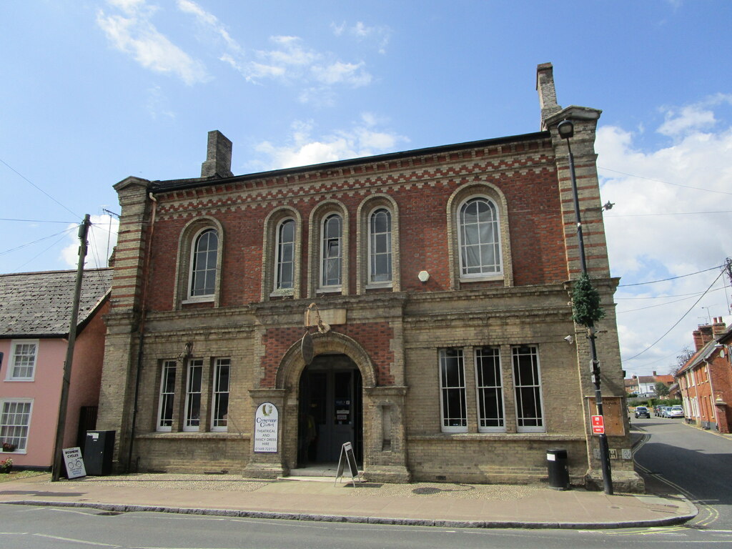
Old Town Hall, Needham Market
The Old Town Hall is a municipal building in the High Street in Needham Market, Suffolk, England. The building, which now accommodates an antiques centre...

Needham Market F.C.
Needham Market Football Club is a football club based in Needham Market, Suffolk, England. They are currently members of the Southern League Premier Division...
Creeting St Mary Windmill
Creeting St Mary Windmill is a Grade II listed dovecote at Creeting St Mary, Suffolk, England which has been restored. It was originally the body of a...
Nearby Amenities
Located within 500m of 52.137834,1.0671993Have you been to Chalkpit Plantation?
Leave your review of Chalkpit Plantation below (or comments, questions and feedback).