Hall Plantation

Wood, Forest in Norfolk Broadland

England

Hall Plantation

Church of St Mary & Church of St Michael There are the remains of another church (All Saints) in the churchyard. St Mary's nearest the camera is the one in use for services and St Michael is for community use.
Church of St Mary & Church of St Michael Credit: Kevin Waterhouse

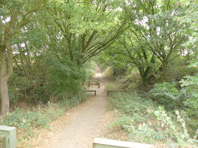
Hall Plantation is a picturesque woodland area located in Norfolk, England. Covering an expansive area of lush greenery, it is a haven for nature enthusiasts and an ideal destination for those seeking tranquility amidst the bustling city life.

The plantation is characterized by its dense forest, predominantly consisting of deciduous trees such as oak, beech, and birch, which create a canopy of shade throughout the area. These trees provide a habitat for a diverse range of wildlife, including birds, squirrels, and deer, making it a popular spot for birdwatching and wildlife observation.

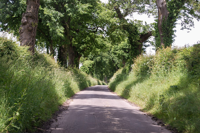
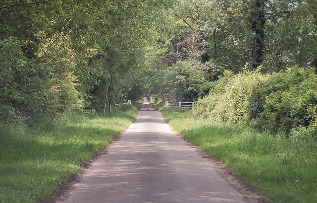
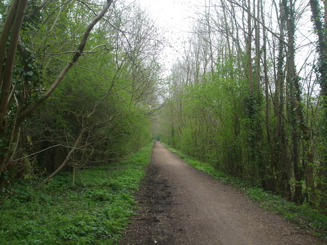
Traversing the plantation, visitors will find a network of well-maintained pathways that wind through the woodland, allowing for leisurely strolls and peaceful hikes. Along these paths, one can encounter various points of interest, such as a charming pond teeming with aquatic life and an enchanting meadow adorned with vibrant wildflowers during the summer months.

Additionally, Hall Plantation offers several amenities to enhance visitors' experience. There are picnic areas scattered throughout the woodland, providing a perfect spot to enjoy a packed lunch or a moment of relaxation. For those interested in history, the plantation boasts a small museum that showcases artifacts and information about the area's past.

Overall, Hall Plantation is a captivating destination that offers a harmonious blend of natural beauty and recreational opportunities. With its idyllic forest, abundant wildlife, and well-maintained pathways, it is a perfect retreat for individuals seeking solace in nature or families eager to explore the outdoors.

If you have any feedback on the listing, please let us know in the comments section below.

Hall Plantation Images

Images are sourced within 2km of 52.749747/1.1100462 or Grid Reference TG0921. Thanks to Geograph Open Source API. All images are credited.

Church of St Mary & Church of St Michael There are the remains of another church (All Saints) in the churchyard. St Mary's nearest the camera is the one in use for services and St Michael is for community use.
Church of St Mary & Church of St Michael
There are the remains of another church (All Saints) in the churchyard. St Mary's nearest the camera is the one in use for services and St Michael is for community use.
Head Shunt The station yard of the heritage Whitwell & Reepham Railway
Head Shunt
The station yard of the heritage Whitwell & Reepham Railway
Station Entrance On the heritage Whitwell & Reepham Railway
Station Entrance
On the heritage Whitwell & Reepham Railway
Marriott's Way looking east from B1145
Reepham: Collecting the baled straw from a harvested cereal crop
Reepham: Harvested cereal crop
Dereham Road enters Reepham The town is famous for having three churches next to each other, although one is ruinous.
Dereham Road enters Reepham
The town is famous for having three churches next to each other, although one is ruinous.
Unnamed lane near Great Witchingham Heading towards Whitwell.
Unnamed lane near Great Witchingham
Heading towards Whitwell.
Blackwater Lane towards Sparham
B1145 Dereham Road, Reepham At the junction with the B1145 Station Road, School Road & Market Place
B1145 Dereham Road, Reepham
At the junction with the B1145 Station Road, School Road & Market Place
Market Place, Reepham <span class="nowrap"><a title="https://en.wikipedia.org/wiki/Reepham,_Norfolk" rel="nofollow ugc noopener" href="https://en.wikipedia.org/wiki/Reepham,_Norfolk">Link</a><img style="margin-left:2px;" alt="External link" title="External link - shift click to open in new window" src="https://s1.geograph.org.uk/img/external.png" width="10" height="10"/></span>
Market Place, Reepham
Market Place, Reepham At the junction with the B1145 Dereham Road, B1145 Station Road & School Road
Market Place, Reepham
At the junction with the B1145 Dereham Road, B1145 Station Road & School Road
School Road, Reepham At the junction with Back Street
School Road, Reepham
At the junction with Back Street
Mill Road, Whitwell At the junction with Mill Road
Mill Road, Whitwell
At the junction with Mill Road
Mill Road & footpath Near Malthouse Farm
Mill Road & footpath
Near Malthouse Farm
B1145 Dereham Road, Pettywell At the junction with Kerdiston Road & Pettywell Corner
B1145 Dereham Road, Pettywell
At the junction with Kerdiston Road & Pettywell Corner
B1145 Dereham Road, Pettywell At the junction with Kerdiston Road & Pettywell Corner
B1145 Dereham Road, Pettywell
At the junction with Kerdiston Road & Pettywell Corner
Reepham and Whitwell cemetery The cemetery contains four War Graves
Reepham and Whitwell cemetery
The cemetery contains four War Graves
Show me another place!

Hall Plantation is located at Grid Ref: TG0921 (Lat: 52.749747, Lng: 1.1100462)

Administrative County: Norfolk

District: Broadland

Police Authority: Norfolk

What 3 Words

///president.bowls.steam. Near Reepham, Norfolk

Nearby Locations

Whitwell Hall Plantation

Related Wikis

Whitwell & Reepham railway station

Whitwell and Reepham railway station, also known as Whitwell station, is a former station situated in Norfolk, England. The station closed in 1959 and...

Reepham High School and College

Reepham High School and College is a secondary school and sixth form with academy status located in Reepham, Norfolk. The majority of the students live...

Reepham, Norfolk

Reepham () is a market town and civil parish in the Broadland district of Norfolk, England. Reepham is situated on the B1145 road between the Bure and...

Booton, Norfolk

Booton is a village and civil parish in the Broadland district of Norfolk, England, just east of Reepham and seven miles west of Aylsham. According to...

Whitwell Common SSSI

Whitwell Common is a 19.4-hectare (48-acre) biological Site of Special Scientific Interest north-east of Dereham in Norfolk.This common in the valley...

Booton Common

Booton Common'' is an 8.2-hectare (20-acre) biological Site of Special Scientific Interest north-west of Norwich in Norfolk. It is managed by the Norfolk...

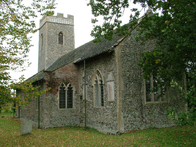
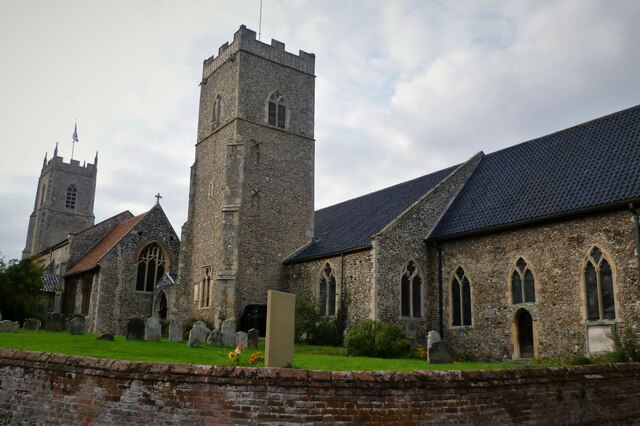
St Faith's Church, Little Witchingham

St Faith's Church is a redundant Anglican church in the village of Little Witchingham in Norfolk, England. It is recorded in the National Heritage List...

Pettywell

Pettywell is a hamlet within the a civil parish of Reepham in the English county of Norfolk. The hamlet is 8.3 miles (13.4 km) west south west of Aylsham...

Nearby Amenities

Located within 500m of 52.749747,1.1100462
Barrier: kissing_gate
Lat/Long: 52.7492576/1.116873
Barrier: kissing_gate
Lat/Long: 52.7500074/1.1165039
Barrier: stile
Bicycle: no
Foot: yes
Material: wood
Stile: stepover
Lat/Long: 52.7500507/1.1164889
Barrier: stile
Bicycle: no
Foot: yes
Material: wood
Stile: stepover
Lat/Long: 52.7504598/1.1165309
Barrier: stile
Bicycle: no
Foot: yes
Material: wood
Stile: stepover
Lat/Long: 52.7505101/1.1165362
Barrier: cattle_grid
Lat/Long: 52.7514242/1.1150901
Power: pole
Lat/Long: 52.7492568/1.1168115
Power: pole
Lat/Long: 52.7505711/1.1160913
Power: pole
Lat/Long: 52.7521702/1.1151633
The data included in this document is from www.openstreetmap.org. The data is made available under ODbL.

Have you been to Hall Plantation?

Leave your review of Hall Plantation below (or comments, questions and feedback).