St John's Wood
Wood, Forest in Kent Ashford
England
St John's Wood
St John's Wood is a charming suburban area located in the county of Kent, England. Situated within the London Borough of Brent, it is known for its idyllic surroundings and close proximity to the city center. St John's Wood is bordered by Regent's Park to the east, Primrose Hill to the north, Maida Vale to the west, and Paddington to the south.
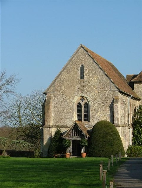
The area is characterized by its leafy streets, elegant Victorian and Edwardian houses, and beautiful green spaces. One of its most notable features is the iconic Lord's Cricket Ground, which is home to the Marylebone Cricket Club and hosts international matches. The picturesque St John's Wood Church Grounds also provide residents and visitors with a tranquil escape from the bustling city.
St John's Wood High Street is the main commercial hub of the area, offering an array of boutique shops, high-end restaurants, and cafes. The high street is also home to the Abbey Road Studios, where legendary bands like The Beatles recorded their music.
Transportation in St John's Wood is convenient, with the St John's Wood tube station providing access to the London Underground's Jubilee line. Several bus routes also serve the area, connecting it to other parts of London.
St John's Wood is considered an affluent and desirable neighborhood, attracting a mix of professionals, families, and celebrities. Its combination of green spaces, elegant architecture, and convenient location make it an appealing place to live and visit in Kent.
If you have any feedback on the listing, please let us know in the comments section below.
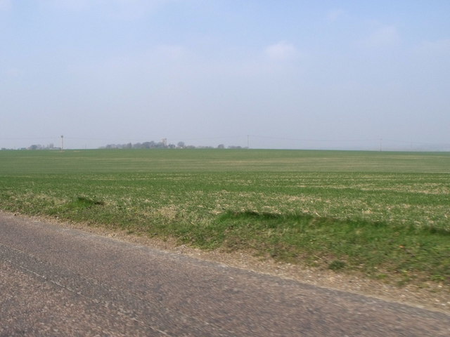
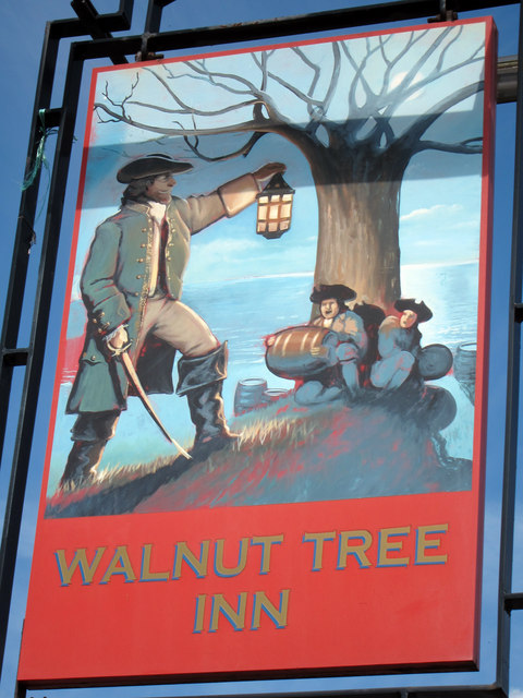
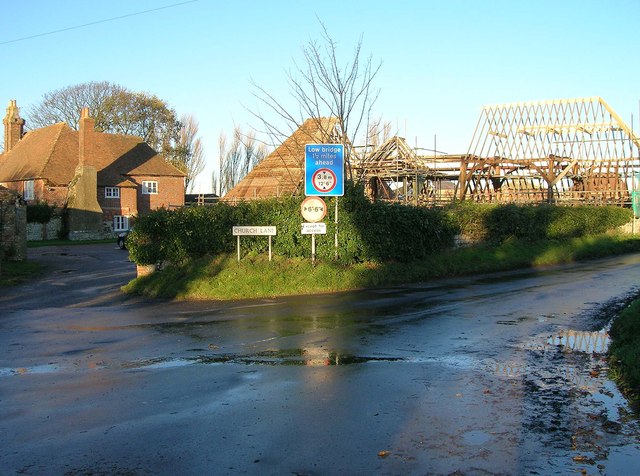
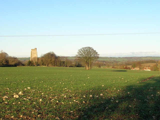
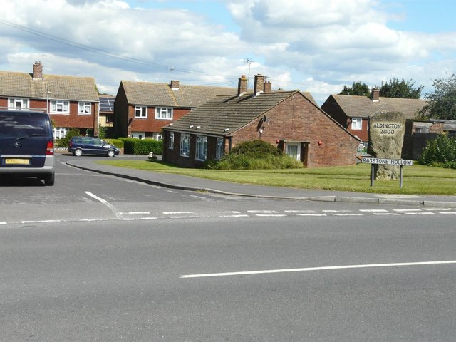
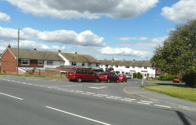
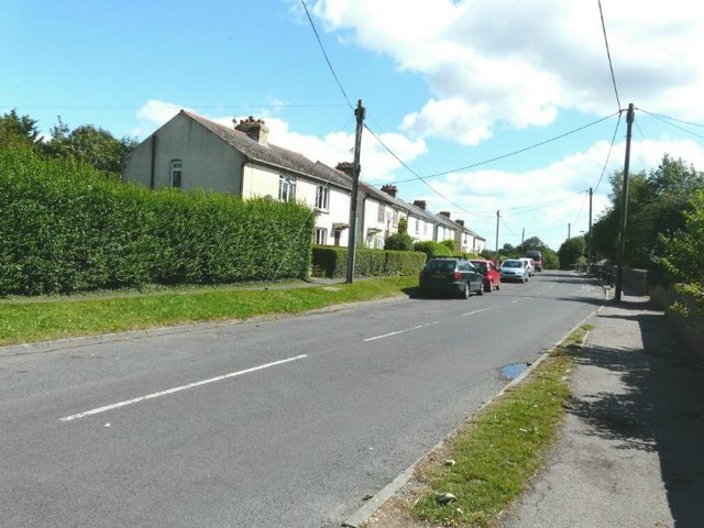
St John's Wood Images
Images are sourced within 2km of 51.081172/0.95380882 or Grid Reference TR0635. Thanks to Geograph Open Source API. All images are credited.


St John's Wood is located at Grid Ref: TR0635 (Lat: 51.081172, Lng: 0.95380882)
Administrative County: Kent
District: Ashford
Police Authority: Kent
What 3 Words
///invents.grunt.woke. Near Lympne, Kent
Nearby Locations
Related Wikis
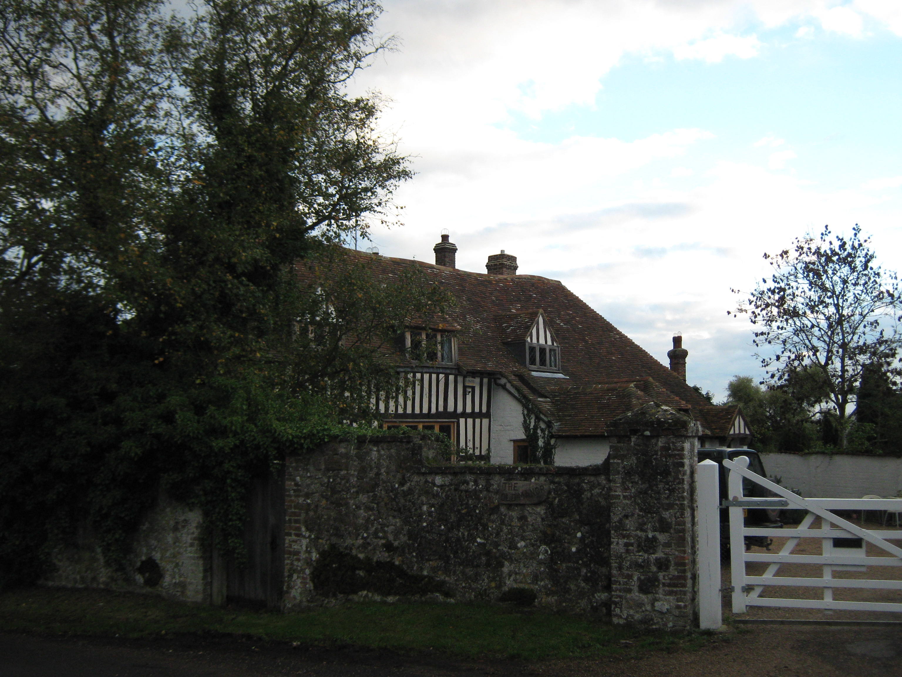
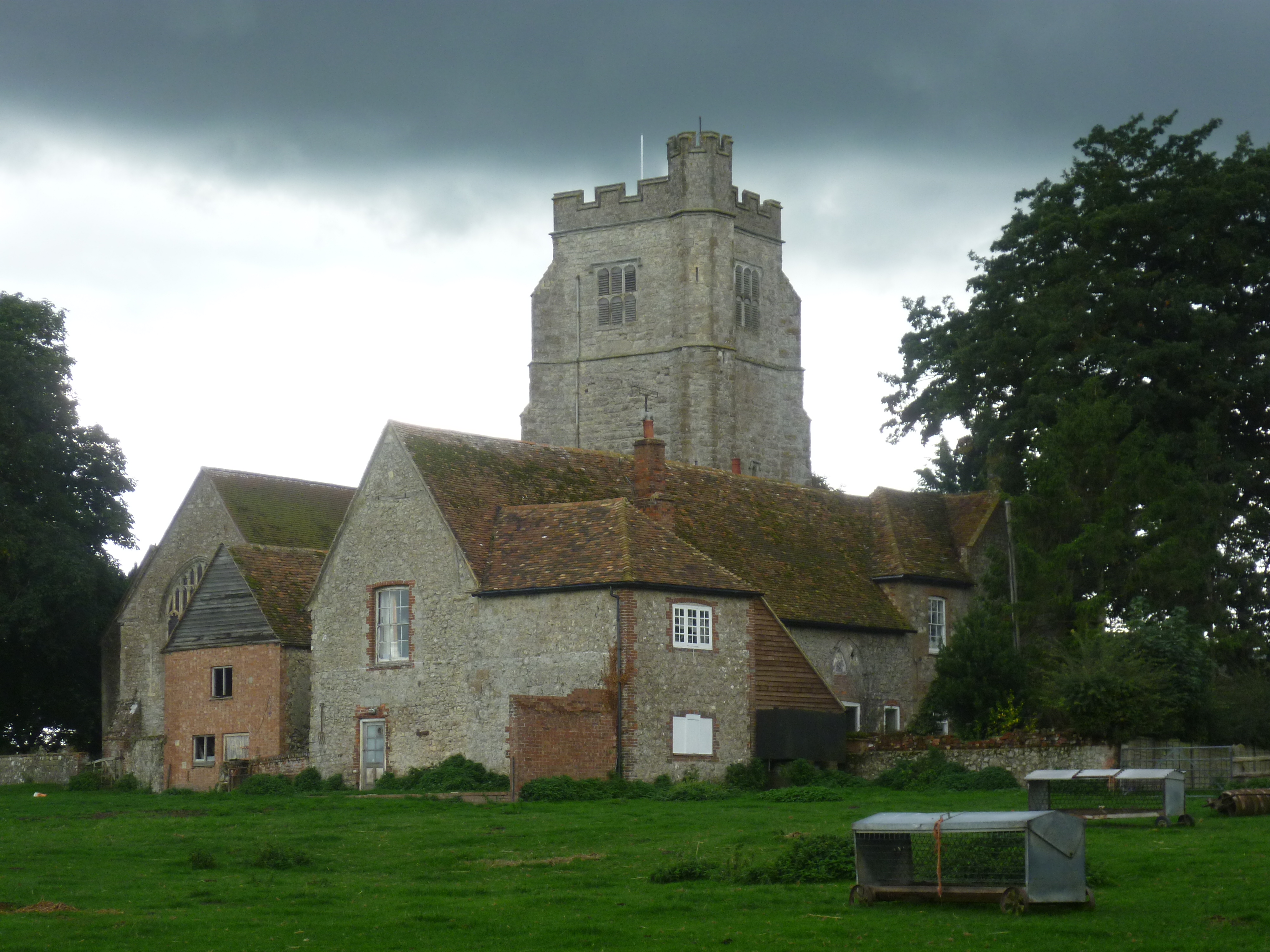
Goldenhurst Farm
Goldenhurst Farm (now Goldenhurst Manor and The Old House, Goldenhurst) is a country house of 17th-century origins in the village of Aldington, Kent,...
Bonnington
Bonnington is a dispersed village and civil parish on the northern edge of the Romney Marsh in Ashford District of Kent, England. The village is located...
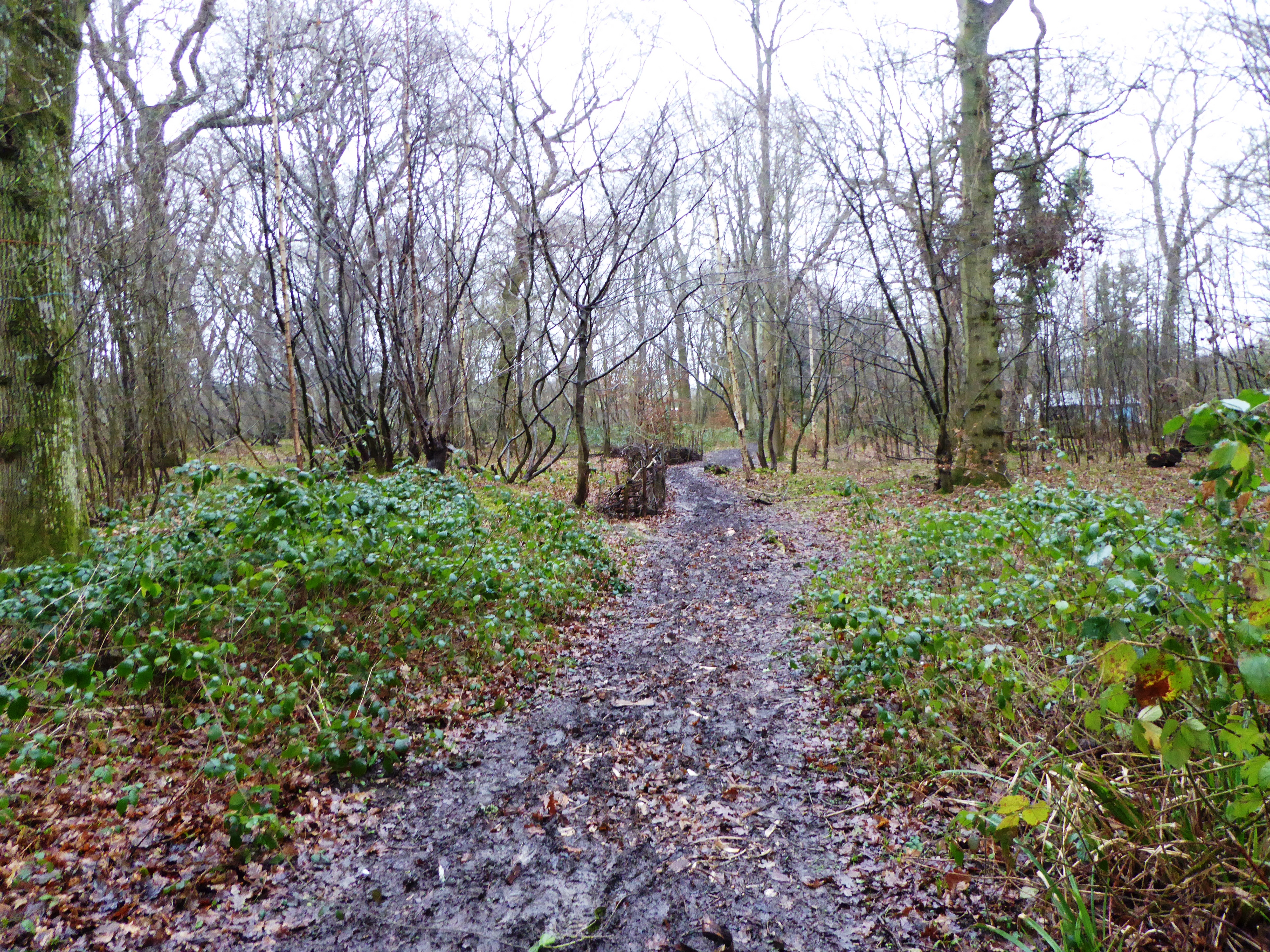
Poulton Wood
Poulton Wood is a 10.2-hectare (25-acre) Local Nature Reserve in Aldington, south-east of Ashford in Kent. It is owned and managed by Canterbury Oast...
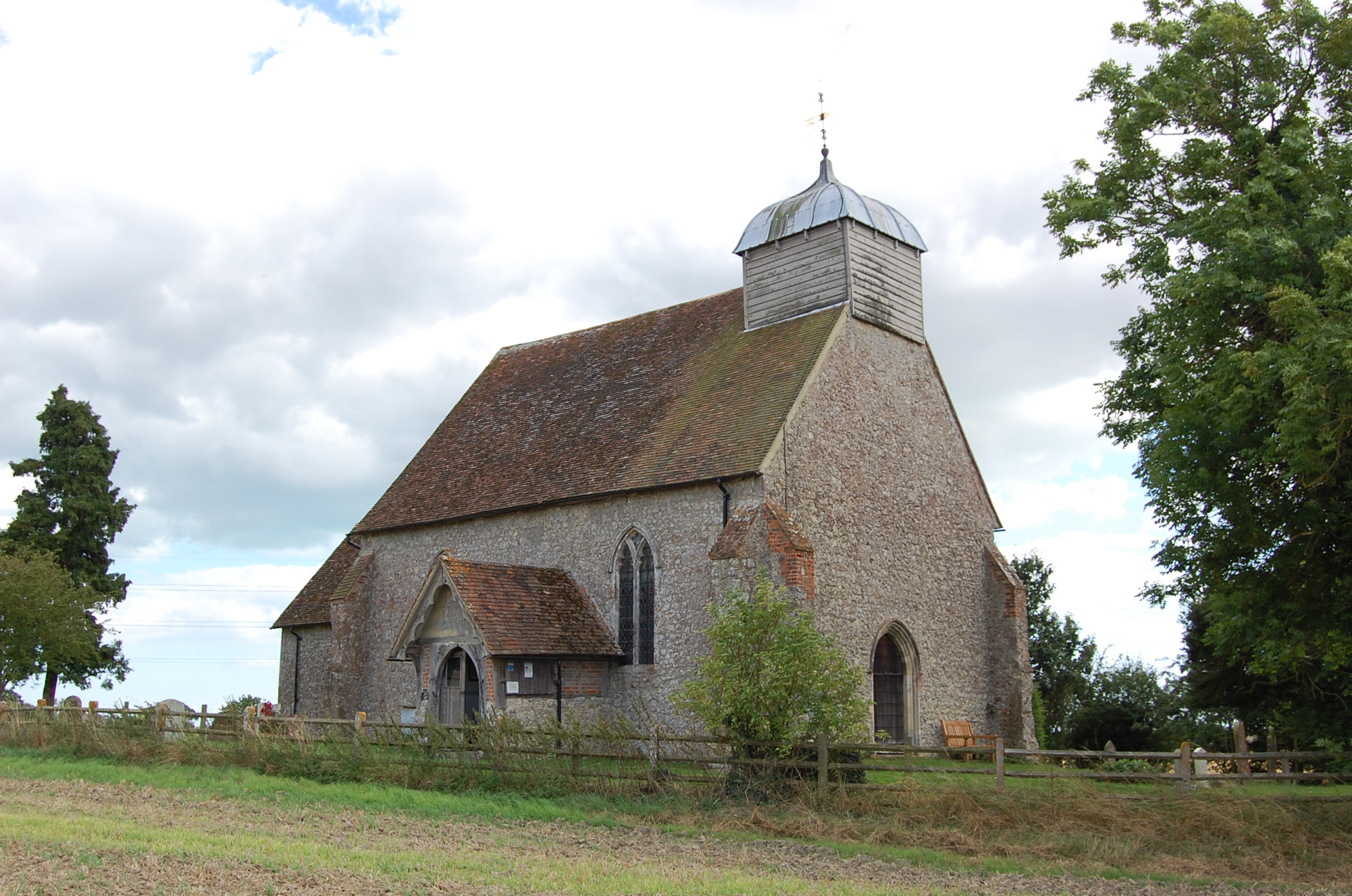
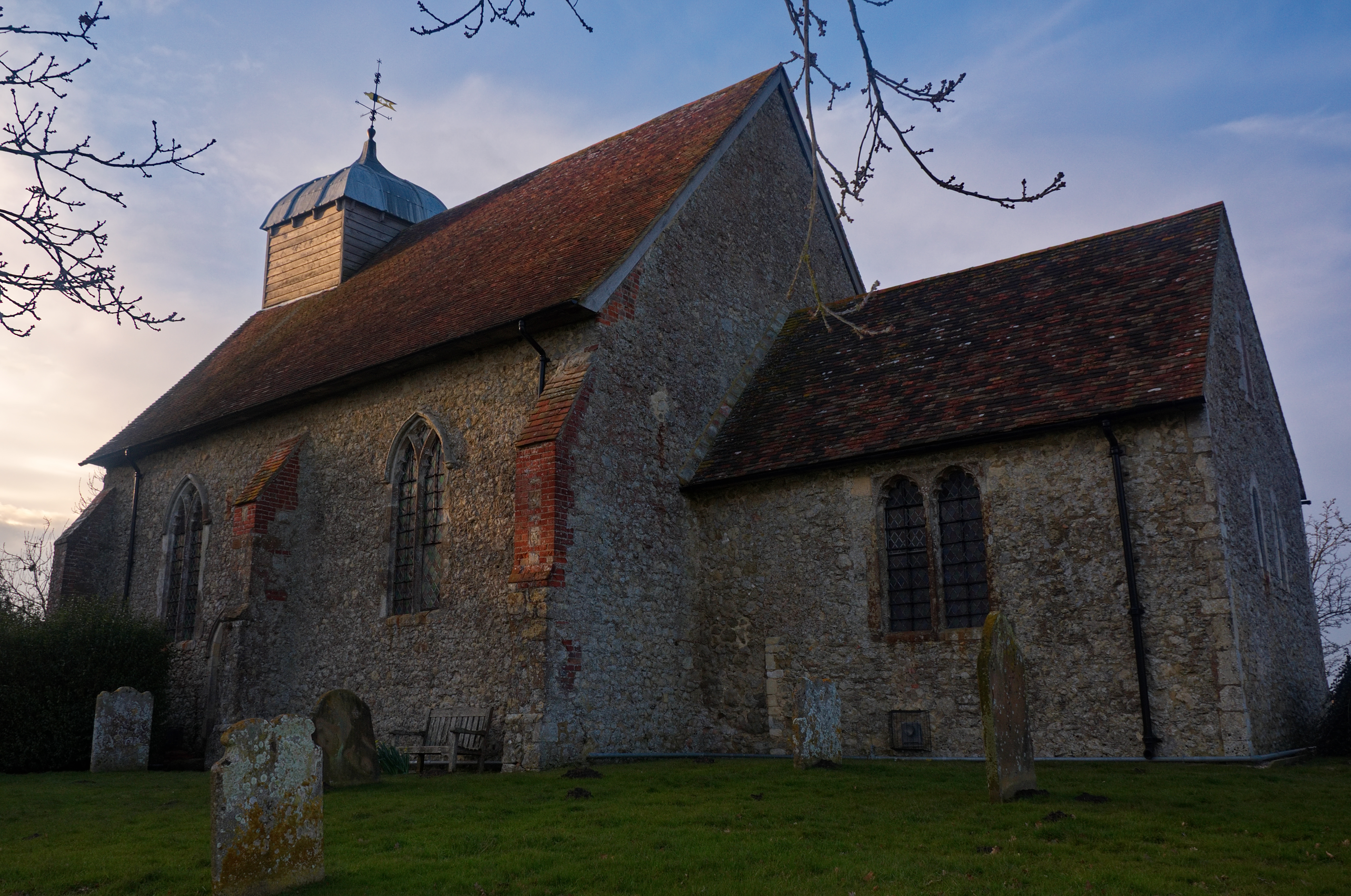
Church of St Rumwold, Bonnington
St Rumwold's Church is an active parish church in the parish of Bonnington, Kent, England. It is a Grade I listed building. == History == Bonnington is...
Aldington, Kent
Aldington is a village and civil parish in the Ashford District of Kent, England. The village centre is eight miles (12 km) south-east of the town of Ashford...

August 1926 Air Union Blériot 155 crash
The August 1926 Air Union Blériot 155 crash happened on 18 August 1926 at Hurst, Kent when Blériot 155 F-AIEB of Air Union hit a barn and crashed whilst...
Bilsington Priory
Bilsington Priory is a former Augustinian priory in Kent, England, about 3⁄4 mile (1 km) north of Bilsington and about 5 miles (8 km) south of Ashford...
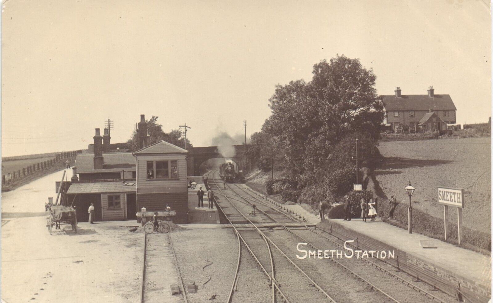
Smeeth railway station
Smeeth is a disused railway station on the South Eastern Main Line which served the village of Smeeth in Kent, England. The station opened in 1852 and...
Nearby Amenities
Located within 500m of 51.081172,0.95380882Have you been to St John's Wood?
Leave your review of St John's Wood below (or comments, questions and feedback).