White's Wood
Wood, Forest in Kent Ashford
England
White's Wood
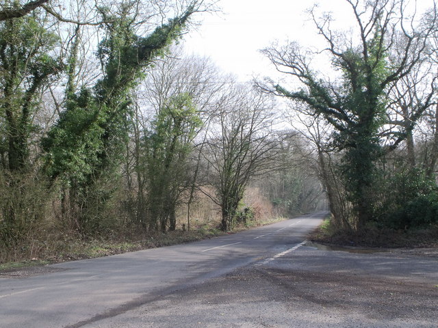
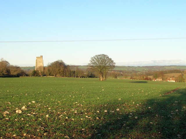
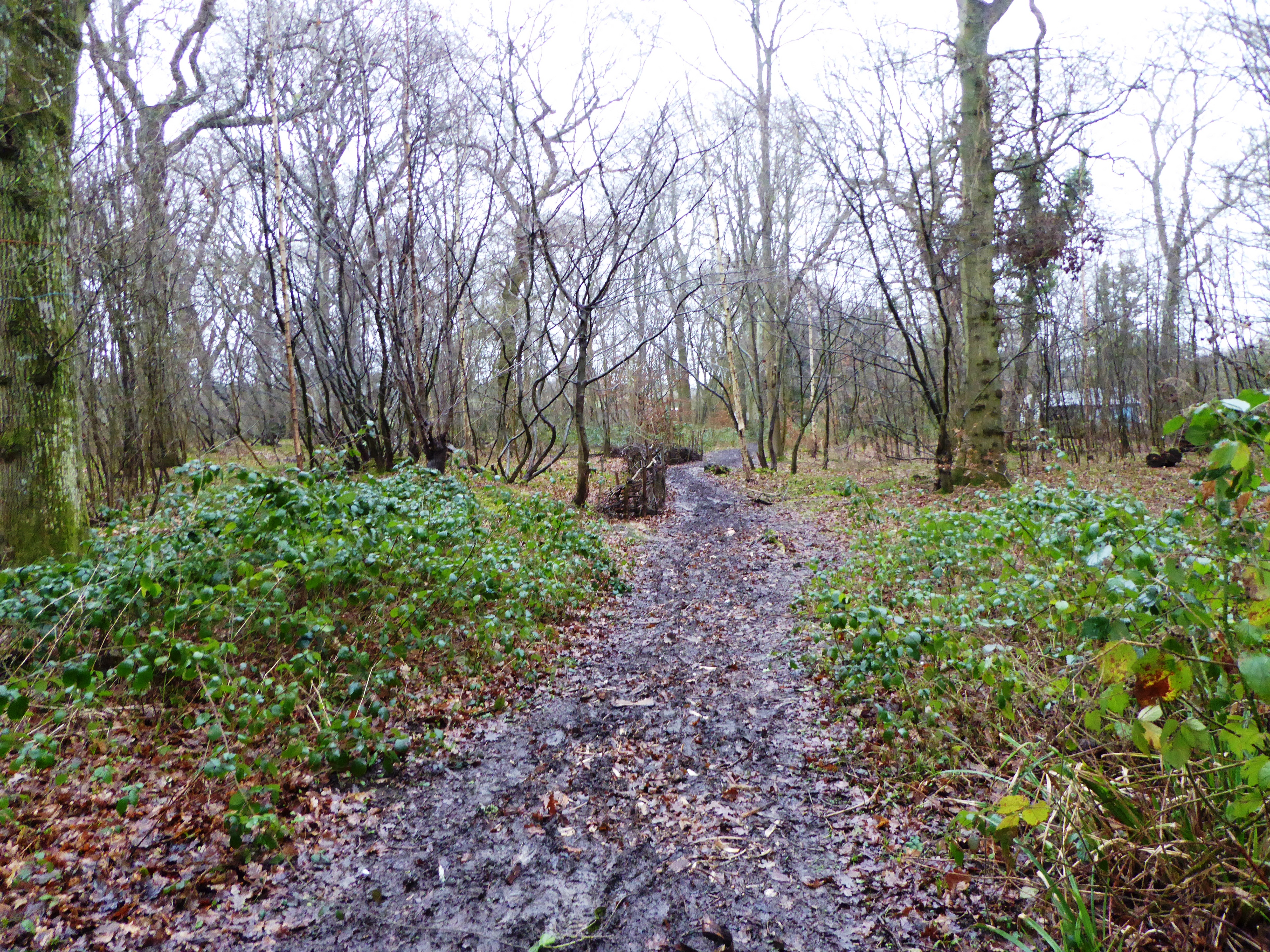
White's Wood is a picturesque forest located in Kent, England. Covering an area of approximately 50 acres, it is a popular destination for nature enthusiasts and outdoor adventurers. The wood is named after the White family, who once owned the land.
The forest is characterized by its diverse range of tree species, including oak, beech, ash, and birch. The towering trees create a dense canopy, casting dappled sunlight on the forest floor below. This creates a tranquil and enchanting atmosphere, perfect for peaceful walks and exploration.
White's Wood is home to a variety of wildlife, making it a haven for nature lovers. Birdwatchers can spot species such as woodpeckers, owls, and various songbirds. Squirrels and rabbits are also commonly seen darting through the undergrowth.
Several well-maintained walking trails wind through the forest, offering visitors the opportunity to immerse themselves in nature. These trails range in difficulty, catering to both casual strollers and avid hikers. Along the way, well-placed benches and picnic areas provide spots for relaxation and enjoying the surroundings.
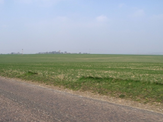
The wood is easily accessible, with ample parking available nearby. It attracts visitors throughout the year, who come to witness the changing seasons and the beauty they bring to the forest. In spring, the forest floor is carpeted with bluebells, creating a magical sight. In autumn, the trees explode with vibrant hues of red, orange, and gold, providing a stunning backdrop for photographers.
Overall, White's Wood is a captivating natural landscape, offering a peaceful retreat from the hustle and bustle of everyday life.
If you have any feedback on the listing, please let us know in the comments section below.
White's Wood Images
Images are sourced within 2km of 51.078325/0.94685927 or Grid Reference TR0635. Thanks to Geograph Open Source API. All images are credited.


White's Wood is located at Grid Ref: TR0635 (Lat: 51.078325, Lng: 0.94685927)
Administrative County: Kent
District: Ashford
Police Authority: Kent
What 3 Words
///grapevine.quirky.original. Near Lympne, Kent
Nearby Locations
Related Wikis
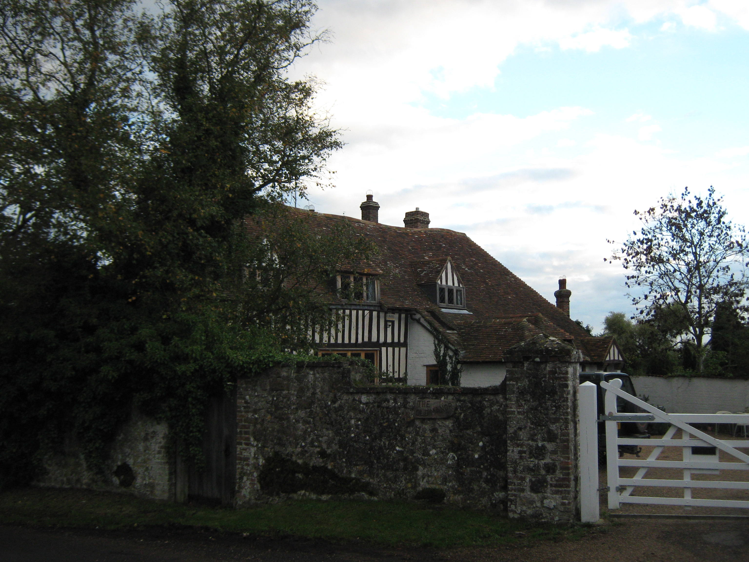
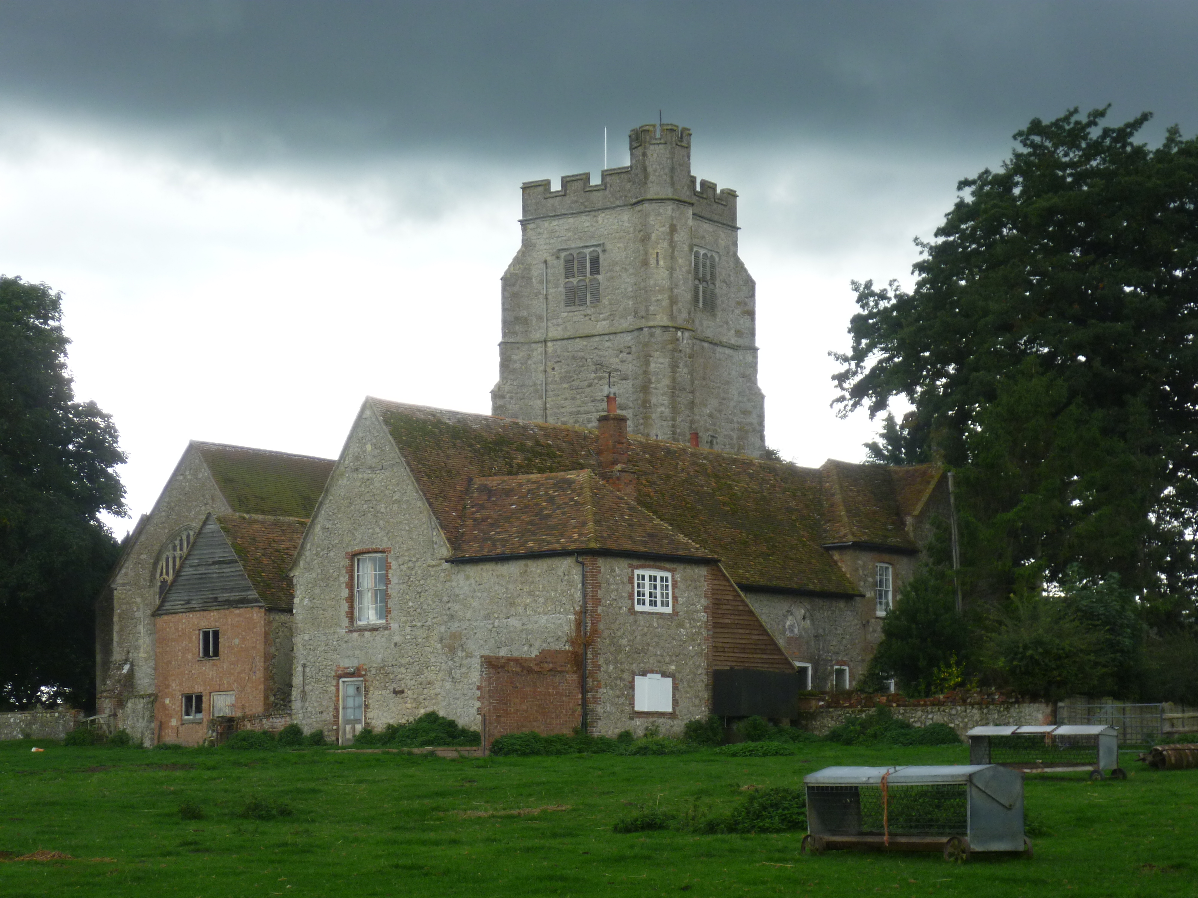
Goldenhurst Farm
Goldenhurst Farm (now Goldenhurst Manor and The Old House, Goldenhurst) is a country house of 17th-century origins in the village of Aldington, Kent,...
Bonnington
Bonnington is a dispersed village and civil parish on the northern edge of the Romney Marsh in Ashford District of Kent, England. The village is located...
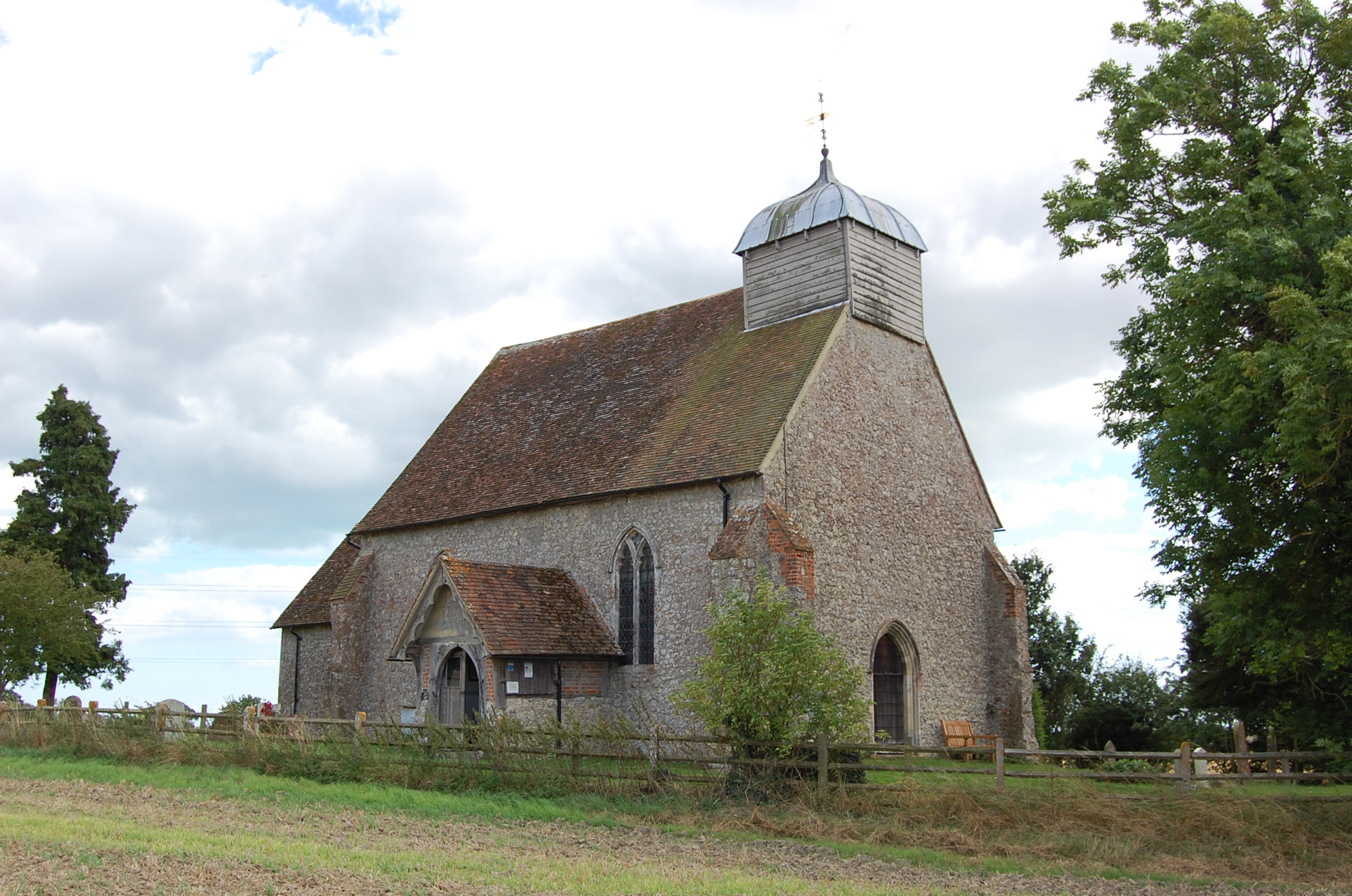
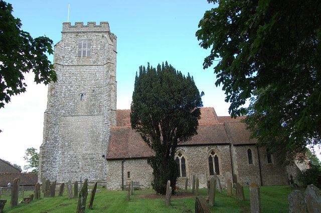
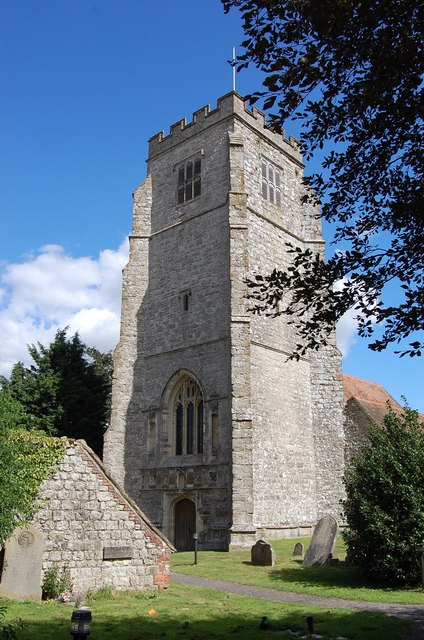
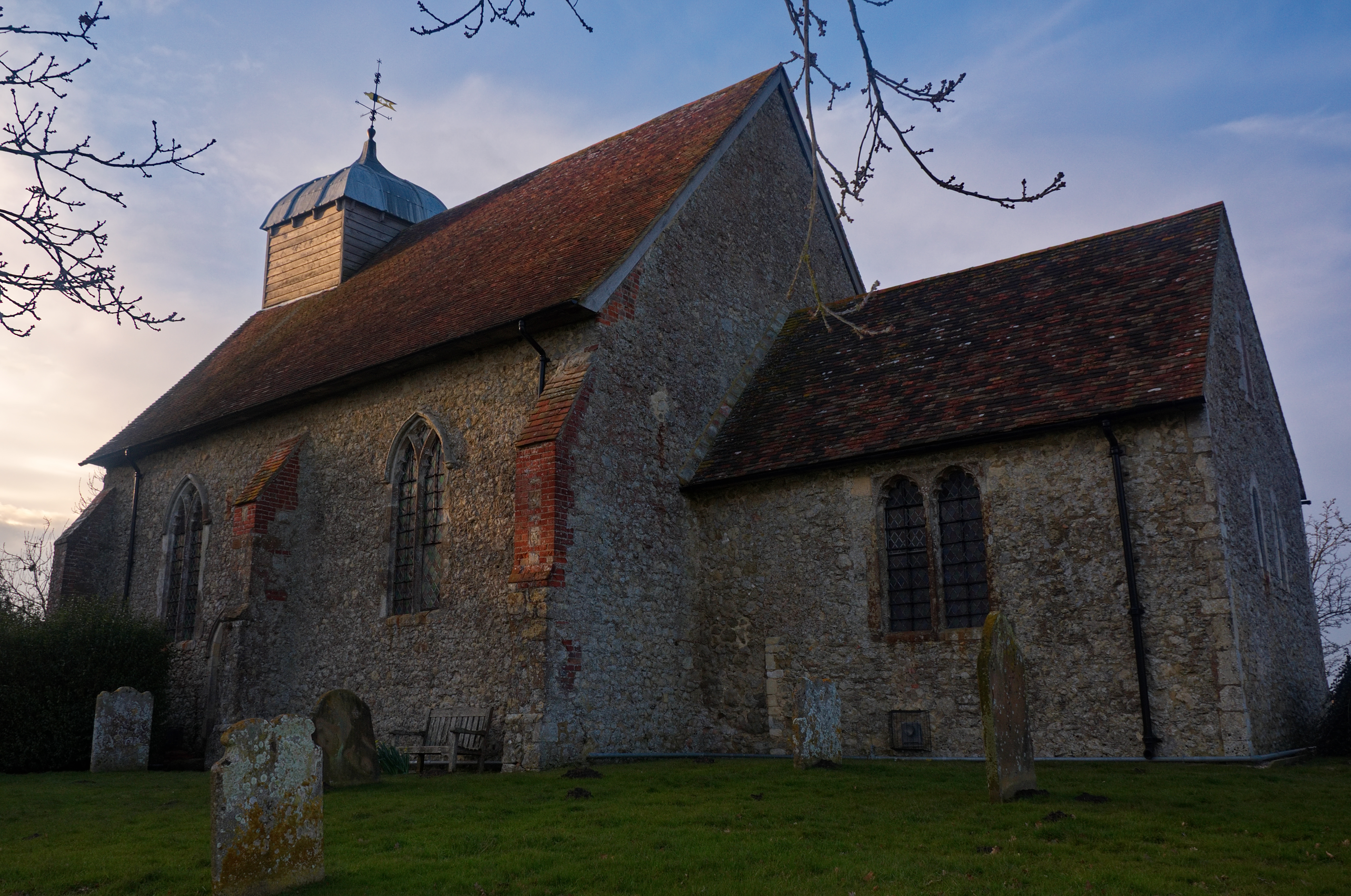
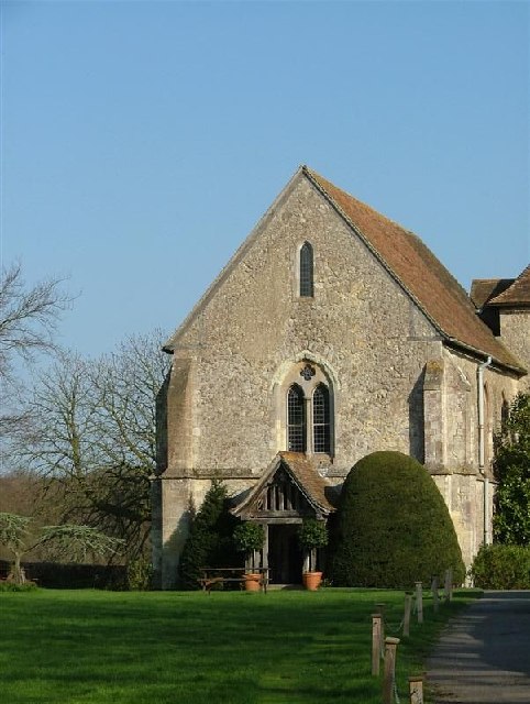
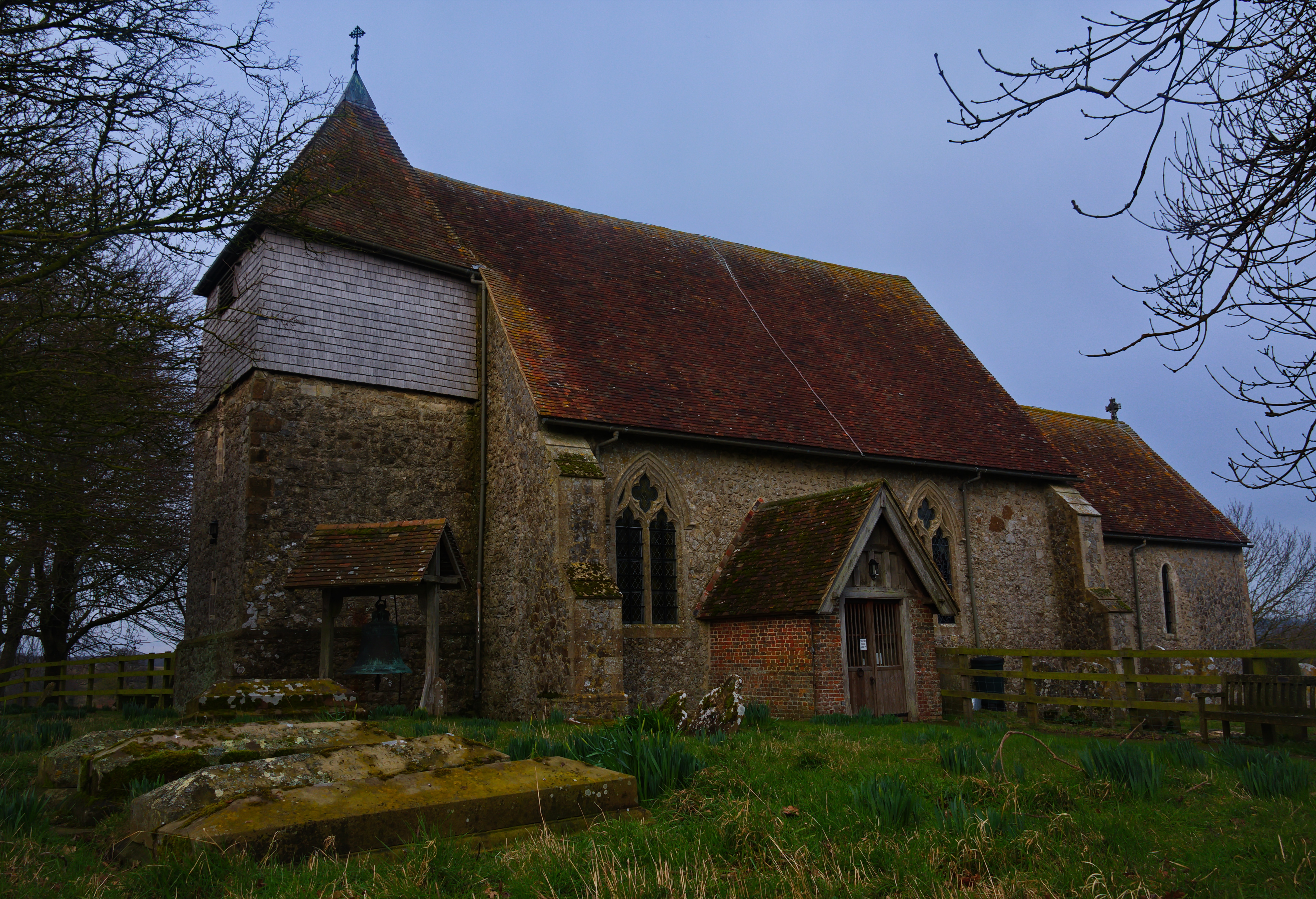
Church of St Rumwold, Bonnington
St Rumwold's Church is an active parish church in the parish of Bonnington, Kent, England. It is a Grade I listed building. == History == Bonnington is...
Poulton Wood
Poulton Wood is a 10.2-hectare (25-acre) Local Nature Reserve in Aldington, south-east of Ashford in Kent. It is owned and managed by Canterbury Oast...
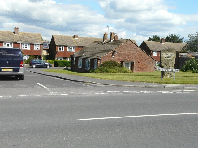
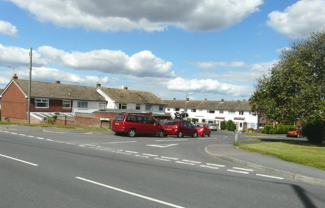
Aldington, Kent
Aldington is a village and civil parish in the Ashford District of Kent, England. The village centre is eight miles (12 km) south-east of the town of Ashford...
Bilsington Priory
Bilsington Priory is a former Augustinian priory in Kent, England, about 3⁄4 mile (1 km) north of Bilsington and about 5 miles (8 km) south of Ashford...

August 1926 Air Union Blériot 155 crash
The August 1926 Air Union Blériot 155 crash happened on 18 August 1926 at Hurst, Kent when Blériot 155 F-AIEB of Air Union hit a barn and crashed whilst...
Bilsington
Bilsington is a village and civil parish in the Ashford district of Kent, England. The village is about 5 miles (8 km) south of Ashford, on the B2067 road...
Nearby Amenities
Located within 500m of 51.078325,0.94685927Have you been to White's Wood?
Leave your review of White's Wood below (or comments, questions and feedback).