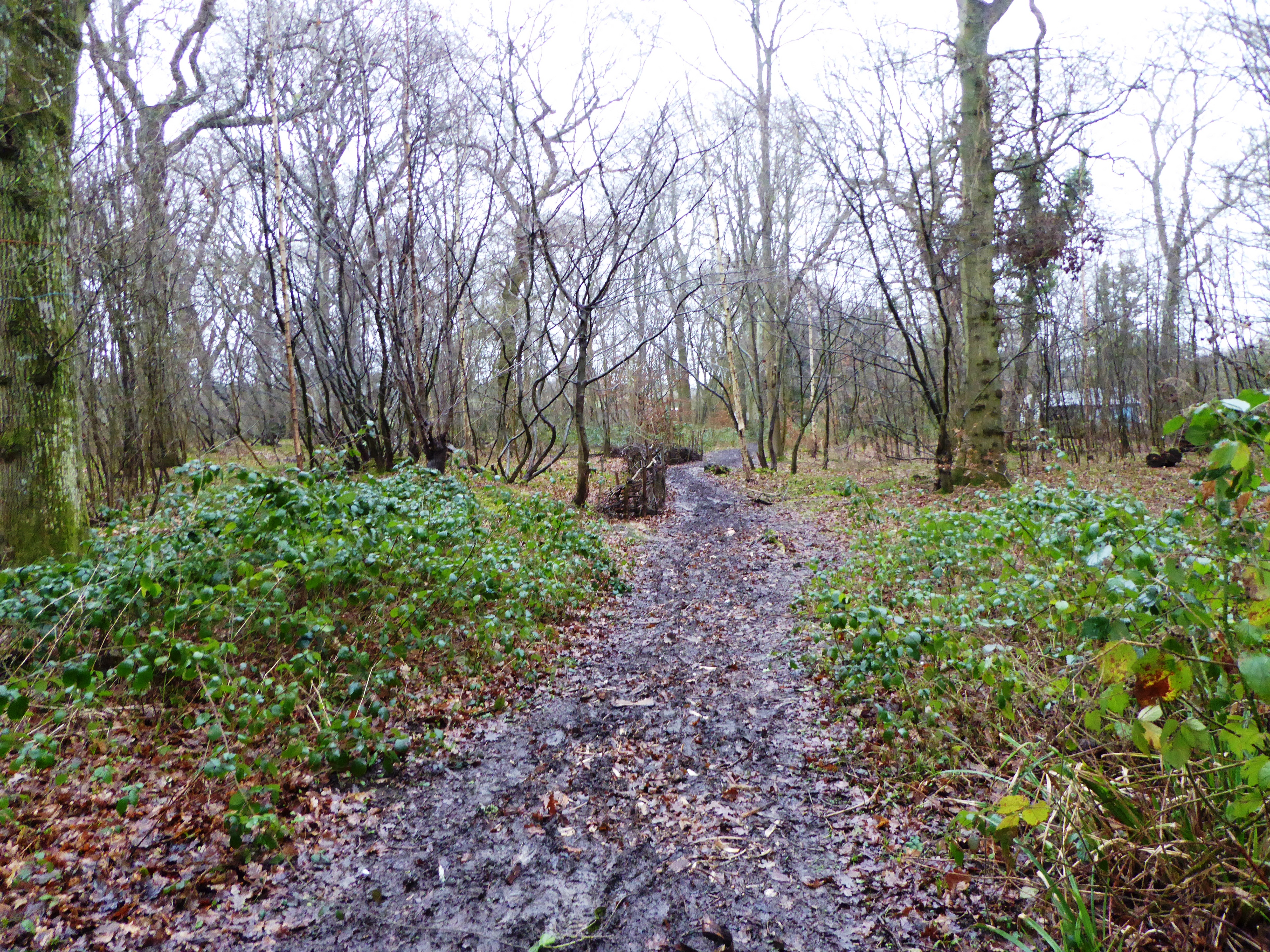
Stockshill Wood
Wood, Forest in Kent Ashford
England
Stockshill Wood
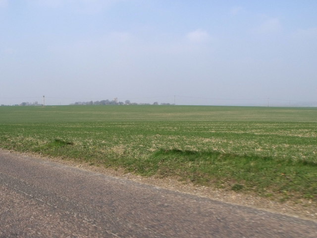
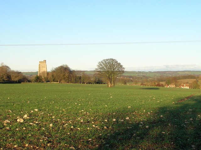
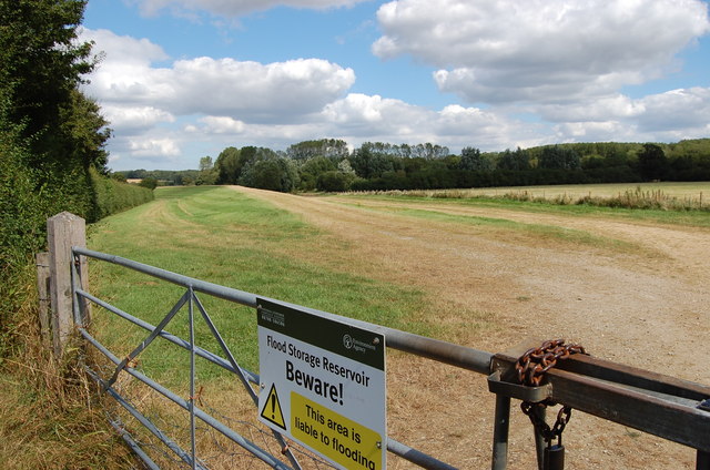
Stockshill Wood is a picturesque woodland located in the county of Kent, England. Spanning over an area of approximately 100 acres, it is a popular destination for nature enthusiasts and those seeking tranquility amidst the beauty of nature. The wood is situated near the village of Stockshill, within close proximity to other natural attractions such as the Kent Downs Area of Outstanding Natural Beauty.
The wood is characterized by its diverse range of tree species, including oak, beech, ash, and cherry trees, which provide a stunning display of colors throughout the seasons. The dense canopy created by these trees creates a cool and shaded environment, perfect for leisurely walks or picnics on warm summer days. Numerous well-maintained footpaths and trails wind their way through the wood, offering visitors the opportunity to explore its depths and discover hidden gems along the way.
Stockshill Wood is not only a haven for flora but also a sanctuary for various wildlife species. Birdwatchers can spot a variety of birds, including woodpeckers and owls, while small mammals such as squirrels and rabbits can often be seen darting across the forest floor. The wood also boasts a rich insect population, with butterflies and dragonflies adding to the vibrant tapestry of life within its boundaries.
In addition to its natural beauty, Stockshill Wood holds historical significance. The wood was once part of a larger estate and contains remnants of old buildings, providing a glimpse into the area's past.
Overall, Stockshill Wood offers a serene escape from the hustle and bustle of modern life, allowing visitors to connect with nature and enjoy the peaceful ambiance of this enchanting woodland.
If you have any feedback on the listing, please let us know in the comments section below.
Stockshill Wood Images
Images are sourced within 2km of 51.083041/0.9499723 or Grid Reference TR0635. Thanks to Geograph Open Source API. All images are credited.


Stockshill Wood is located at Grid Ref: TR0635 (Lat: 51.083041, Lng: 0.9499723)
Administrative County: Kent
District: Ashford
Police Authority: Kent
What 3 Words
///obey.guardian.enveloped. Near Lympne, Kent
Nearby Locations
Related Wikis
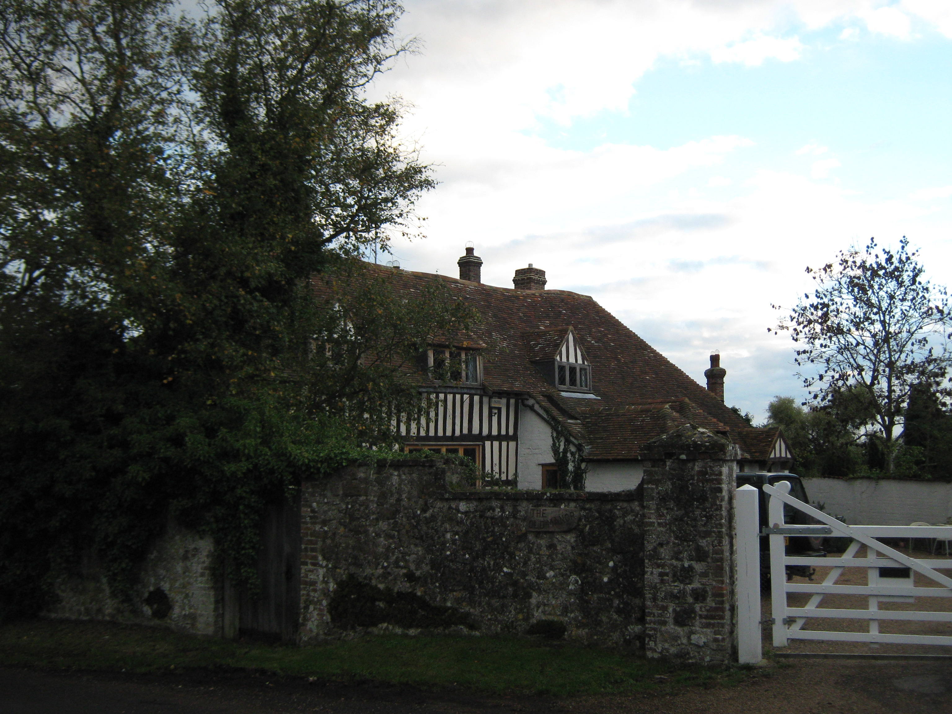
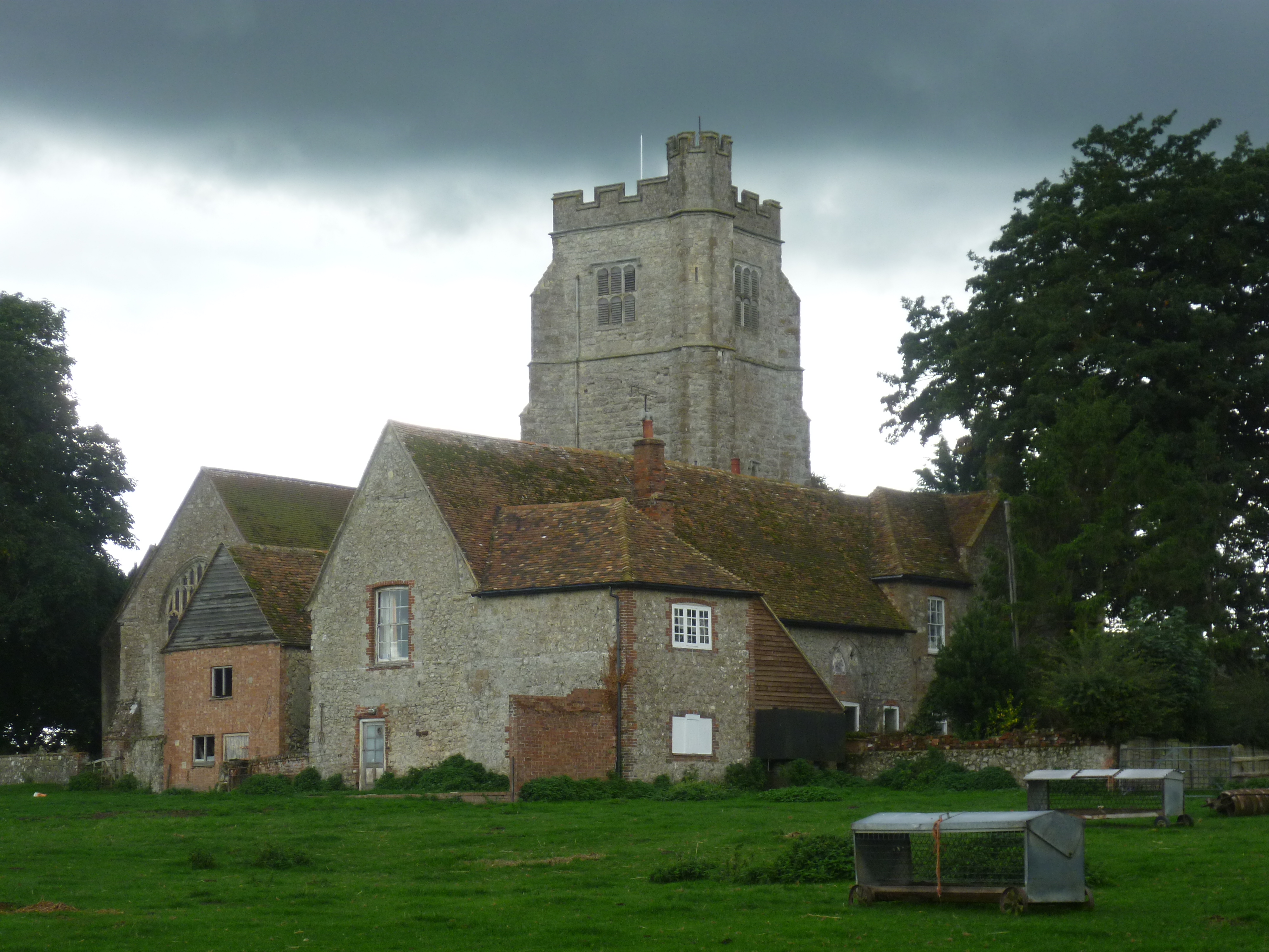
Goldenhurst Farm
Goldenhurst Farm (now Goldenhurst Manor and The Old House, Goldenhurst) is a country house of 17th-century origins in the village of Aldington, Kent,...
Poulton Wood
Poulton Wood is a 10.2-hectare (25-acre) Local Nature Reserve in Aldington, south-east of Ashford in Kent. It is owned and managed by Canterbury Oast...
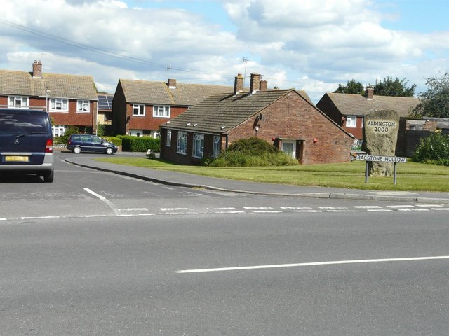
Bonnington
Bonnington is a dispersed village and civil parish on the northern edge of the Romney Marsh in Ashford District of Kent, England. The village is located...
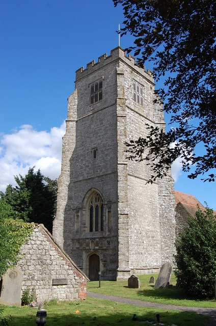
Aldington, Kent
Aldington is a village and civil parish in the Ashford District of Kent, England. The village centre is eight miles (12 km) south-east of the town of Ashford...
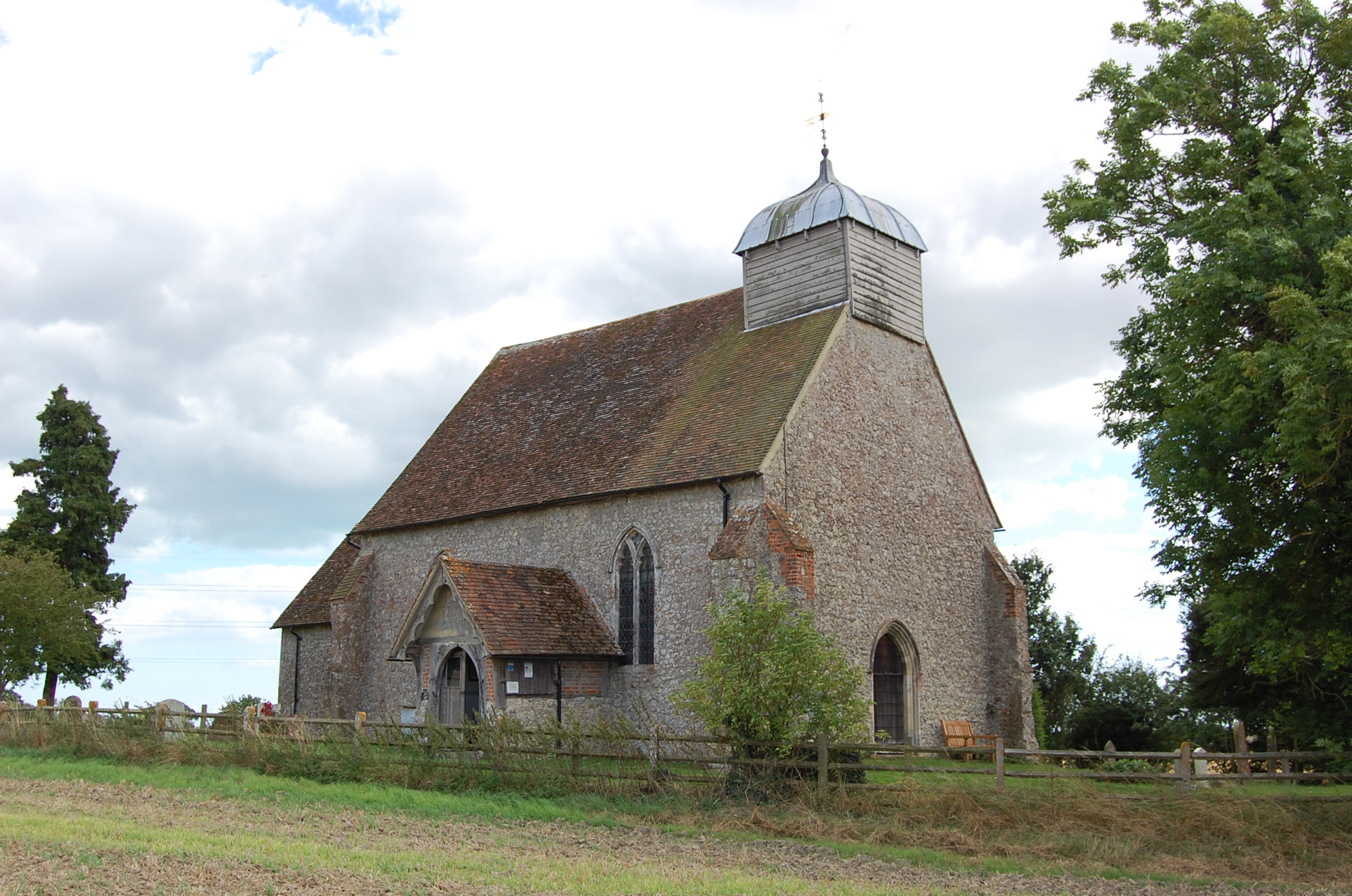
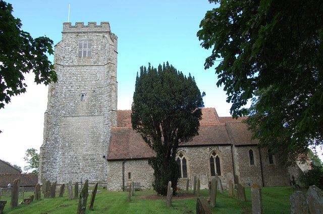
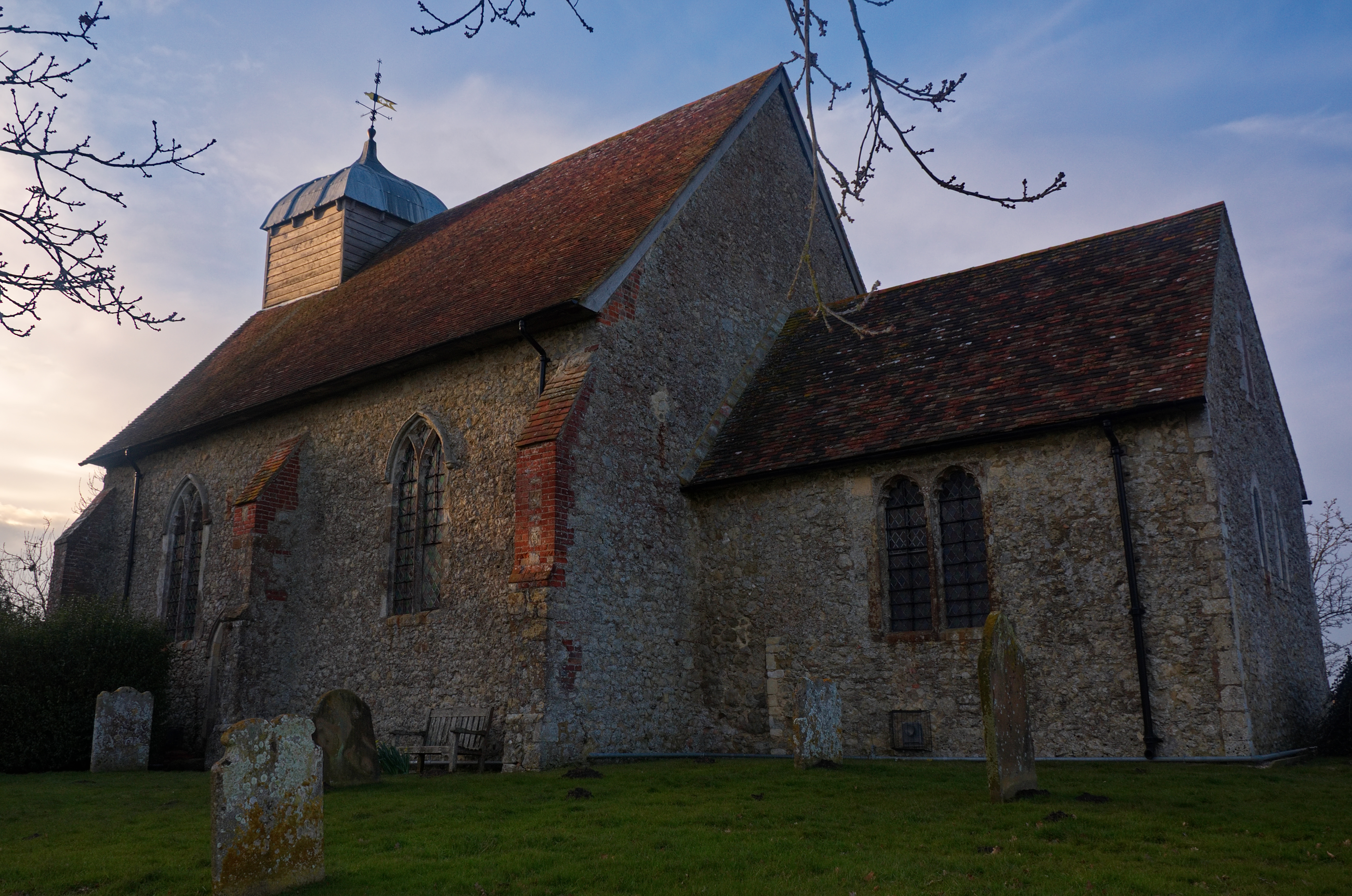
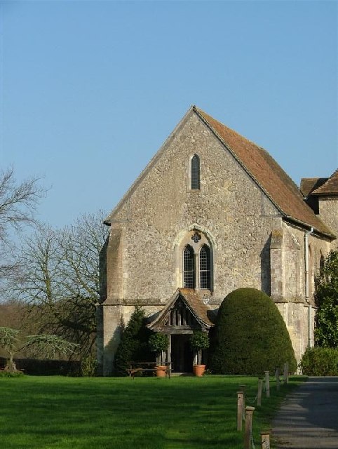
Church of St Rumwold, Bonnington
St Rumwold's Church is an active parish church in the parish of Bonnington, Kent, England. It is a Grade I listed building. == History == Bonnington is...
Bilsington Priory
Bilsington Priory is a former Augustinian priory in Kent, England, about 3⁄4 mile (1 km) north of Bilsington and about 5 miles (8 km) south of Ashford...
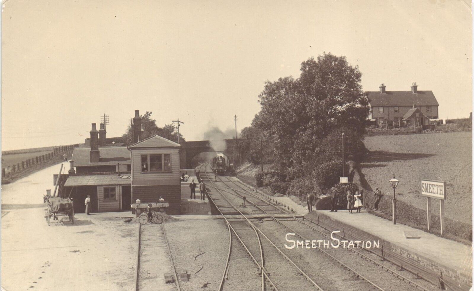
Smeeth railway station
Smeeth is a disused railway station on the South Eastern Main Line which served the village of Smeeth in Kent, England. The station opened in 1852 and...

August 1926 Air Union Blériot 155 crash
The August 1926 Air Union Blériot 155 crash happened on 18 August 1926 at Hurst, Kent when Blériot 155 F-AIEB of Air Union hit a barn and crashed whilst...
Nearby Amenities
Located within 500m of 51.083041,0.9499723Have you been to Stockshill Wood?
Leave your review of Stockshill Wood below (or comments, questions and feedback).