Ash Covert
Wood, Forest in Suffolk Mid Suffolk
England
Ash Covert
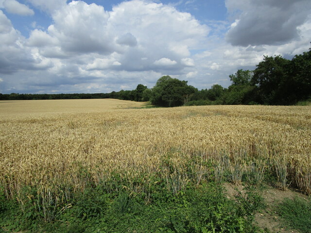
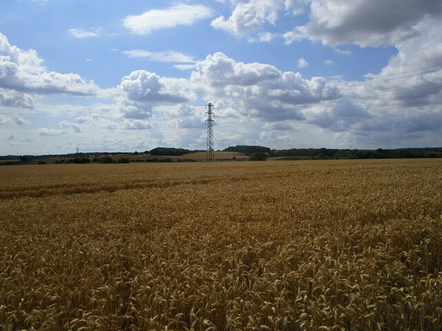
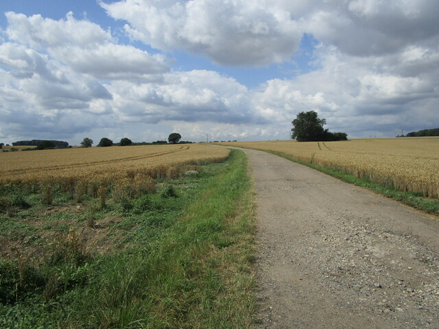
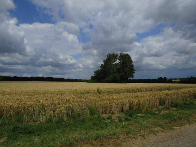
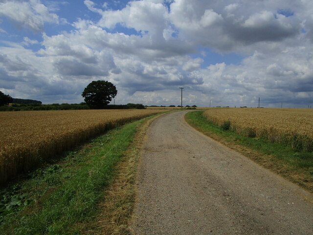
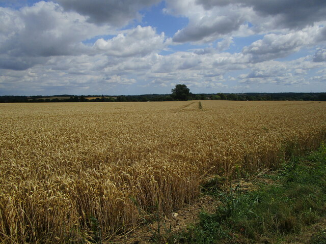
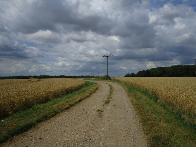
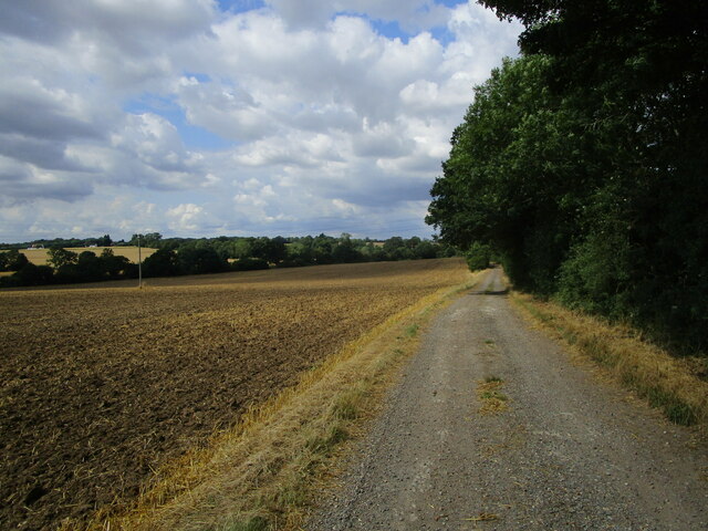
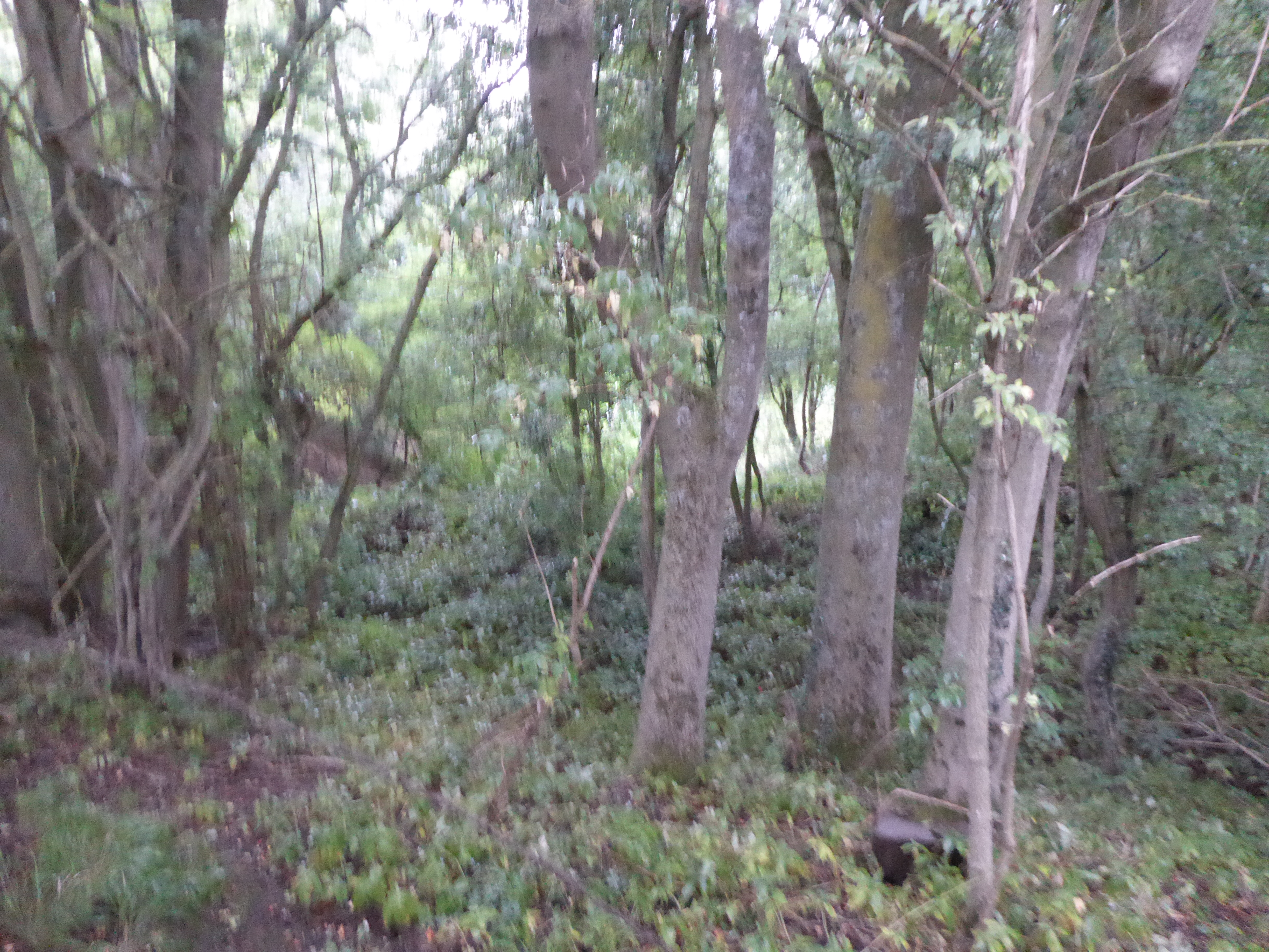
Ash Covert is a picturesque woodland area located in Suffolk, England. Nestled within the heart of the county, this captivating forest is known for its natural beauty and serene surroundings. Covering an area of approximately 500 acres, Ash Covert is a haven for nature enthusiasts and provides a tranquil escape from the hustle and bustle of everyday life.
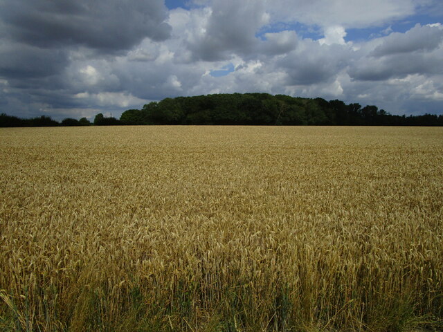
The woodland is primarily composed of ash trees, which lend their name to this enchanting forest. The tall, slender trunks of the ash trees create a dense canopy that filters sunlight, casting dappled shadows on the forest floor. The vibrant green foliage provides a home to a diverse array of flora and fauna, making it a popular spot for wildlife enthusiasts and birdwatchers.
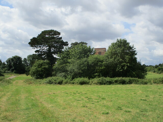
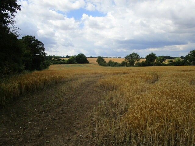
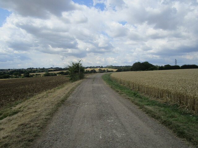
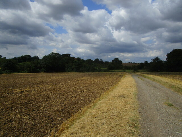
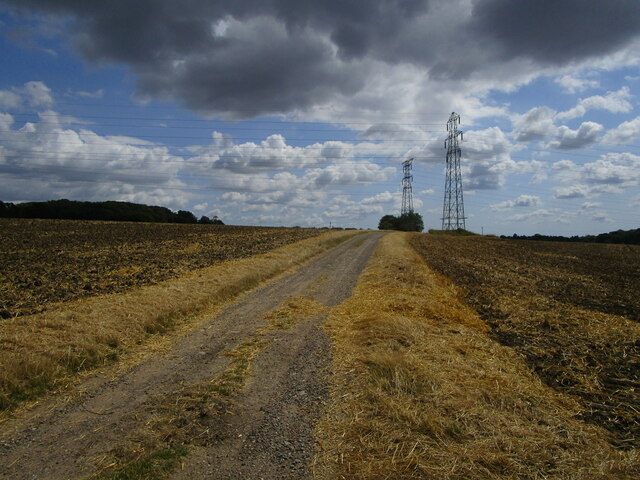
Ash Covert offers a network of well-maintained walking trails, allowing visitors to explore the forest at their own pace. The paths wind through the dense undergrowth, passing by babbling brooks, moss-covered rocks, and vibrant wildflowers. Nature lovers can enjoy the soothing sounds of birdsong and the rustling of leaves as they immerse themselves in the tranquility of this woodland paradise.
The forest is also home to a variety of wildlife, including deer, squirrels, and a plethora of bird species. Visitors may be lucky enough to catch a glimpse of a majestic deer grazing among the trees or spot a red squirrel darting through the branches. Ash Covert provides a wonderful opportunity for nature photography and wildlife observation.
Overall, Ash Covert in Suffolk is a captivating woodland that offers a peaceful retreat for those seeking solace in nature. Its lush greenery, diverse wildlife, and well-maintained trails make it a must-visit destination for both locals and tourists alike.
If you have any feedback on the listing, please let us know in the comments section below.
Ash Covert Images
Images are sourced within 2km of 52.151028/1.0152393 or Grid Reference TM0654. Thanks to Geograph Open Source API. All images are credited.
Ash Covert is located at Grid Ref: TM0654 (Lat: 52.151028, Lng: 1.0152393)
Administrative County: Suffolk
District: Mid Suffolk
Police Authority: Suffolk
What 3 Words
///accent.movements.detective. Near Needham Market, Suffolk
Nearby Locations
Related Wikis

Battisford
Battisford is a village and civil parish in the Mid Suffolk district of Suffolk, England. The village is about 4 miles (6 km) south of Stowmarket, and...
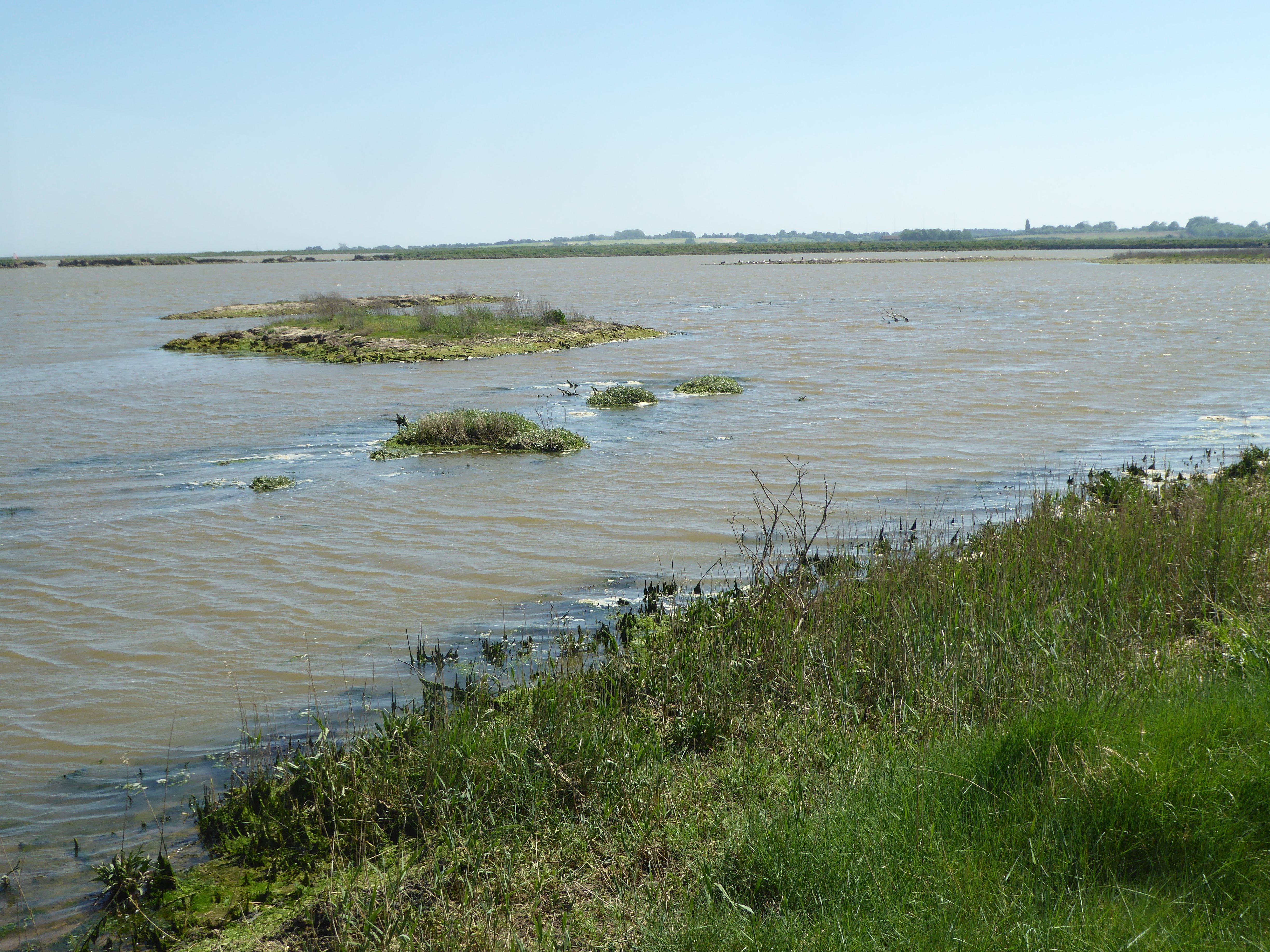
Hascot Hill Pit
Hascot Hill Pit is a 0.3-hectare (0.74-acre) geological Site of Special Scientific Interest south-west of Needham Market in Suffolk. It is a Geological...

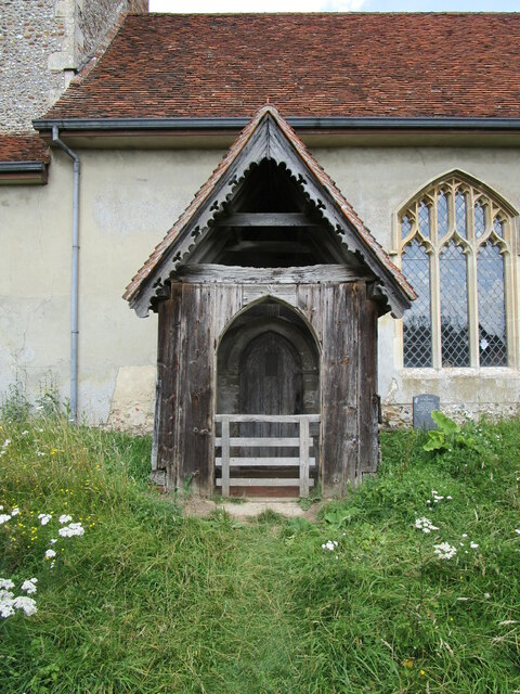
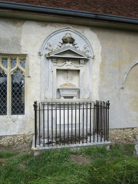
St Mary's Church, Badley
St Mary's Church is a redundant Anglican church in the village of Badley, Suffolk, England. It is recorded in the National Heritage List for England as...

Barking Hall
Barking Hall is a lost country house in Barking, Suffolk, England. It was demolished in 1926.The hall was built in the 18th century with a 7-bay frontage...

Barking, Suffolk
Barking is a village and civil parish in the Mid Suffolk district of the English county of Suffolk. It is 2 miles (3 km) west of Needham Market on the...
Little London, Suffolk
Little London is a village in Suffolk, to the south of Combs and Stowmarket.
Needham Market F.C.
Needham Market Football Club is a football club based in Needham Market, Suffolk, England. They are currently members of the Southern League Premier Division...
Suffolk Wildlife Trust
Suffolk Wildlife Trust (SWT) describes itself as the county's "nature charity – the only organisation dedicated wholly to safeguarding Suffolk's wildlife...
Nearby Amenities
Located within 500m of 52.151028,1.0152393Have you been to Ash Covert?
Leave your review of Ash Covert below (or comments, questions and feedback).