Blackthorn Wood
Wood, Forest in Kent Ashford
England
Blackthorn Wood

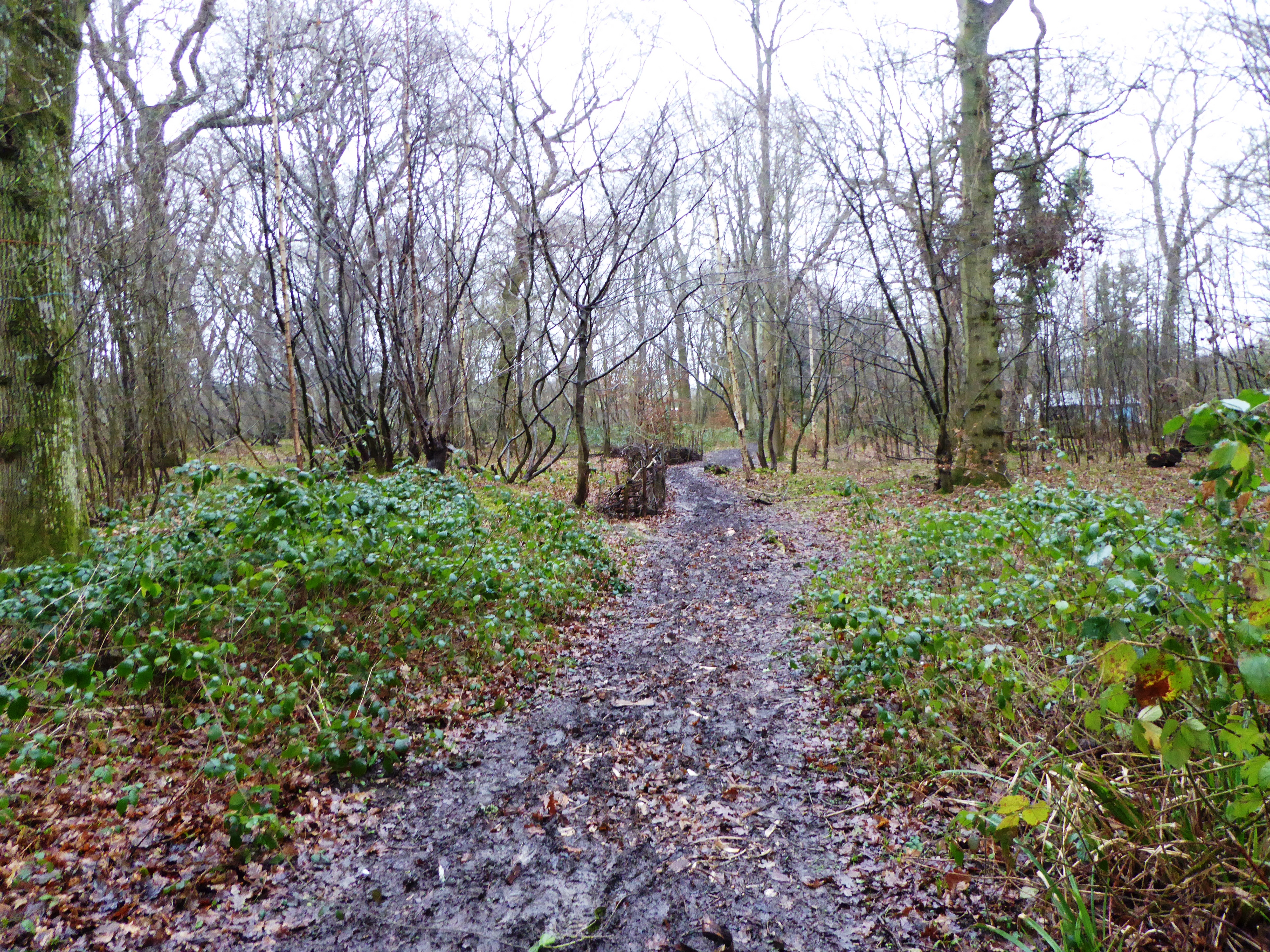
Blackthorn Wood, located in Kent, is a picturesque woodland area known for its dense blackthorn shrubs and diverse array of trees. Spread across several acres, this woodland is part of the larger Blackthorn Forest, which is home to a variety of wildlife and offers a serene escape from the hustle and bustle of urban life.
The woodland is characterized by its dense canopy, created by tall, mature trees such as oak, birch, and ash. These trees provide ample shade and create a tranquil atmosphere, making it a popular spot for nature enthusiasts and hikers alike. The forest floor is covered in a carpet of vibrant ferns, wildflowers, and mosses, adding to its natural beauty.
Blackthorn Wood is particularly renowned for its blackthorn shrubs, which dominate the understory. These shrubs, with their jagged branches and thorny appearance, create a unique and somewhat mystical ambiance. In spring, the blackthorn bushes burst into a blanket of delicate white flowers, creating a stunning contrast against the dark green foliage.
Wildlife thrives in Blackthorn Wood, with a wide range of bird species, including woodpeckers and owls, calling it home. The woodland is also home to small mammals such as foxes, badgers, and squirrels, and occasionally larger animals such as deer can be spotted.
Visitors to Blackthorn Wood can enjoy walking along its well-maintained trails, observing the flora and fauna, or simply finding a peaceful spot to relax and take in the beauty of nature. The wood is open to the public year-round, and its tranquil setting makes it an ideal destination for nature lovers and those seeking a respite from the urban chaos.
If you have any feedback on the listing, please let us know in the comments section below.
Blackthorn Wood Images
Images are sourced within 2km of 51.086233/0.94571978 or Grid Reference TR0636. Thanks to Geograph Open Source API. All images are credited.


Blackthorn Wood is located at Grid Ref: TR0636 (Lat: 51.086233, Lng: 0.94571978)
Administrative County: Kent
District: Ashford
Police Authority: Kent
What 3 Words
///lottery.trickled.scam. Near Lympne, Kent
Nearby Locations
Related Wikis
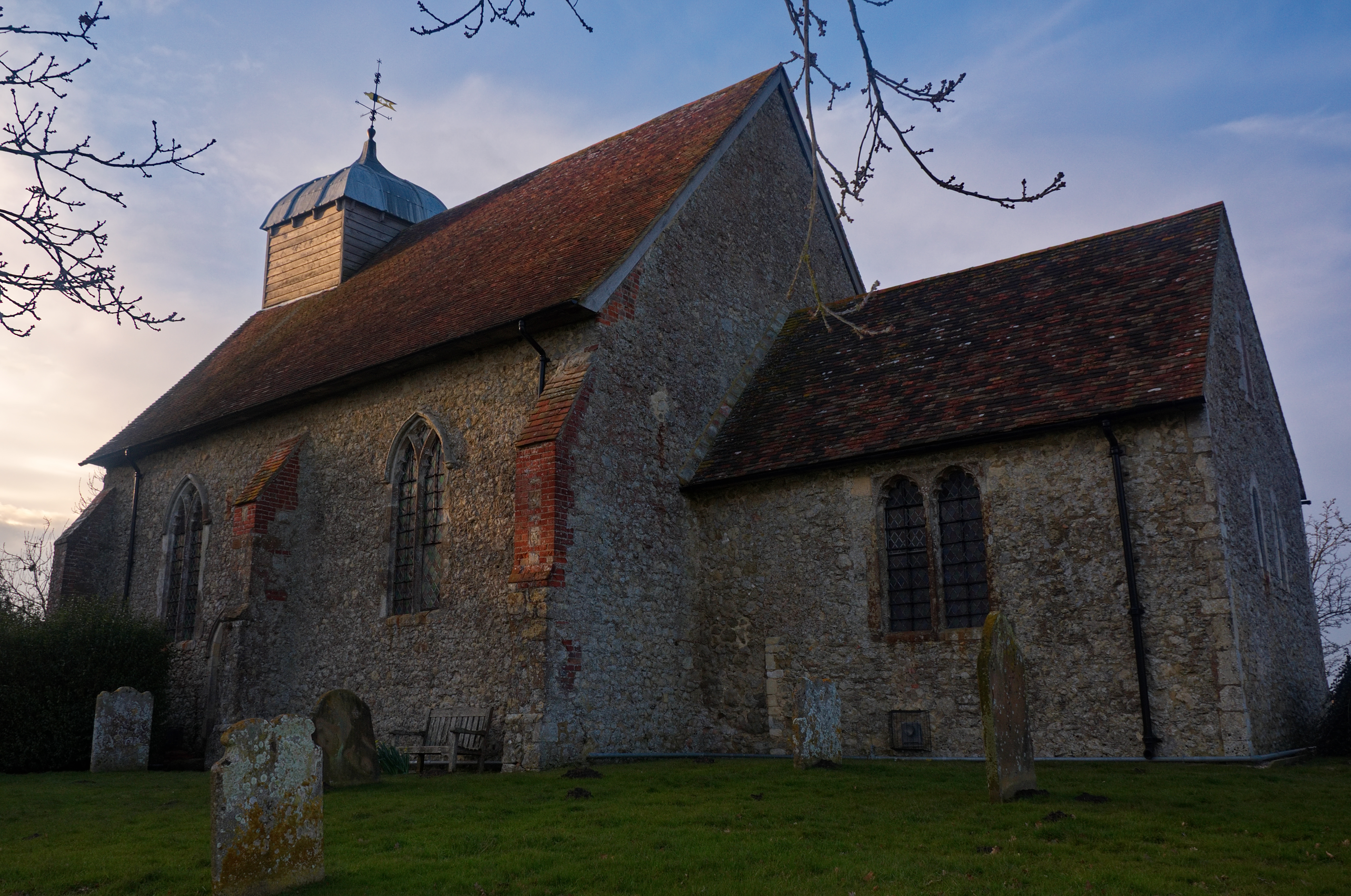
Poulton Wood
Poulton Wood is a 10.2-hectare (25-acre) Local Nature Reserve in Aldington, south-east of Ashford in Kent. It is owned and managed by Canterbury Oast...
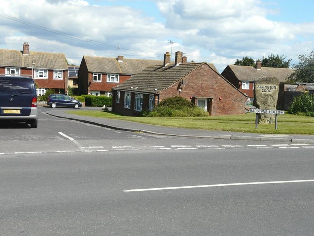
Aldington, Kent
Aldington is a village and civil parish in the Ashford District of Kent, England. The village centre is eight miles (12 km) south-east of the town of Ashford...
Bonnington
Bonnington is a dispersed village and civil parish on the northern edge of the Romney Marsh in Ashford District of Kent, England. The village is located...
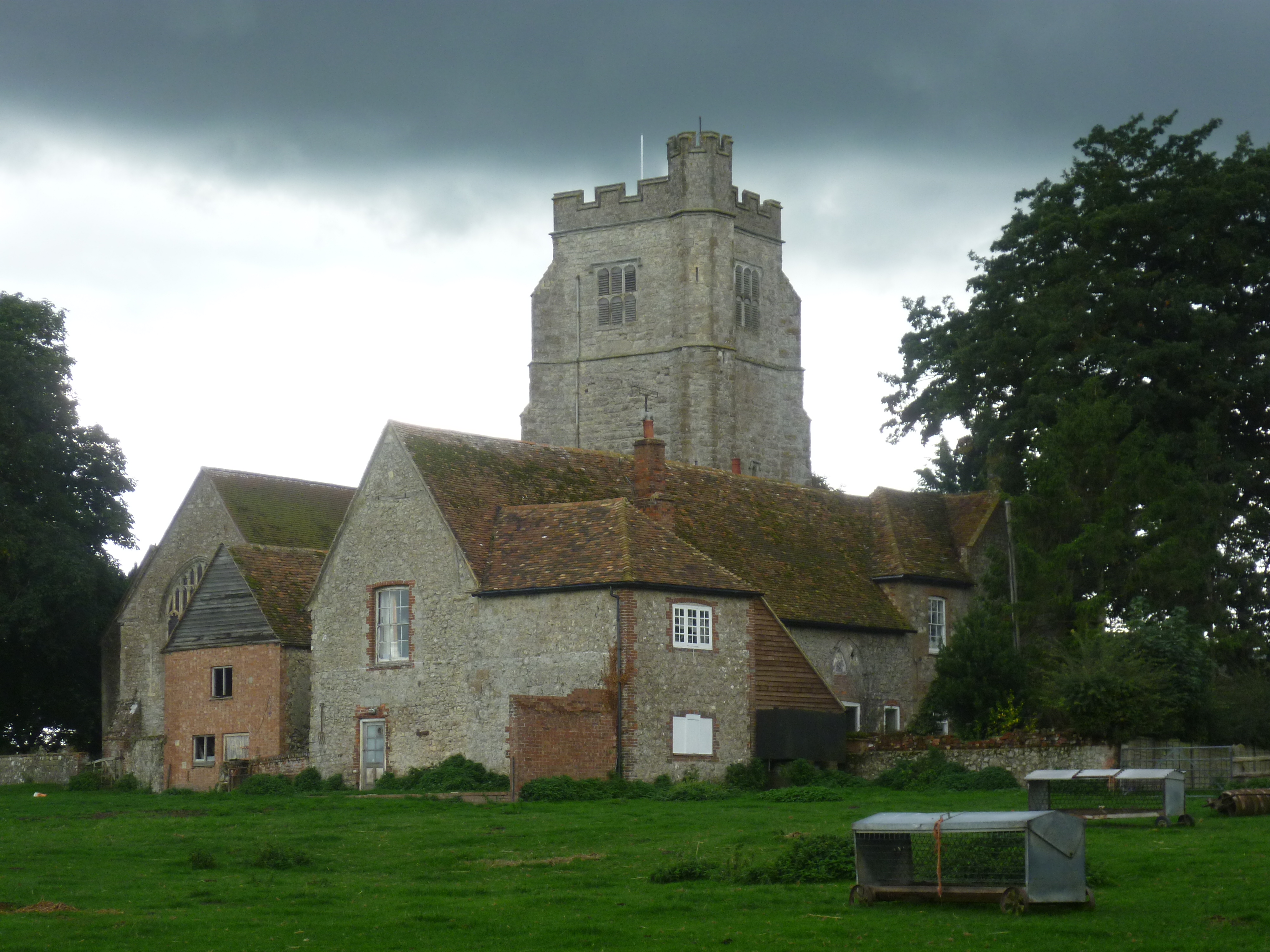
Goldenhurst Farm
Goldenhurst Farm (now Goldenhurst Manor and The Old House, Goldenhurst) is a country house of 17th-century origins in the village of Aldington, Kent,...
Nearby Amenities
Located within 500m of 51.086233,0.94571978Have you been to Blackthorn Wood?
Leave your review of Blackthorn Wood below (or comments, questions and feedback).