Gorewell Wood
Wood, Forest in Kent Ashford
England
Gorewell Wood

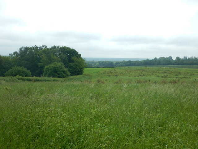
Gorewell Wood, located in the county of Kent, England, is a picturesque woodland that covers an area of approximately 100 acres. Nestled in the heart of the Kent Downs Area of Outstanding Natural Beauty, this ancient forest is a haven of tranquility and natural beauty.
The wood is predominantly composed of broadleaf trees, including oak, beech, and ash, which create a dense canopy, allowing only dappled sunlight to filter through. The forest floor is carpeted with wildflowers, ferns, and mosses, creating a vibrant and diverse ecosystem.
Gorewell Wood is renowned for its rich biodiversity, providing a habitat for a variety of plant and animal species. Birdwatchers can spot a range of woodland birds, such as woodpeckers, owls, and warblers. The wood is also home to mammals like deer, foxes, and badgers, which can occasionally be spotted by lucky visitors.
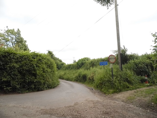
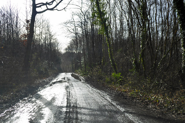
The forest offers numerous walking trails, making it a popular destination for nature enthusiasts and hikers. These trails wind through the wood, taking visitors on a journey through ancient trees and offering breathtaking views of the surrounding countryside.
Gorewell Wood is managed by a local conservation organization, ensuring the preservation of its natural beauty and wildlife. The wood is open to the public year-round, and visitors are encouraged to explore its wonders while respecting its delicate ecosystem.
Overall, Gorewell Wood in Kent is a magical woodland retreat, offering a peaceful escape from the hustle and bustle of everyday life and providing an opportunity to connect with nature in all its glory.
If you have any feedback on the listing, please let us know in the comments section below.
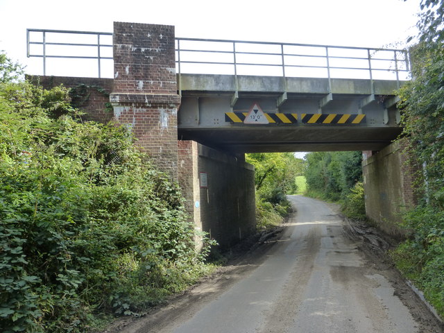
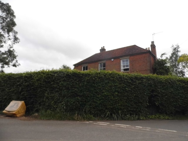
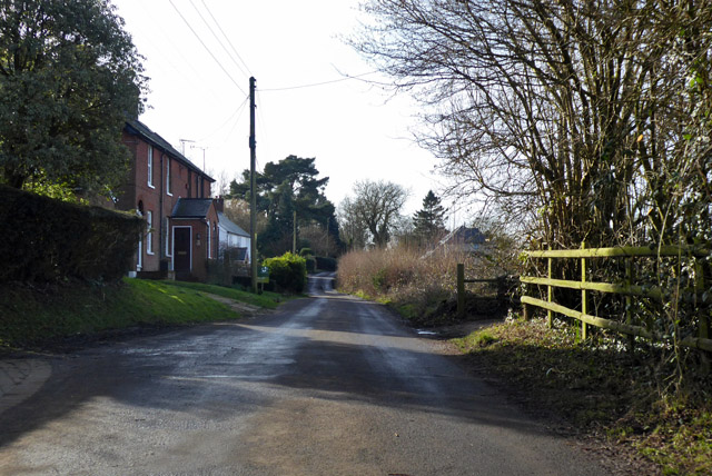
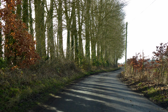
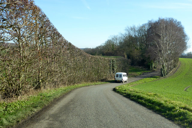
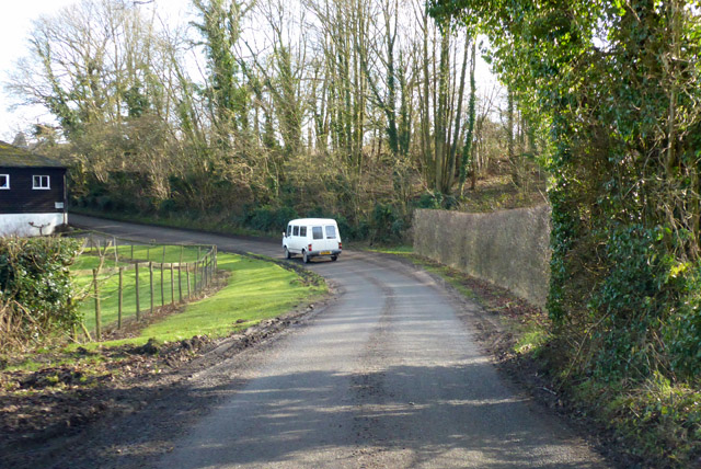
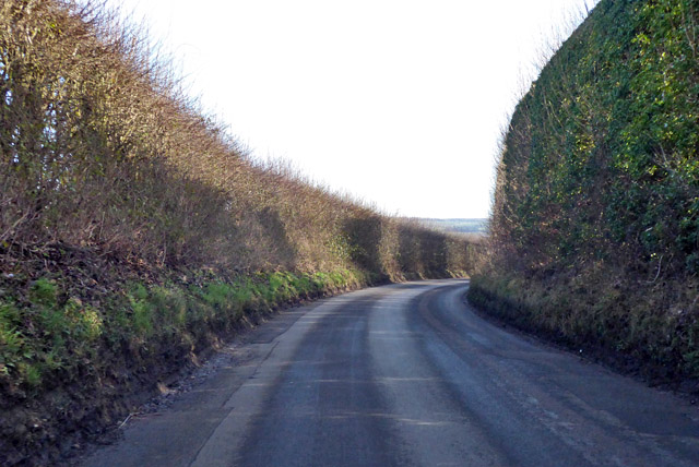
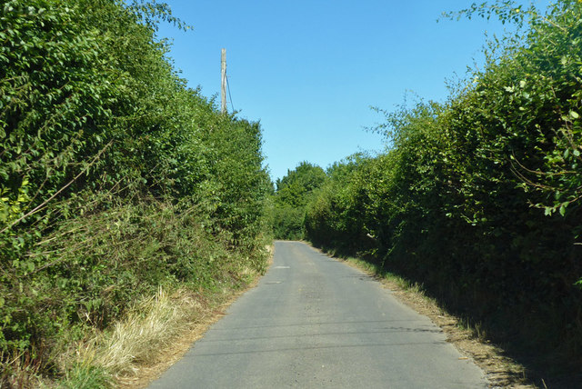
Gorewell Wood Images
Images are sourced within 2km of 51.263132/0.95660617 or Grid Reference TR0655. Thanks to Geograph Open Source API. All images are credited.


Gorewell Wood is located at Grid Ref: TR0655 (Lat: 51.263132, Lng: 0.95660617)
Administrative County: Kent
District: Ashford
Police Authority: Kent
What 3 Words
///waxer.poster.anchorman. Near Chartham, Kent
Nearby Locations
Related Wikis

Oversland
Oversland is a settlement in the Swale district of Kent, England. It is located about 1 mile (1.6 km) to the west of Selling and is situated near Selling...

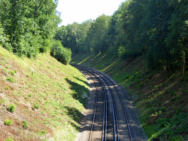
Selling railway station
Selling railway station is on the Dover branch of the Chatham Main Line in England, serving the village of Selling, Kent. It is 55 miles 18 chains (88...
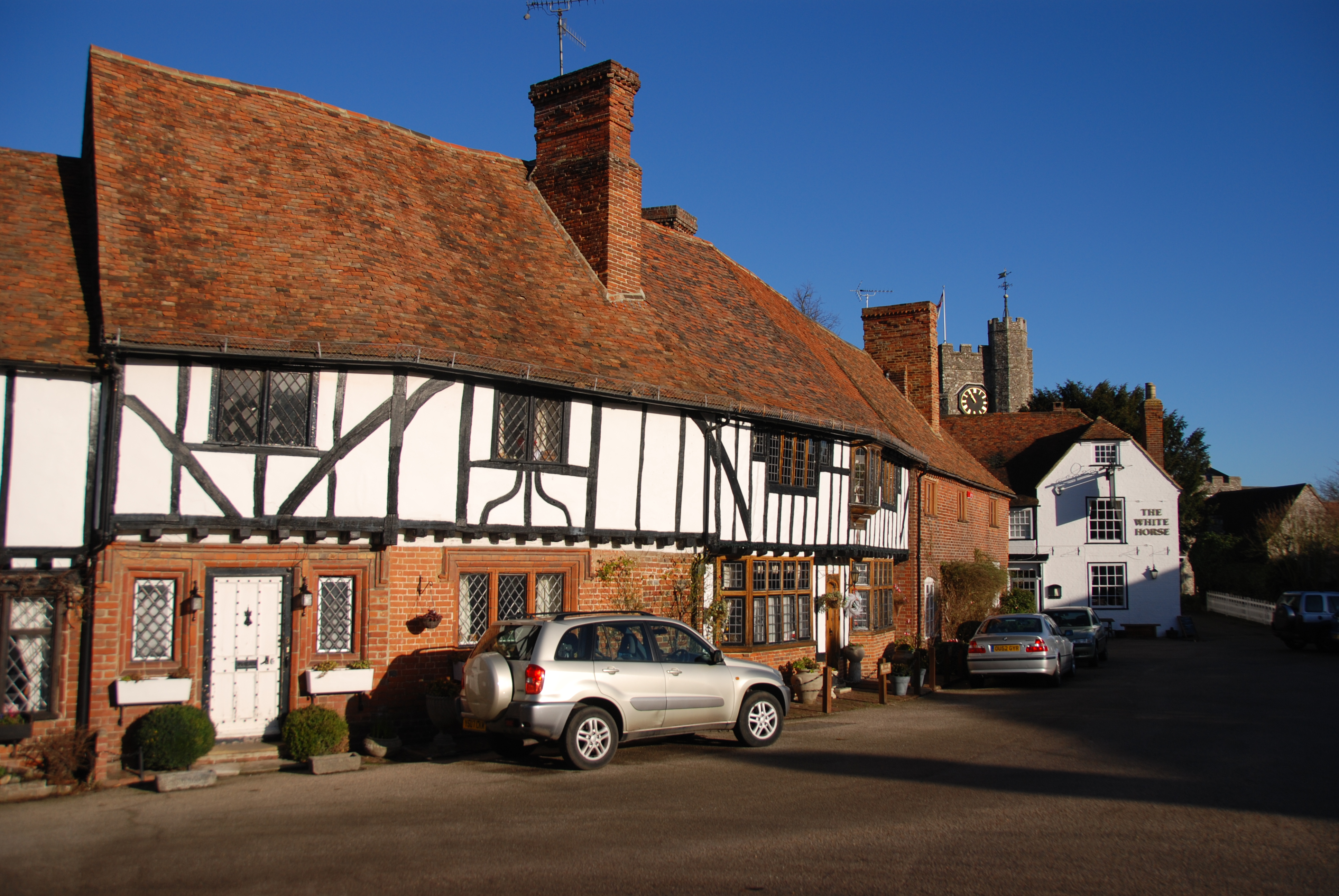
Chilham
Chilham is a mostly agricultural village and parish in the English county of Kent with a clustered settlement, Chilham village centre, in the northeast...

Chilham Castle
Chilham Castle is a Jacobean manor house and keep in the village of Chilham, between Ashford and Canterbury in the county of Kent, England. The keep is...
Perrywood
Perrywood is a village and a wood near the village of Selling, in the Swale District, in the English county of Kent. It is south of the town of Faversham...

Chilham railway station
Chilham railway station is a railway station in Chilham, Kent. It is on the Ashford to Ramsgate line between Ashford International and Canterbury West...
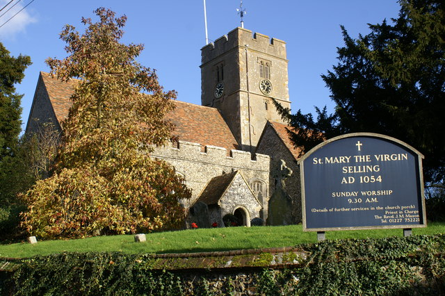
Selling, Kent
Selling is a village and civil parish southeast of Faversham and west of Canterbury in Kent, England. == Geography == The village is hilly, sloping down...

Julliberrie's Grave
Julliberrie's Grave, also known as The Giant's Grave or The Grave, is an unchambered long barrow located near to the village of Chilham in the south-eastern...
Nearby Amenities
Located within 500m of 51.263132,0.95660617Have you been to Gorewell Wood?
Leave your review of Gorewell Wood below (or comments, questions and feedback).