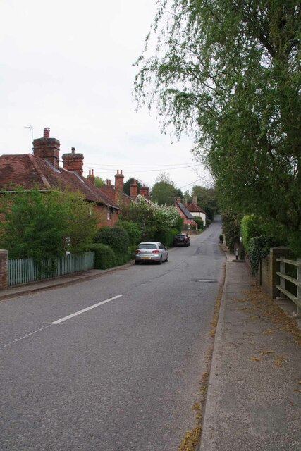
Alder Carr
Wood, Forest in Suffolk Babergh
England
Alder Carr
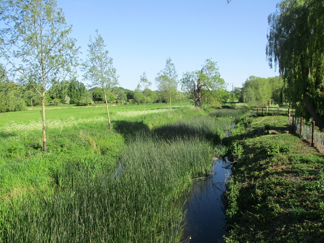
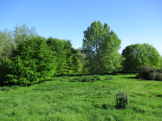
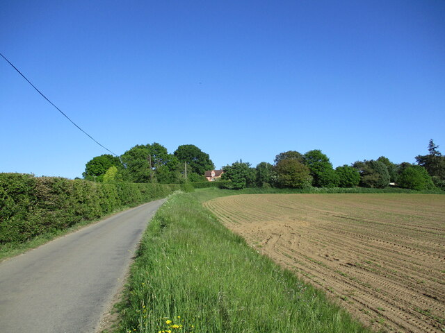
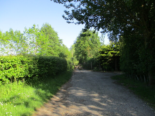
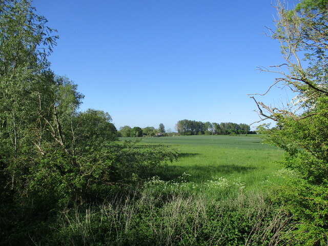
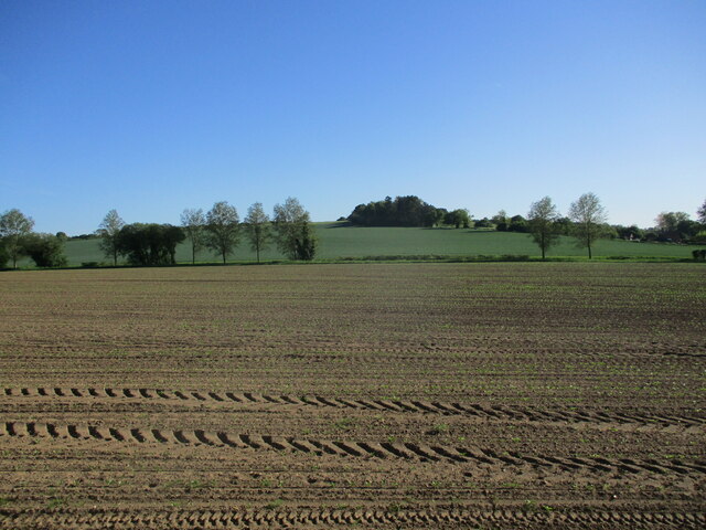
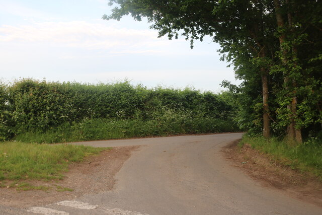
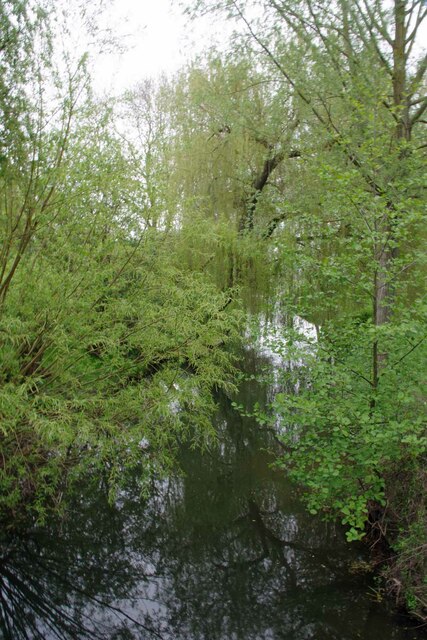
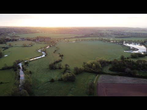
Alder Carr, Suffolk, also known as the Wood or Forest, is a picturesque area located in the eastern region of England. It is situated in the county of Suffolk, renowned for its stunning landscapes and natural beauty. Alder Carr, Suffolk, is particularly known for its dense forests and woodlands, making it a haven for nature enthusiasts and outdoor adventurers.
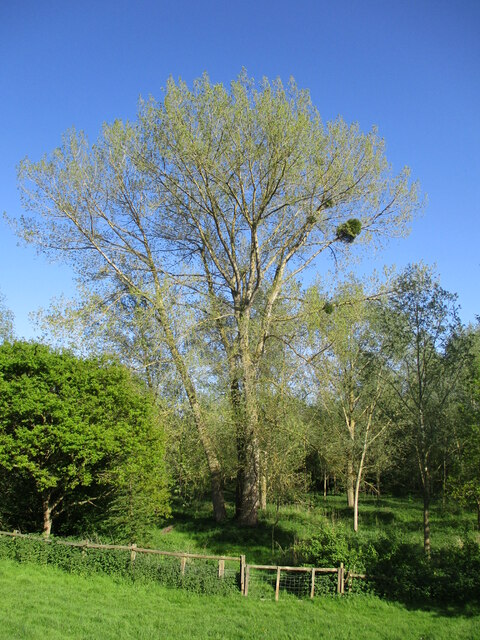
The area gets its name from the prominent presence of alder trees, which are abundant in this region. These trees add to the overall charm and tranquility of the surroundings. The forest is predominantly made up of deciduous trees, creating a rich tapestry of colors during the autumn season.
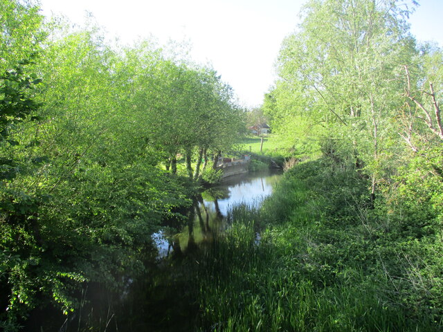
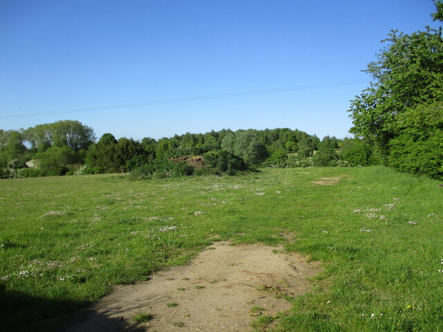
Alder Carr, Suffolk, offers a diverse range of flora and fauna. The forest is home to a variety of wildlife, including deer, foxes, rabbits, and a plethora of bird species. It provides a natural habitat for these creatures, making it an ideal destination for birdwatchers and wildlife photographers.
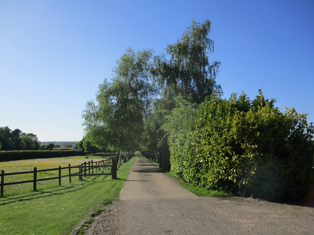
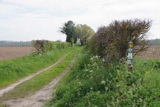
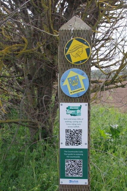
The forest also boasts several walking trails and nature reserves, allowing visitors to immerse themselves in the serene and untouched environment. The trails provide an opportunity to explore the woodlands, observe the wildlife, and enjoy the fresh air. The area is well-maintained, with designated picnic spots and rest areas for visitors to take in the beauty of their surroundings.
Whether one is seeking a peaceful retreat in nature or an adventurous exploration of the wilderness, Alder Carr, Suffolk, offers a perfect setting. Its lush greenery, diverse wildlife, and well-preserved woodlands make it a must-visit destination for nature lovers and those seeking to escape the hustle and bustle of everyday life.
If you have any feedback on the listing, please let us know in the comments section below.
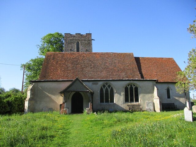
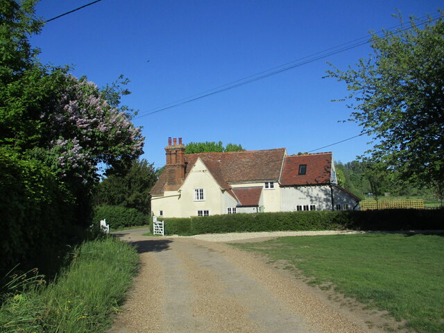
Alder Carr Images
Images are sourced within 2km of 51.99597/0.95386804 or Grid Reference TM0237. Thanks to Geograph Open Source API. All images are credited.
Alder Carr is located at Grid Ref: TM0237 (Lat: 51.99597, Lng: 0.95386804)
Administrative County: Suffolk
District: Babergh
Police Authority: Suffolk
What 3 Words
///running.plugs.revolts. Near East Bergholt, Suffolk
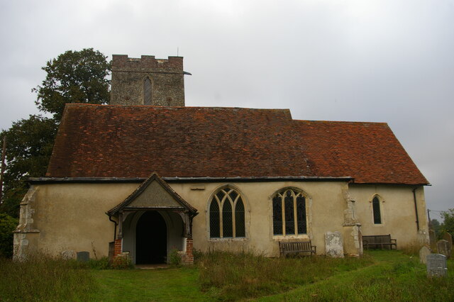
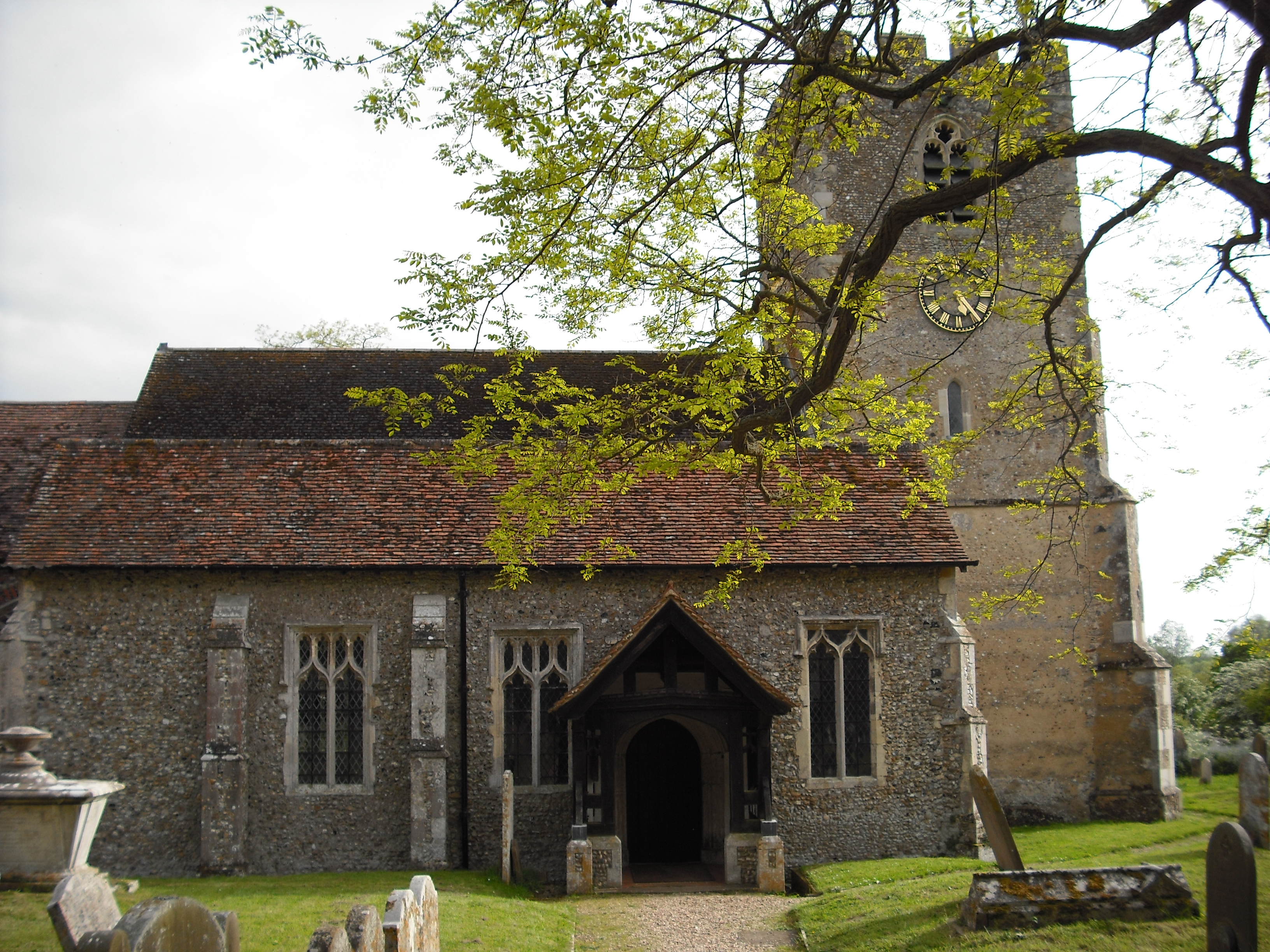
Nearby Locations
Related Wikis

Shelley, Suffolk
Shelley is a small village and civil parish in Suffolk, England. Located on the west bank of the River Brett around three miles south of Hadleigh, it is...

Giffords Hall, Stoke-by-Nayland
Giffords Hall (also called Gifford's Hall) is a Tudor manor house near Stoke-by-Nayland in Suffolk, England. It was described by Nikolaus Pevsner as “one...
Higham, Babergh
Higham is a village and civil parish in Suffolk, England. Located on the eastern bank of the River Brett (which defines the parish's western boundary)...

Withermarsh Green
Withermarsh Green is a village in the civil parish of Stoke-by-Nayland, in the Babergh district, in the county of Suffolk, England. It is located near...
Related Videos
![#77 The Real Life Hay Wain Location in Flatford & Constable Country [Cinematic Hiking Vlog]](https://i.ytimg.com/vi/JNcDuRfa2uY/hqdefault.jpg)
#77 The Real Life Hay Wain Location in Flatford & Constable Country [Cinematic Hiking Vlog]
The Hay Wain is John Constable's most famous painting, featuring Willy Lott's Cottage and the River Stour dividing the counties of ...
Constable Country 6km Loop Walk
Welcome to the Dedham Vale, where you can track the influences, vistas, and inspirations that gave us John Constable, widely ...
Wild Camping - 60km 2 day Thru-hike, Sudbury to Weeley, May 2021 - Day 2 - Andake Ultralight
Spring has finally sprung so it was time to get back out. A beautiful walk through the heart of Constable country. Their will be more ...
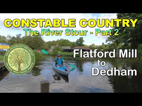
Constable Country, the River Stour. Flatford Mill To Dedham.
Enjoying my channel?, ✓: Don't Forget to LIKE SUBSCRIBE 🔔️️️ COMMENT SHARE ↗️ Having paddled upstream ...
Have you been to Alder Carr?
Leave your review of Alder Carr below (or comments, questions and feedback).