Blacksmith Plantation
Wood, Forest in Norfolk Breckland
England
Blacksmith Plantation
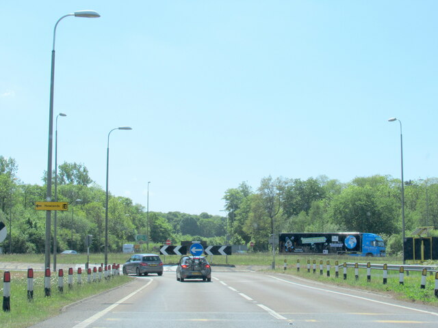
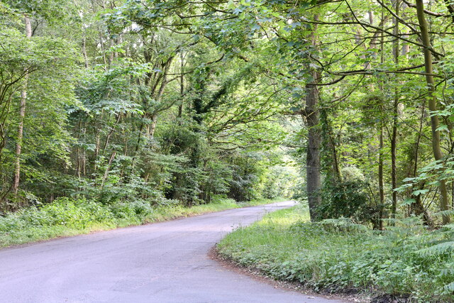
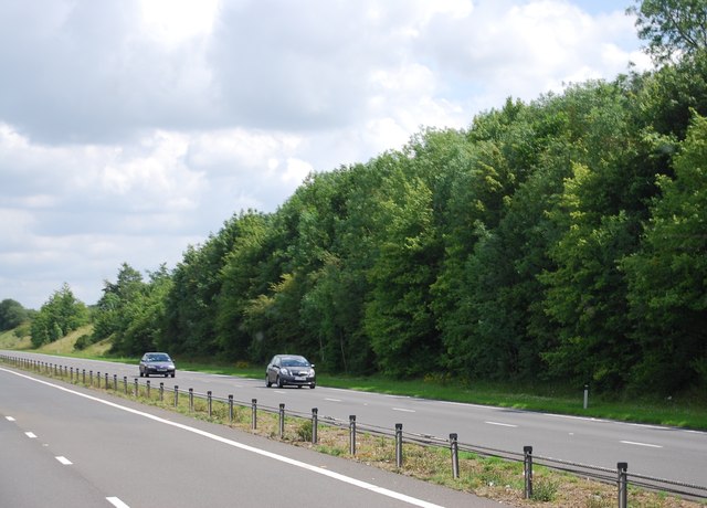
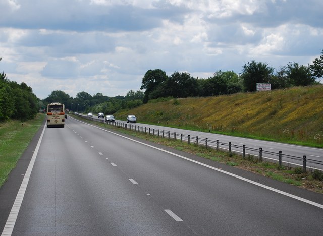
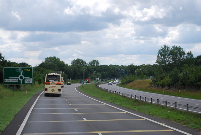
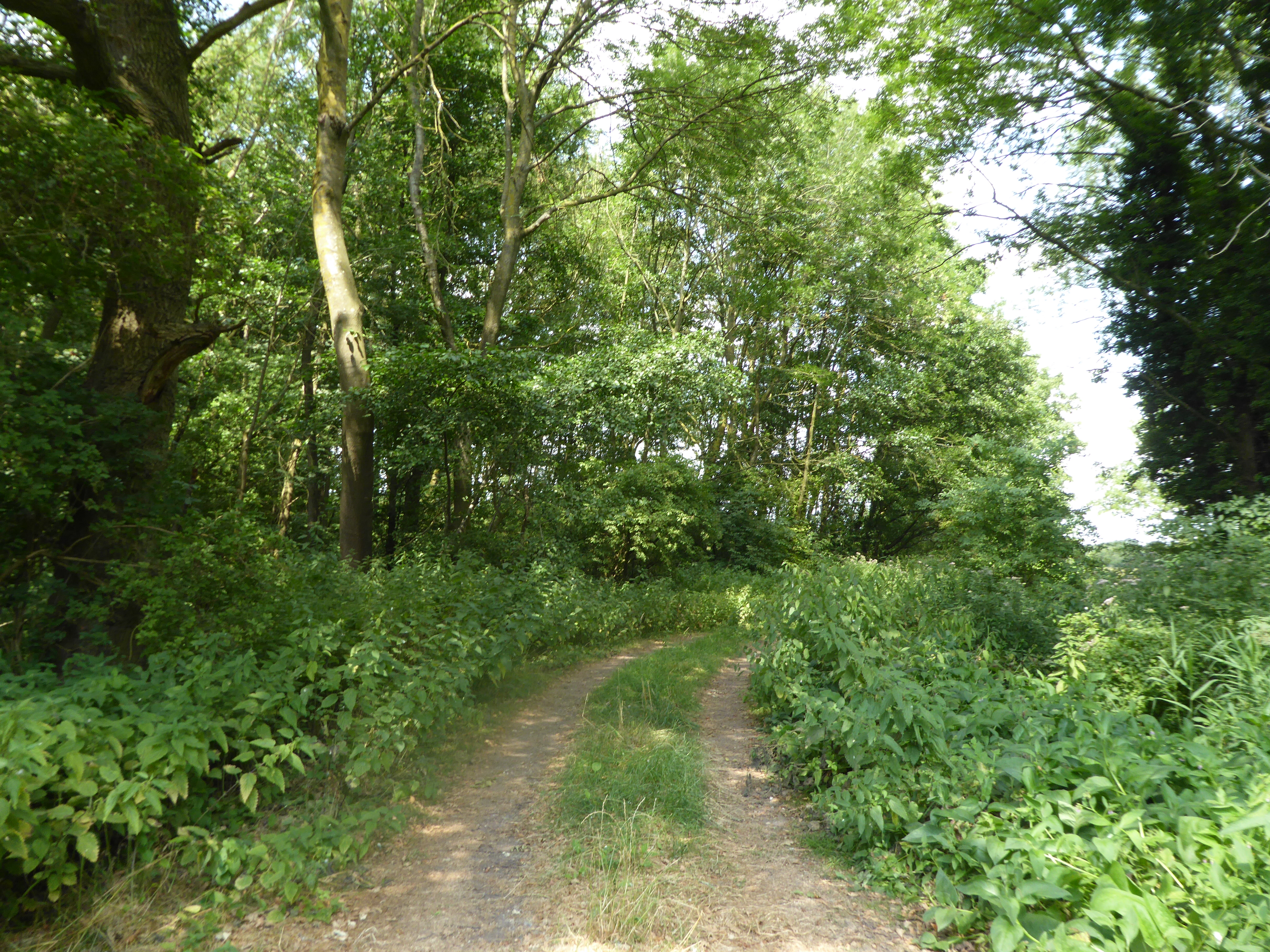
Blacksmith Plantation, located in Norfolk, is a sprawling woodland area known for its rich history and diverse ecosystem. Stretching over several acres, it is a haven for nature enthusiasts and history buffs alike.
The plantation gets its name from the blacksmith shop that once operated in the area, serving the local community and surrounding farms. Today, remnants of the blacksmith shop can still be found, adding to the plantation's historic charm. The plantation is also home to a variety of trees, including oak, pine, and maple, creating a dense forest canopy that provides shade and shelter for a wide range of wildlife.
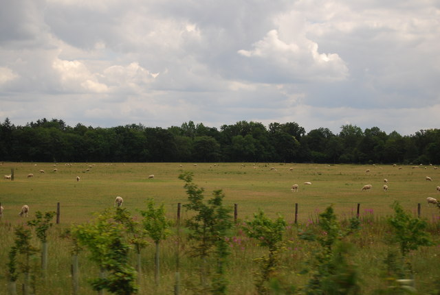
Visitors to Blacksmith Plantation can enjoy numerous recreational activities, such as hiking, birdwatching, and picnicking. Several well-maintained trails wind through the woodland, offering picturesque views of the surrounding landscape and opportunities to spot native wildlife, including deer, foxes, and various bird species. The plantation also has designated picnic areas where visitors can relax and enjoy the serene ambiance of the forest.
In addition to its natural beauty, Blacksmith Plantation holds historical significance. The plantation was once part of a larger estate and played a role in the economic development of the region. Today, it serves as a reminder of the area's past and provides a peaceful retreat for locals and tourists alike.
Blacksmith Plantation, with its lush forest, scenic trails, and historical remnants, offers a unique experience for those seeking a connection with nature and a glimpse into the past.
If you have any feedback on the listing, please let us know in the comments section below.
Blacksmith Plantation Images
Images are sourced within 2km of 52.494691/0.98724362 or Grid Reference TM0292. Thanks to Geograph Open Source API. All images are credited.


Blacksmith Plantation is located at Grid Ref: TM0292 (Lat: 52.494691, Lng: 0.98724362)
Administrative County: Norfolk
District: Breckland
Police Authority: Norfolk
What 3 Words
///rummage.renting.factually. Near Attleborough, Norfolk
Nearby Locations
Related Wikis

Kingdom of East Anglia
The Kingdom of the East Angles (Old English: Ēastengla Rīċe; Latin: Regnum Orientalium Anglorum), today known as the Kingdom of East Anglia, was a small...

Iceni
The Iceni ( eye-SEEN-eye, Classical Latin: [ɪˈkeːniː]) or Eceni were an ancient tribe of eastern Britain during the Iron Age and early Roman era. Their...

East Anglia
East Anglia is an area in the East of England, often defined as including the counties of Norfolk, Suffolk and Cambridgeshire, and more rarely, Essex as...

Swangey Fen, Attleborough
Swangey Fen, Attleborough is a 48.4-hectare (120-acre) biological Site of Special Scientific Interest south-west of Attleborough in Norfolk. It is part...
Old Buckenham Fen
Old Buckenham Fen is a 34.5-hectare (85-acre) biological Site of Special Scientific Interest south of Attleborough in Norfolk.This valley fen has cattle...

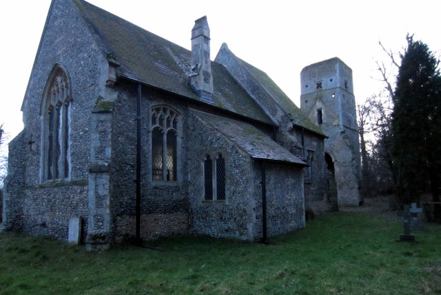
Wilby, Norfolk
Wilby is a village and former civil parish, 17 miles (27 km) south west of Norwich, now in the parish of Quidenham, in the Breckland district, in the county...
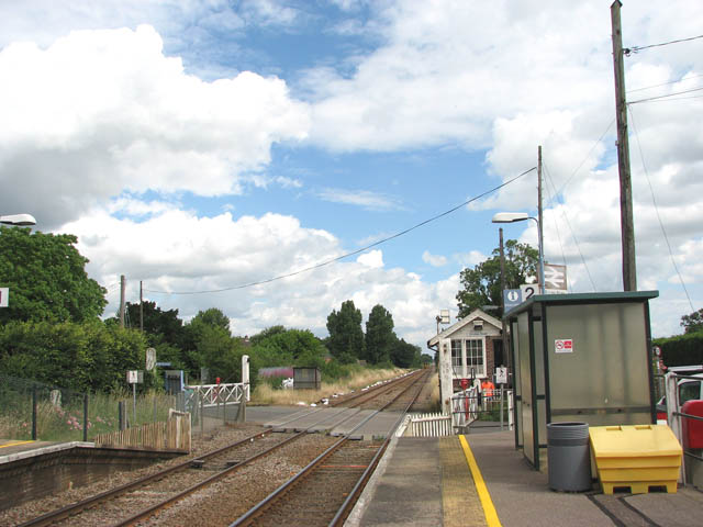
Eccles Road railway station
Eccles Road railway station is on the Breckland line in the east of England, serving the villages of Eccles, Quidenham and Wilby in Norfolk. The line runs...

Kenninghall Road Mill, East Harling
Kenninghall Road Mill is a Grade II listed tower mill at East Harling, Norfolk, England which has been converted to residential accommodation. == History... ==
Nearby Amenities
Located within 500m of 52.494691,0.98724362Have you been to Blacksmith Plantation?
Leave your review of Blacksmith Plantation below (or comments, questions and feedback).