Hobscroft Plantation
Wood, Forest in Norfolk North Norfolk
England
Hobscroft Plantation

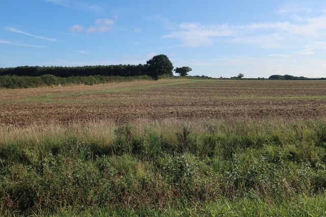
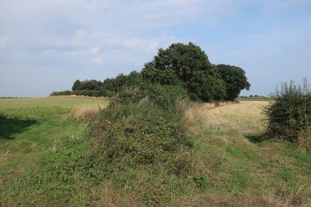
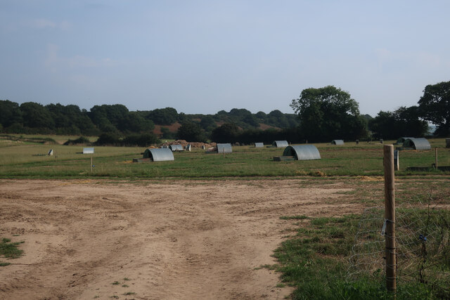
Hobscroft Plantation is a picturesque woodland located in Norfolk, England. Covering an area of approximately 100 acres, it is a haven for nature lovers and outdoor enthusiasts.
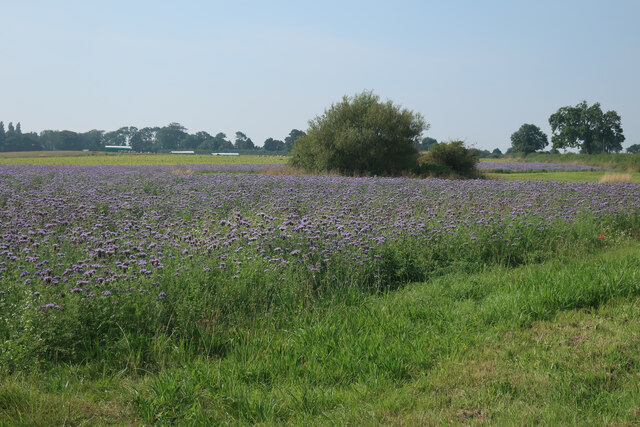
The plantation is primarily composed of a diverse mix of deciduous and coniferous trees, creating a rich and vibrant ecosystem. Oak, beech, and ash trees dominate the landscape, providing a lush and green canopy. In addition to the trees, there is an abundance of shrubs, wildflowers, and ferns that add to the beauty and biodiversity of the area.
The woodland is home to a variety of wildlife, including deer, foxes, rabbits, and a wide range of bird species. Nature enthusiasts can enjoy birdwatching, as numerous species such as woodpeckers, owls, and warblers frequent the area. The peaceful and serene atmosphere of the plantation makes it an ideal spot for wildlife observation and photography.
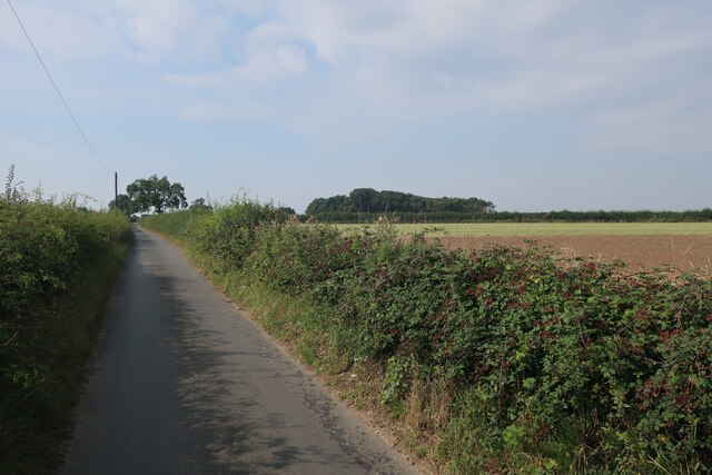
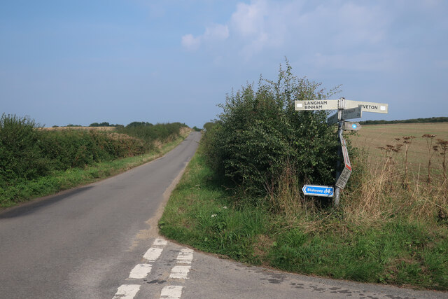
Hobscroft Plantation offers several walking trails that wind through the woodland, allowing visitors to explore and immerse themselves in nature. These trails range in difficulty, catering to both casual strollers and more adventurous hikers. Along the paths, there are informative signs and markers, providing interesting facts about the flora and fauna present in the plantation.
The plantation is open to the public year-round, with no admission fees. Visitors are encouraged to respect the natural environment and follow designated trails to minimize disturbance to wildlife and vegetation. Hobscroft Plantation offers a tranquil escape from the hustle and bustle of everyday life, providing a unique opportunity to reconnect with nature in the heart of Norfolk.
If you have any feedback on the listing, please let us know in the comments section below.
Hobscroft Plantation Images
Images are sourced within 2km of 52.927277/1.0166624 or Grid Reference TG0240. Thanks to Geograph Open Source API. All images are credited.


Hobscroft Plantation is located at Grid Ref: TG0240 (Lat: 52.927277, Lng: 1.0166624)
Administrative County: Norfolk
District: North Norfolk
Police Authority: Norfolk
What 3 Words
///remaining.porridge.awake. Near Briston, Norfolk
Nearby Locations
Related Wikis

Bilsey Hill
Bilsey Hill is a 3-hectare (7.4-acre) geological Site of Special Scientific Interest south of Blakeney in Norfolk. It is a Geological Conservation Review...
Glandford (Letheringsett Road)
Glandford (Letheringsett Road) is a 1.1-hectare (2.7-acre) geological Site of Special Scientific Interest west of Sheringham in Norfolk. It is a Geological...

Saxlingham
Saxlingham is a village and former civil parish, now in the parish of Field Dalling, in the North Norfolk district, in the county of Norfolk, England....

The Shell Museum
The Shell Museum in Glandford, Norfolk is the oldest museum in the county and holds one of the country's largest collections of sea shells. It was founded...
Nearby Amenities
Located within 500m of 52.927277,1.0166624Have you been to Hobscroft Plantation?
Leave your review of Hobscroft Plantation below (or comments, questions and feedback).